- Delaware Route 261
-
Delaware Route 261
Route information Maintained by DelDOT Length: 4.62 mi[1] (7.44 km) Major junctions South end: 
 US 202 / DE 141 near Fairfax
 DE 92 near Claymont
North end:  PA 261 in Bethel Township, PA
Highway system ←  DE 202
DE 273  →
→Delaware Route 261 (DE 261), also known as Foulk Road, is a 4.62-mile (7.44 km) state highway that connects U.S. Route 202 and Delaware Route 141 near Interstate 95 in Wilmington, Delaware with the Pennsylvania State Line in Bethel Township, where it continues into Pennsylvania as Pennsylvania Route 261. DE 261 was originally designated in the 1930s. In the 1960s, most of the route was widened into a divided highway. The southern terminus at US 202 was reconstructed into an interchange in the 2000s.
Contents
Route description
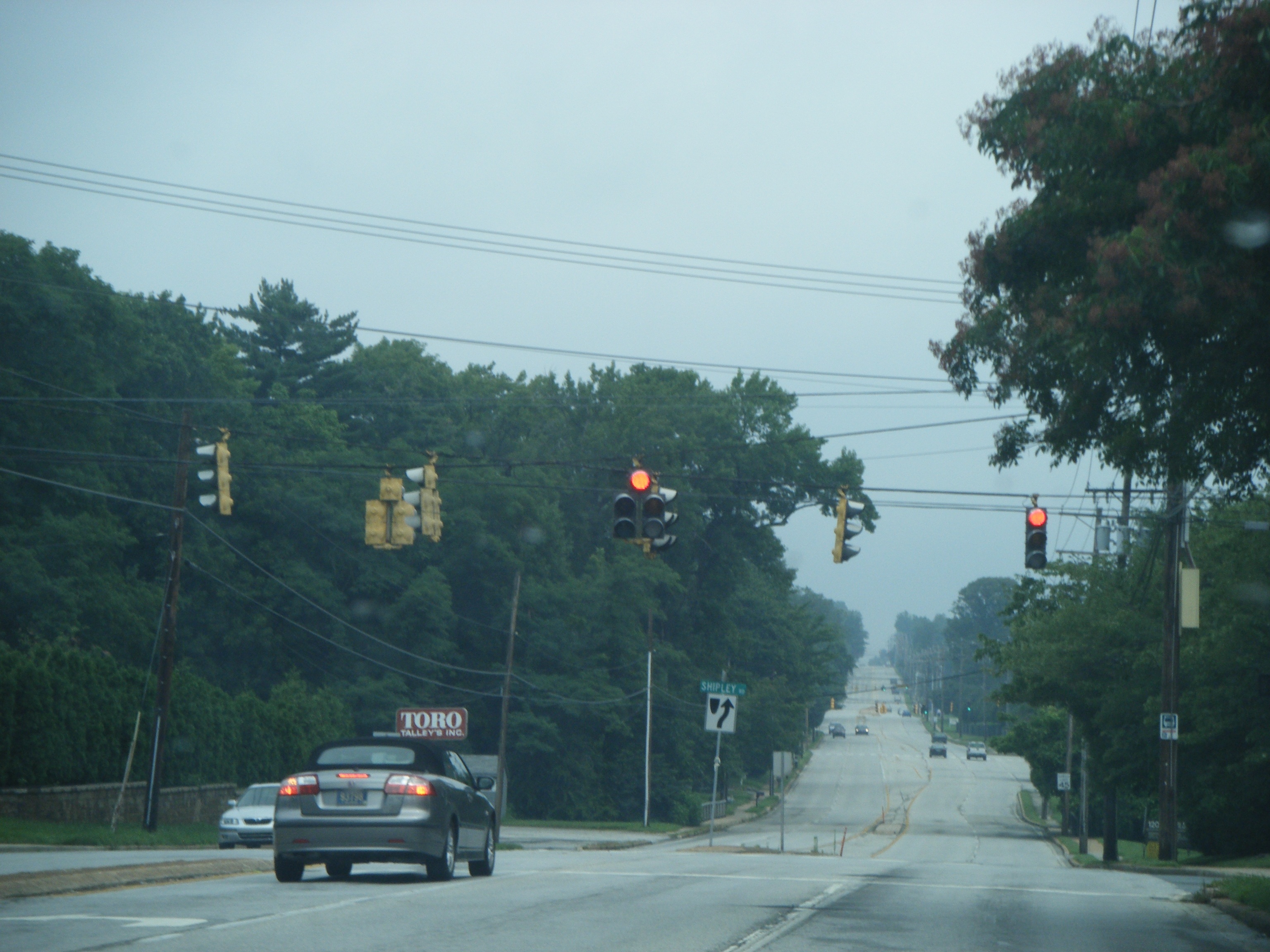
 DE 261 northbound at Shipley Road
With the exception of the northernmost mile, Delaware Route 261 is a four-lane road with, in most places, no physical barrier separating the travel lanes. The route heads to the northeast from an interchange with U.S. Route 202 and the northern terminus of Delaware Route 141. This intersection was originally a sharp at-grade intersection where Rockland Road also headed off to the northwest, however a recent reconstruction converted this intersection into an interchange and DE 141 was realigned to meet US 202 at this interchange also. DE 261 heads northeast through the suburban neighborhoods of the Brandywine Hundred area to the north of Wilmington. Most of the road passes through residential areas, however there is some commercial development. The road intersects with Delaware Route 92 near the PA State Line, with the roadway itself becoming Pennsylvania Route 261 at the DE/PA State Line. PA Route 261 continues north to U.S. Route 322 in Boothwyn, Pennsylvania.[1][2]
History
By 1920, what is now DE 261 existed as a county road.[3] When Delaware first assigned state highway numbers by 1936, what is now DE 261 had been upgraded to a state highway, but did not receive a number at that time.[4] By 1938, DE 261 was designated onto its current alignment between US 202 and the Pennsylvania border, continuing the PA 261 designation.[5] DE 261 was widened into a divided highway between US 202 and Silverside Road by 1966.[6] The divided highway portion was extended north to Naamans Road a year later.[7] In Summer 2006, construction on converting the intersection with US 202 into interchange was completed as part of the Blue Ball Properties project. DE 141 was also realigned to intersect US 202 and DE 261 at this interchange.[8]
Major intersections
The entire route is in New Castle County.
Location Mile[1] Road Notes Fairfax 0.00 US 202 (Concord Pike) / DE 141 south (Powder Mill Road)Interchange, southern terminus Brandywine Hundred 4.03 DE 92 (Naamans Road)4.62 PA 261 north (Foulk Road)Pennsylvania state line, northern terminus 1.000 mi = 1.609 km; 1.000 km = 0.621 mi See also
 U.S. Roads portal
 Delaware portal
References
- ^ a b c http://www.deldot.gov/information/pubs_forms/manuals/traffic_counts/2006/pdf/rpt_pgs1_38_rev.pdf DelDOT 2006 Traffic Count and Mileage Report
- ^ Google, Inc. Google Maps – overview of Delaware Route 261 (Map). Cartography by Google, Inc. http://maps.google.com/maps?f=d&source=s_d&saddr=powder+mill+road+and+foulk+road&daddr=DE+261+and+PA+261&geocode=FZf1XgIdTEh_-ynjBiKjxPzGiTFtzl0SbxG7JA%3BFX_PXwIdJ_p_-ymZW-h75uTGiTFIwcPwLEEeIw&hl=en&mra=ls&sll=39.779288,-75.534697&sspn=0.015039,0.042272&ie=UTF8&t=h&z=13. Retrieved February 6, 2011.
- ^ Delaware Department of Transportation (PDF). Delaware Official Highway Map (Map) (1920 ed.). http://www.deldot.gov/archaeology/historic_pres/historic_highway_maps/pdf/cd_002.pdf. Retrieved April 15, 2010.
- ^ Delaware Department of Transportation (PDF). Delaware Official Highway Map (Map) (1936/37 ed.). http://www.deldot.gov/archaeology/historic_pres/historic_highway_maps/pdf/cd_008.pdf. Retrieved April 15, 2010.
- ^ Delaware Department of Transportation (PDF). Delaware Official Highway Map (Map) (1938 ed.). http://www.deldot.gov/archaeology/historic_pres/historic_highway_maps/pdf/cd_010.pdf. Retrieved February 6, 2011.
- ^ Delaware Department of Transportation (PDF). Delaware Official Highway Map (Map) (1966 ed.). http://www.deldot.gov/archaeology/historic_pres/historic_highway_maps/pdf/cd_040.pdf. Retrieved August 19, 2010.
- ^ Delaware Department of Transportation (PDF). Delaware Official Highway Map (Map) (1967 ed.). http://www.deldot.gov/archaeology/historic_pres/historic_highway_maps/pdf/cd_042.pdf. Retrieved February 6, 2011.
- ^ "Blue Ball Properties - Project Elements". Delaware Department of Transportation. http://deldot.gov/information/projects/blue_ball/pages/elements/elements.shtml. Retrieved February 6, 2011.
External links
 Media related to Delaware Route 261 at Wikimedia CommonsCategories:
- State highways in Delaware
- Transportation in New Castle County, Delaware

Wikimedia Foundation. 2010.