- Chimichagua
-
Chimichagua 
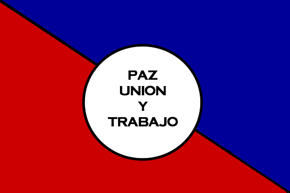
FlagNickname(s): (Spanish) "El Viejo Puerto"
"The Old Port"Motto: "Peace, Union and Work"
(Spanish) Paz, Union y TrabajoLocation of the municipality and town of Chimichagua in the Department of Cesar.
Country Colombia Region Caribbean Department Cesar Foundation 1748[1][2] Government - Mayor Rigoberto Perez
(Colombian Conservative Party)[3]Area - Total 1,568 km2 (605.4 sq mi) Population (2005) - Total 31,116 [4] Website
chimichagua-cesar.gov.co/Chimichagua is a city and municipality in the central region of the Department of Cesar, Colombia. Approximately one third of the municipality of Chimichagua is water. The municipality seat lies by the Cienaga de Zapatosa marshes.
Contents
Etymology
Chimichagua was the name of Chimila Cacique that inhabited the area at the time of the Spanish conquest. Chimichagua is the name of a Muiscas deity. Muiscas and Chimilas pertain to the same language family; the Chibchas.[5]
History
Pre-Columbian
The territory of the municipality of Chimichagua was inhabited by the indigenous group known as the Chimilas who at the time of the Spanish arrival were established in most of the Cesar River basin and its valley between the Sierra Nevada de Santa Marta and the Serrania del Perija mountain ranges and bordering the Magdalena River.[5]
Spanish conquest and colonization
Chimichagua was founded by Jose Fernando de Mier y Guerra on December 8, 1748 accompanied by Sebastian de Eslava who was in representation of the Viceroy. The village was first named Nuestra Señora de la Purísima Concepción de Chimichagua. The population of this village migrated to other nearby villages such as Tamalameque, Santa Cruz de Mompox, Valencia de Jesús and Valledupar due to accessibility problems.[5]
Republicanism
Chimichagua became a municipality by Ordinance 54 of 1892. In 1967 with the creation of the Department of Cesar Chimichagua became one of its municipalities.[5]
Politics
Administrative divisions
Corregimientos
Chimichagua has 9 corregimientos:
- Candelaria
- El Guamo
- Las Vegas
- Mindinguilla
- Saloa
- Sempegua
- Soledad
- La Mata
- El Jobo
References
- ^ Townhall of Aguachica: Generalities: History
- ^ (Spanish) DANE 2005 Census: Chimichagua
- ^ (Spanish) Interpolitico.com: Mayors of Cesar – 2008–2011
- ^ Colombiassh.org: Census 2005: Chimichagua
- ^ a b c d (Spanish) Cesar 30 Años de Progreso – Gobernación del Cesar (1997). Page 25]
External links
- (Spanish) chimichagua.gov.co
- (Spanish) Chimichagua official website
Municipalities in the Cesar Department Aguachica • Astrea • Becerril • Bosconia • Chimichagua • Chiriguaná • Codazzi • Curumaní • El Copey • El Paso • Gamarra • González • La Gloria • La Jagua de Ibirico • Los Robles La Paz • Manaure • Pailitas • Pelaya • Pueblo Bello • Rio de Oro • San Alberto • San Diego • San Martín • Tamalameque • Valledupar Categories:
- Municipalities of Cesar Department
- Populated places in the Cesar Department
- Populated places established in 1748

Wikimedia Foundation. 2010.