- La Gloria, Cesar
Infobox City
official_name = La Gloria
nickname =
motto =
imagesize =
image_caption =
image_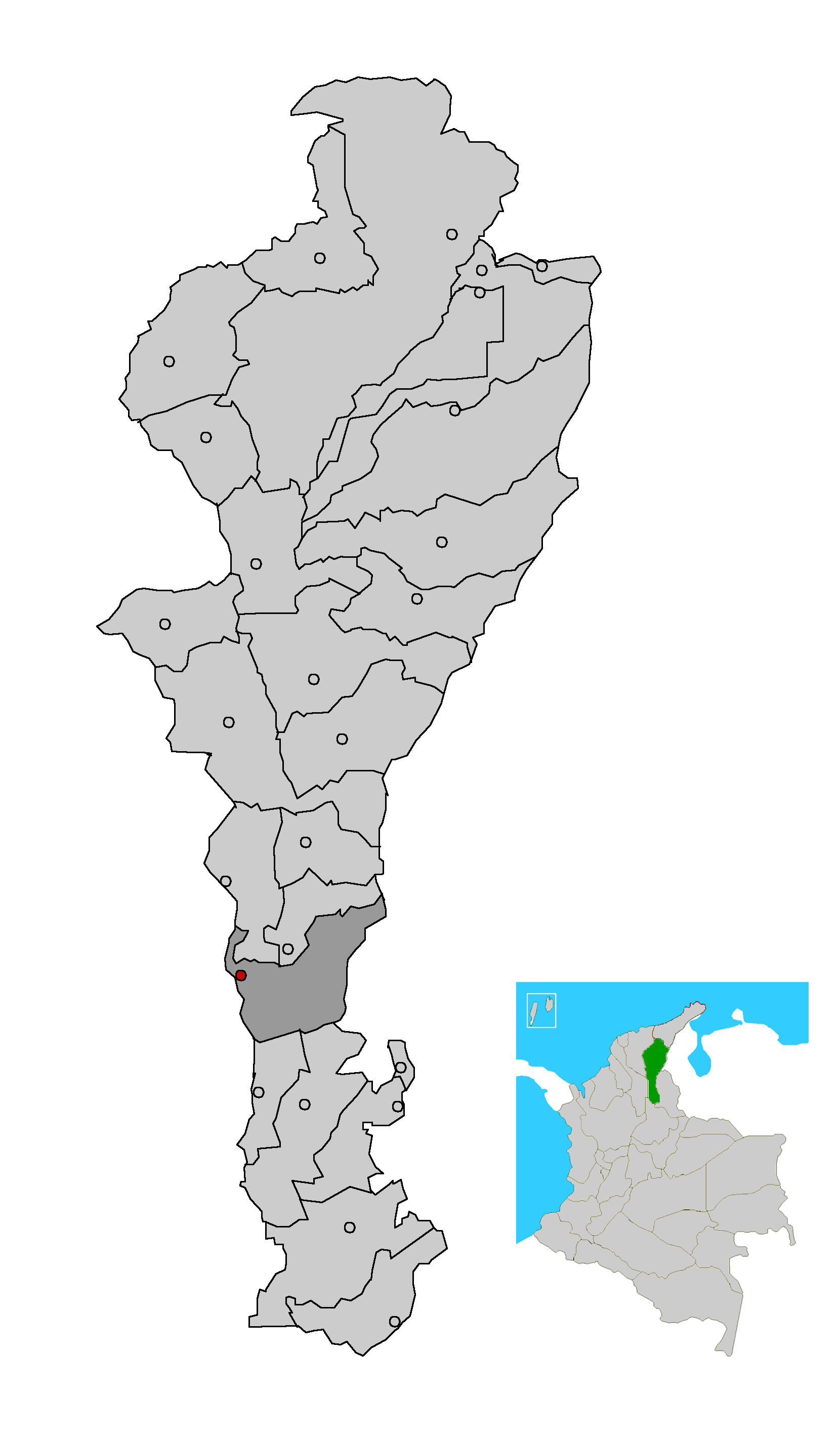
mapsize = 200px
map_caption = Location of the municipality and town of La Gloria in the Department of Cesar.
subdivision_type =Country
subdivision_type1 = Region
subdivision_type2 = Department
subdivision_name =Colombia
subdivision_name1 = Caribbean
subdivision_name2 = Cesar
leader_title =Mayor
leader_name =Fermín Cruz Romero
(Convergencia Ciudadana ) [ [http://www.interpolitico.com/noticias//noticia.php?cid=1&nid=344 es icon Interpolitico.com: Mayors of Cesar - 2008-2011] ]
established_title = Foundation
established_date =1800
area_magnitude =
area_total_sq_mi =
area_total_km2 =
area_land_sq_mi =
area_land_km2 =
area_water_sq_mi =
area_water_km2 =
area_water_percent =
area_urban_sq_mi =
area_urban_km2 =
area_metro_sq_mi =
area_metro_km2 =
population_as_of =2005
population_note = [ [http://www.colombiassh.org/site/IMG/png/demografia.pngColombiassh.org: Census 2005: La Gloria] ] [ [http://www.dane.gov.co/files/censo2005/regiones/cesar/la_gloria.pdf es icon DANE 2005 Census: La Gloria] ]
population_total = 14173
population_metro =
population_urban =
population_density_km2 =
population_density_sq_mi =
timezone =
utc_offset = -5
timezone_DST =
utc_offset_DST =
latd= |latm= |lats= |latNS=
longd= |longm= |longs= |longEW=
elevation_m =
elevation_ft =
website =
[http://lagloria-cesar.gov.co/sitio.shtml lagloria-cesar.gov.co]
footnotes =La Gloria is a
municipality and town in theDepartment of Cesar , northernColombia by theMagdalena River .Geography
La Gloria is situated to the Eastern margin of the
Magdalena River , it borders the north with the municipalities ofTamalameque andPelaya , the south with the municipalities ofGamarra andAguachica , the West with theBolivar Department and the east with theNorte de Santander Department . The municipality has been characterized as the bridge between the south of Cesar and the municipalities of the south ofBolivar . Travellers of this region of Bolivar must cross rio Magdalena, to take the highway La Gloria - La Mata.History
The town and municipality was initially founded by Benito Torices Bermudez, Juan Cruz Uribe, Gregorio Arias and Hermógenes Maza on
December 8 ,1800 with the nameCorregimiento of Belén Belén part of the Municipality of Simaña. The town served as a supportive port for fluvial vessels carrying supplies and passengers over the Magdalena River. In1888 the General Assembly of the Magdalena creates the current layout of Municipality and town of La Gloria by order 004 ofJuly 1 ,1888 and became part of thePadilla Province . In1967 the municipality adheres to the Cesar Department.Economy
It is known for its small but growing
fishing industry and itsagricultural produces. The agricultural products that stand out in the municipality arerice , cultivated in the estates of the Properties Santa Ines and Bellacruz, as well assorghum and othercereals to smaller scale. The planting ofcorn in Ayacucho and La Mata, like the fishing industry, is very well-known at national level.Transportation
There are two airports in the municipality both owned and controlled by the Colombian state owned oil company
Ecopetrol in thecorregimiento s of Simaña and Ayacucho.La gloria connects to the rest of the Cesar Department towns by a highway leading to the town of La Mata and a railway that connects to the main southern towns of the department. La Gloria train station is considered by the
Colombian Ministry of Culture as an estate of national cultural interest. [http://sinic.mincultura.gov.co/BICCN/BICCN_dpto.asp?depa_cod=20#]The
Magdalena River easily communicates with other cities over this river, the most important of them beingBarranquilla .References
External links
*es icon [http://lagloria-cesar.gov.co/sitio.shtml La Gloria official website]
Wikimedia Foundation. 2010.