- South Northamptonshire
-
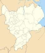
South Northamptonshire Council — District — Shown within Northamptonshire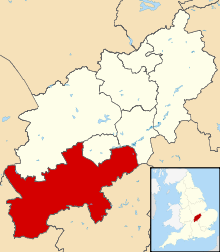
Sovereign state United Kingdom Constituent country England Region East Midlands Administrative county Northamptonshire Founded Admin. HQ Towcester Government – Type South Northamptonshire District Council – Leadership: Leader & Cabinet – Executive: Conservative – MPs: Tim Boswell,
Brian BinleyArea – Total 244.8 sq mi (634.0 km2) Area rank 65th Population (2010 est.) – Total 88,800 – Rank Ranked 263rd – Density 362.8/sq mi (140.1/km2) Time zone Greenwich Mean Time (UTC+0) – Summer (DST) British Summer Time (UTC+1) Postcode ISO 3166-2 ONS code 34UG OS grid reference NUTS 3 Ethnicity 98.4% White Website southnorthants.gov.uk South Northamptonshire is a local government district in Northamptonshire, England. Its council is based in Towcester.
The district is rural and sparsely populated with just over 79,293 people in 2000[1] and 91,000 in 2008, a 14.8% increase.[2] The largest town in the district is Brackley, which has a population of 14,000 in 2008[2] followed by Towcester which has a population of nearly 10,000.[2] Other significant places include Middleton Cheney. The growth in population between 2001 and 2007 was the 3rd largest of all districts in the country and consisted of 35,700 households.[3]
The district was formed on 1 April 1974, under the Local Government Act 1972, and was a merger of the municipal borough of Brackley, along with Brackley Rural District, Towcester Rural District, and part of Northampton Rural District.
Settlements and parishes
For a complete list for Northamptonshire see List of places in Northamptonshire
- Abthorpe, Adstone, Ashton, Aston le Walls, Astrop, Aynho
- Blakesley, Blisworth, Boddington, Brackley, Bradden, Brafield-on-the-Green, Bugbrooke
- Caldecote, Castle Ashby, Chacombe, Charlton, Chipping Warden, Cogenhoe, Cold Higham, Cosgrove, Courteenhall, Croughton, Culworth
- Deanshanger, Denton
- Easton Neston, Edgcote, Evenley, Eydon
- Farthinghoe
- Gayton, Grafton Regis, Grange Park, Greatworth, Greens Norton
- Hackleton, Harpole, Hartwell, Helmdon, Hinton-in-the-Hedges
- Kings Sutton, Kislingbury
- Litchborough, Little Houghton
- Maidford, Marston St Lawrence, Middleton Cheney, Milton Malsor, Moreton Pinkney
- Nether Heyford, Newbottle
- Old Stratford, Overthorpe
- Pattishall, Paulerspury, Potterspury
- Quinton
- Radstone, Roade, Rothersthorpe
- Shutlanger, Silverstone, Slapton, Stoke Bruerne, Sulgrave, Syresham
- Thenford, Thorpe Mandeville, Tiffield, Towcester
- Upper Heyford
- Wappenham, Warkworth, Weedon Lois, Weston, Whiston, Whitfield, Whittlebury, Wicken, Woodend
- Yardley Gobion, Yardley Hastings
Gallery
-
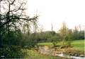
Farmland outside the village of King's Sutton in Northamptonshire in 2009.
-

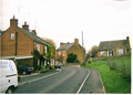
King's Sutton railway station was upgraded and re-gained its footbridge in 2009.
-
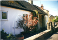
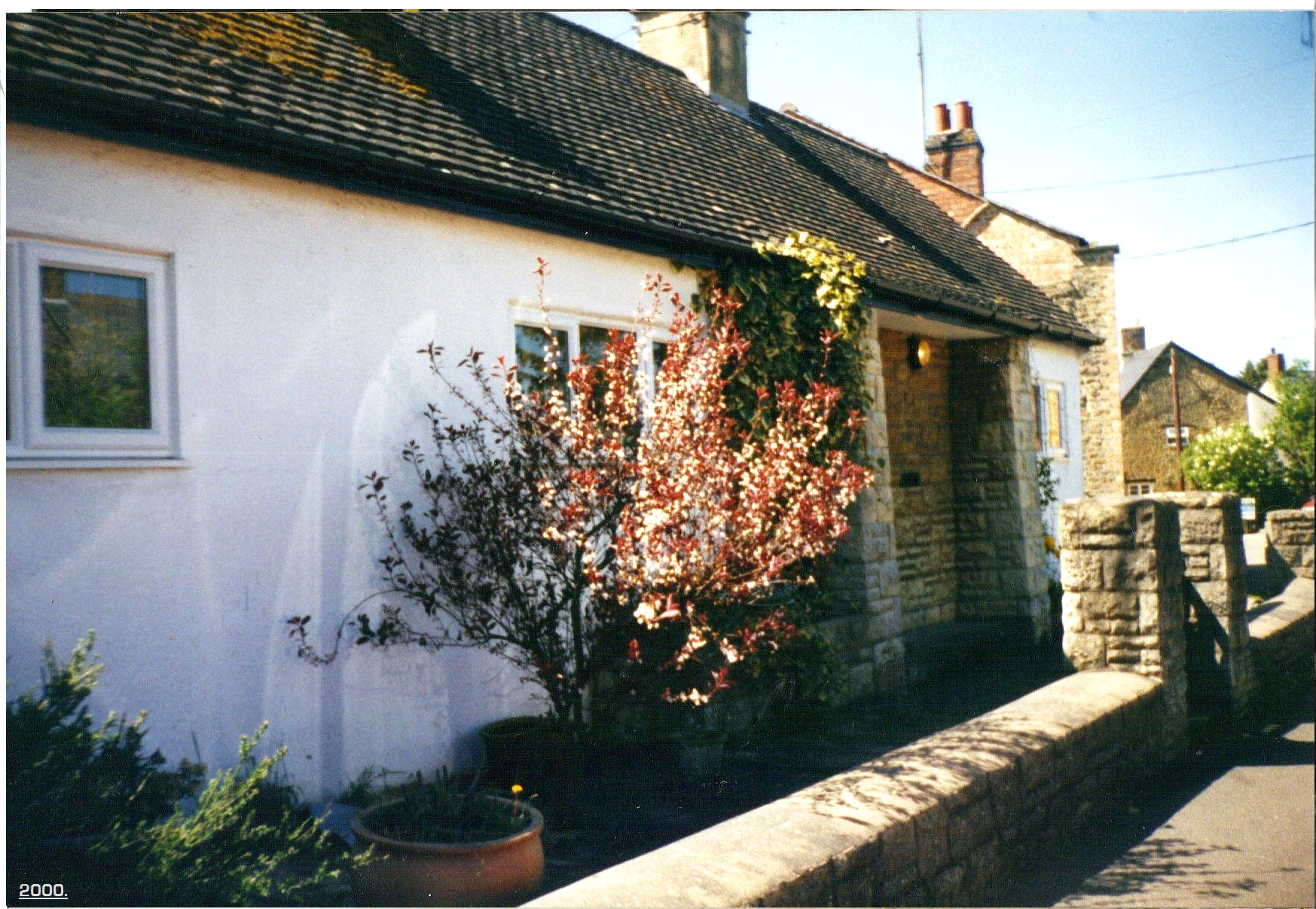
A picture of King' Sutton in 2000.
-
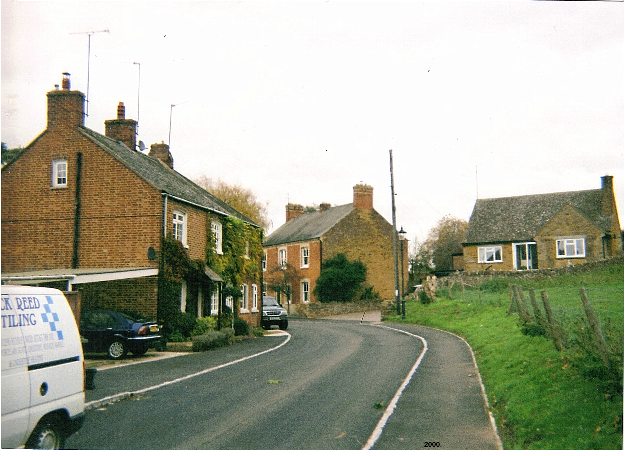
A picture of King's Sutton in 2000.
References
- ^ "A Vision of Britain - extensive local statistical data". http://www.visionofbritain.org.uk/GBH_match_page.jsp?ons=South%20Northamptonshire. Retrieved 2008-01-19.
- ^ a b c South Northamptonshire Council (2009). "State of the Districts Economy in 2009" base on Office of National Statistics data. Towcester: SNC. pp. 5.
- ^ South Northamptonshire Council (2008). "The Way Ahead". Towcester: SNC. pp. 3.
Ceremonial county of Northamptonshire Boroughs or districts - Corby
- Daventry
- East Northamptonshire
- Kettering
- Northampton
- South Northamptonshire
- Wellingborough
Major settlements Rivers Canals Topics Derbyshire Amber Valley • Bolsover • Chesterfield • Derby • Derbyshire Dales • Erewash • High Peak • North East Derbyshire • South Derbyshire
Leicestershire Lincolnshire Nottinghamshire Ashfield • Bassetlaw • Broxtowe • Gedling • Mansfield • Newark and Sherwood • Nottingham • Rushcliffe
Northamptonshire Corby • Daventry • East Northamptonshire • Kettering • Northampton • South Northamptonshire • Wellingborough
Rutland Categories:- Local government in Northamptonshire
- Non-metropolitan districts of Northamptonshire
- Local government districts of the East Midlands


Wikimedia Foundation. 2010.