- Charlton, Northamptonshire
-
Coordinates: 52°01′12″N 1°13′55″W / 52.01992°N 1.23197°W
Charlton
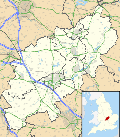
 Charlton shown within Northamptonshire
OS grid reference SP528360 District South Northamptonshire Shire county Northamptonshire Region East Midlands Country England Sovereign state United Kingdom Post town BANBURY Postcode district OX17 Police Northamptonshire Fire Northamptonshire Ambulance East Midlands EU Parliament East Midlands List of places: UK • England • Northamptonshire Charlton is a village in the parish of Newbottle, Northamptonshire, England in between Brackley and Kings Sutton, lying close to a small tributary of the River Cherwell. It is a small village with a population about 200[citation needed].
Other nearby villages include Croughton, Aynho and Hinton-in-the-Hedges. The remains of an iron age fort, Rainsborough Camp[citation needed], lie just to the south of the village.
External links
 Media related to Charlton, Northamptonshire at Wikimedia CommonsCategories:
- Villages in Northamptonshire
- Banburyshire
- Northamptonshire geography stubs
Wikimedia Foundation. 2010.

