- National Register of Historic Places listings in Carbon County, Utah
-
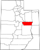
 Location of Carbon County in Utah
This is a list of the National Register of Historic Places listings in Carbon County, Utah.
This is intended to be a complete list of the properties and districts on the National Register of Historic Places in Carbon County, Utah, United States. Latitude and longitude coordinates are provided for many National Register properties and districts; these locations may be seen together in a Google map.[1]
There are 56 properties and districts listed on the National Register in the county, including 1 National Historic Landmark.
-
- This National Park Service list is complete through NPS recent listings posted November 10, 2011.[2]
Contents
Current listings
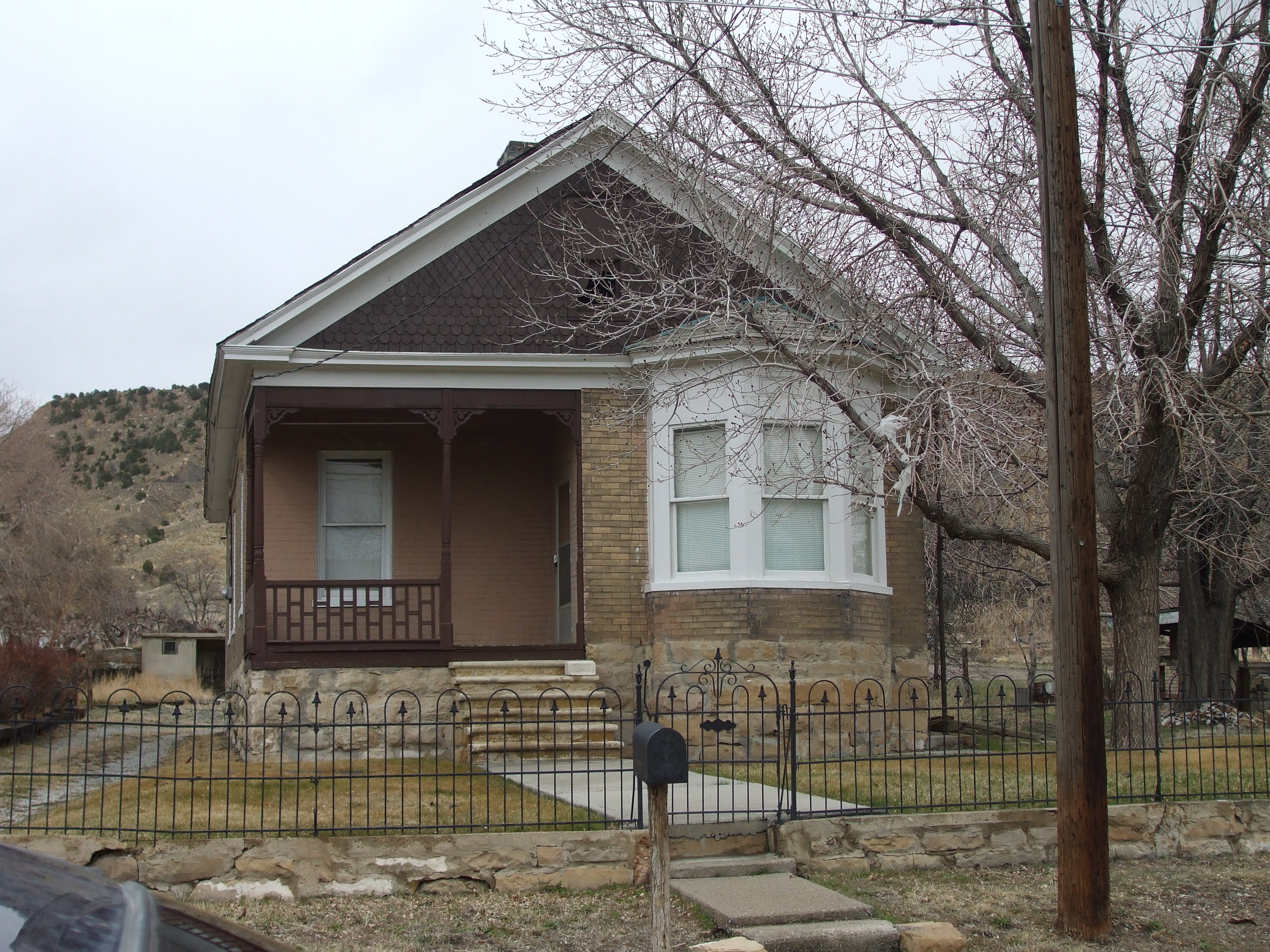
[3] Landmark name [4] Image Date listed Location City or town Summary 1 42Cb31 November 30, 2009 Address Restricted Wellington Archaeological site in Nine Mile Canyon 2 42Cb33 November 30, 2009 Address Restricted Wellington Archaeological site in Nine Mile Canyon 3 42Cb36 November 30, 2009 Address Restricted Wellington Archaeological site in Nine Mile Canyon, comprising a Fremont granary and petroglyph 4 42Cb46 November 30, 2009 Address Restricted Wellington Archaeological site in Nine Mile Canyon 5 42Cb48 November 30, 2009 Address Restricted Wellington Archaeological site in Nine Mile Canyon 6 42Cb50 November 30, 2009 Address Restricted Wellington Archaeological site in Nine Mile Canyon 7 42Cb51 November 30, 2009 Address Restricted Wellington Archaeological site in Nine Mile Canyon 8 42Cb52 November 30, 2009 Address Restricted Wellington Archaeological site in Nine Mile Canyon 9 42Cb145 November 30, 2009 Address Restricted Wellington Archaeological site in Nine Mile Canyon 10 42Cb242 November 30, 2009 Address Restricted Wellington Archaeological site in Nine Mile Canyon 11 42Cb690 November 30, 2009 Address Restricted Wellington Archaeological site in Nine Mile Canyon 12 42Cb697 November 30, 2009 Address Restricted Wellington Archaeological site in Nine Mile Canyon 13 42Cb729 November 30, 2009 Address Restricted Wellington Archaeological site in Nine Mile Canyon 14 42Cb730 November 30, 2009 Address Restricted Wellington Archaeological site in Nine Mile Canyon 15 42Cb731 November 30, 2009 Address Restricted Wellington Archaeological site in Nine Mile Canyon 16 42Cb736 November 30, 2009 Address Restricted Wellington Archaeological site in Nine Mile Canyon 17 42Cb743 November 30, 2009 Address Restricted Wellington Archaeological site in Nine Mile Canyon 18 42Cb744 November 30, 2009 Address Restricted Wellington Archaeological site in Nine Mile Canyon 19 42Cb745 November 30, 2009 Address Restricted Wellington Archaeological site in Nine Mile Canyon, a petroglyph panel that includes a depiction of two adult Bighorn Sheep nose-to-nose 20 42Cb746 November 30, 2009 Address Restricted Wellington Archaeological site in Nine Mile Canyon 21 42Cb804 November 30, 2009 Address Restricted Wellington Archaeological site in Nine Mile Canyon 22 42Cb809 November 30, 2009 Address Restricted Wellington Archaeological site in Nine Mile Canyon 23 42Cb811 November 30, 2009 Address Restricted Wellington Archaeological site in Nine Mile Canyon 24 42Cb851 November 30, 2009 Address Restricted Wellington Archaeological site in Nine Mile Canyon 25 42Cb893 November 30, 2009 Address Restricted Wellington Archaeological site in Nine Mile Canyon 26 42Cb969 November 30, 2009 Address Restricted Wellington Archaeological site in Nine Mile Canyon 27 42Cb974 November 30, 2009 Address Restricted Wellington Archaeological site in Nine Mile Canyon 28 42Cb1252 November 30, 2009 Address Restricted Wellington Archaeological site in Nine Mile Canyon, consisting of a single pictograph on the underside of a rock overhang 29 42Cb1758 November 30, 2009 Address Restricted Wellington Archaeological site in Nine Mile Canyon, a complex consisting of an agricultural terrace, a pictograph, and a historical-era lambing pen. Documented in 2002 by the Moab Fire Center in an inventory for the Dry Canyon Fuels Treatment Project. 30 42Cb2024 November 30, 2009 Address Restricted Wellington Archaeological site in Nine Mile Canyon 31 42Cb2043 November 30, 2009 Address Restricted Wellington Archaeological site in Nine Mile Canyon 32 42Cb2218 November 30, 2009 Address Restricted Wellington Archaeological site in Nine Mile Canyon 33 42Dc706 November 30, 2009 Address Restricted Wellington Archaeological site in Nine Mile Canyon 34 Albert and Mariah Bryner House 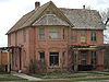
September 12, 2008 68 S. 100 East
39°35′55″N 110°48′33″W / 39.59854°N 110.80916°WPrice 35 Clerico Commercial Building 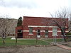
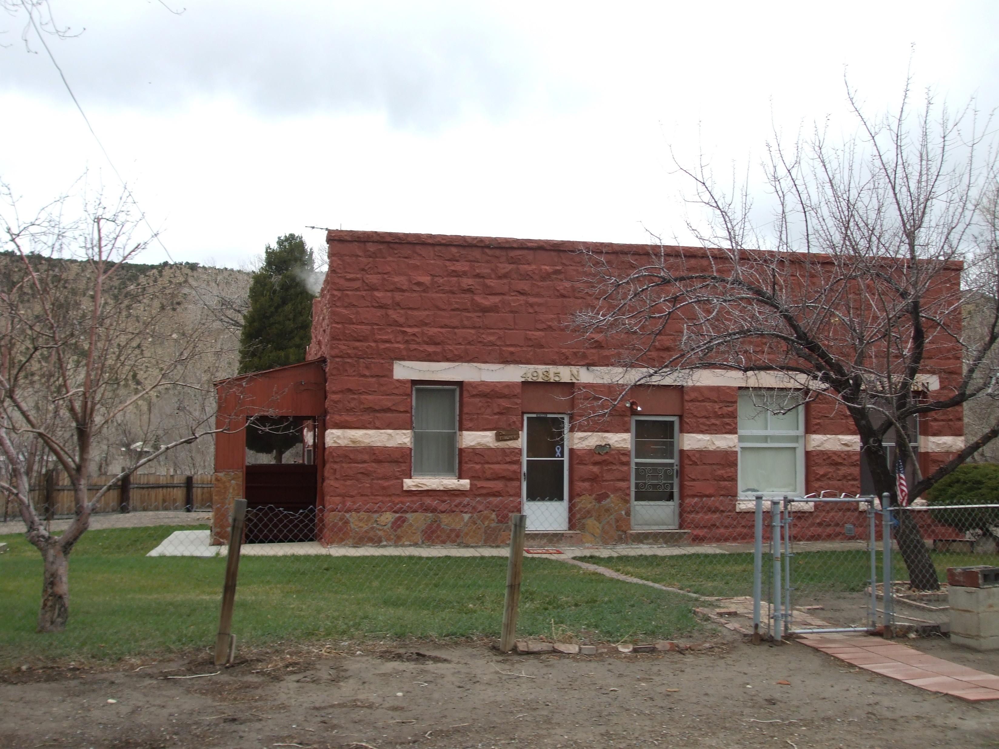
May 20, 1999 4985 N. Spring Glen Rd.
39°40′25″N 110°51′33″W / 39.673611°N 110.859167°WSpring Glen 36 Cottonwood Village November 30, 2009 Address Restricted Wellington Archaeological site in Nine Mile Canyon, a group of Fremont pit-houses on a hill overlooking Nine Mile Creek in Cottonwood Canyon 37 Desolation Canyon November 24, 1968 Along the Green River in eastern Carbon County between Ouray and Green River
39°30′1″N 110°1′19″W / 39.50028°N 110.02194°W[5]Green River Split between Emery, Grand, Carbon, and Uintah counties 38 Drop-Dead Ruin November 30, 2009 Address Restricted Wellington Archaeological site in Nine Mile Canyon 39 First Canyon Site November 30, 2009 Address Restricted Wellington Archaeological site in Nine Mile Canyon, the first prominent rock art panel visible from the road on entering the canyon 40 Flat Canyon Archeological District December 12, 1978 Address Restricted Price 41 Oliver John Harmon House 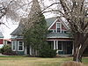
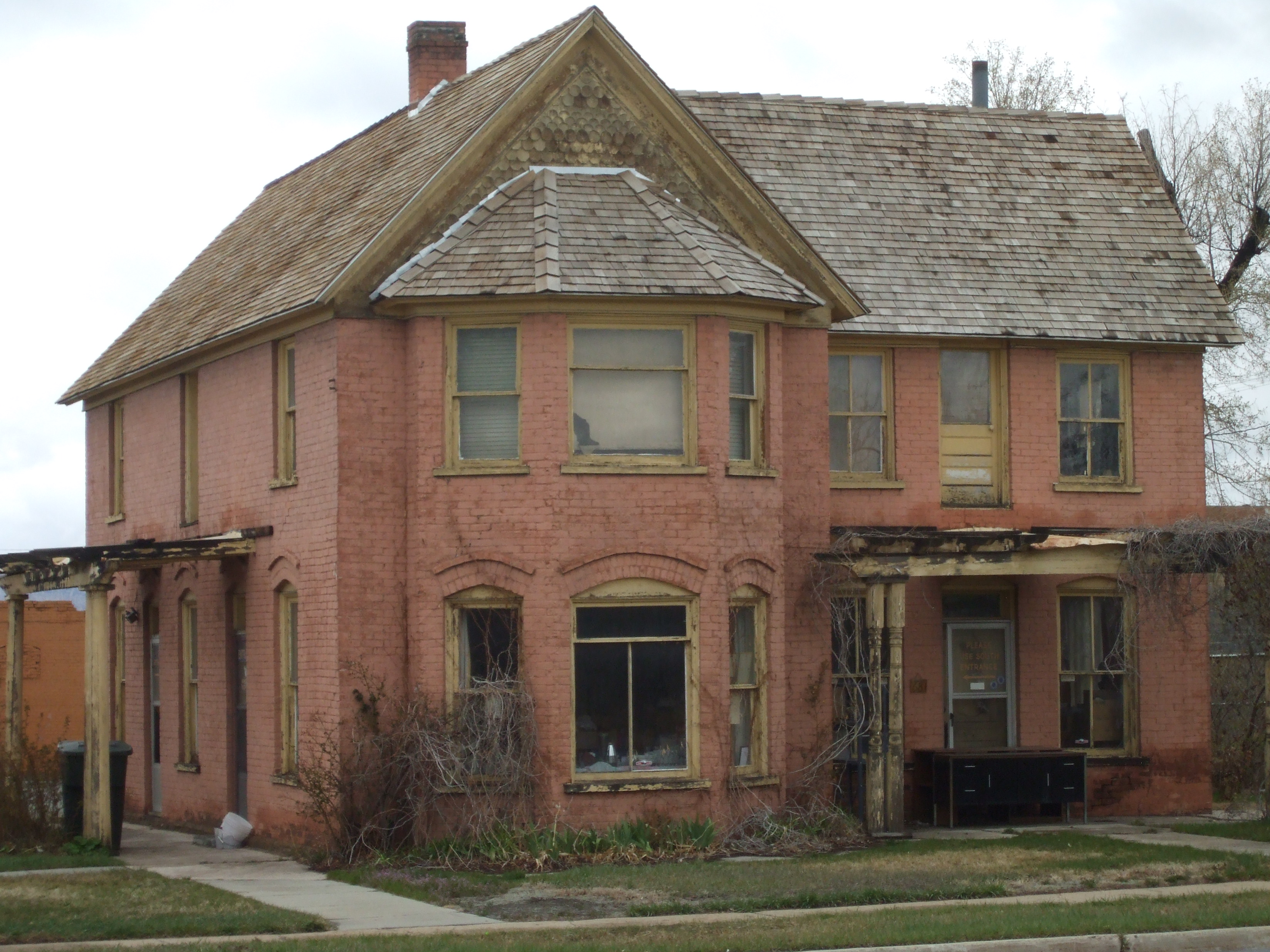
August 18, 1992 211 S. 200 East
39°35′47″N 110°48′23″W / 39.596389°N 110.806389°WPrice 42 Hellenic Orthodox Church of the Assumption 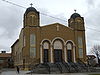
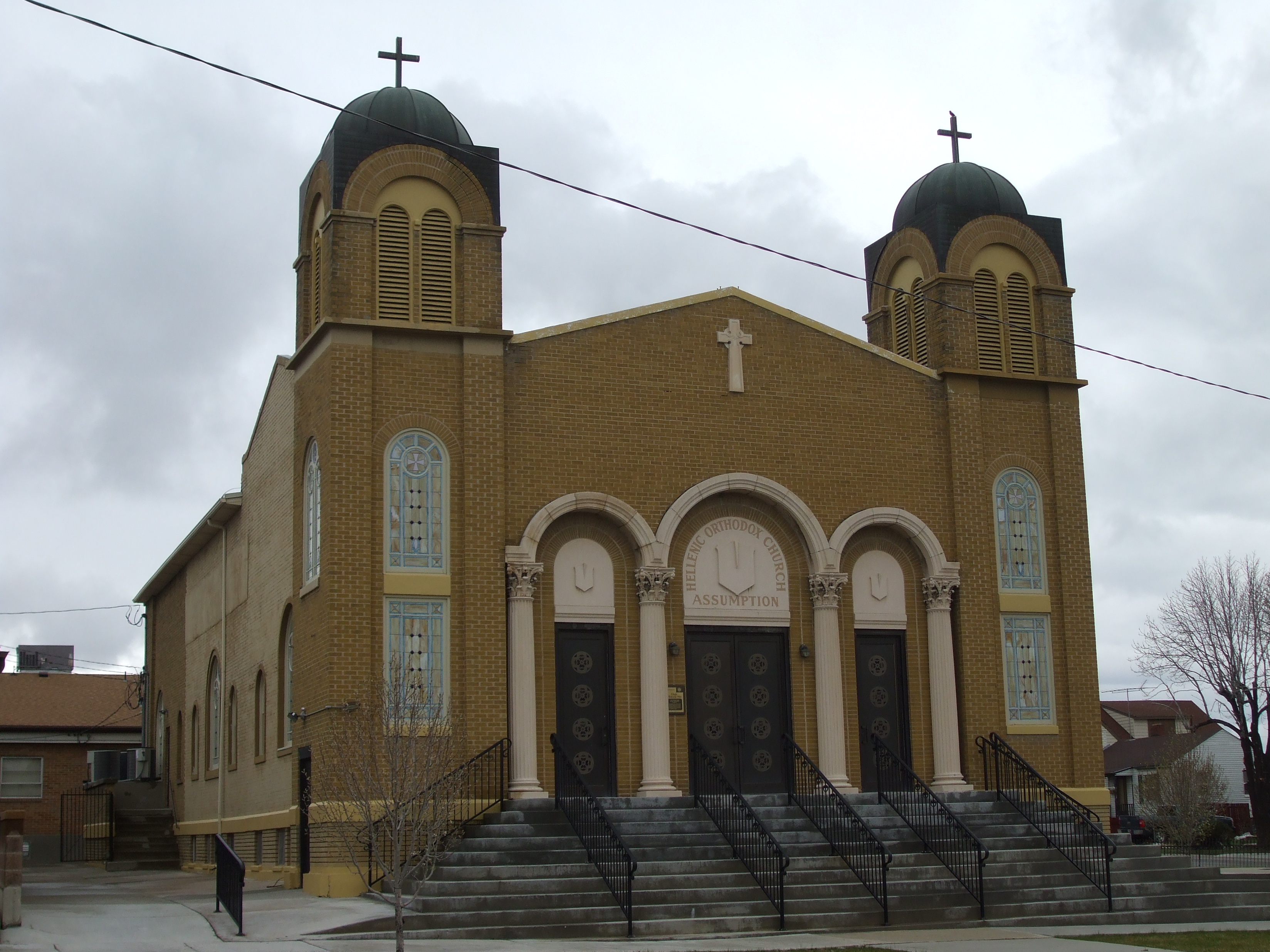
April 11, 1973 61 S. 2nd East
39°35′55″N 110°48′26″W / 39.598611°N 110.807222°WPrice 43 Helper Commercial District 
July 24, 1979 Bounded by railroad tracks and Janet, 1st West, and Locust Sts.
39°41′07″N 110°51′13″W / 39.685278°N 110.853611°WHelper 44 James W. and Mary K. Loofbourow House 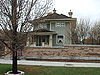
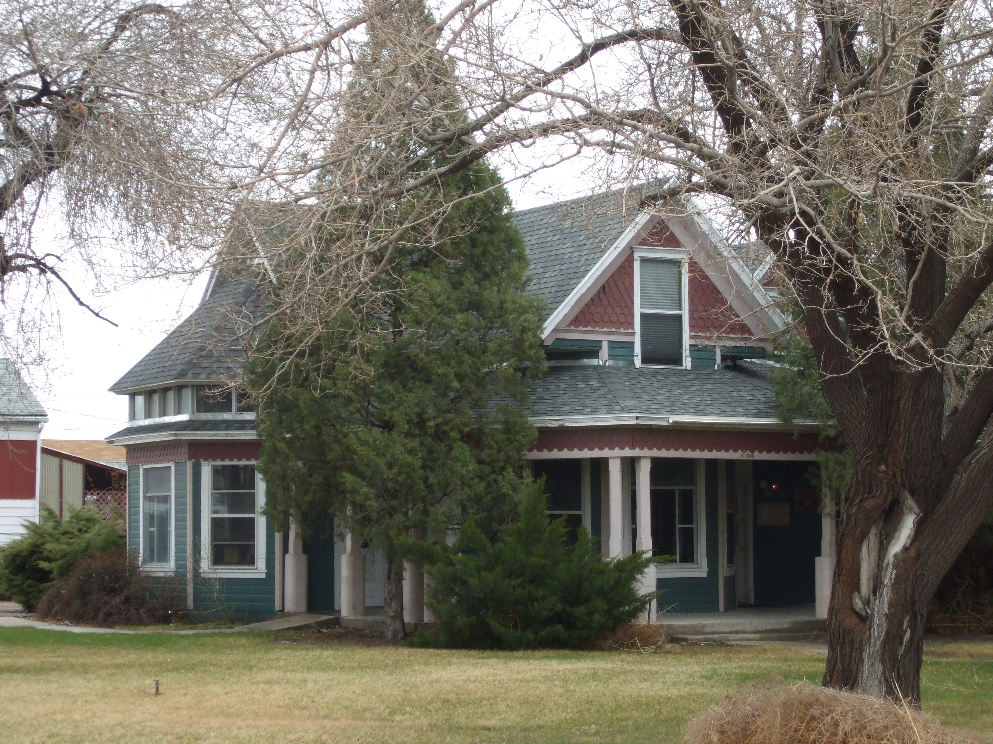
April 10, 1986 187 N. 100 East
39°36′08″N 110°48′31″W / 39.602222°N 110.808611°WPrice 45 Camillo Manina House May 20, 1999 Approximately 1756 W. 4000 North
39°39′34″N 110°50′52″W / 39.659444°N 110.847778°WSpring Glen 46 Martin Millarich Hall 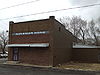
October 31, 1980 Main St.
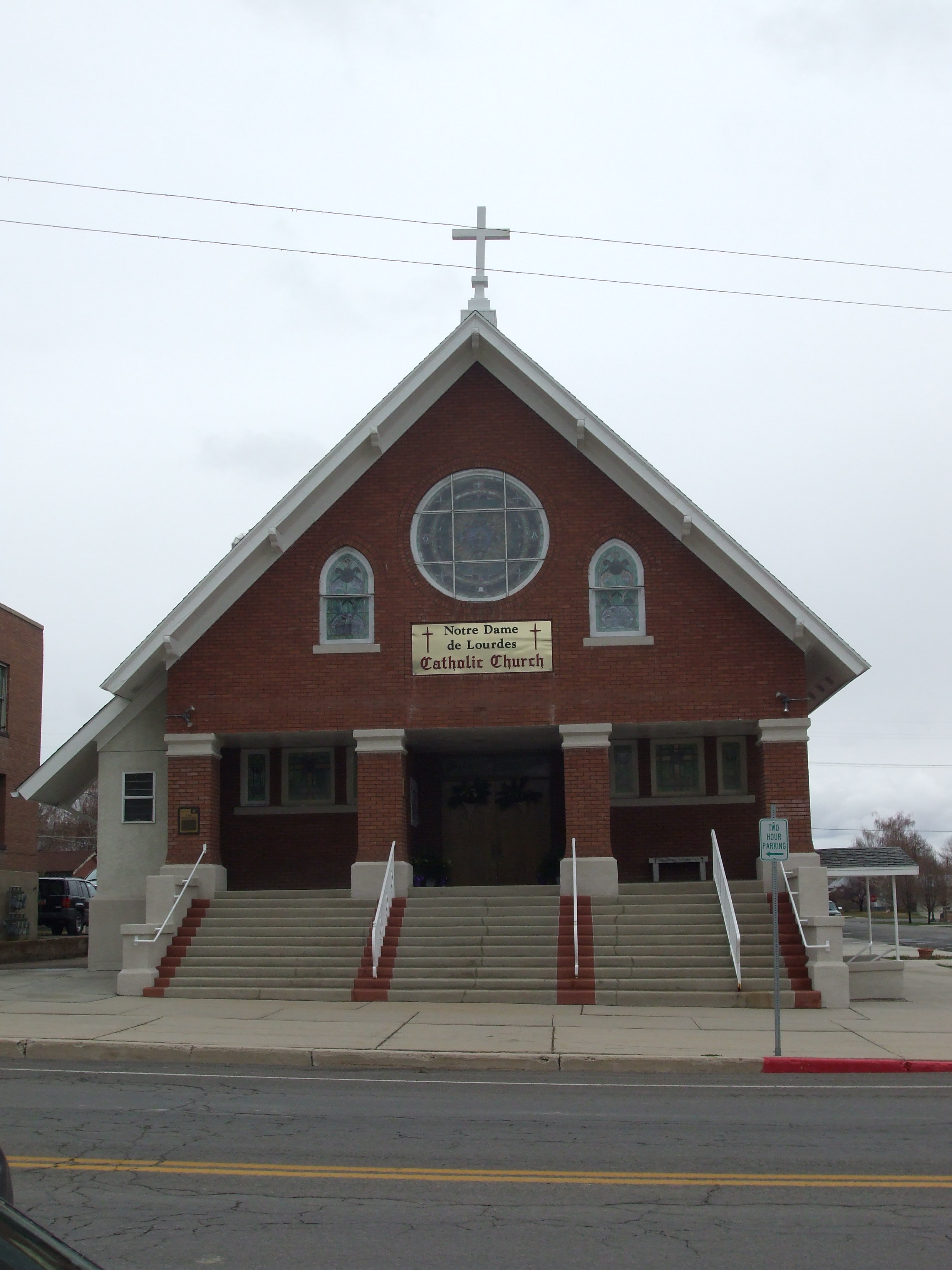
39°39′48″N 110°51′12″W / 39.663333°N 110.853333°WSpring Glen 47 Notre Dame de Lourdes Catholic Church 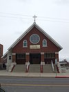
January 9, 1978 200 N. Carbon Ave.
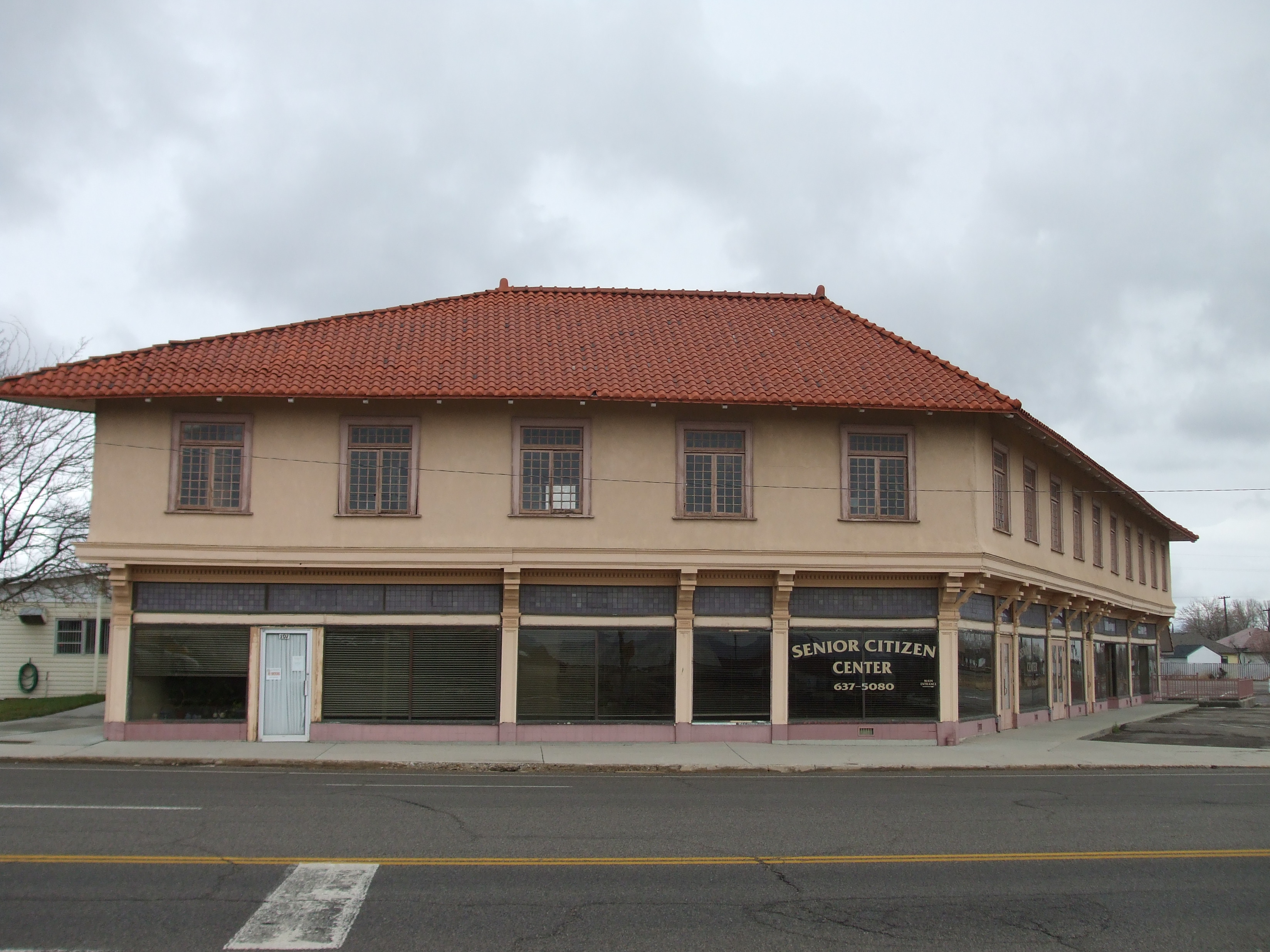
39°36′10″N 110°48′37″W / 39.602778°N 110.810278°WPrice 48 Parker and Weeter Block 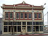
March 9, 1982 85 W. Main St.
39°35′58″N 110°48′44″W / 39.599444°N 110.812222°WPrice 49 Price Main Street 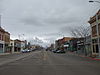
May 2, 2008 100 West to approximately 215 E. Main St.
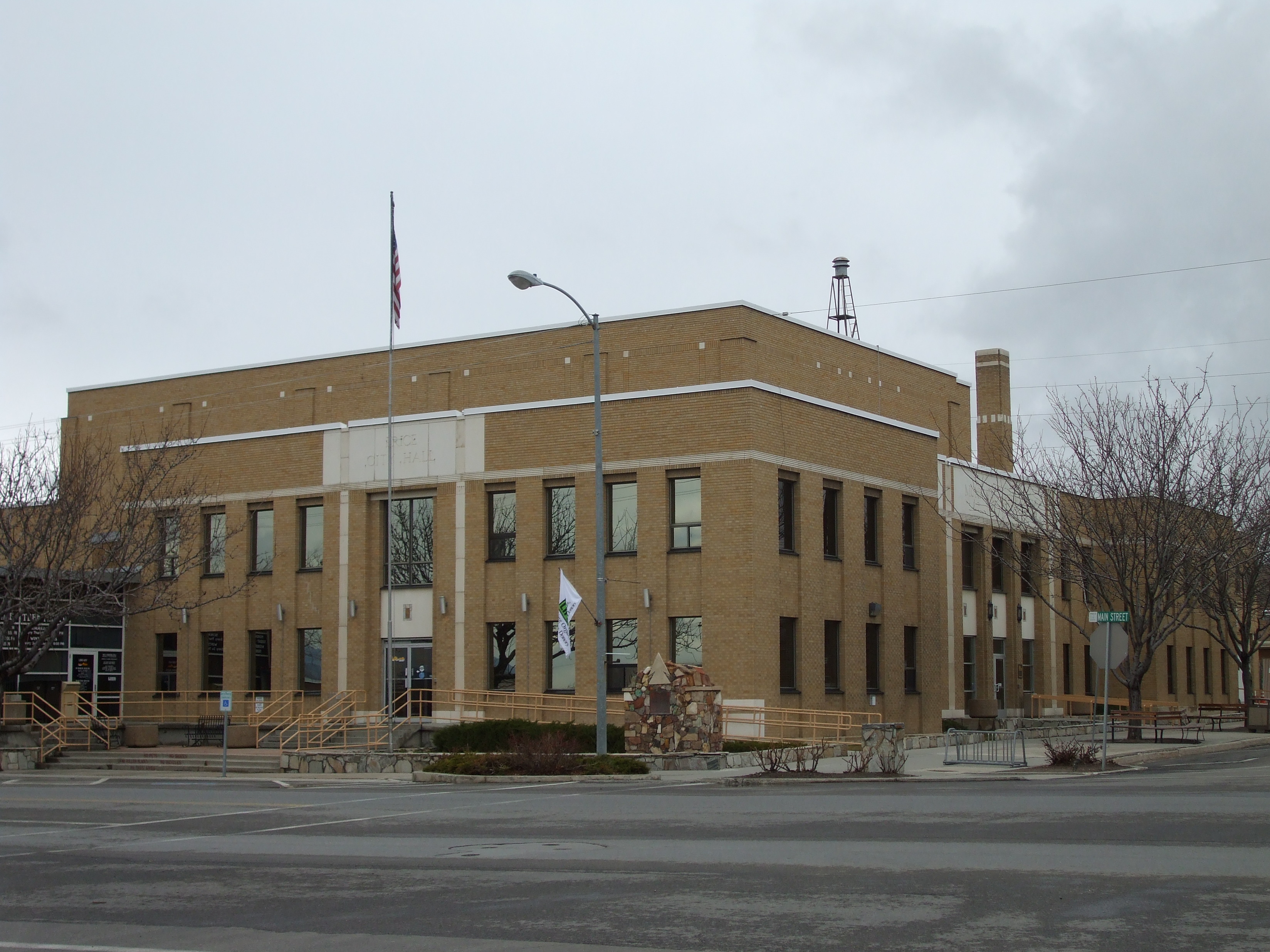
39°35′58″N 110°48′40″W / 39.5995°N 110.81124°WPrice 50 Price Municipal Building 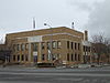
February 17, 1978 200 East and Main St.
39°36′00″N 110°48′26″W / 39.6°N 110.807222°WPrice 51 Price Tavern/Braffet Block 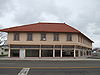
August 11, 1978 E. 100 South and Carbon Ave.
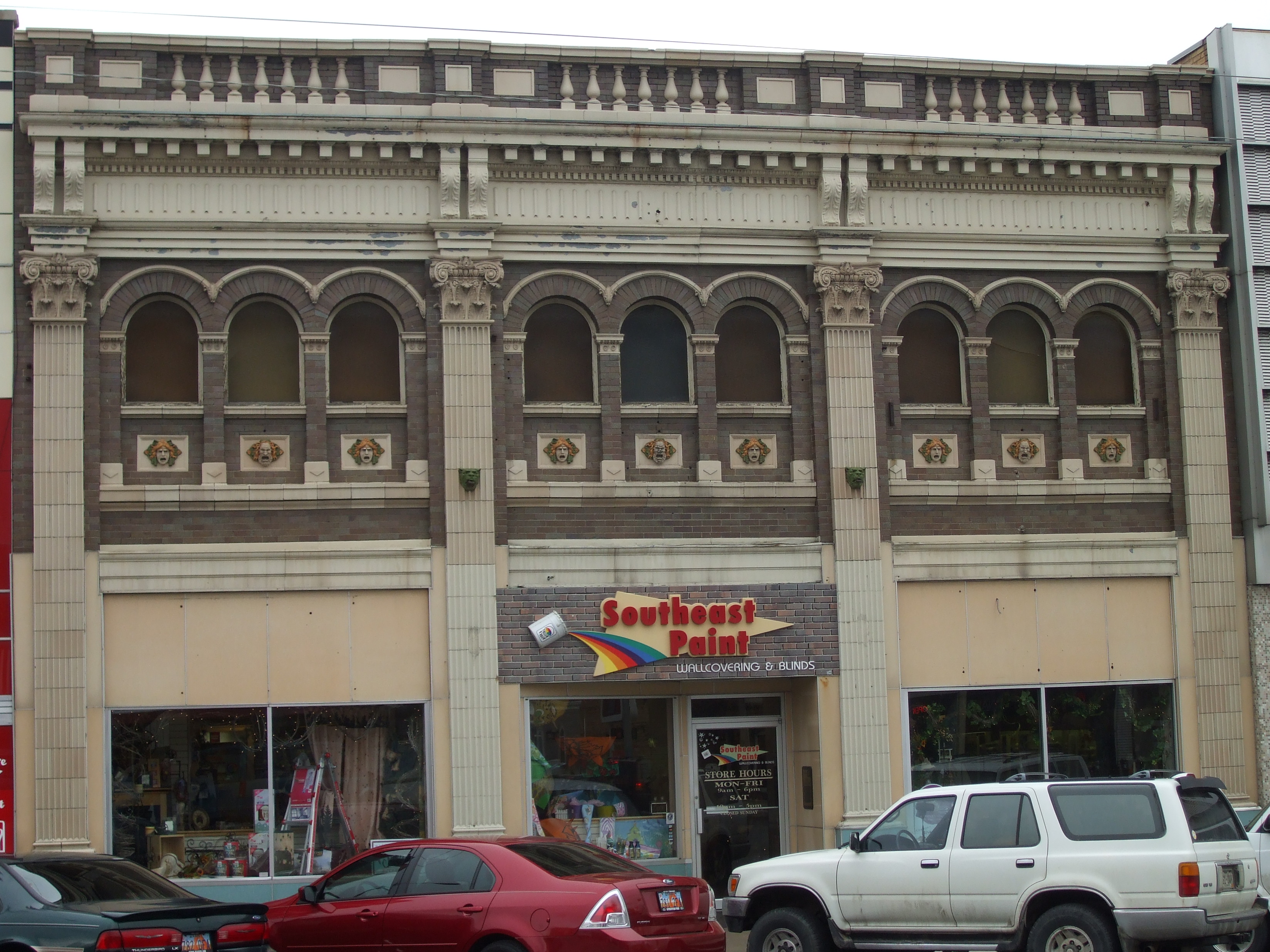
39°35′52″N 110°48′36″W / 39.597778°N 110.81°WPrice 52 Star Theatre 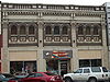
August 9, 1982 20 E. Main St.
39°35′59″N 110°48′34″W / 39.599722°N 110.809444°WPrice 53 Topolovec Farmstead August 9, 1982 Main St.
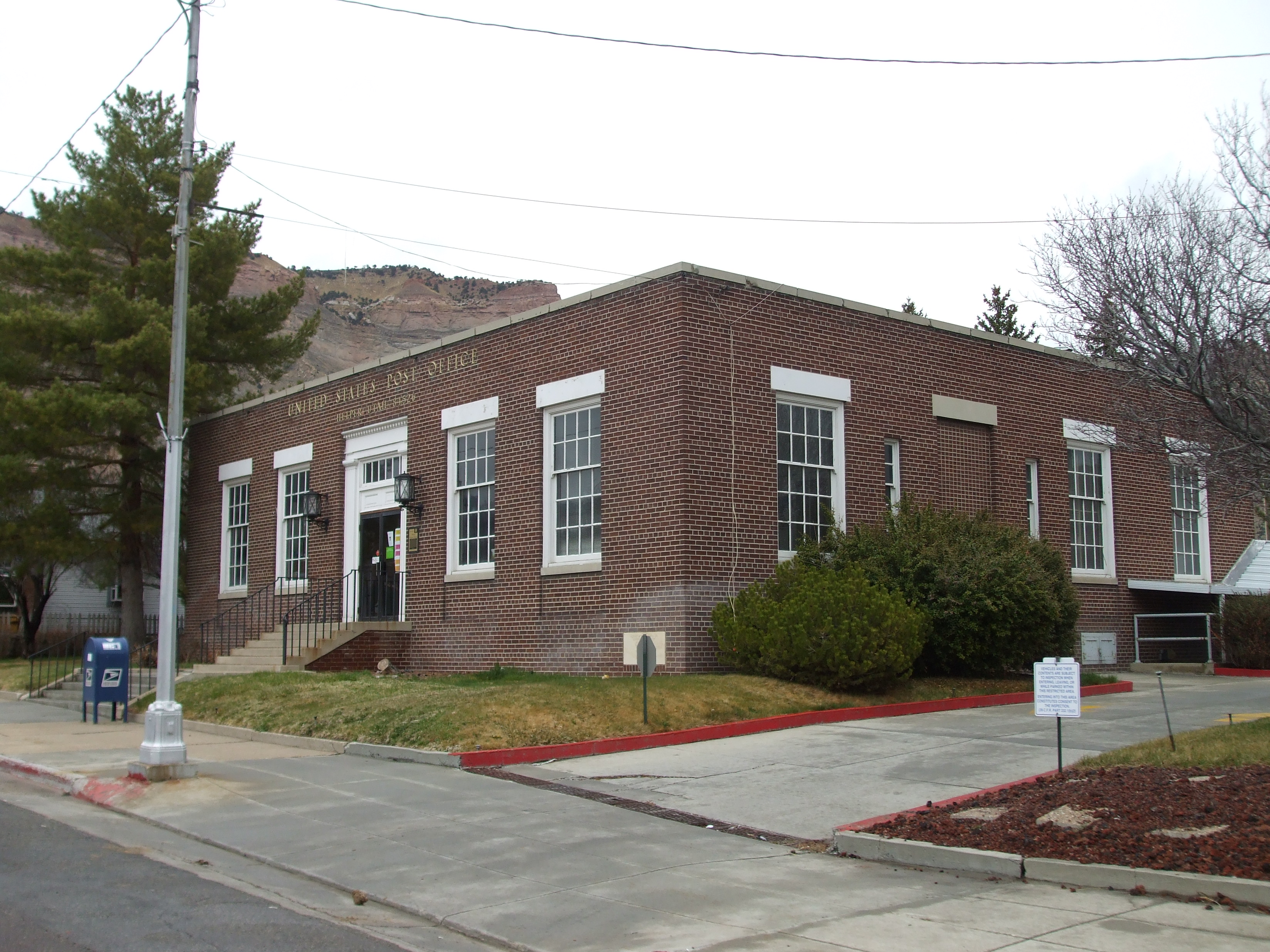
39°39′27″N 110°51′09″W / 39.6575°N 110.8525°WSpring Glen 54 US Post Office-Helper Main 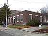
November 27, 1989 45 S. Main
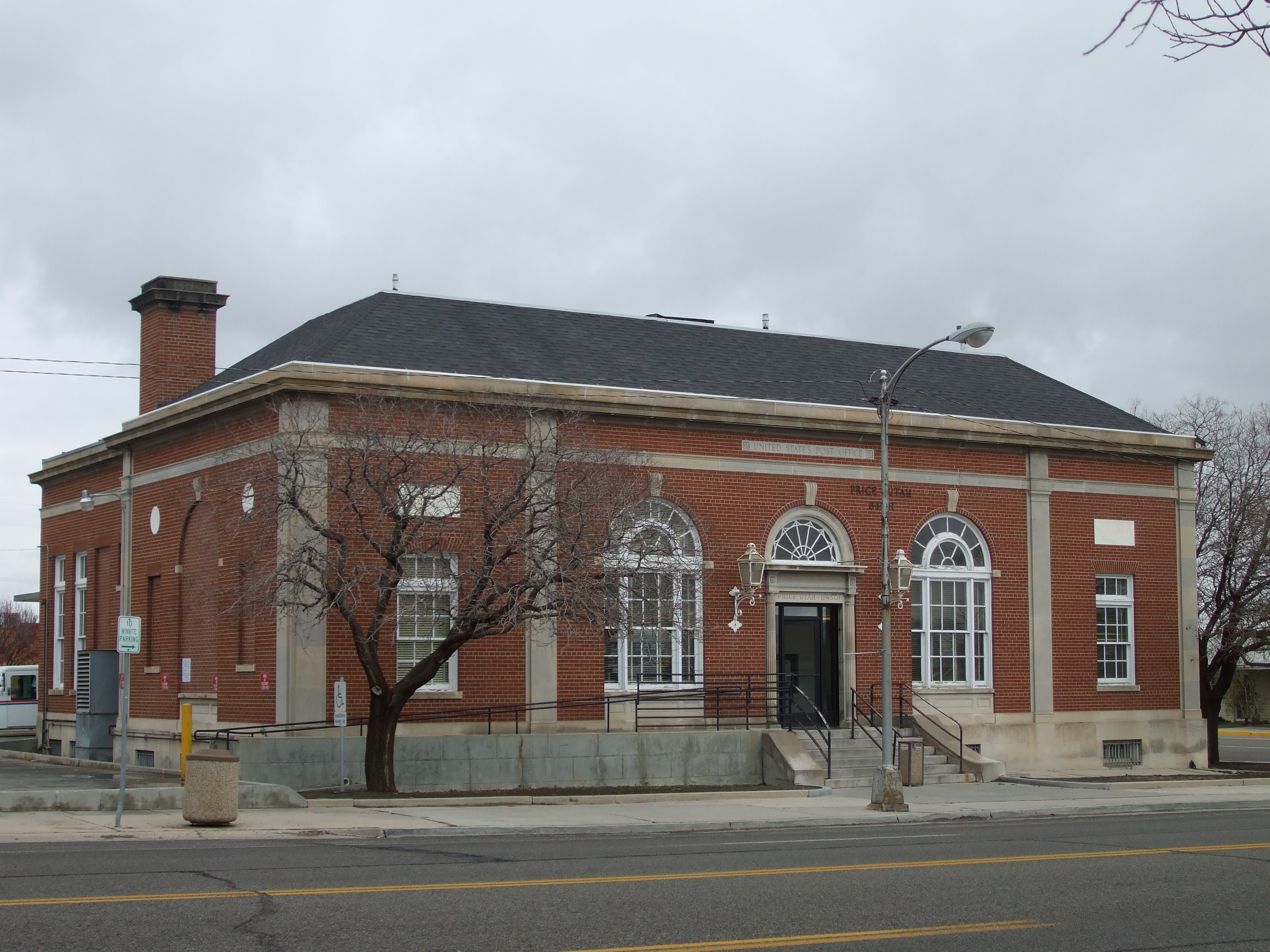
39°41′12″N 110°51′13″W / 39.686667°N 110.853611°WHelper 55 US Post Office-Price Main 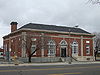
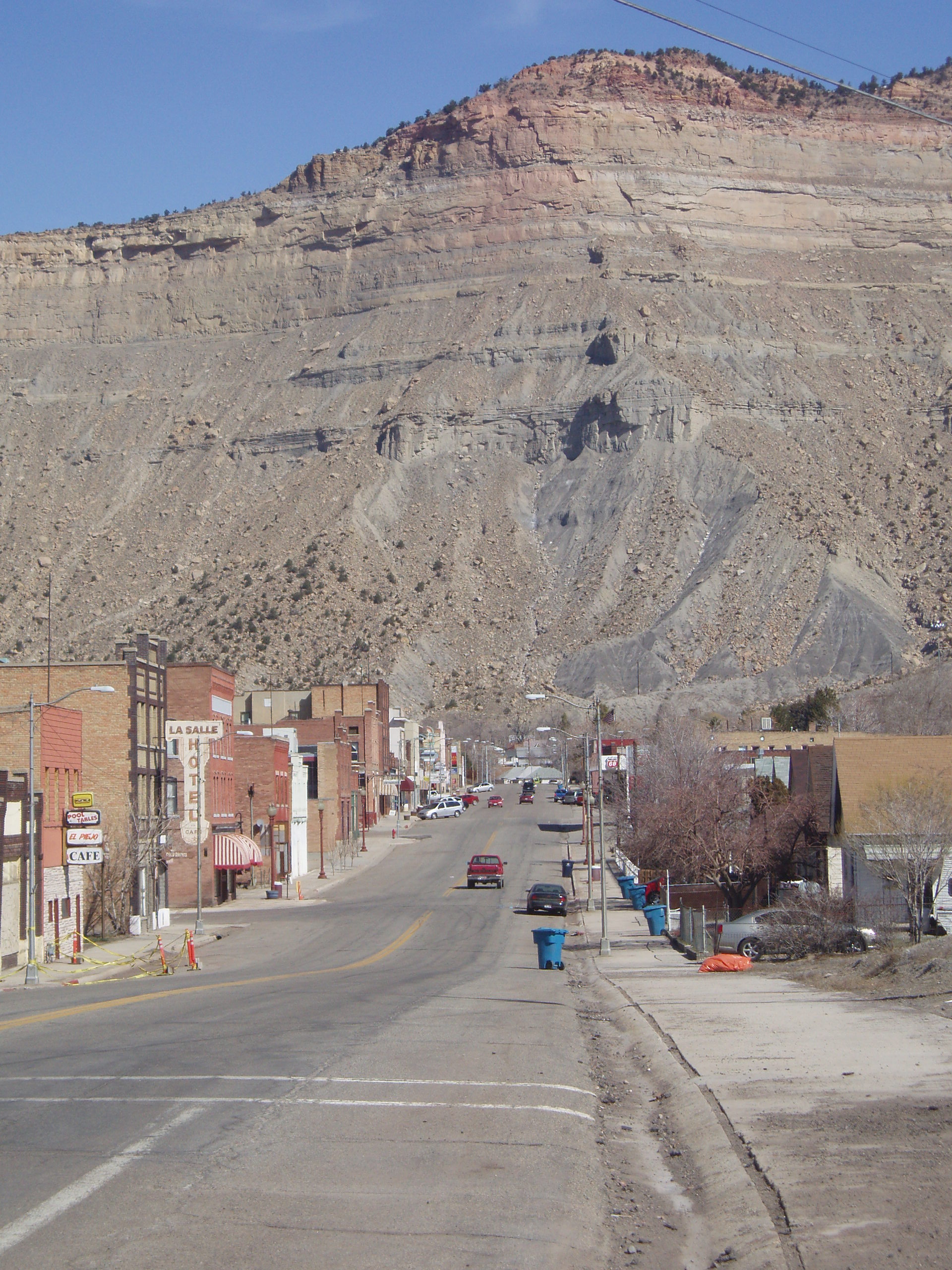
November 27, 1989 95 S. Carbon Ave.
39°35′54″N 110°48′37″W / 39.598333°N 110.810278°WPrice 56 Verde Homestead 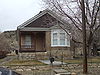
February 14, 2007 233 S. 200 East
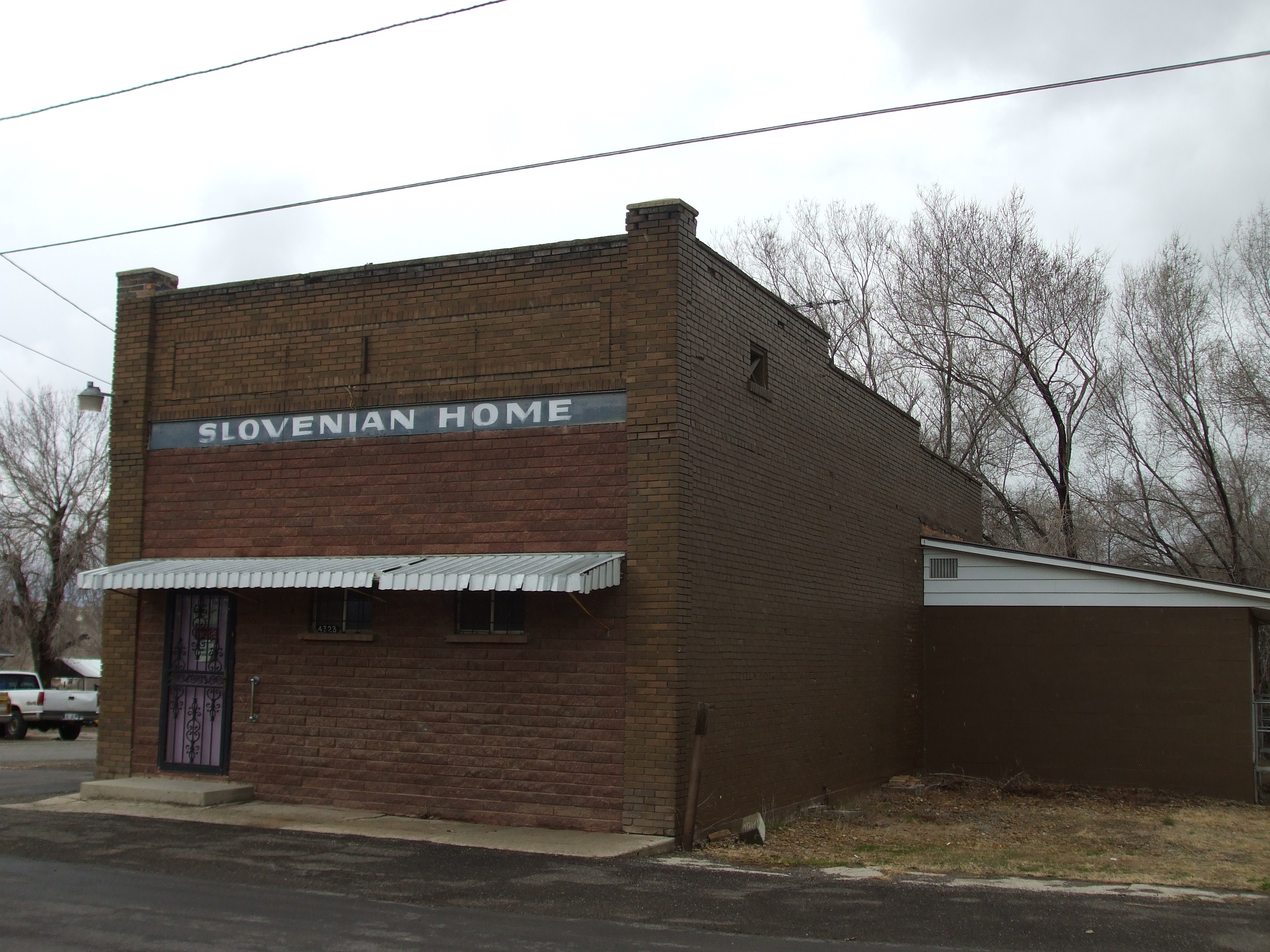
39°41′05″N 110°51′02″W / 39.684722°N 110.850556°WHelper See also
References
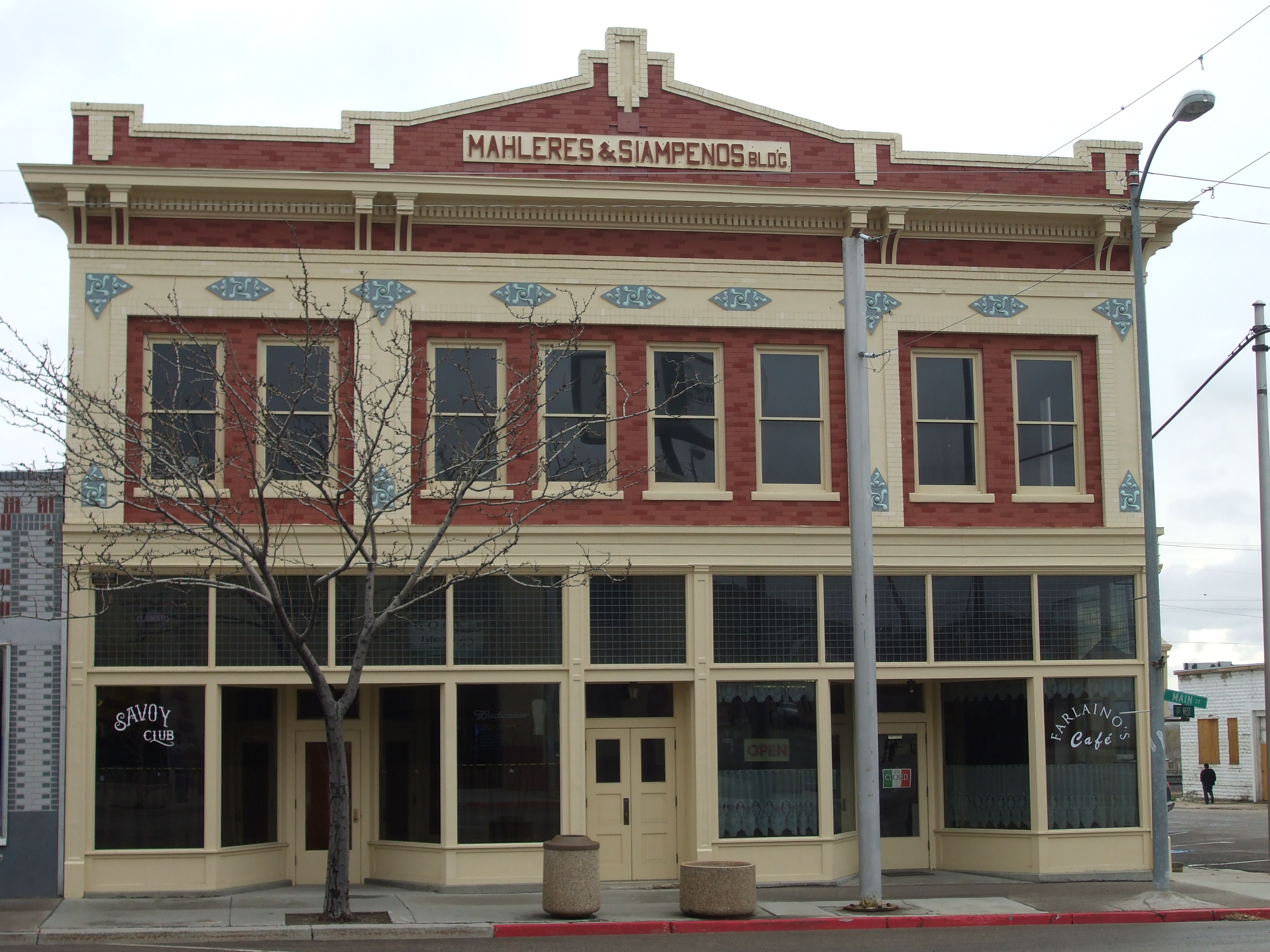
- ^ The latitude and longitude information provided in this table was derived originally from the National Register Information System, which has been found to be fairly accurate for about 99% of listings. For about 1% of NRIS original coordinates, experience has shown that one or both coordinates are typos or otherwise extremely far off; some corrections may have been made. A more subtle problem causes many locations to be off by up to 150 yards, depending on location in the country: most NRIS coordinates were derived from tracing out latitude and longitudes off of USGS topographical quadrant maps created under the North American Datum of 1927, which differs from the current, highly accurate WGS84 GPS system used by Google maps. Chicago is about right, but NRIS longitudes in Washington are higher by about 4.5 seconds, and are lower by about 2.0 seconds in Maine. Latitudes differ by about 1.0 second in Florida. Some locations in this table may have been corrected to current GPS standards.
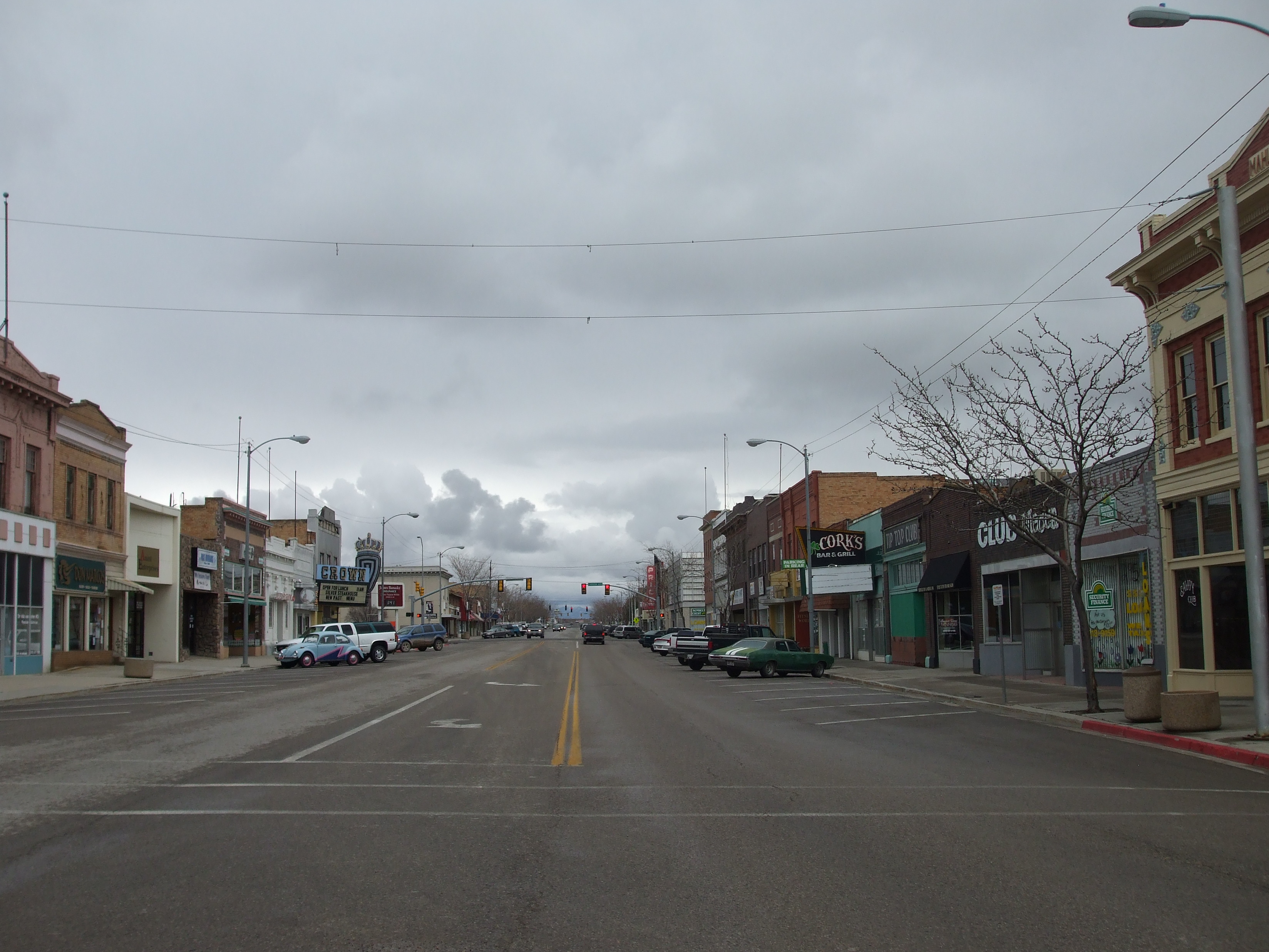
- ^ "National Register of Historic Places: Weekly List Actions". National Park Service, United States Department of the Interior. Retrieved on November 10, 2011.
- ^ Numbers represent an ordering by significant words. Various colorings, defined here, differentiate National Historic Landmark sites and National Register of Historic Places Districts from other NRHP buildings, structures, sites or objects.
- ^ "National Register Information System". National Register of Historic Places. National Park Service. . http://nrhp.focus.nps.gov/natreg/docs/All_Data.html.
- ^ Location and coordinates derived from its GNIS entry; the NRIS lists the site as "Address unknown"
External links
 Media related to National Register of Historic Places in Carbon County, Utah at Wikimedia Commons
Properties on the National Register of Historic Places in Utah 

U.S. National Register of Historic Places Topics Lists by states Alabama • Alaska • Arizona • Arkansas • California • Colorado • Connecticut • Delaware • Florida • Georgia • Hawaii • Idaho • Illinois • Indiana • Iowa • Kansas • Kentucky • Louisiana • Maine • Maryland • Massachusetts • Michigan • Minnesota • Mississippi • Missouri • Montana • Nebraska • Nevada • New Hampshire • New Jersey • New Mexico • New York • North Carolina • North Dakota • Ohio • Oklahoma • Oregon • Pennsylvania • Rhode Island • South Carolina • South Dakota • Tennessee • Texas • Utah • Vermont • Virginia • Washington • West Virginia • Wisconsin • WyomingLists by territories Lists by associated states Other Municipalities and communities of Carbon County, Utah Cities East Carbon | Helper | Price | Sunnyside | Wellington
Town CDPs Indian
reservationGhost towns Categories:- National Register of Historic Places in Utah by county
- Carbon County, Utah
-


Wikimedia Foundation. 2010.