- National Register of Historic Places listings in Cache County, Utah
-
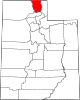
 Location of Cache County in Utah
This is a list of the National Register of Historic Places listings in Cache County, Utah.
This is intended to be a complete list of the properties and districts on the National Register of Historic Places in Cache County, Utah, United States. Latitude and longitude coordinates are provided for many National Register properties and districts; these locations may be seen together in a Google map.[1]
There are 76 properties and districts listed on the National Register in the county.
-
- This National Park Service list is complete through NPS recent listings posted November 10, 2011.[2]
Contents
Current listings
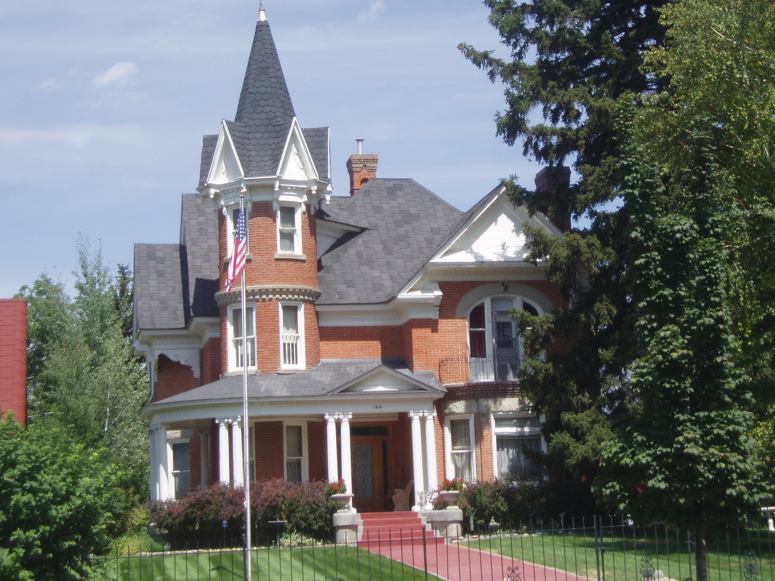
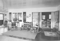
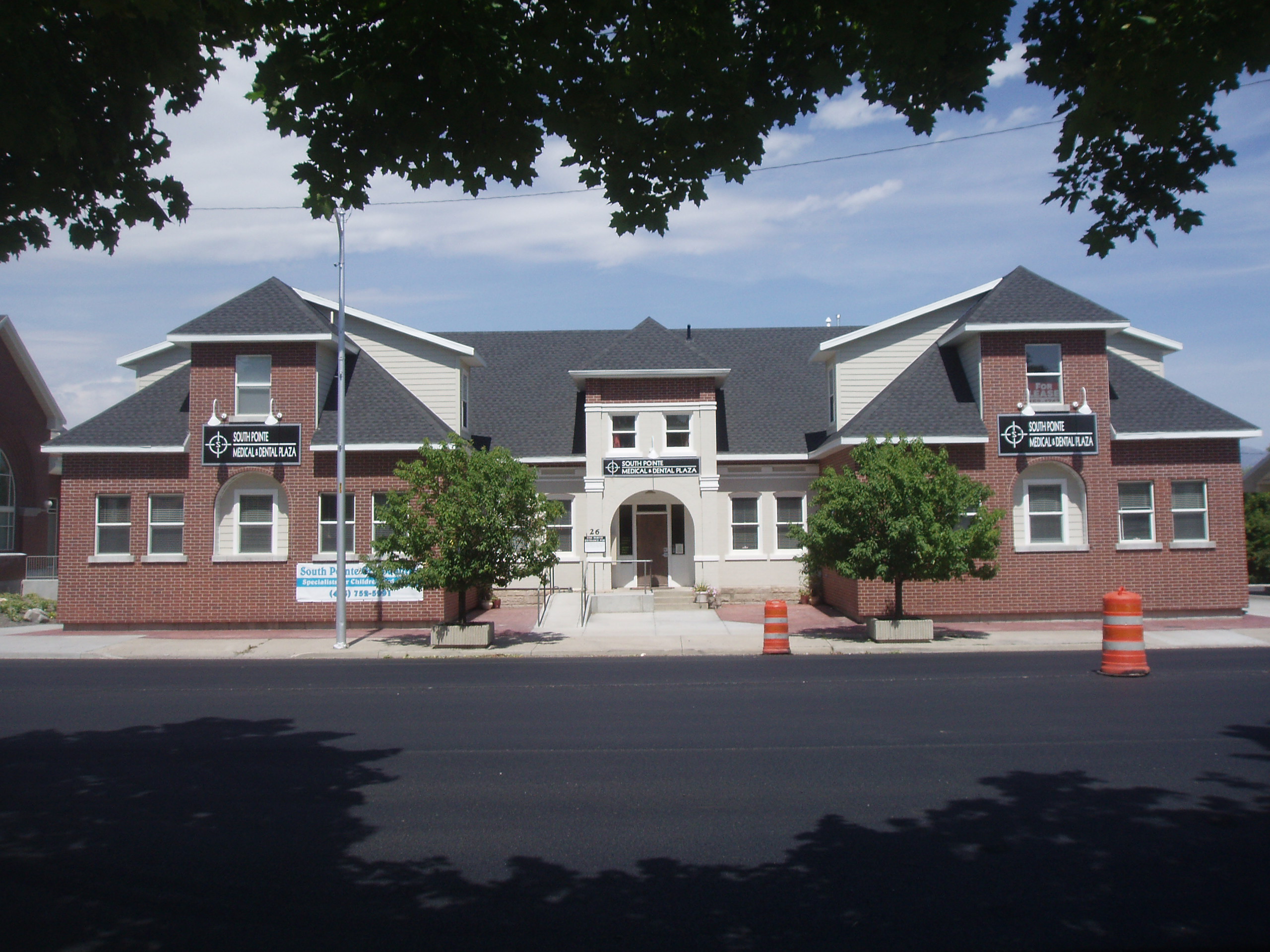
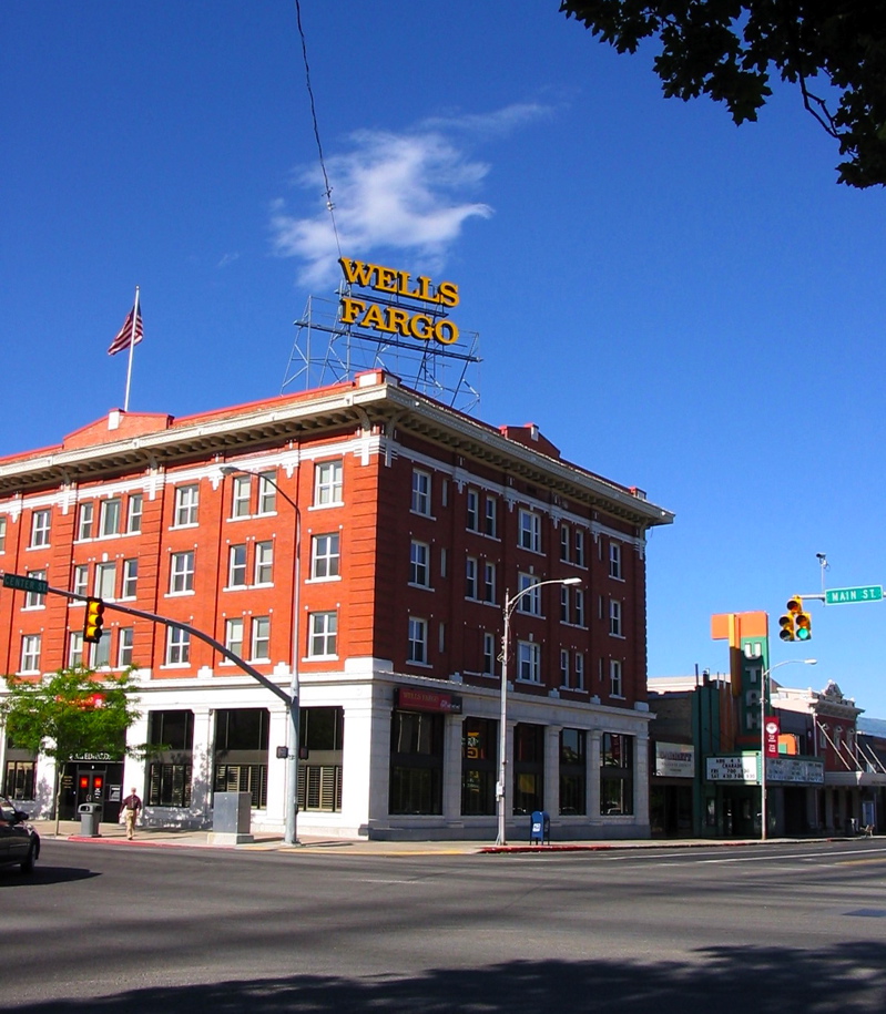
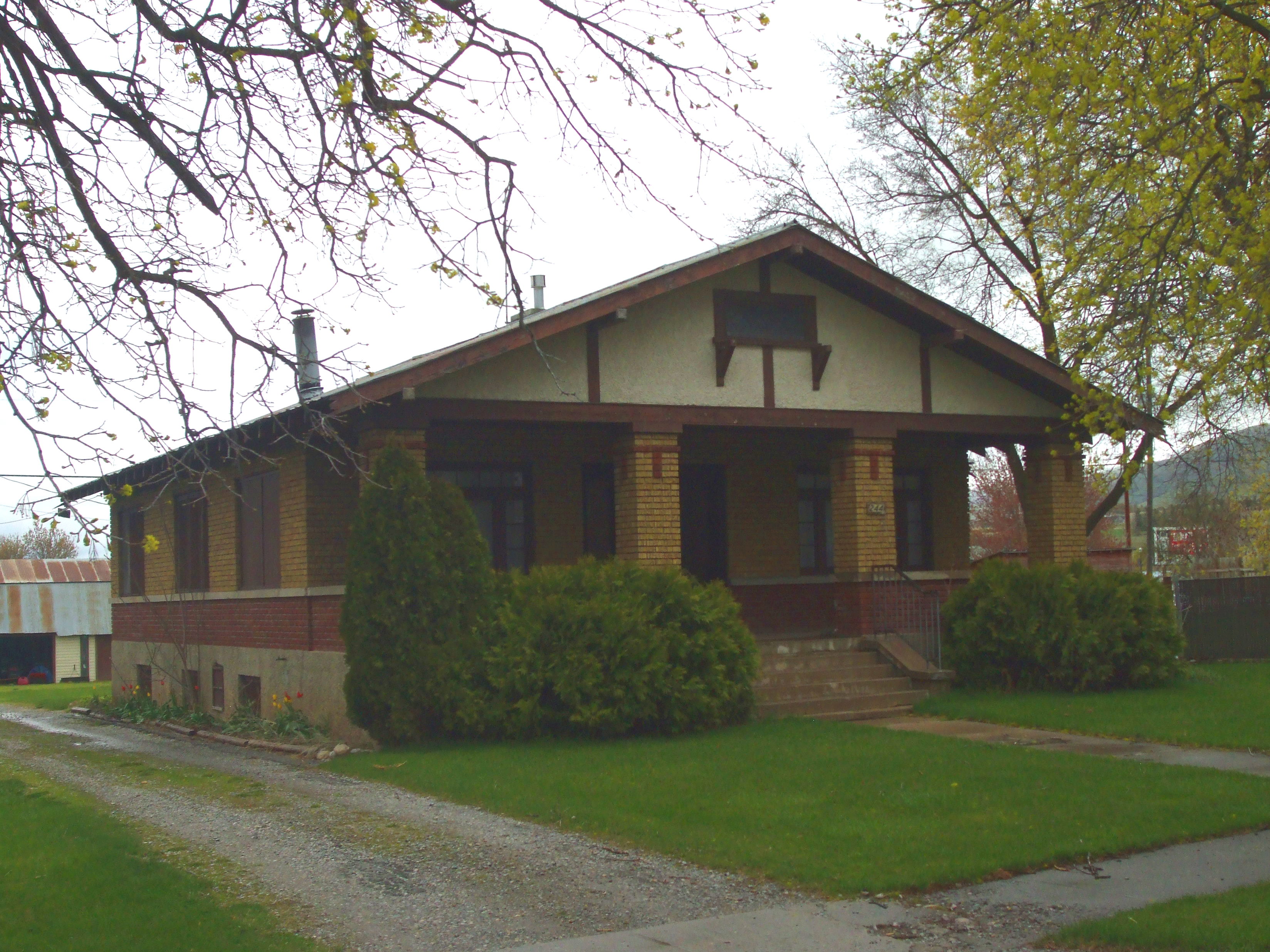
[3] Landmark name [4] Image Date listed Location City or town Summary 1 George Washington Baker House February 10, 1983 115 N. 100 West
41°42′37″N 111°58′44″W / 41.710278°N 111.978889°WMendon 2 Samuel Baker House March 31, 1983 150 W. 200 North
41°42′46″N 111°58′47″W / 41.712778°N 111.979722°WMendon 3 Heber K. and Rachel H. Bankhead House March 21, 1997 185 E. 800 South
41°37′22″N 111°55′46″W / 41.622778°N 111.929444°WWellsville 4 William & Elizabeth Barrett Farmstead February 19, 2008 20 S. 100 West
41°42′27″N 111°58′42″W / 41.7075°N 111.978333°WMendon 5 Bell-Johnson House October 8, 2004 12 N. 200 East
41°55′30″N 111°48′05″W / 41.925°N 111.801389°WRichmond 6 Benson Elementary School April 1, 1985 3440 N. 3000 West
41°47′45″N 111°54′17″W / 41.795833°N 111.904722°WBenson 7 George Bradshaw House and Joshua Salisbury/George Bradshaw Barn November 19, 1982 73 S. Center St.
41°38′16″N 111°56′05″W / 41.637778°N 111.934722°WWellsville 8 James and Amy Burnham Farmstead October 8, 2004 533 S. State St.
41°54′46″N 111°48′27″W / 41.912778°N 111.8075°WRichmond 9 Carl F. and Sophia Christensen House October 8, 2004 208 N. 200 East
41°55′38″N 111°48′06″W / 41.927222°N 111.801667°WRichmond 10 Clarkston Tithing Granary January 25, 1985 10212 N. 8700 West
41°55′06″N 112°03′06″W / 41.918333°N 112.051667°WClarkston 11 Crockett House April 27, 2009 82 Crockett Ave.
41°44′04″N 111°48′44″W / 41.73445°N 111.812172°WLogan 12 Douglas General Mercantile 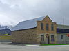
August 4, 1982 100 S. Main St.
41°50′3″N 111°49′54″W / 41.83417°N 111.83167°WSmithfield 13 David Eccles House July 30, 1976 250 W. Center St.
41°43′52″N 111°50′26″W / 41.731111°N 111.840556°WLogan 14 Elite Hall 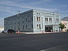
August 4, 2003 98 W. Main St.
41°38′04″N 111°51′25″W / 41.634444°N 111.856944°WHyrum 15 Samuel and Lana Ewing House 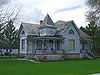
January 28, 1994 107 S. 100 East
41°50′02″N 111°49′46″W / 41.833889°N 111.829444°WSmithfield 16 Forster Hotel February 19, 2008 176 N. 100 West
41°42′40″N 111°58′41″W / 41.711111°N 111.978056°WMendon 17 James Gardner House February 11, 1982 173 N. Main St.
41°42′39″N 111°58′34″W / 41.710833°N 111.976111°WMendon 18 Soren Hanson House 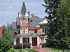
February 11, 1982 166 W. Main St.
41°38′04″N 111°51′33″W / 41.634444°N 111.859167°WHyrum 19 Martin Harris Gravesite 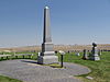
November 28, 1980 North of Clarkston
41°55′53″N 112°02′20″W / 41.931389°N 112.038889°WClarkston 20 Hatch's Camp 
December 27, 2006 8.3 miles east from the mouth of Logan Canyon
41°46′32″N 111°38′57″W / 41.775556°N 111.649167°WCache National Forest 21 Hendricks Confectionery Building 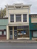
October 8, 2004 19 W. Main St.
41°55′21″N 111°48′31″W / 41.9225°N 111.808611°WRichmond 22 Lafayette and Elizabeth W. Hendricks House October 8, 2004 109 S. State St.
41°55′13″N 111°48′27″W / 41.920278°N 111.8075°WRichmond 23 William S. and Margaret R. Hendricks House 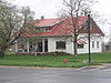
October 8, 2004 112 W. Main St.
41°55′23″N 111°48′40″W / 41.923056°N 111.811111°WRichmond 24 Hobson-Hill House 
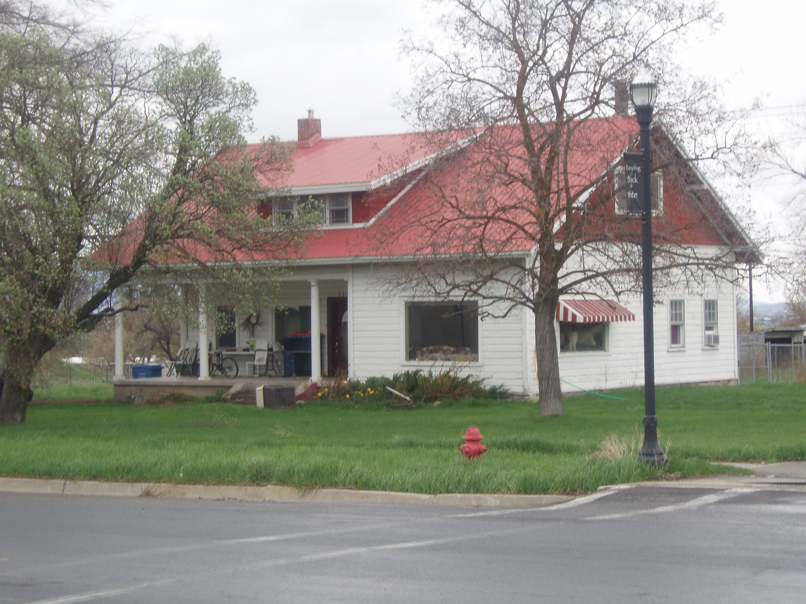
October 8, 2004 108 S. 100 West
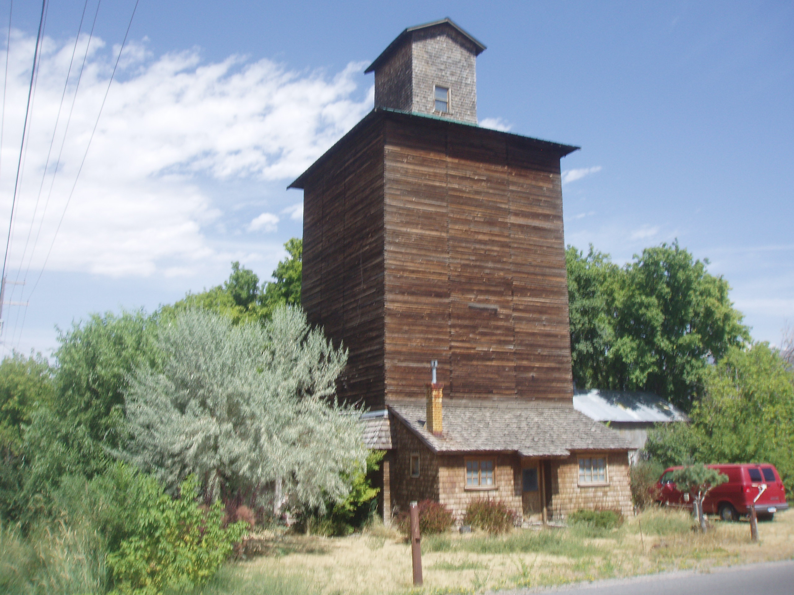
41°55′13″N 111°48′40″W / 41.920278°N 111.811111°WRichmond 25 Holley-Globe Grain and Milling Company Elevator 
October 24, 1985 100 North and Center St.
41°38′11″N 111°51′14″W / 41.636389°N 111.853889°WHyrum 26 Home Economics/Commons Building 
April 1, 1985 Off U.S. Route 89 on the Utah State University campus
41°44′25″N 111°48′40″W / 41.740278°N 111.811111°WLogan 27 Howell-Theurer House October 18, 1979 30 S. 100 East
41°38′16″N 111°55′49″W / 41.637778°N 111.930278°WWellsville 28 Hyrum First Ward Meetinghouse 
February 15, 1980 290 S. Center St.
41°37′41″N 111°51′19″W / 41.628056°N 111.855278°WHyrum 29 Hyrum Stake Tithing Office 
January 25, 1985 26 W. Main St.
41°38′04″N 111°51′18″W / 41.634444°N 111.855°WHyrum 30 John P. and Sarah James House January 28, 1994 210 W. 9000 South
41°34′06″N 111°50′17″W / 41.568333°N 111.838056°WParadise 31 Morgan A. and Clarissa R. Knapp House October 8, 2004 106 S. 100 East
41°55′13″N 111°48′19″W / 41.920278°N 111.805278°WRichmond 32 John E. Lee House February 11, 1982 123 W. Center St.
41°47′58″N 111°49′18″W / 41.799444°N 111.821667°WHyde Park 33 Lewiston Community Building April 1, 1985 29 S. Main St.
41°58′31″N 111°51′20″W / 41.975278°N 111.855556°WLewiston 34 Lewiston Tithing Office and Granary January 25, 1985 87 E. 800 South
41°57′42″N 111°51′14″W / 41.961667°N 111.853889°WLewiston 35 Logan Center Street Historic District 
April 26, 1979 Roughly bounded by 200 North, 200 South, 200 East, and 600 West
41°43′56″N 111°50′18″W / 41.732222°N 111.838333°WLogan 36 Logan Fish Hatchery Caretaker's Residence April 1, 1985 1469 W. 200 North
41°44′10″N 111°52′08″W / 41.736111°N 111.868889°WLogan 37 Logan High School Gymnasium August 7, 1985 162 W. 100 South
41°43′44″N 111°50′16″W / 41.728889°N 111.837778°WLogan 38 Logan LDS Sixth Ward Church July 17, 1979 395 S. Main St.
41°43′27″N 111°50′06″W / 41.724167°N 111.835°WLogan 39 Logan Municipal Slaughterhouse April 1, 1985 265 N. 600 West
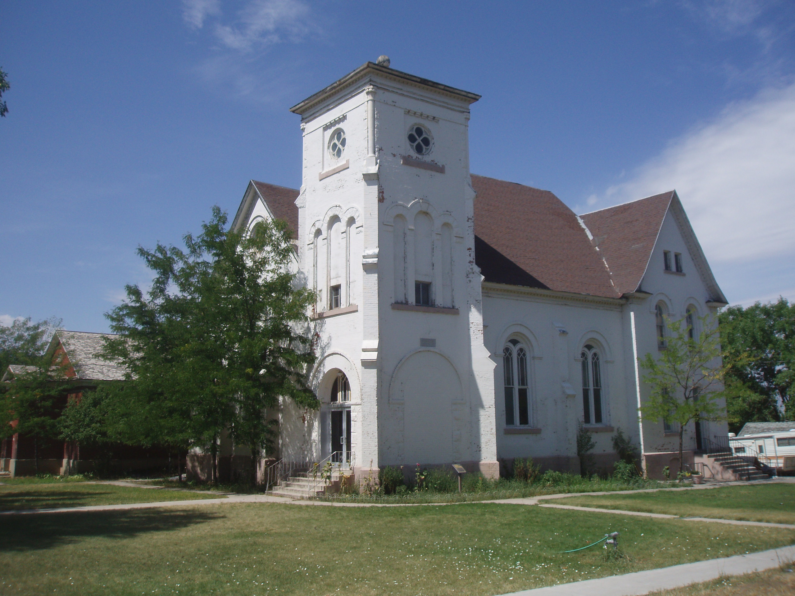
41°44′13″N 111°50′59″W / 41.736944°N 111.849722°WLogan 40 Logan Tabernacle 
October 10, 1975 Bounded by Center, 1st North, Main, and 1st East Sts.
41°43′56″N 111°50′00″W / 41.732222°N 111.833333°WLogan 41 Logan Temple 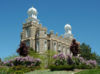
November 20, 1975 Between 2nd and 3rd East and 1st and 2nd North
41°44′03″N 111°49′38″W / 41.734167°N 111.827222°WLogan 42 Logan Temple Barn 
December 19, 1985 368 E. 200 North
41°44′06″N 111°49′27″W / 41.735°N 111.824167°WLogan 43 McMurdie-White Farmstead September 28, 2005 395 W. 9000 South
41°34′10″N 111°50′47″W / 41.569444°N 111.846389°WParadise 44 Mendon Station February 19, 2008 95 N. Main St.
41°42′34″N 111°58′34″W / 41.709444°N 111.976111°WMendon 45 Louis Edgar and Clara H. Merrill House 
October 8, 2004 244 W. Main St.
41°55′23″N 111°48′53″W / 41.923056°N 111.814722°WRichmond 46 Samuel Crowthers Mitton House November 19, 1982 242 E. Main St.
41°38′18″N 111°55′36″W / 41.638333°N 111.926667°WWellsville 47 Hattie Merrill Morrison Farmstead October 8, 2004 1367 S. State St.
41°53′48″N 111°48′34″W / 41.896667°N 111.809444°WRichmond 48 Muir House April 4, 2008 145 S. Main St.
41°42′17″N 111°58′36″W / 41.70482°N 111.9766°WMendon 49 Newton Reservoir November 30, 1973 3 miles north of Newton
41°54′36″N 112°00′18″W / 41.91°N 112.005°WNewton 50 Old Main, Utah State University 
February 23, 1972 Utah State University campus
41°44′27″N 111°48′47″W / 41.740833°N 111.813056°WLogan 51 Erick Lehi and Ingrid Larsen Olson House March 8, 1997 490 E. 600 South
41°43′18″N 111°49′19″W / 41.721667°N 111.821944°WRiver Heights 52 Paradise Tithing Office January 25, 1985 8970 S. 200 West
41°34′09″N 111°50′14″W / 41.569167°N 111.837222°WParadise 53 Plant Auto Company Building 
October 8, 2004 38 S. 200 West (State Route 91)
41°55′20″N 111°48′51″W / 41.922222°N 111.814167°WRichmond No longer standing, this one-part Victorian Eclectic commercial block was built in 1916 and housed the first automobile repair shop in Richmond 54 Martin and Martha Pond Farmstead November 17, 1997 320 S. 800 West
41°58′13″N 111°52′11″W / 41.970278°N 111.869722°WLewiston 55 Providence Historic District November 9, 2007 Roughly bounded by 200 N., 400 E., 500 S., and 200 W. Providence 56 Providence LDS Chapel and Meetinghouse February 11, 1982 20 S. Main St.
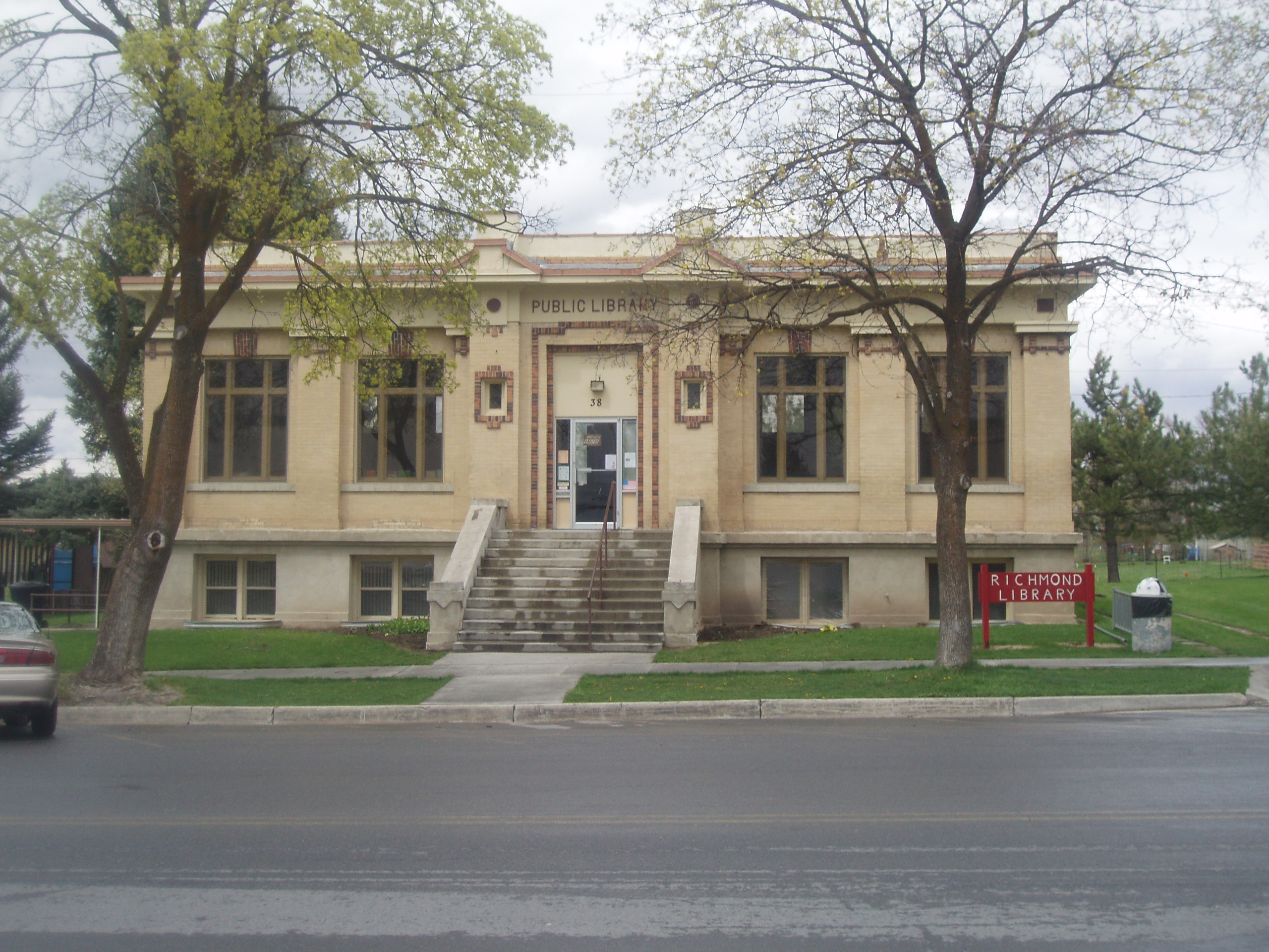
41°42′28″N 111°49′00″W / 41.707778°N 111.816667°WProvidence 57 Richmond Carnegie Library 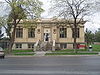
October 25, 1984 38 W. Main St.
41°55′23″N 111°48′32″W / 41.923056°N 111.808889°WRichmond 58 Richmond City Grandstand & Baseball Field 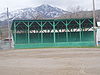
April 29, 2005 Approximately 50 S. State St.
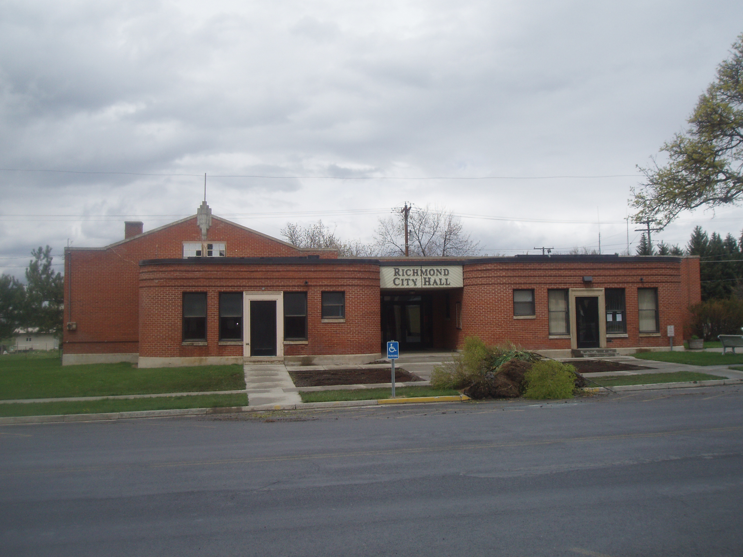
41°55′17″N 111°48′34″W / 41.921389°N 111.809444°WRichmond 59 Richmond Community Building 
April 9, 1986 6 W. Main St.
41°55′23″N 111°48′30″W / 41.923056°N 111.808333°WRichmond 60 Richmond Interurban Depot 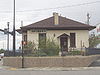
May 16, 2002 196 W. Main St.
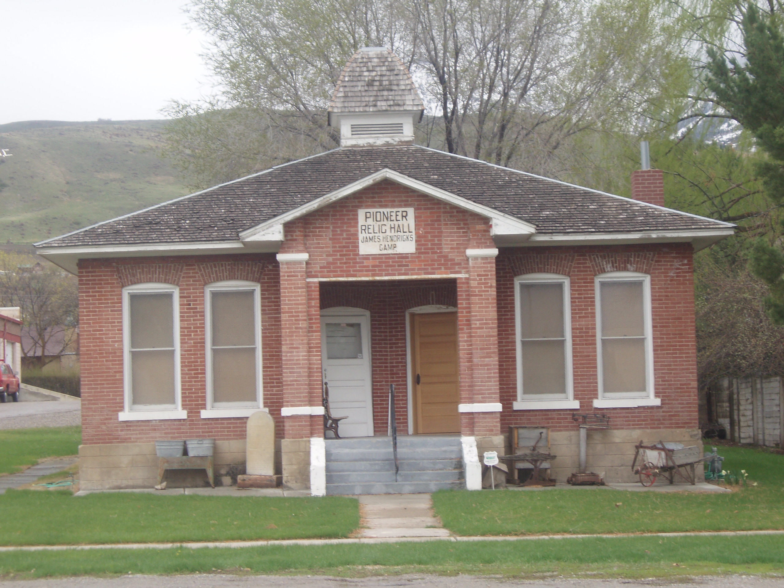
41°54′51″N 111°48′48″W / 41.914167°N 111.813333°WRichmond 61 Richmond Relief Society Hall 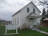
June 7, 1996 15 E. Main St.
41°55′31″N 111°48′27″W / 41.925278°N 111.8075°WRichmond 62 Richmond Tithing Office 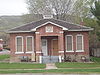
January 25, 1985 31 S. State St.
41°55′20″N 111°48′27″W / 41.922222°N 111.8075°WRichmond 63 Zial Riggs House February 11, 1982 94 S. 100 East
41°38′13″N 111°55′49″W / 41.636944°N 111.930278°WWellsville 64 Sigma Chi Fraternity House September 15, 2005 705 N. 800 East
41°44′55″N 111°48′50″W / 41.748611°N 111.813889°WLogan 65 William McNeil Smith House February 11, 1982 116 S. 100 East
41°43′44″N 111°49′53″W / 41.728889°N 111.831389°WLogan 66 Smithfield Public Library 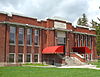
February 17, 1981 25 N. Main St.
41°50′14″N 111°49′13″W / 41.837222°N 111.820278°WSmithfield 67 Smithfield Tithing Office January 25, 1985 35 W. Center St.
41°50′13″N 111°49′58″W / 41.836944°N 111.832778°WSmithfield 68 Tony Grove Ranger Station Historic District April 13, 1992 U.S. Route 89, 23 miles northeast of Logan in the Wasatch-Cache National Forest
41°53′08″N 111°33′59″W / 41.885556°N 111.566389°WLogan 69 S. Milton and Alba C. Webb House October 8, 2004 143 S. State St.
41°55′11″N 111°48′27″W / 41.919722°N 111.8075°WRichmond 70 Wellsville Relief Society Meeting House February 13, 1989 67 S. Center St.
41°38′17″N 111°56′02″W / 41.638056°N 111.933889°WWellsville 71 Wellsville Tabernacle 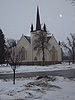
November 26, 1980 75 S. 100 East
41°38′15″N 111°55′55″W / 41.6375°N 111.931944°WWellsville 72 James F. & Mary Jane Whitney House February 19, 2008 195 W. 100 North
41°42′38″N 111°58′51″W / 41.710556°N 111.980833°WMendon 73 Whittier School September 8, 2000 280 N. 400 East
41°44′12″N 111°49′24″W / 41.736667°N 111.823333°WLogan 74 James G. Willie House April 13, 1983 97 N. 100 West
41°42′35″N 111°58′44″W / 41.709722°N 111.978889°WMendon 75 Women's Residence Hall 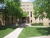
April 9, 1986 Utah State University
41°44′27″N 111°48′31″W / 41.740833°N 111.808611°WLogan 76 Ferdinand Zollinger, Jr. House July 16, 1992 193 N. 100 East
41°42′42″N 111°48′53″W / 41.711667°N 111.814722°WProvidence Former listing
[3] Landmark name Image Date listed Location City or town Summary 1 Mendon Elementary School February 1, 1995 Off State Route 23
41°42′29″N 111°58′34″W / 41.70806°N 111.97611°WMendon Originally listed April 1, 1985; removed February 1, 1995[5] See also
References
- ^ The latitude and longitude information provided in this table was derived originally from the National Register Information System, which has been found to be fairly accurate for about 99% of listings. For about 1% of NRIS original coordinates, experience has shown that one or both coordinates are typos or otherwise extremely far off; some corrections may have been made. A more subtle problem causes many locations to be off by up to 150 yards, depending on location in the country: most NRIS coordinates were derived from tracing out latitude and longitudes off of USGS topographical quadrant maps created under North American Datum of 1927, which differs from the current, highly accurate GPS system used by Google maps. Chicago is about right, but NRIS longitudes in Washington are higher by about 4.5 seconds, and are lower by about 2.0 seconds in Maine. Latitudes differ by about 1.0 second in Florida. Some locations in this table may have been corrected to current GPS standards.
- ^ "National Register of Historic Places: Weekly List Actions". National Park Service, United States Department of the Interior. Retrieved on November 10, 2011.
- ^ a b Numbers represent an ordering by significant words. Various colorings, defined here, differentiate National Historic Landmark sites and National Register of Historic Places Districts from other NRHP buildings, structures, sites or objects.
- ^ "National Register Information System". National Register of Historic Places. National Park Service. . http://nrhp.focus.nps.gov/natreg/docs/All_Data.html.
- ^ "National Register of Historic Places Weekly Action Lists: 1995". U.S. National Park Service. http://www.nps.gov/nr/listings/Weekly_Register_List_1995.pdf. Retrieved April 28, 2011.
External links
 Media related to National Register of Historic Places in Cache County, Utah at Wikimedia Commons
Properties on the National Register of Historic Places in Utah 

U.S. National Register of Historic Places Topics Lists by states Alabama • Alaska • Arizona • Arkansas • California • Colorado • Connecticut • Delaware • Florida • Georgia • Hawaii • Idaho • Illinois • Indiana • Iowa • Kansas • Kentucky • Louisiana • Maine • Maryland • Massachusetts • Michigan • Minnesota • Mississippi • Missouri • Montana • Nebraska • Nevada • New Hampshire • New Jersey • New Mexico • New York • North Carolina • North Dakota • Ohio • Oklahoma • Oregon • Pennsylvania • Rhode Island • South Carolina • South Dakota • Tennessee • Texas • Utah • Vermont • Virginia • Washington • West Virginia • Wisconsin • WyomingLists by territories Lists by associated states Other  Category:National Register of Historic Places •
  Portal:National Register of Historic Places
Municipalities and communities of Cache County, Utah County seat: Logan Cities Hyde Park | Hyrum | Lewiston | Logan | Mendon | Millville | Nibley | North Logan | Providence | Richmond | River Heights | Smithfield | Wellsville
Towns CDPs Avon | Benson | Cache Junction | Cove | Petersboro
Ghost town Categories:- National Register of Historic Places in Utah by county
- Cache County, Utah
-


Wikimedia Foundation. 2010.