- Didsbury, Alberta
-
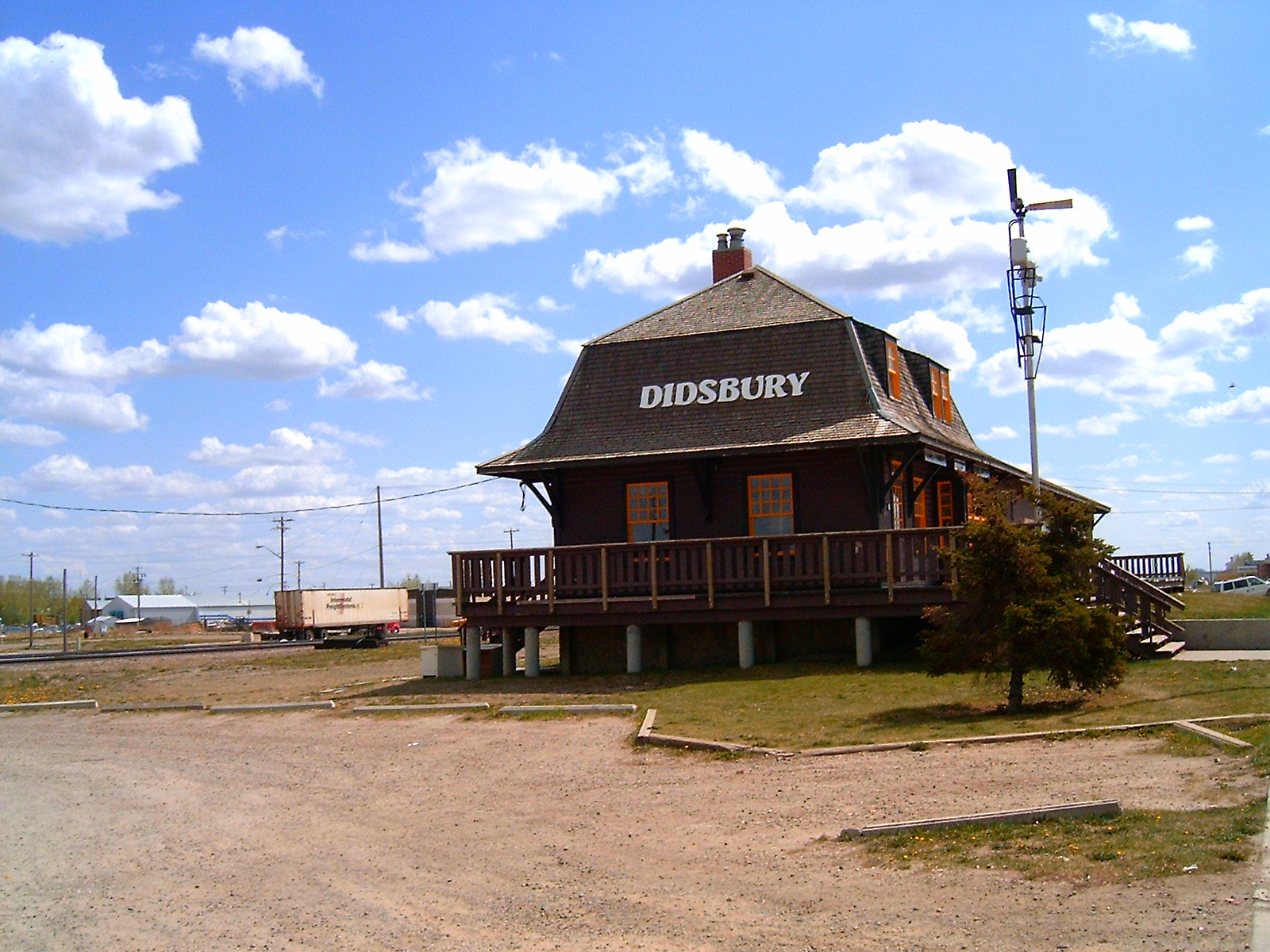
Didsbury — Town — Town of Didsbury Didsbury railway station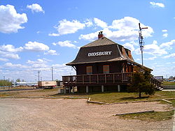

LogoLocation of Didsbury in Alberta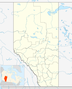
 Didsbury
Coordinates: 51°39′57″N 114°07′52″W / 51.66583°N 114.13111°WCoordinates: 51°39′57″N 114°07′52″W / 51.66583°N 114.13111°W Country  Canada
Province  Alberta
Region Central Alberta Census division 6 County Mountain View Settled 1894 Incorporated 1905 Village 1906 Town Government[1] - Mayor Brian Wittal - Governing body Didsbury Town Council - MP Blake Richards - MLA Richard Marz Area[2] - Total 5.47 km2 (2.1 sq mi) Elevation 1,030 m (3,379 ft) Population (2006)[3] - Total 4,275 - Density 782/km2 (2,025.4/sq mi) Time zone MST (UTC−7) - Summer (DST) MDT (UTC−6) Postal code span T0M Highways Highway 2A
Highway 582Waterway Rosebud River Website Town of Didsbury Didsbury is a town in central Alberta, Canada, at the foothills of the Rocky Mountains.
Located next to Alberta Highway 2A, near the Queen Elizabeth II Highway, Didsbury is within the Calgary-Edmonton corridor. Didsbury is approximately the half-way point between the cities of Calgary and Red Deer.
The town is the county seat of the rural Mountain View County. The nearest neighboring communities are the towns of Olds and Carstairs.
Contents
History
The town is named after the township of Didsbury, now a suburban area of Manchester, England.[4] The first settlers were Dutch Mennonites who left their homes in Pennsylvania and emigrated as United Empire Loyalists to Waterloo County, Ontario. They were granted the area around Didsbury in 1894 by the government of Sir John A. MacDonald.
 Main Street in Didsbury
Original settlement in the area was sparse, and this in part explains the initial slow development of the town-site as a service centre. The first concern of the Mennonite settlers was to build a church; and the primary task of the settlers was to create farmsteads. Settlement prior to the post-1900 land rush was limited to the small group who came west in 1894.
1897 saw the arrival of the Canadian Pacific Railway, which pushed forward the town's development. The CPR constructed a station in the town in 1904. Didsbury was incorporated as a village in 1905 and as a town on September 6, 1906.
Fires in 1914 and 1924 destroyed the early "boomtown" commercial streetscape and led to the passing by Town Council of a bylaw which required masonry construction for all new downtown commercial buildings. Many of these brick buildings stand today.
Demographics
The population of the Town of Didsbury according to its 2008 municipal census is 4,599.[5]
In 2006, Didsbury had a population of 4,275 living in 1,726 dwellings, a 8.7% increase from 2001. The town has a land area of 5.47 km2 (2.11 sq mi) and a population density of 782.0 /km2 (2,025 /sq mi).[3]
Infrastructure
The town's recreational facilities include six parks, a golf course, aquatic centre, and a hockey rink. There is also a hospital and a Royal Canadian Mounted Police detachment serving the town and the surrounding area.
Didsbury has three schools that are under the jurisdiction of the Chinook's Edge School Division.
The Olds-Didsbury Airport, which is used primarily for small aircraft and general aviation, is located north of Didsbury along Highway 2A.
Organizations
Organizations present in Didsbury include the Royal Canadian Army Cadets and the 1st Didsbury Scouts, as well as the Elks and Lions clubs.[citation needed]
Media
The town is served by the Didsbury Review newspaper, which is part of the Great West Newspapers chain.[6]
See also
- List of communities in Alberta
- List of towns in Alberta
References
- ^ Town of Didsbury. "Town Council". Archived from the original on 2007-06-08. http://web.archive.org/web/20070608203012/http://www.didsbury.ca/council.html. Retrieved 2007-06-22.
- ^ Town of Didsbury. Demographics
- ^ a b Statistics Canada (Census 2006). "Didsbury - Community Profile". http://www12.statcan.ca/english/census06/data/profiles/community/Details/Page.cfm?Lang=E&Geo1=CSD&Code1=4806032&Geo2=PR&Code2=48&Data=Count&SearchText=Didsbury&SearchType=Begins&SearchPR=01&B1=All&GeoLevel=&GeoCode=4806032. Retrieved 2007-06-11.
- ^ Didsbury History
- ^ Alberta Municipal Affairs (2009-09-15). "Alberta 2009 Official Population List". http://municipalaffairs.gov.ab.ca/documents/LGS/2009pop.pdf. Retrieved 2010-09-14.
- ^ Didsbury Review Newspaper site
External links

Sundre Olds Bowden 
Three Hills  Didsbury

Cremona Carstairs Linden Categories:- Municipal seats in Alberta
- Mountain View County, Alberta
- Towns in Alberta


Wikimedia Foundation. 2010.