- Mayerthorpe, Alberta
-
Mayerthorpe — Town — Town of Mayerthorpe Location of Mayerthorpe in Alberta

Coordinates: 53°57′01″N 115°08′01″W / 53.95028°N 115.13361°WCoordinates: 53°57′01″N 115°08′01″W / 53.95028°N 115.13361°W Country  Canada
Province  Alberta
Region Central Alberta Census division 13 County Lac Ste. Anne Government - Mayor Kim Connell - Governing body Mayerthorpe Town Council - MP - MLA Area - Total 4.78 km2 (1.8 sq mi) Elevation 715 m (2,346 ft) Population (2006)[1] - Total 1,474 - Density 308.6/km2 (799.3/sq mi) Time zone MST (UTC-7) Postal code span Area code(s) -1+780 Highways Highway 22
Highway 43Waterway Paddle River Website Town of Mayerthorpe Mayerthorpe is a town in the census division 13, central Alberta, Canada. It is located at the intersection of Highway 43 and Cowboy Trail (Hwy 22), 120 km (75 mi) north-west from Edmonton.
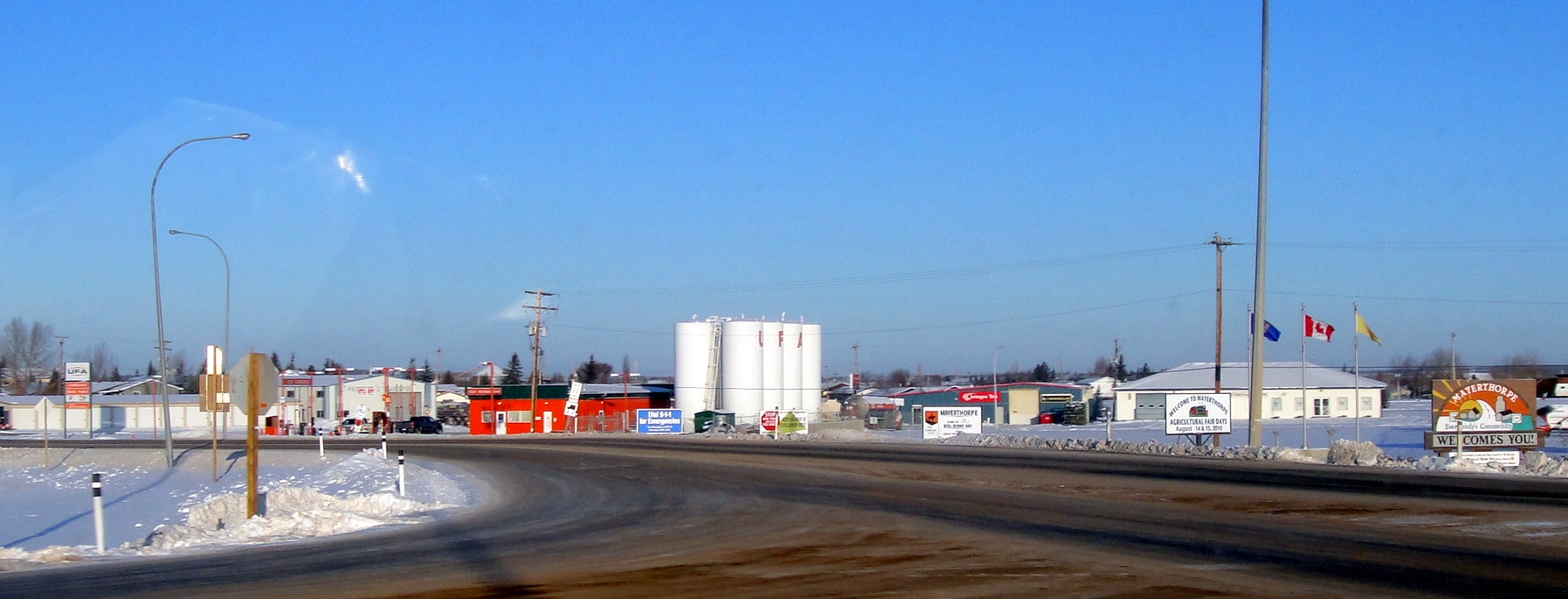
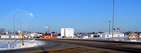 Mainstreet Mayerthorpe
Contents
History
On March 3, 2005, four officers serving with the Mayerthorpe and Whitecourt detachments of the Royal Canadian Mounted Police (RCMP) were killed in the Mayerthorpe tragedy.
On July 8, 2007, a tornado touched down approximately 20 km (12 mi) south of Mayerthorpe.[citation needed]
On July 29, 2008, the Mayerthorpe Arena was destroyed by a fire. Plans to rebuild are in the works.[citation needed]
Demographics
In 2006, Mayerthorpe had a population of 1,474 living in 636 dwellings, a 6.1% decrease from 2001. The town has a land area of 4.78 km2 (1.85 sq mi) and a population density of 308.6 /km2 (799 /sq mi).[1]
See also
- List of communities in Alberta
- List of towns in Alberta
References
- ^ a b Statistics Canada (Census 2006). "Mayerthorpe - Community Profile". http://www12.statcan.ca/english/census06/data/profiles/community/Details/Page.cfm?Lang=E&Geo1=CSD&Code1=4813002&Geo2=PR&Code2=48&Data=Count&SearchText=Mayerthorpe&SearchType=Begins&SearchPR=01&B1=All&GeoLevel=&GeoCode=4813002. Retrieved 2007-06-12.
External links

Blue Ridge Swan Hills Barrhead Whitecourt 
Sangudo  Mayerthorpe

Edson Entwistle Wabamun Categories:- Towns in Alberta
- Lac Ste. Anne County, Alberta
- Central Alberta geography stubs

Wikimedia Foundation. 2010.