- Slave Lake, Alberta
Infobox Settlement
official_name = Town of Slave Lake
other_name =
native_name =
nickname =
settlement_type = Town
motto =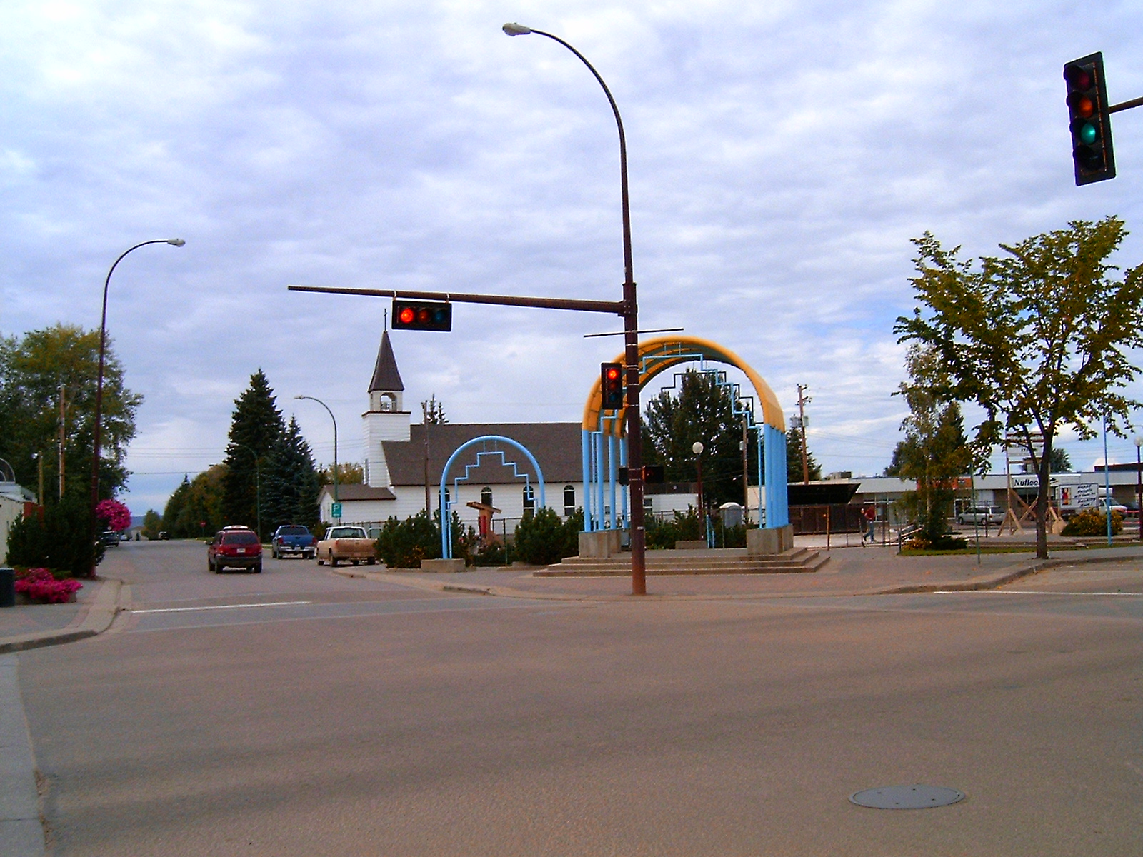
imagesize =
image_caption = Mainstreet Slave Lake
flag_size =
image_
seal_size =
image_shield =
shield_size =
city_logo =
citylogo_size =
mapsize =
map_caption =
mapsize1 =
map_caption1 =
image_dot_
dot_mapsize =
dot_map_caption = Location of Slave Lake inAlberta
dot_x = 75 |dot_y =98
subdivision_type = Country
subdivision_name = CAN
subdivision_type1 = Province
subdivision_name1 = AB
subdivision_type2 = Region
subdivision_name2 =Northern Alberta
subdivision_type3 = Census division
subdivision_name3 = 17
subdivision_type4 = Municipality
subdivision_name4 = Lesser Slave River
government_type =
leader_title = Mayor
leader_name = Karina Pillay-Kinnee
leader_title1 = Manager
leader_name1 = Betty Osmond
leader_title2 = Governing body
leader_name2 = Slave Lake Town Council
leader_title3 = MP
leader_name3 =Brian Jean (Fort McMurray-Athabasca -Cons)
leader_title4 = MLA
leader_name4 =Pearl Calahasen (Lesser Slave Lake-PC)
established_title = Incorporated
established_date = 1965
established_title2 =
established_date2 =
established_title3 =
established_date3 =
area_magnitude =
unit_pref =
area_footnotes =Alberta Municipal Affairs - [http://www.municipalaffairs.gov.ab.ca/ms/pdf/2005pop.pdf 2005 Municipal Census] ]
area_total_km2 = 14.18
area_land_km2 =
area_water_km2 =
area_total_sq_mi =
area_land_sq_mi =
area_water_sq_mi =
area_water_percent =
area_urban_km2 =
area_urban_sq_mi =
area_metro_km2 =
area_metro_sq_mi =
population_as_of = 2007
population_footnotes =
population_note =
population_total = 7031
population_density_km2 = 472.8
population_density_sq_mi =
population_metro =
population_density_metro_km2 =
population_density_metro_sq_mi =
population_urban =
population_density_urban_km2 =
population_density_urban_sq_mi =
population_blank1_title =
population_blank1 =
population_density_blank1_km2 =
population_density_blank1_sq_mi =
timezone = MST
utc_offset = -7
timezone_DST =
utc_offset_DST =
latd=55 |latm=17 |lats=07 |latNS=N
longd=114 |longm=46 |longs=14 |longEW=W
elevation_footnotes =
elevation_m = 980
elevation_ft =
postal_code_type = Postal code span
postal_code = T0G
area_code = +1-780
blank_name = Highways
blank_info = Highway 2
Bicentennial Highway
blank1_name = Waterways
blank1_info =Lesser Slave Lake Lesser Slave River
website = [http://www.slavelake.ca Town of Slave Lake]
footnotes = Slave Lake is a town innorthern Alberta ,Canada , in the Municipal District of Lesser Slave River. It is located on the South-east shore ofLesser Slave Lake at the junction of Highway 2 and Highway 88.In 1994 the town hosted the
Arctic Winter Games which is a celebration of circumpolar sports and culture. The town is also the birthplace ofWalter Patrick Twinn , aFirst Nation s person and Canadian Senator.History
The area of the present day town of Slave Lake was first explored by David Thompson in 1799. Following his exploration, several fur trading posts were established around Slave Lake, with a
Hudson's Bay Company post established at the mouth of the lake. The first community, called Sawridge, was wiped out by a flood in the 1930's, and was subsequently moved and renamed Slave Lake. It was incorporated as a town in 1965. [ [http://www.slavelake.ca/rainbow/portal/alias__Rainbow/lang__en-US/tabID__3333/DesktopDefault.aspx Town of Slave Lake] - History]Demographics
In 2007, the town had a population of 7031. [ [http://www12.statcan.ca/english/Profil01/CP01/Details/Page.cfm?Lang=E&Geo1=CSD&Code1=4817029&Geo2=PR&Code2=48&Data=Count&SearchText=slave%20lake&SearchType=Begins&SearchPR=01&B1=All&Custom= Slave Lake Community Profile] Statistics Canada. 2002. 2001 Community Profiles. Released June 27, 2002. Last modified: 2005-11-30. Statistics Canada Catalogue no. 93F0053XIE]
In 2006, Slave Lake had a population of 6,703 living in 2,342 dwellings, a 1.6% increase from 2001. The town has a land area of km2 to mi2|14.18|abbr=yes|wiki=yes and a
population density of Pop density km2 to mi2|472.8| spell=UK | abbr=yes.Cite web| url= http://www12.statcan.ca/english/census06/data/profiles/community/Details/Page.cfm?Lang=E&Geo1=CSD&Code1=4817029&Geo2=PR&Code2=48&Data=Count&SearchText=Slave%20Lake&SearchType=Begins&SearchPR=01&B1=All&GeoLevel=&GeoCode=4817029 | title= Slave Lake - Community Profile | author= Statistics Canada| authorlink= Statistics Canada| year= Census 2006 | accessdate= 2007-06-12]Picture Gallery
References
External links
* [http://www.slavelake.ca Town of Slave Lake] (Official website)
*Alberta First. [http://www.albertafirst.com/profiles/statspack/20462.html Slave Lake Information and Statistics]Geographic Location (8-way)
Centre = Slave Lake
North =

Wikimedia Foundation. 2010.