- Red Run Covered Bridge
-
Red Run Covered Bridge 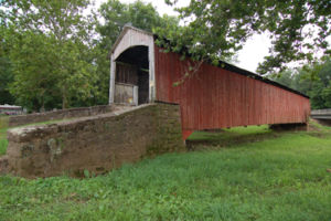
Locale Lancaster County, Pennsylvania, United States Design single span, double Burr arch truss Total length 107 feet (32.6 m) Constructed by Elias McMellen Construction begin 1866 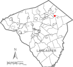
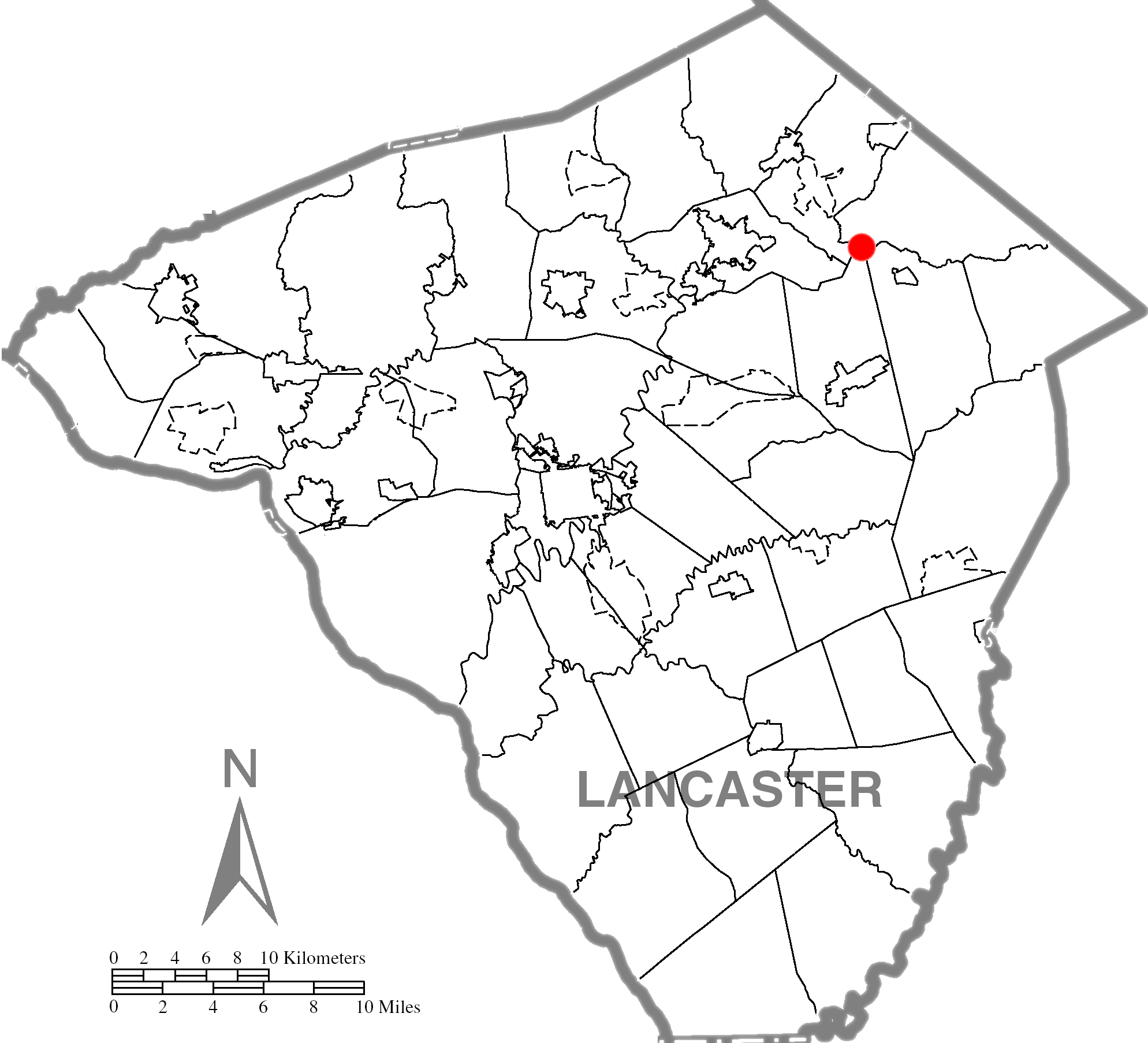
Coordinates 40°10′34″N 76°05′00″W / 40.1762°N 76.0833°WCoordinates: 40°10′34″N 76°05′00″W / 40.1762°N 76.0833°W
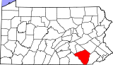
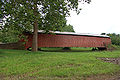
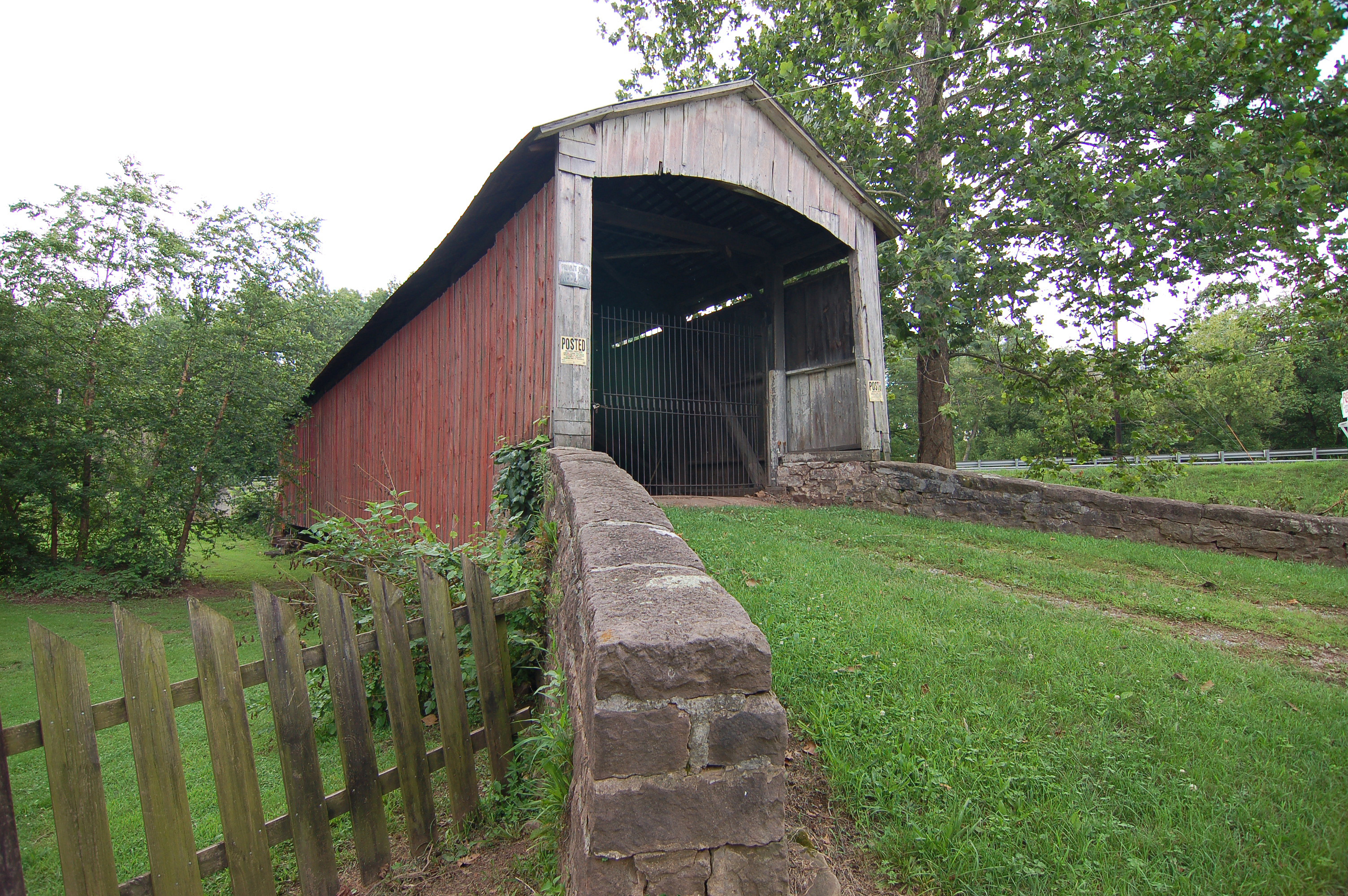
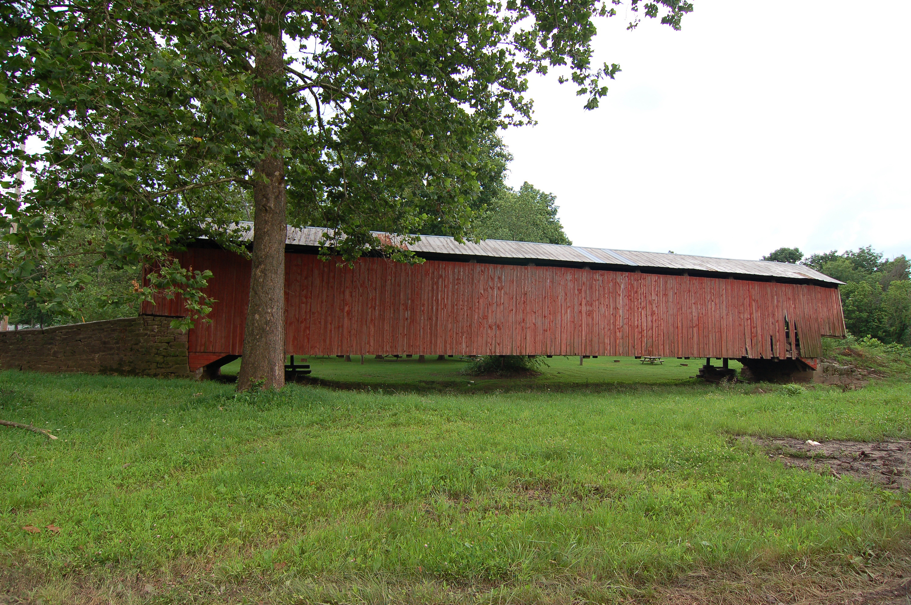
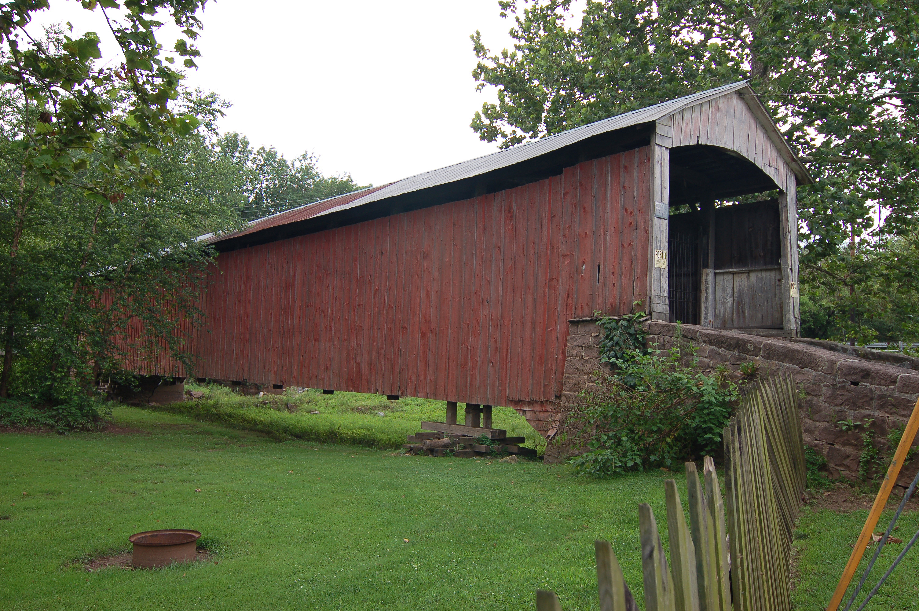
Red Run Covered Bridge or Oberhaltzer's Covered Bridge is a covered bridge that once spanned the Muddy Creek in Lancaster County, Pennsylvania, United States. It was built in 1866 by Elias McMellen and is currently situated on private property next to the Red Run Campground. It is 107 feet long with a width of 15 feet and is also known as the Oberholzer's Covered Bridge.
The bridge has a single span, wooden, double Burr arch trusses design.[1] It is painted red, the traditional color of Lancaster County covered bridges, on the outside. Both approaches to the bridge are painted in the traditional white color.
The bridge's WGCB Number is 38-36-10. Added in 1980, it is listed on the National Register of Historic Places as structure number 80003539.[2] It is located at 40°10′34.2″N 76°5′0″W / 40.176167°N 76.083333°W (40.17617, -76.08333).[3]
Contents
Dimensions
- Length: 107 feet (32.6 m) total length
- Width: 15 feet (4.6 m) total width
Gallery
-
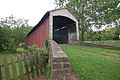
View of the front of the bridge
-
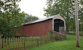
Side of the bridge
-
A three quarters view
-
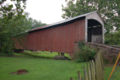
A closer view
See also
References
- "Red Run Covered Bridge". Lancaster County Pennsylvania Dutch Country Official Visitors Center. Pennsylvania Dutch Convention & Visitors Bureau. 2006. http://www.padutchcountry.com/member_pages/red_run_covered_bridge__.asp. Retrieved 2006-07-07.
- "The Covered Bridges of Lancaster County". Lancaster County, PA Government Portal. County of Lancaster, Pennsylvania. 2001-11-09. http://www.co.lancaster.pa.us/lanco/cwp/view.asp?a=15&Q=257050. Retrieved 2006-07-07.
- ^ McCain, Dr. Roger A.. "Red Run Mill Bridge". A Guide to Old Covered Bridges of Southeastern Pennsylvania and nearby areas. http://william-king.www.drexel.edu/top/bridge/CBOber.html. Retrieved 2006-08-04.
- ^ "PENNSYLVANIA - Lancaster County". National Register of Historic Places. http://www.nationalregisterofhistoricplaces.com/PA/Lancaster/state4.html. Retrieved 2007-03-20.
- ^ Travis, Dale. "38-36-10". Round Barns & Covered Bridges. http://www.dalejtravis.com/bridge/pennsylv/htm/3803610.htm. Retrieved 2006-08-08.
Bridges and tunnels on the National Register of Historic Places Alabama · Alaska · Arizona · Arkansas · California · Colorado · Connecticut · Delaware · Florida · Georgia · Guam · Hawaii · Idaho · Illinois · Indiana · Iowa · Kansas · Kentucky · Louisiana · Maine · Maryland · Massachusetts · Michigan · Minnesota · Mississippi · Missouri · Montana · Nebraska · Nevada · New Hampshire · New Jersey · New Mexico · New York · North Carolina · North Dakota · Ohio · Oklahoma · Oregon · Pennsylvania (covered) · Puerto Rico · Rhode Island · South Carolina · South Dakota · Tennessee · Texas · Utah · Vermont · Virginia · Washington · Washington, D.C. · West Virginia · Wisconsin · Wyoming
Categories:- Covered bridges in Lancaster County, Pennsylvania
- Bridges completed in 1866
- Bridges on the National Register of Historic Places in Pennsylvania
- Road bridges in Pennsylvania


Wikimedia Foundation. 2010.