- Covered bridges of southeast Ohio
-
Southeast Ohio is the home for a number of historic covered bridges.
Contents
Athens County
Athens County features three of these preserved structures:
- Blackwood Covered Bridge
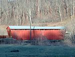
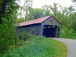
 Blackwood Covered Bridge
This is a bridge over the Middle Branch of the Shade River in Lodi Township. It is on Blackwood Road (County Road 46) just east of its intersection with Zion Road (Lodi Township Road 76). It is approximately seventy feet long. It sits higher above the water than the other two bridges in Athens County.
- Kidwell Covered Bridge
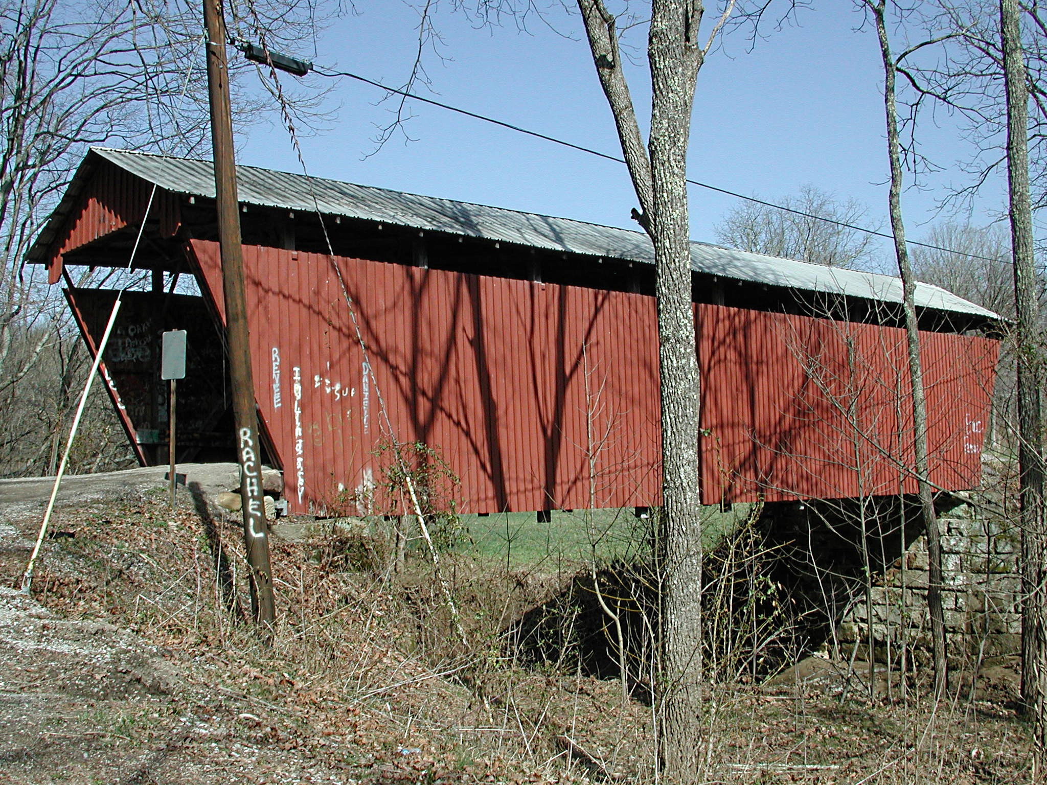
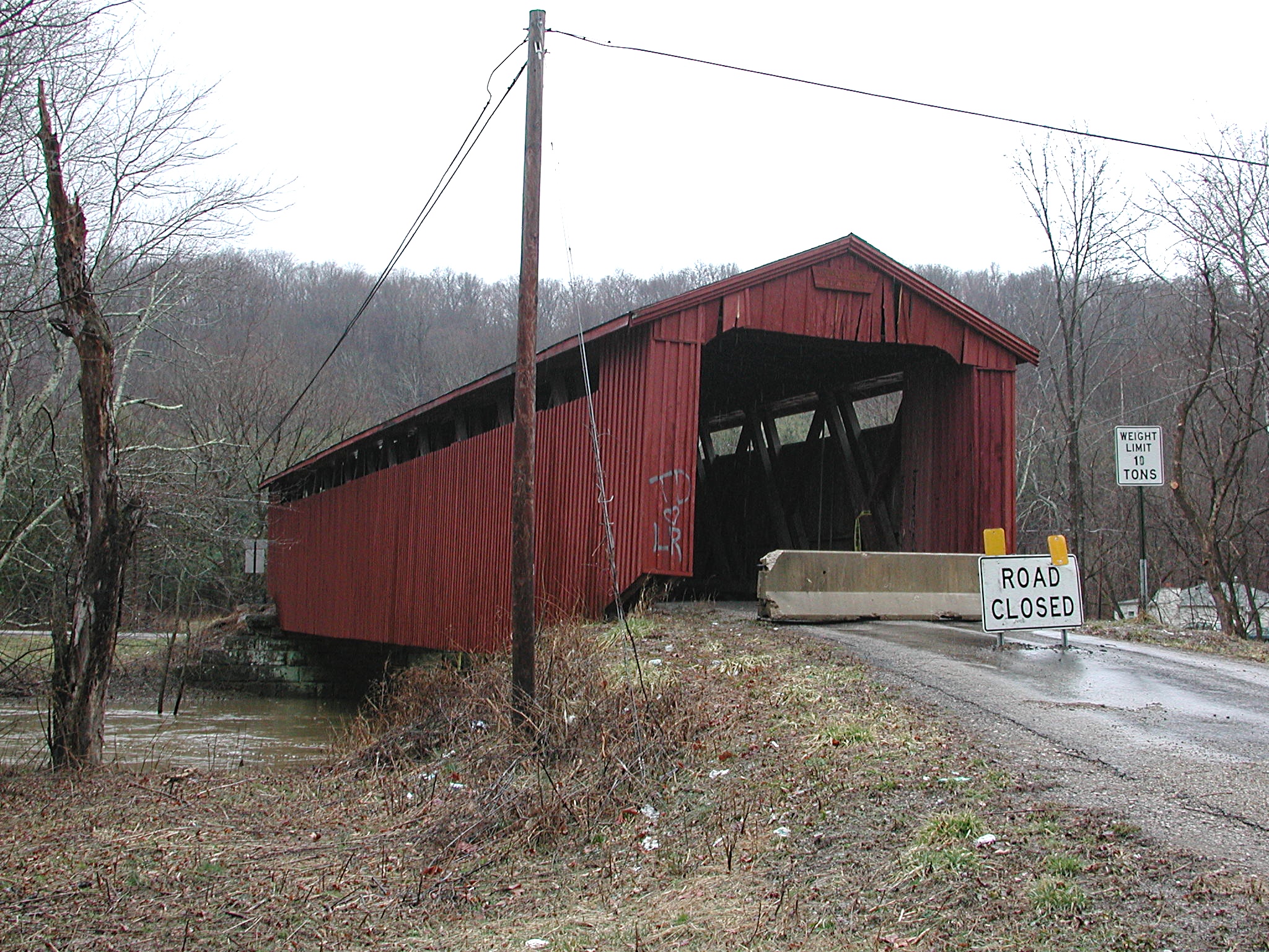
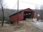 Kidwell Covered Bridge
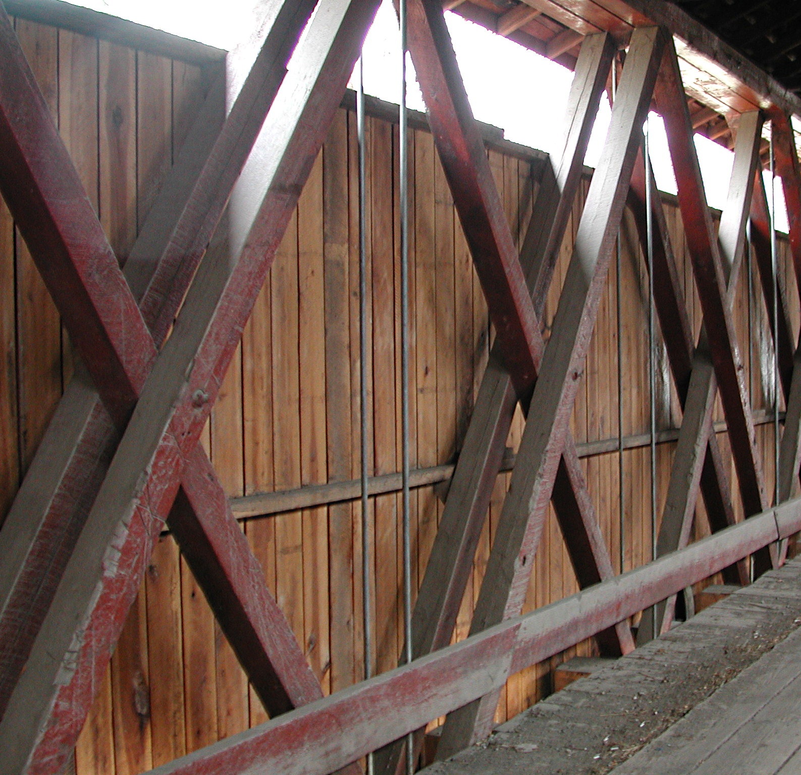
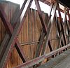 Interior of Kidwell Covered Bridge
This covered bridge is located in Trimble Township, on Monserat Ridge Road close to its intersection with Ohio State Route 685; Monserat Ridge Road also intersects with Ohio State Route 13 close by. The bridge spans Sunday Creek. This bridge is just southwest of the unincorporated community of Redtown, Ohio and northeast of the unincorporated community of Truetown, Ohio. It is approximately seventy feet long. This bridge has been stabilized, renovated and structurally strengthened by the County Engineer's Office of Athens County, Ohio; however, the bridge (as shown in the photo) is temporarily closed due to damage to overhead structural members caused by an oversize truck being driven across the bridge. [1]
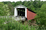
- Palos Covered Bridge
 Palos Covered Bridge
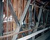 Palos Covered Bridge Interior
This structure is located on Red Rock Road, a Trimble Township road, close to its intersection with Ohio State Route 13, and is easily visible from the highway. It spans Sunday Creek and is a short distance southwest of Burr Oak State Park. It is approximately eighty feet long.
Jackson County
- Johnson Road Covered Bridge
 Johnson Road Covered Bridge
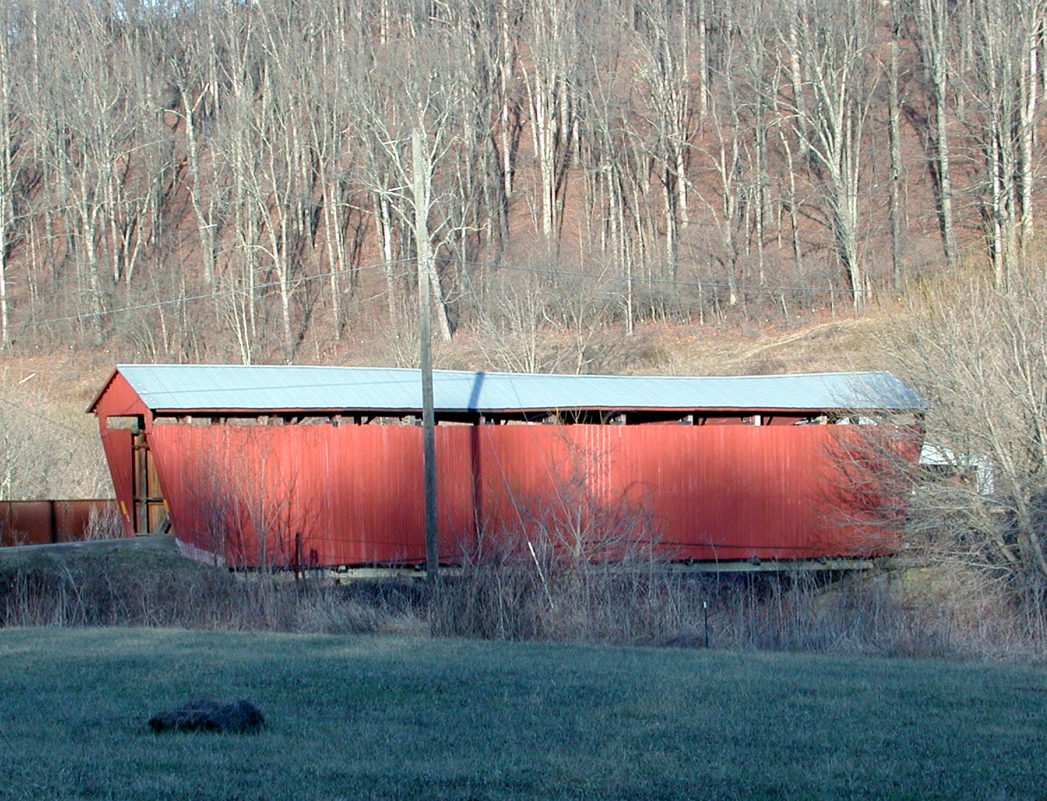
The Johnson Road Covered Bridge carries Johnson Road over the Brushy Fork of the Little Scioto River near Petersburg in southwestern Scioto Township. Built in 1870, it is listed on the National Register of Historic Places.
Vinton County
- Eakin Mill Covered Bridge
 Eakin Mill Covered Bridge
Eakin Mill Covered Bridge carries Mound Hill Road over Raccoon Creek north of Arbaugh in Vinton Township. Built in 1870, it is listed on the National Register of Historic Places.
- Ponn Humpback Covered Bridge
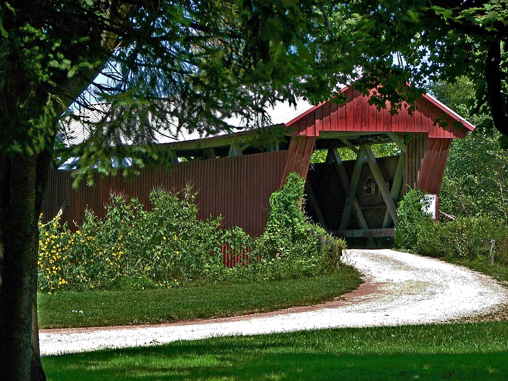
Ponn Humpback Covered Bridge
Washington County
- Hune Covered Bridge
 Hune Covered Bridge
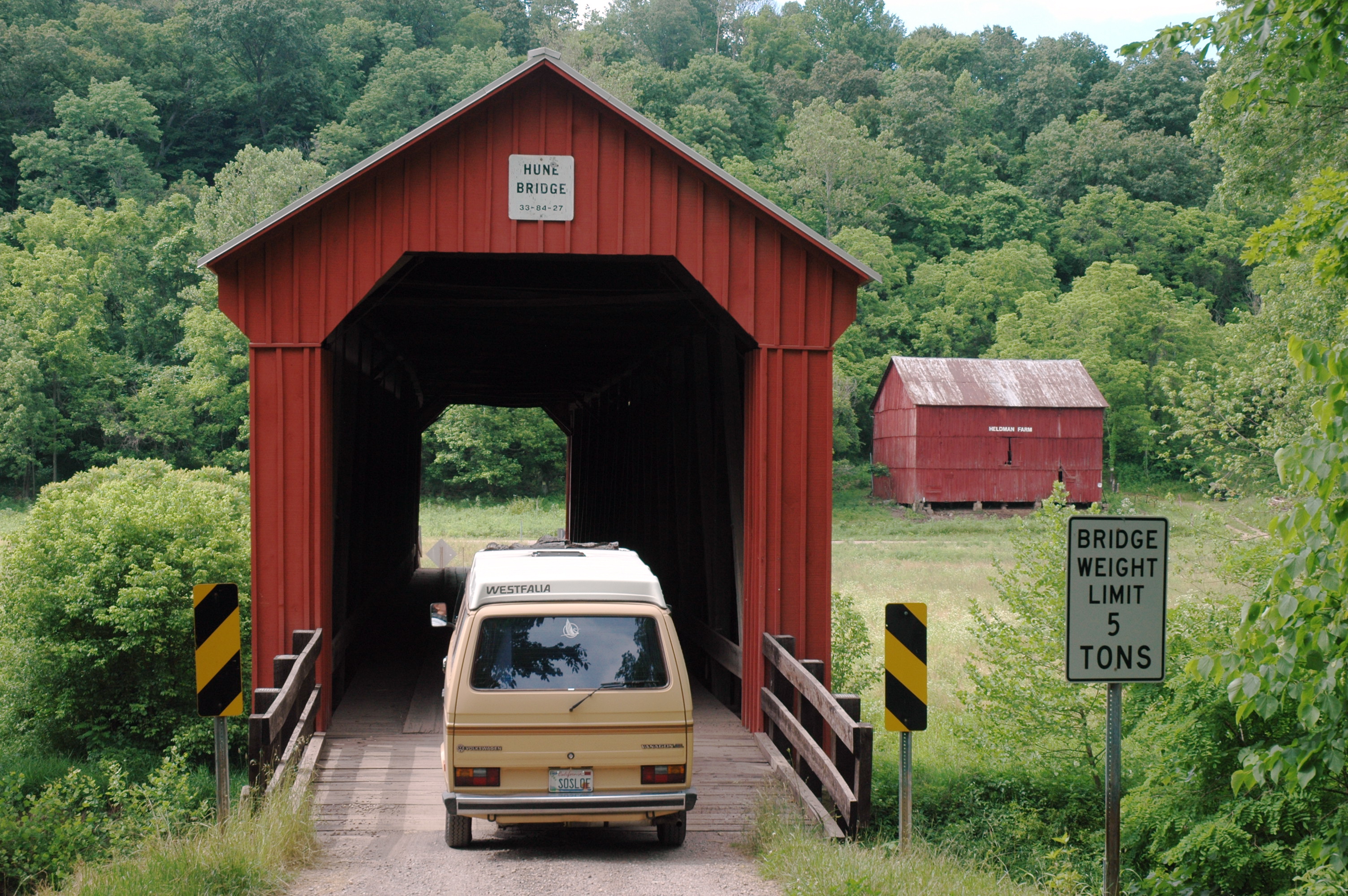
Hune Covered Bridge, which carries Cullen Road over the Little Muskingum River south of Wingett Run in Lawrence Township. Built in 1879, this Long Truss covered bridge is listed on the National Register of Historic Places.
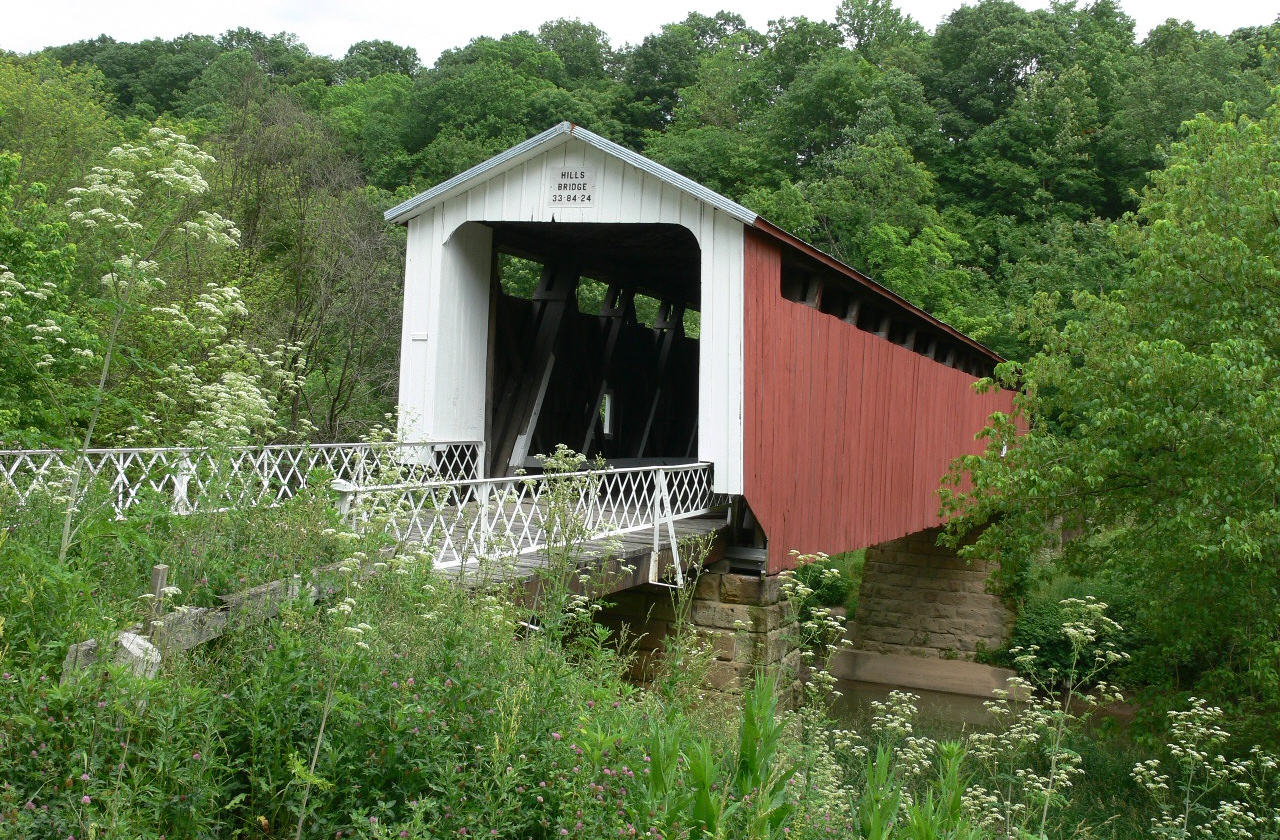
- Hildreth Covered Bridge
 Hildreth Covered Bridge
The Hildreth Covered Bridge is also known as the "Hills Covered Bridge." It formerly carried Hills Bridge Road over the Little Muskingum River east of Marietta in Newport Township, United States. Built in 1879, this Howe Truss covered bridge is listed on the National Register of Historic Places.
References
- ^ Statement by Athens County Bridge Inspector
Categories:- Covered bridges in Ohio
- Buildings and structures in Athens County, Ohio
- Buildings and structures in Jackson County, Ohio
- Buildings and structures in Vinton County, Ohio
- Buildings and structures in Washington County, Ohio
- Transportation in Athens County, Ohio
- Transportation in Jackson County, Ohio
- Transportation in Vinton County, Ohio
- Transportation in Washington County, Ohio
- Visitor attractions in Athens County, Ohio
- Visitor attractions in Jackson County, Ohio
- Visitor attractions in Vinton County, Ohio
- Visitor attractions in Washington County, Ohio


Wikimedia Foundation. 2010.