- Root Road Covered Bridge
Infobox U.S. Covered Bridge
bridge=Root Road Bridge_Covered_Bridge_1.jpg)
image_size=260px
bridge_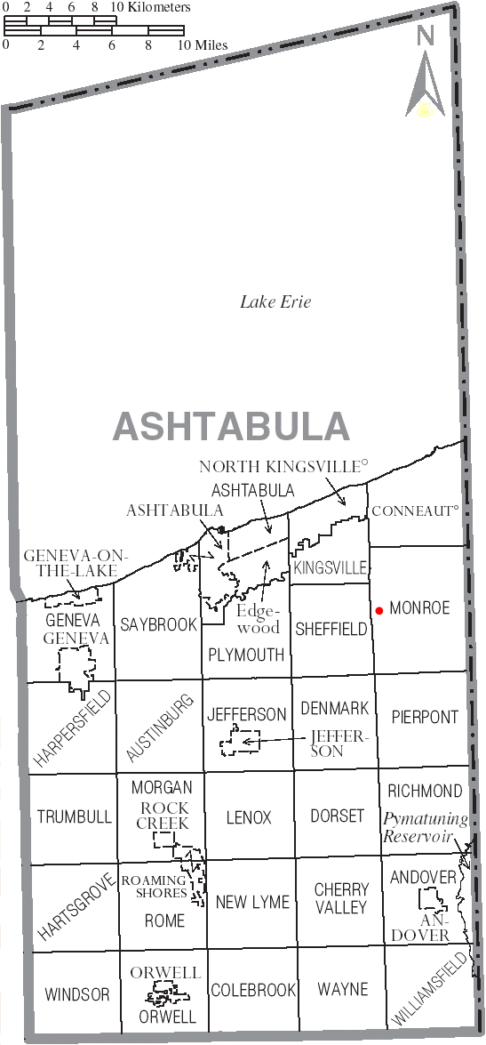
bridge_map_size=250px
state=Ohio
county=Ashtabula County
length=112
truss=single span,Town truss
built=1868
renovated=1982-83
builder=Root Road Bridge is a
covered bridge spanning the west branch of theAshtabula River in Monroe Township, Ashtabula County,Ohio ,United States . The bridge, one of currently 15 drivable bridges in the county, is a single spanTown truss design. During its renovation in 1982-83, the bridge was raised 18 inches, and a new center pier was addedhttp://www.coveredbridgefestival.org/bridges.htm Ashtabula County Ohio Covered Bridge Festival] . The bridge’s WGCB number is 35-04-09 [http://www.dalejtravis.com/bridge/ohio/htm/3500409.htm Ohio Covered Bridges List, 35-04-09] , and it is located at coor dms|41|45|53.424|N|80|43|57.36|W|city (41.8333, 80.62013)http://mapper.acme.com/?ll=41.8333,-80.62013&z=14&t=H ACME Mapper 2.0] approximately 6.3 mi (10.0km ) southeast of North Kingsville.Directions to bridge
*From Interstate 90 exit 235, head south on State Route 193 approximately 3.9 miles.
*Turn left (east) on Sheffield-Monroe Road (C-408) and continue 2.0 miles.
*Turn left (north) on Stanhope-Kelloggsville Road (C-33) and continue 0.7 miles.
*Turn right (east) on Root Road (T-414) and continue 0.1 miles to the bridge [http://local.live.com/default.aspx?v=2&cp=41.851998~-80.643215&style=r&lvl=12&tilt=-90&dir=0&alt=-1000&rtp=pos.qzd2dg88b0n0_Origin~pos.qz4zwz88fgw2_Destination Windows Live Local] .History
*1868 – Bridge constructed.
*1982-83 – Bridge renovated.A former toll road just east of there ran north and south through the county. Dwight and Gertrude (Hallam) Root, had a son Herbert Root. Herbert married Frances Whitlam, daughter of John H. Whitlam, one if not the first Superintendent of Roads in Ashtabula County, for twenty five years. He possibly was involved in a the construction of the earlier bridges.Dimensions
*Span: 82 feet 4 inches (25.1 m)
*Length: 112 feet (34.1 m)
*Width: 11.3 feet (3.4 m)
*Height: 10 feet 2 inches (3.1 m)
*Overhead clearance: 9 feet 4 inches (2.8 m)Gallery
ee also
*
List of Ashtabula County covered bridges References
External links
*Geolinks-US-streetscale|41.8333|-80.62013
* [http://www.dalejtravis.com/cblist/cboh.htm Ohio Covered Bridges List]
* [http://members.aol.com/jreinhl/index.htm Ohio Covered Bridge Homepage]
* [http://members.aol.com/jreinhl/maps/numbers.htm The Covered Bridge Numbering System]
* [http://oldohiobridges.com/ohba.htm Ohio Historic Bridge Association]
* [http://www.dot.state.oh.us/se/coveredbridges/ashtabula/ah0409f.htm Root Road Covered Bridge] from [http://www.dot.state.oh.us/se/coveredbridges/#ODOT Ohio Covered Bridges, Historic Bridges]
Wikimedia Foundation. 2010.