- Ohio State Route 13
-
State Route 13
Route information Maintained by ODOT Length: 175.18 mi[1] (281.92 km) Existed: 1926 – present Major junctions South end:  SR 550 near Athens
 US 22 in Somerset
 I-70 near Thornville
 US 40 near Thornville
 US 62 in Utica
 US 36 in Mt. Vernon
 I-71 in Mansfield
 US 42 in Mansfield
 US 30 in Mansfield
 SR 2 near Huron
North end:  US 6 in Huron
Location Counties: Athens, Perry, Licking, Knox, Richland, Huron, Erie Highway system Ohio highways
Interstates • U.S. Routes • State Routes←  SR 12
SR 12SR 14  →
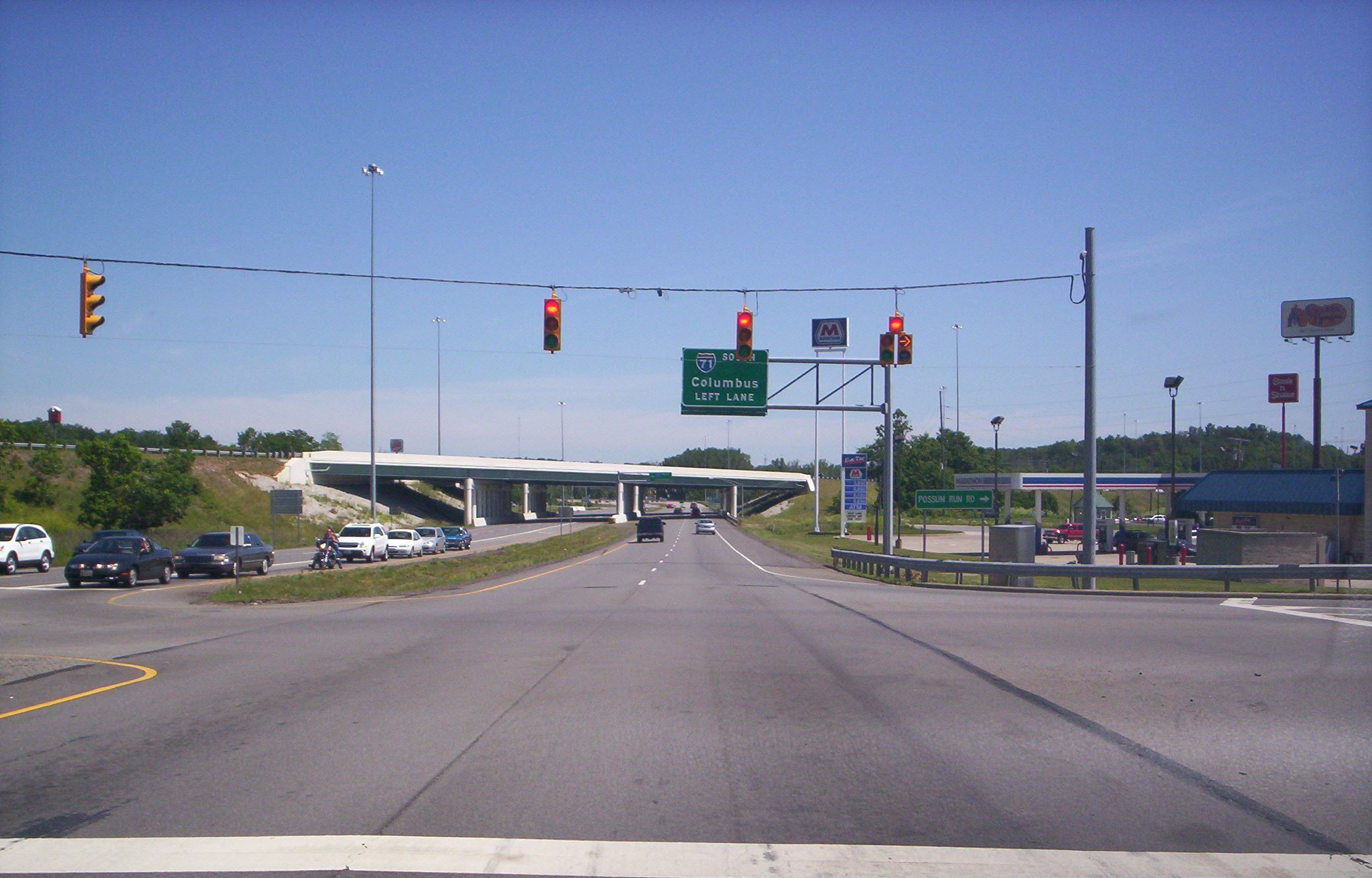
→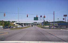 State Route 13 at the Possum Run Road intersection heading northbound near the junction of I-71 in Mansfield.
State Route 13 is a north–south state highway in the northern and southeastern portion of the U.S. state of Ohio. Its southern terminus is at State Route 550 near Athens, and its northern terminus is at U.S. Route 6 in Huron.
Contents
Route description
Route 13 arises in Dover Township, Athens County, Ohio at Ohio State Route 550 at its junction with US Route 33. It travels west to the heart of Chauncey, Ohio, then turns north at its junction with Ohio State Route 682. After leaving Chauncey, it bypasses Millfield, Ohio, then enters Trimble Township and passes through Redtown, Jacksonville, Trimble, Glouster, Palos, then passes by the dam side of Burr Oak State Park and passes Burr Oak. It then enters Perry County and continues north. For much of its length in Athens and Perry Counties, the highway is paralleled by a line of the Norfolk Southern Railway.
History
The southern terminus of Ohio State Route 13 was originally in the village of Chauncey, Ohio, at the intersection with Ohio State Route 682 that is now at mile 3.15. This original terminus was at what was then US-33. Since then, US-33 was rebuilt as a four-lane divided highway, and is across the Hocking River now from Chauncey. The former section of US-33 was divided between Ohio State Route 682, to the west, and Ohio State Route 13, to the east, slightly extending both roadways.
North of Chauncey, the highway now is almost straight as it passes Millfield, Ohio and goes to Redtown, Ohio, and passes through a cut through a ridge. Originally, the highway looped through Millfield and Truetown.
Major intersections
County Location Mile Destinations Notes Athens Dover Township 0.00  US 33
US 33Southern terminus at intersection with bottom of Ohio State Route 550 exit ramp from US Route 33 3.15  SR 682 west
Northern terminus of Ohio State Route 682, at three-way junction in the village of Chauncey, Ohio, with 13 to the east and north, and 682 to the west. Trimble Township 5.39  SR 685 west
Eastern terminus of Ohio State Route 685, which is on former OH-13, just south of Redtown. Trimble 10.71  SR 329 east
"Northern" (western) terminus of Ohio State Route 329, in village of Trimble, Ohio. Glouster 11.86  SR 78 west
Starts combined highway with Ohio State Route 78, in village of Glouster, Ohio 12.88 SR 78 eastEnds combined highway with Ohio State Route 78, just north of Glouster, Ohio Perry Corning 20.31  SR 155 west
Eastern terminus of OH-155; OH-155 immediately crosses adjacent railroad tracks Bearfield Township 29.63  SR 93 north
OH-13 turns from north to west here, and is now combined with OH-37 and OH-93 New Lexington 34.97 SR 93 southOH-13 and OH-37 are still combined 35.63  SR 345 east
At corner; OH-13 and OH-37 are still combined 36.06  SR 37 west
At corner Reading Township 42.26  SR 669 east
Beginning of OH-669; Y-intersection, with stem to the west; just east of Somerset 42.90  SR 383 south
Northern terminus of OH-383; OH-383 is a short connector to the St. Joseph College; just east of Somerset Somerset 43.99 US 22 west44.04 US 22 west44.42  SR 757 north
Beginning of OH-757 49.90  SR 256 southwest
Terminus of OH-256 Thornville 54.55  SR 204 west
Licking Licking Township 57.71 I-70 westAt a diamond interchange; OH-13 passes under I-70 58.83 US 40 westNewark 66.14  SR 16 west
OH-16 and OH-79 are combined here; modified diamond interchange, with OH-13 passing under OH-16/79 70.22  SR 657 west
On north edge of Newark; eastern terminus of OH-657 Utica 78.73 US 62 westKnox Mount Vernon 0.00  SR 661 west
89.62  SR 586 east
90.09  SR 130
90.18  SR 229 west
90.42 US 36 west90.50 SR 229 west90.57  SR 3 west
90.76 SR 130Fredericktown 97.75  SR 95 west
Utica 100.97  SR 546 east
Richland Bellville 116.95  SR 97 west
117.32 SR 97 eastMansfield 122.75 I-71 westModified diamond interchange; OH-13 goes under I-71 127.05 US 42 west127.36 US 42 east127.43  US 420 west
127.52  SR 430 west
127.83  SR 39 west
128.91 US 30 westMileage is average; eastbound is actually 128.90; westbound is 128.92 Franklin Township 136.84  SR 96
SR 96137.58 SR 96137.58 SR 96 eastBlooming Grove Township 138.85  SR 603 west
Huron Greenwich Township 147.08  US 224 west
Fitchville Township 151.59  US 250 east
Begins combined OH-13 and US-250 0.00  SR 162 west
Norwalk 0.00  US 20 west
0.00  SR 61 southwest
Erie Milan 0.00  SR 113 east
Milan Township 0.00 SR 113 west168.94 US 250 northwestEnd of combined OH-13 and US-250 0.00  I-80 east
Huron Township 173.62 SR 2 eastHuron 175.18 US 6 eastNorthern terminus of Ohio State Route 13 1.000 mi = 1.609 km; 1.000 km = 0.621 mi
Concurrency terminus • Closed/Former • Incomplete access • UnopenedReferences
- ^ Mileages retrieved from Technical Services Straight Line Diagrams unless otherwise noted.
Categories:- State highways in Ohio
- Transportation in Athens County, Ohio
- Transportation in Perry County, Ohio
- Transportation in Licking County, Ohio
- Transportation in Knox County, Ohio
- Transportation in Richland County, Ohio
- Transportation in Huron County, Ohio
- Transportation in Erie County, Ohio
- Ohio road stubs

Wikimedia Foundation. 2010.