- Chauncey, Ohio
-
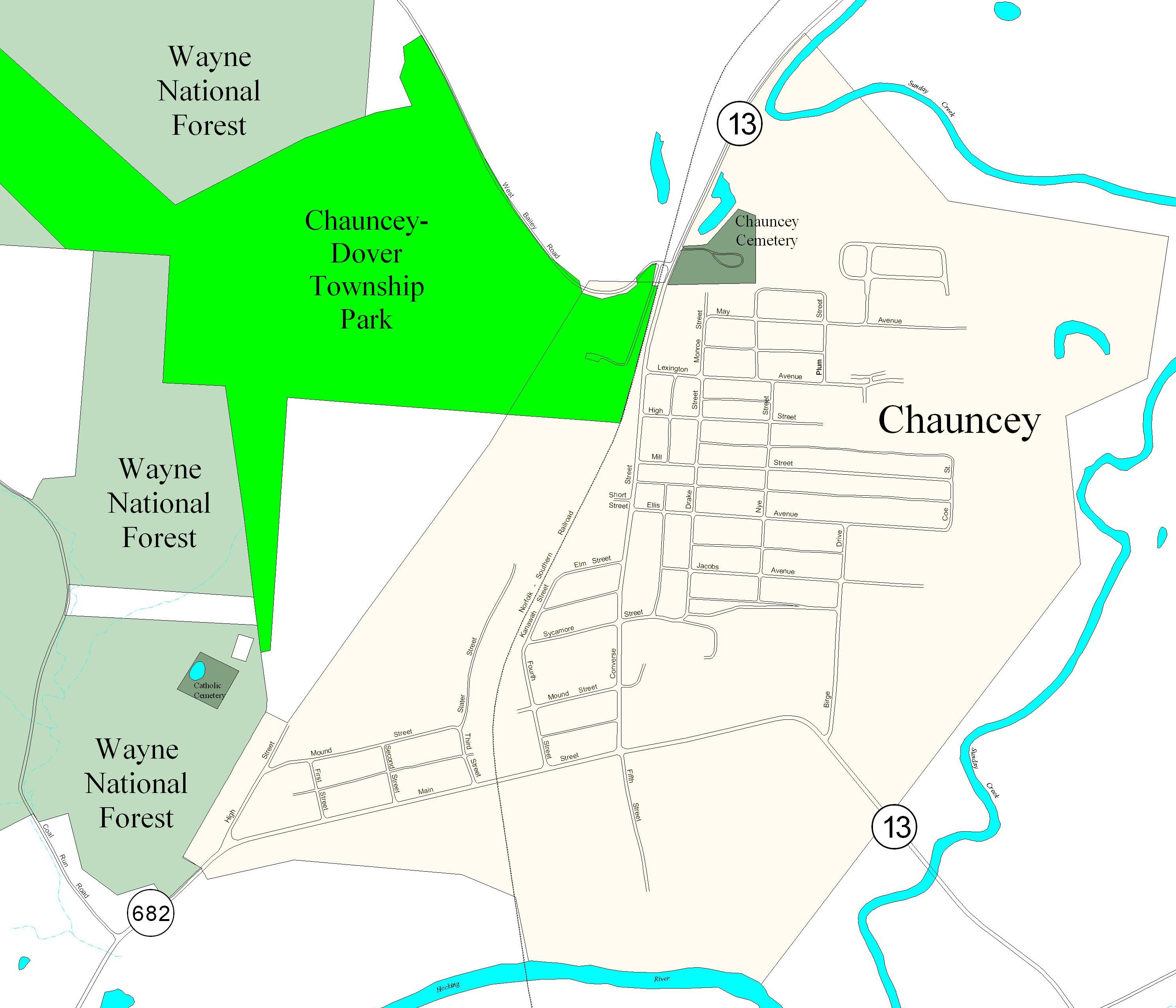
Chauncey, Ohio — Village — Location of Chauncey, Ohio Street map of Chauncey
Coordinates: 39°24′0″N 82°7′43″W / 39.4°N 82.12861°WCoordinates: 39°24′0″N 82°7′43″W / 39.4°N 82.12861°W Country United States State Ohio County Athens Area – Total 0.7 sq mi (1.7 km2) – Land 0.7 sq mi (1.7 km2) – Water 0.0 sq mi (0.0 km2) Elevation[1] 659 ft (201 m) Population (2000) – Total 1,067 – Density 1,592.1/sq mi (614.7/km2) Time zone Eastern (EST) (UTC-5) – Summer (DST) EDT (UTC-4) ZIP code 45719 Area code(s) 740 FIPS code 39-13778[2] GNIS feature ID 1075568[1] Chauncey is a village in Athens County, Ohio, United States. The population was 1,067 at the 2000 census. The local residents pronounce the village name /ˈtʃænsi/ (the same as the local pronunciation of "chancy").[3] The village is located near The Plains.
Contents
Folklore
Local legend explains the unusual pronunciation of the village's name in several possible ways:
- During the nineteenth century, Chauncey was a prominent stop on the Underground Railroad. The assumption was that those who come from far away and had merely read the name would seek directions using the phonetic pronunciation, identifying these individuals as Southerners in search of escaped slaves. Locals would then point these travelers in the wrong way.
- Another local legend regarding the name relates to the fact that Chauncey was a mining town. It says that the owners of the mines had the name of the town pronounced "Chancey," so that any people that came in wishing to unionize the mines would be recognized immediately, by their pronunciation of the name of the town.
- Yet another version holds that the name change occurred during Prohibition, when it was necessary to recognize outsiders.
Geography
Chauncey is located at 39°24′0″N 82°7′43″W / 39.4°N 82.12861°W (39.400100, -82.128569)[4], along Sunday Creek just above its confluence with the Hocking River. Much of the village is in low-lying flood plain and even floodway, and so is prone to flooding.
According to the United States Census Bureau, the village has a total area of 0.7 square miles (1.8 km2), all of it land.
History
Chauncey was established on land once owned by Resolved Fuller. Fuller created a salt well and salt production works on his farm in the early 1830s, but then sold the concern in 1833 to a partnership who then reconveyed the expanded business in 1837-38 to another partnership, Ewing and Vinton. These men brought in Philadelphia capitalists Nicholas Biddle and Elihu Chauncey. In 1839, they laid out the village of Chauncey on the 400-acre (1.6 km2) farm, based on salt production as an industry. The original village comprised the part of the modern village that is today west of the railroad line, and the salt works were west of this area, towards Coal Run Road. Around 1905, coal mines opened in the area, and coal mining was then a thriving concern for the next half-century. Today, Chauncey is generally a bedroom community with no industry.
Demographics
As of the census[2] of 2000, there were 1,067 people, 431 households, and 286 families residing in the village. The population density was 1,592.1 people per square mile (614.9/km²). There were 483 housing units at an average density of 720.7 per square mile (278.3/km²). The racial makeup of the village was 93.72% White, 1.59% African American, 0.09% Native American, 2.62% Asian, and 1.97% from two or more races. Hispanic or Latino of any race were 0.94% of the population.
There were 431 households out of which 32.5% had children under the age of 18 living with them, 46.4% were married couples living together, 14.8% had a female householder with no husband present, and 33.6% were non-families. 28.1% of all households were made up of individuals and 10.7% had someone living alone who was 65 years of age or older. The average household size was 2.48 and the average family size was 3.01.
In the village the population was spread out with 26.5% under the age of 18, 8.2% from 18 to 24, 32.5% from 25 to 44, 21.1% from 45 to 64, and 11.6% who were 65 years of age or older. The median age was 34 years. For every 100 females there were 90.2 males. For every 100 females age 18 and over, there were 87.1 males.
The median income for a household in the village was $24,821, and the median income for a family was $30,865. Males had a median income of $28,750 versus $20,536 for females. The per capita income for the village was $12,052. About 21.8% of families and 25.6% of the population were below the poverty line, including 33.3% of those under age 18 and 19.7% of those age 65 or over.
Public services
The residents of Chauncey are served by the Athens City School District and Athens High School. They are also served by the Athens County Public Libraries with branches in Albany, Athens, Chauncey, Coolville, Glouster, Nelsonville, and The Plains.
The community owns the 127-acre (0.51 km2) Chauncey-Dover Community Park, formerly strip mine lands acquired by the United States Forest Service and ceded to the village.
References
- ^ a b "US Board on Geographic Names". United States Geological Survey. 2007-10-25. http://geonames.usgs.gov. Retrieved 2008-01-31.
- ^ a b "American FactFinder". United States Census Bureau. http://factfinder.census.gov. Retrieved 2008-01-31.
- ^ "A Pronunciation Guide to Places in Ohio". E.W.Scripps School of Journalism. http://scrippsjschool.org/pronunciation/. Retrieved 2008-12-19.
- ^ "US Gazetteer files: 2010, 2000, and 1990". United States Census Bureau. 2011-02-12. http://www.census.gov/geo/www/gazetteer/gazette.html. Retrieved 2011-04-23.
External links
Municipalities and communities of Athens County, Ohio Cities 
Villages Townships CDP Unincorporated
communitiesBurr Oak | Carbondale | Canaanville | Guysville | Hockingport | Millfield | Mineral | Modoc | New Marshfield | Redtown | Shade | Sharpsburg | Stewart
Footnotes ‡This populated place also has portions in an adjacent county or counties
Categories:- Villages in Ohio
- Populated places in Athens County, Ohio
- Underground Railroad locations


Wikimedia Foundation. 2010.