- Ohio State Route 682
-
State Route 682
Route information Maintained by ODOT Length: 7.75 mi[1] (12.47 km) Existed: 1937 – present Major junctions South end: 

 US 33 / US 50 / SR 32 in Athens US 33 near Chauncey
North end:  SR 13 in Chauncey
Location Counties: Athens Highway system Ohio highways
Interstates • U.S. Routes • State Routes←  SR 681
SR 683  →
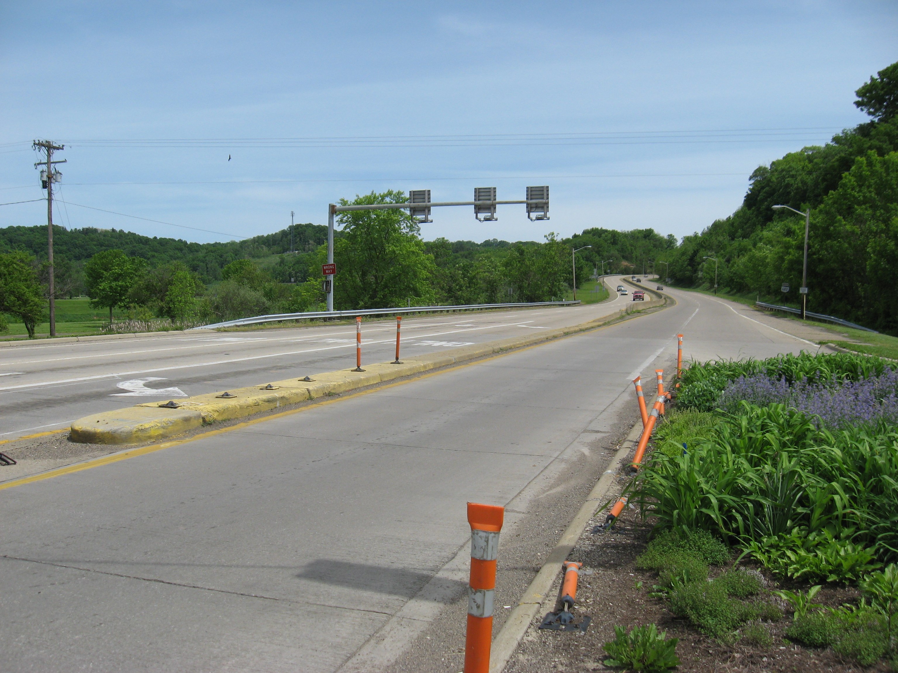
→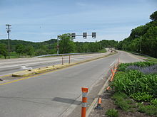 State Route 682 near Athens
State Route 682 (SR 682, OH 682) is a north–south state highway in the southeastern portion of the U.S. state of Ohio. The southern terminus of State Route 682 is at a trumpet interchange with the triplex of U.S. Route 33, U.S. Route 50 and State Route 32 triplex in Athens. Its northern terminus is at State Route 13 in the village of Chauncey, Ohio.
State Route 682, which debuted in the late 1930s, exists entirely within Athens County, and serves as a southern bypass for the city of Athens. It passes near the main campus of Ohio University.
Contents
Route description
The entirety of State Route 682 is located in the central part of Athens County. It is not a component of the National Highway System, a system of highways deemed most important for the economy, mobility and defense of the nation.[2]
History
When it was established in 1937, State Route 682 ran from the State Route 56 junction just southwest of Athens to the point where State Route 682 currently meets the connector road to U.S. Route 33 just southwest of Chauncey, and northwest of where State Route 682 crosses over the Hocking River. At the time, this was where State Route 682 met the predecessor to what would later become the first routing of U.S. Route 33 through this area, known at the time as State Route 31.[3][4] By 1961, a new stretch of expressway opened to the south of Chauncey. A re-routing of U.S. Route 33 out of Chauncey and onto this new expressway resulted in an extension of State Route 682 northeasterly into the village along the former two-lane routing of U.S. Route 33 up to the state highway's current northern terminus at the State Route 13 junction (the remainder of the old 33 became an extension for State Route 13).[5][6] By 1969, State Route 682 was extended southeasterly through Athens to its current southern terminus at the triplex of U.S. Route 33, U.S. Route 50 and State Route 32.[7][8]
Major intersections
The entire route is in Athens County.
Location Mile[1] Destinations Notes Athens Township 0.00 US 33
US 50
SR 32Southern terminus at trumpet interchange. 2.07  SR 56
SR 56Signalized intersection marking eastern terminus of SR 56. Dover Township 6.11 US 33Diamond interchange. Chauncey 7.75 SR 13Northern terminus. 1.000 mi = 1.609 km; 1.000 km = 0.621 mi References
- ^ a b Ohio Department of Transportation. "Technical Services Straight Line Diagrams". http://www.odotonline.org/techservapps/SLD/default.htm. Retrieved 2008-05-07.
- ^ Federal Highway Administration (December 2003) (PDF). National Highway System: Ohio (Map). http://www.fhwa.dot.gov/planning/nhs/maps/oh/oh_Ohio.pdf. Retrieved 2010-11-16.
- ^ Ohio Department of Transportation (1936). Ohio State Map (Map).
- ^ Ohio Department of Transportation (1937). Ohio State Map (Map).
- ^ Ohio Department of Transportation (1959). Ohio State Map (Map).
- ^ Ohio Department of Transportation (1961). Ohio State Map (Map).
- ^ Ohio Department of Transportation (1967). Ohio State Map (Map).
- ^ Ohio Department of Transportation (1969). Ohio State Map (Map).
Categories:- State highways in Ohio

Wikimedia Foundation. 2010.