- Ohio State Route 31
-
State Route 31
Route information Maintained by ODOT Length: 32.12 mi[2] (51.69 km) Existed: 1926[1] – present Major junctions South end:  SR 38 in Marysville
North end:  US 68 in Kenton
Location Counties: Union, Hardin Highway system Ohio highways
Interstates • U.S. Routes • State Routes←  SR 29
SR 29SR 32  →
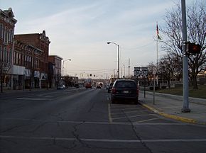
→ Southern terminus in Marysville.
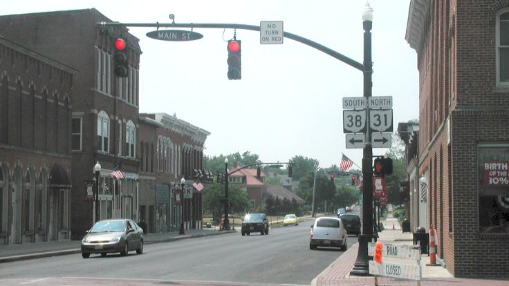
 Near the northern terminus in Kenton.
State Route 31 is an Ohio state highway that currently runs from Marysville to Kenton. Before 1938, however, it stretched far longer, from Pomeroy on the Ohio River to Findlay.
Contents
Route description
History
- 1924: Route 21 established from Pomeroy to Findlay.[3][4]
- 1926: Route 21 renumbered as SR 31 to avoid confusion with US 21.[1][3]
- 1932: SR 10 assigned concurrently with SR 31 from Kenton to Findlay.[1]
- 1933: SR 10 replaced with US 68.[1]
- 1938: US 33 established along SR 31 between Marysville and Marble Cliff, and between Columbus and Pomeroy. SR 31 truncated to new southern terminus at Columbus.[1]
- 1943: SR 31 truncated to new southern terminus at Marysville, eliminating US 33 concurrency.[1]
- 1952: SR 31 truncated to new northern terminus at Kenton, eliminating US 68 concurrency.[1]
Major intersections
County Location Mile Destinations Notes Union Marysville 0.0 SR 38Northern terminus of SR 38 0.4 Main Street Former routing of SR 4 1.4  US 33
US 33  US 36
US 36  SR 4
SR 4Broadway 7.8  SR 347
Summersville 11.9  SR 47
SR 47Byhalia 15.6  SR 739
16.2 SR 739Hardin Mount Victory 2.4  SR 273
eastern terminus of SR 273 Kenton 10.2  SR 292
northern terminus of SR 292 11.1  SR 53
SR 5311.5  SR 309
11.6  SR 67
SR 6711.7 SR 5311.8 US 681.000 mi = 1.609 km; 1.000 km = 0.621 mi References
- ^ a b c d e f g Route 31 John Simpson's Unofficial Ohio State Highways Web Site
- ^ All mileages from ODOT Straight Line Diagrams unless otherwise noted.
- ^ a b Explanation of the Ohio State Highway System John Simpson's Unofficial Ohio State Highways Web Site
- ^ Route 21 John Simpson's Unofficial Ohio State Highways Web Site
Categories:- State highways in Ohio
- Transportation in Union County, Ohio
- Transportation in Hardin County, Ohio


Wikimedia Foundation. 2010.