- Netcher Road Covered Bridge
-
Netcher Road Bridge 
Locale Ashtabula County, Ohio, United States Design single span, timber arch with inverted Haupt walls Total length 110 feet (33.5 m) Constructed by John Smolen, Jr. Construction begin 1998 
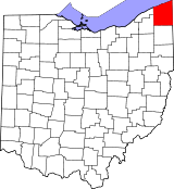
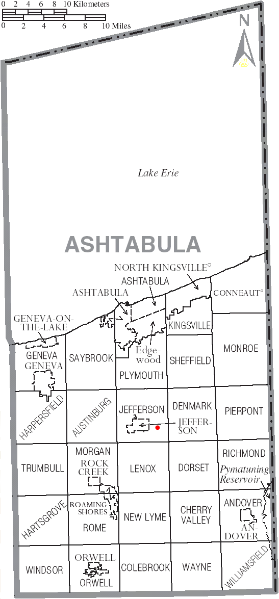
Netcher Road Bridge is a covered bridge spanning water in Jefferson Township, Ashtabula County, Ohio, United States. The bridge, one of the newest and one of currently 16 drivable covered bridges in the county, is a single span constructed of timber arches with inverted Haupt walls, in a "Neo-Victorian" design. It was built in 1998, and it was funded by an ODOT Timber Grant.[1] The bridge’s WGCB number is 35-04-63,[2] and it is located at 41°44′13.416″N 80°43′54.084″W / 41.73706°N 80.73169°W (41.73706, 80.73169)[3] approximately 2.0 mi (3.2 km) east of Jefferson.
Contents
Directions to bridge
- From State Route 11, exit at State Route 167 and head west approximately 0.9 miles.
- Turn left (south) on Garrett Road (C-295) and continue 0.8 miles.
- Turn left (southeast) on South Denmark Road (C-291) and continue 0.1 miles.
- Turn left (east) on Netcher Road (T-292) and continue 0.1 miles to the bridge.[4]
History
- 1998 – Bridge constructed.[1]
Dimensions
- Length: 110 feet (33.5 m)
- Width: 22 feet (6.7 m)
Gallery
-

View from the southwest
-

Western approach
-

Interior featuring timber arch
See also
References
- ^ a b http://www.coveredbridgefestival.org/bridges.htm Ashtabula County Ohio Covered Bridge Festival
- ^ http://www.dalejtravis.com/bridge/ohio/htm/3500463.htm Ohio Covered Bridges List, 35-04-63
- ^ http://mapper.acme.com/?ll=41.73706,-80.73169&z=14&t=H ACME Mapper 2.0
- ^ http://local.live.com/default.aspx?v=2&cp=41.744077~-80.722858&style=r&lvl=14&tilt=-90&dir=0&alt=-1000&rtp=pos.qyrp6k886n8w_Origin~pos.qypk7j8853th_Destination Windows Live Local
External links
- Netcher Road Covered Bridge is at coordinates 41°44′13″N 80°43′54″W / 41.73706°N 80.73169°WCoordinates: 41°44′13″N 80°43′54″W / 41.73706°N 80.73169°W
- Ohio Covered Bridges List
- Ohio Covered Bridge Homepage
- The Covered Bridge Numbering System
- Ohio Historic Bridge Association
- Netcher Road Covered Bridge from Ohio Covered Bridges, Historic Bridges
Categories:- Covered bridges in Ashtabula County, Ohio
- Bridges completed in 1998
- Road bridges in Ohio


Wikimedia Foundation. 2010.