- Necker Island (Northwestern Hawaiian Islands)
-
Necker Island Archeological District
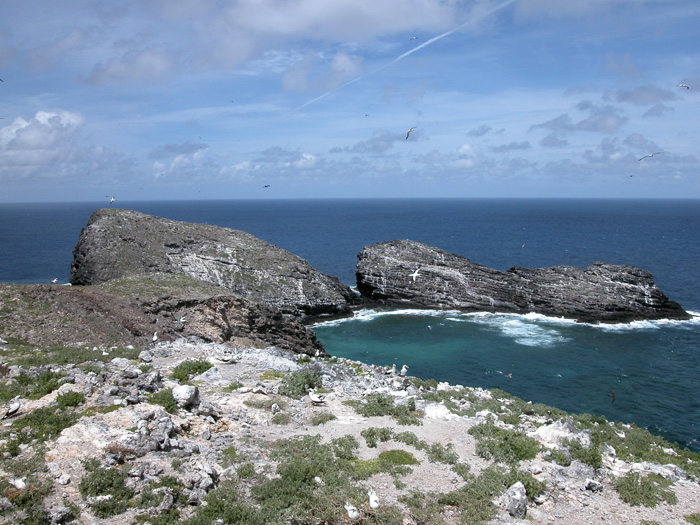
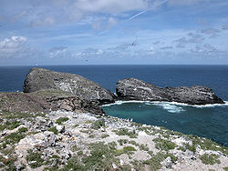 On top of Mokumanamana
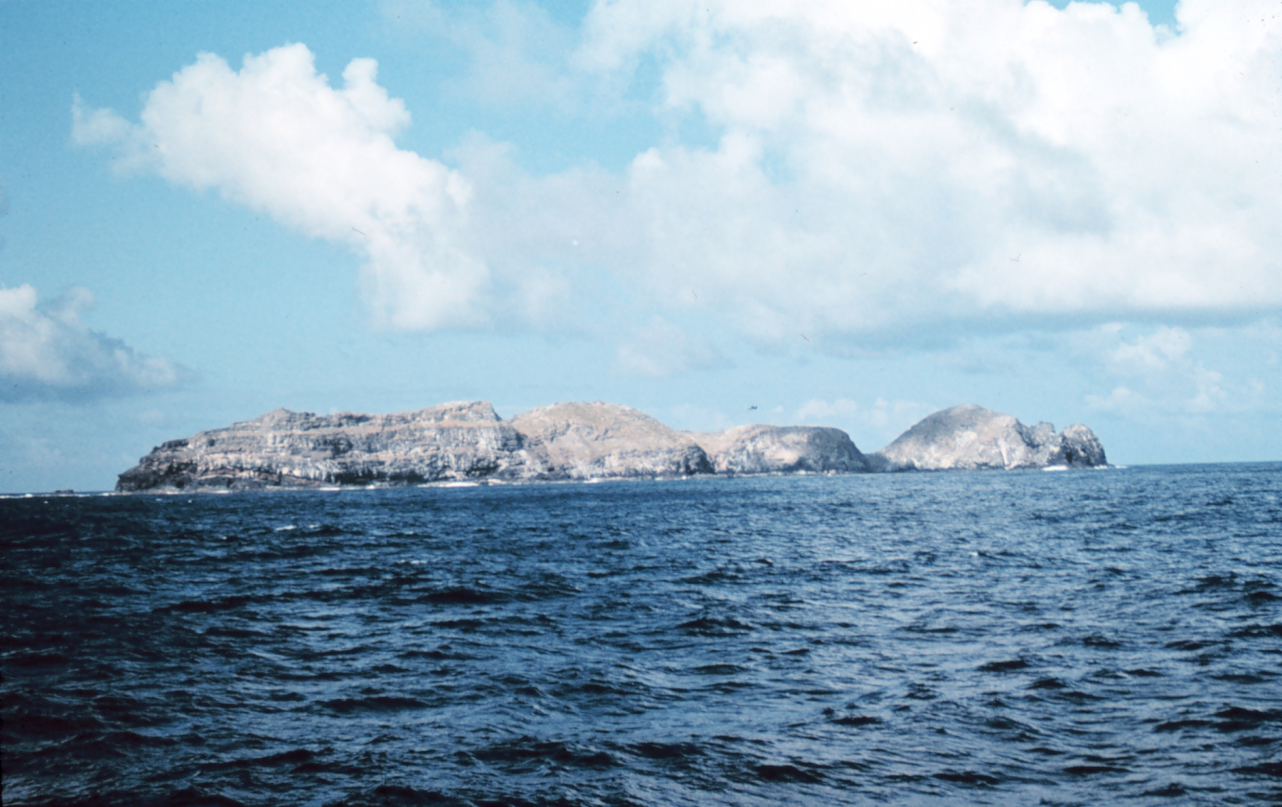
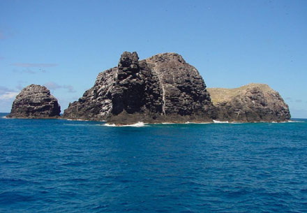
Nearest city: Kauai, Hawaii Area: 45.193 acres (182,890 m2) Governing body: FISH AND WILDLIFE SERVICE NRHP Reference#: 88000641[1] Added to NRHP: June 13, 1988 Necker Island (Hawaiian: Mokumanamana) is a small island in the Pacific Ocean, 8 miles (7.0 nmi; 13 km) north of the Tropic of Cancer, located at 23°34′N 164°42′W / 23.567°N 164.7°WCoordinates: 23°34′N 164°42′W / 23.567°N 164.7°W. It is part of the Northwestern Hawaiian Islands, located 155 miles (135 nmi; 249 km) northwest of Nihoa and 430 miles (370 nmi; 690 km) northwest of Honolulu, and is part of the Hawaiian Islands National Wildlife Refuge within the Northwestern Hawaiian Islands National Monument.
The United States Census Bureau reports its land area as 182,890 square meters, or 45.193 acres (182,890 m2). The island is rocky with steep sides and has very little soil. Its highest elevation is 277 feet (84 m).
Contents
Description
Few signs of long-term human habitation have been found. However, the island contains 33 stone shrines and stone artifacts much like those found in the main Hawaiian Islands. Because of this, many anthropologists believe that the island was a ceremonial and religious site. According to the myths and legends of the people of Kauai, which lies to the southeast, Necker Island was the last known refuge for a race of mythical "little people" called the Menehune. According to the legend, the Menehune settled on Necker after being chased off Kaua'i by the stronger Polynesians and subsequently built the various stone structures there. Visits to the island are said to have started a few hundred years after the main Hawaiian Islands were inhabited, and ended a few hundred years before European contact. French explorer Jean-François de La Pérouse was the first European to visit the island, in 1786. The island is named after Jacques Necker. The islands were formally annexed in 1894 by the Provisional Government of Hawaii.
Because of the island's usage by Native Hawaiians as a ceremonial and religious site in Ancient Hawaii, the island was added to the National Register of Historic Places in 1988.
Gallery
-
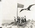
Annexation ceremony of Mokumanamana (Necker Island) for the Provisional Government of Hawaii, May 27, 1894
-
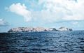
Necker Island, Hawaii
-

References
- ^ "National Register Information System". National Register of Historic Places. National Park Service. 2007-01-23. http://nrhp.focus.nps.gov/natreg/docs/All_Data.html.
Further reading
- Evenhuis, Neal L. (ed.); Eldredge, Lucius G. (ed.) (2004). Natural History of Nihoa and Necker Islands. Bishop Museum Bulletin in Cultural and Environmental Studies; No. 1. Honolulu, Hawaii: Bishop Museum Press. ISBN 1-58178-029-X.
- "Necker Island". The Columbia Gazetteer of North America. Columbia University Press. 2000. http://www.bartleby.com/69/77/N01677.html.
- Necker Island: Block 1001, Block Group 1, Census Tract 114.98, Honolulu County, Hawaii, United States Census Bureau.
External links
- Necker Island
- Quick Facts on Necker Island from the PBS Ocean Adventures site
- NOAA Essay
- Northwest Hawaiian Islands Multi-Agency Education Project "Necker Island"
- Papahānaumokuākea Marine National Monument Information Management System
Categories:- Northwestern Hawaiian Islands
- Buildings and structures on the National Register of Historic Places in Hawaii
- Archaeological sites in Hawaii
- Hawaii geography stubs
- Western National Register of Historic Places stubs
-


Wikimedia Foundation. 2010.