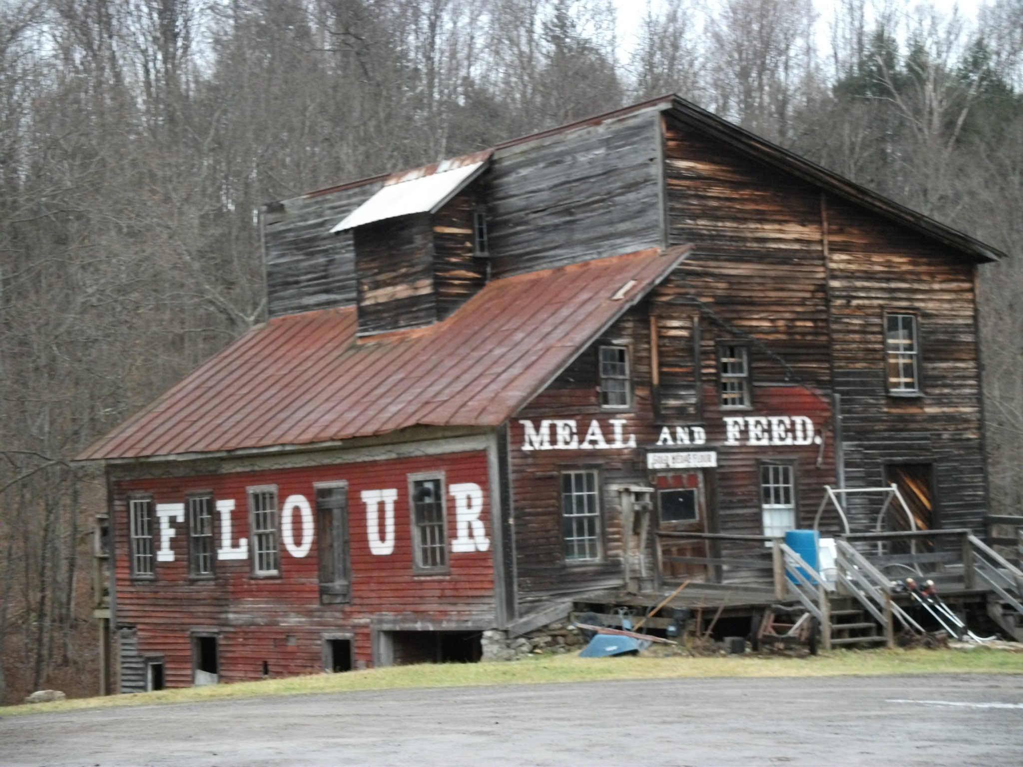
- Cold Brook Feed Mill
-
Cold Brook Feed Mill
 Cold Brook Feed Mill, January 2011
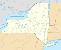

Location: NY 8, Cold Brook, New York Coordinates: 43°14′23″N 75°2′29″W / 43.23972°N 75.04139°WCoordinates: 43°14′23″N 75°2′29″W / 43.23972°N 75.04139°W Area: less than one acre Built: 1857 Architect: Torrey, Ira Governing body: Private NRHP Reference#: 74001243[1] Added to NRHP: October 9, 1974 Cold Brook Feed Mill is a historic grist mill located at Cold Brook in Herkimer County, New York. It includes the mill, mill dam, flume, and land on both sides of the stream between the mill and dam. The mill is a simple wood frame structure built in 1857. The main block is two story, square structure with a shed roof, and attached is a one story, plus basement, lean-to, added after 1857. It is equipped with the original water powered stone grinder and corn sheller.[2]
It was listed on the National Register of Historic Places in 1974.
References
- ^ "National Register Information System". National Register of Historic Places. National Park Service. 2009-03-13. http://nrhp.focus.nps.gov/natreg/docs/All_Data.html.
- ^ Doris Vanderlipp Manley (December 1973). "National Register of Historic Places Registration: Cold Brook Feed Mill". New York State Office of Parks, Recreation and Historic Preservation. http://www.oprhp.state.ny.us/hpimaging/hp_view.asp?GroupView=2769. Retrieved 2010-01-08. See also: "Accompanying 10 photos". http://www.oprhp.state.ny.us/hpimaging/hp_view.asp?GroupView=2770.
Categories:- Industrial buildings and structures on the National Register of Historic Places in New York
- Buildings and structures completed in 1857
- Buildings and structures in Herkimer County, New York
- Adirondack Mountains, New York Registered Historic Place stubs


Wikimedia Foundation. 2010.