- Monmouth, Oregon
-
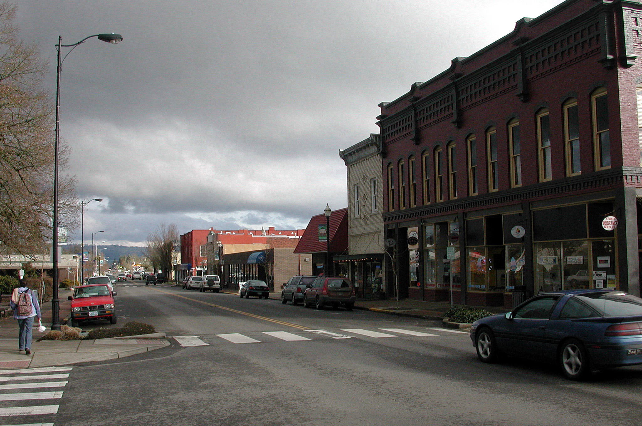
Monmouth, Oregon — City — Main Street looking east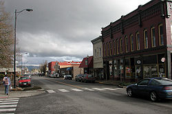 Location in Oregon
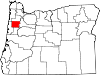
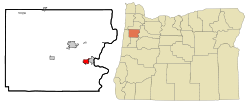
Coordinates: 44°50′57″N 123°13′48″W / 44.84917°N 123.23°W Country United States State Oregon County Polk Incorporated 1859 Government – Mayor John Oberst Area – Total 1.9 sq mi (5.0 km2) – Land 1.9 sq mi (5.0 km2) – Water 0 sq mi (0 km2) Elevation 214 ft (65.2 m) Population (2000) – Total 7,741 – Density 4,004.3/sq mi (1,548.6/km2) Time zone Pacific (UTC-8) – Summer (DST) Pacific (UTC-7) ZIP code 97361 Area code(s) 503 FIPS code 41-49550[1] GNIS feature ID 1163156[2] Website www.ci.monmouth.or.us Monmouth (
 /ˈmɒnməθ/ is a city in Polk County, Oregon, United States. It was named for Monmouth, Illinois, the origin of its earliest settlers. The population has reached 9,726 as of the 2010 census, It is part of the Salem Metropolitan Statistical Area.
Contents
History
Monmouth was settled in 1853 by a group of pioneers who made a point of allocating 640 acres (2.6 km2) to build both a city and a "college under the auspices of the Christian Church" and proceeds from the sale of these lands were used to found Monmouth University.[3] By the early 1880s the college fell on hard times. In 1882, ownership was transferred to the State of Oregon and it was renamed Oregon State Normal School at Monmouth. It is now known as Western Oregon University.
For decades, Monmouth was a dry town that banned the sale of alcoholic beverages in supermarkets, restaurants and bars. Monmouth's status as the last dry town in Oregon was ended by a popular vote in the November 2002 election.[4] Spurred on by the closure of Monmouth's last grocery store, and a general decline of its retail sector, three local men (John Oberst, Paul Sieber, and Chuck Sheffield) led a referendum campaign to allow the sale of beer and wine. The measure passed 57-43%.
History of Prohibition in Monmouth
Monmouth, Oregon was settled by Elijah Davidson and his Family. Originally a member of the Christian Church of Cameron (Monmouth, Illinois), Davidson was a devout advocate of prohibition. In 1852, sixty-three-year-old Elijah Davidson and his family set out for Oregon Territory By 1854, more than a dozen Disciples families from Monmouth, many of them related to each other or to Davidson, had joined him.[5] In February 1859, Davidson and other trustees efforts to prohibit the importation, exportation, sale, and consumption of alcohol in Monmouth became a reality. One of the main arguments Davidson and his fellow religious supporters used to push prohibition legislation was, "to enable them to suppress and prevent nuisances, to render the possession of life and property more secure, [and] to enable them to improve and embellish the streets of the town." [5]
Despite the incredible efforts of certain merchants to repeal prohibition in Monmouth throughout its history, their efforts proved useless. What was most important to the local religious community was to keep prohibition around for the betterment of the social order of Monmouth. Although opponents raised religious, moral, economic, and quality-of-life arguments similar to those preached during the nineteenth century, they also brought two new arguments to center stage: the historic nature of Monmouth's prohibition and the uniqueness that local prohibition brought to the town.[5]
Eventually, as time went on, prohibition ordinance started to take flight throughout the local community of Monmouth. Although support of prohibition came in large numbers in Monmouth, there were signs that it was starting to become more and more detrimental to the social, economic, and religious aspects of the community. Some claim that prohibition had reduced property values, and one rumor predicted that university tuition would increase if the ordinance was repealed.[5]
In November 2002, prohibition was repealed through the election, and Monmouth ended its long tenure as the "Dryest Town in the U.S."
Geography
It is about 15 miles (24 km) west of Salem, Oregon on Oregon Route 99W.
According to the United States Census Bureau, the city has a total area of 1.9 square miles (4.9 km2), all of it land.[6]
Demographics
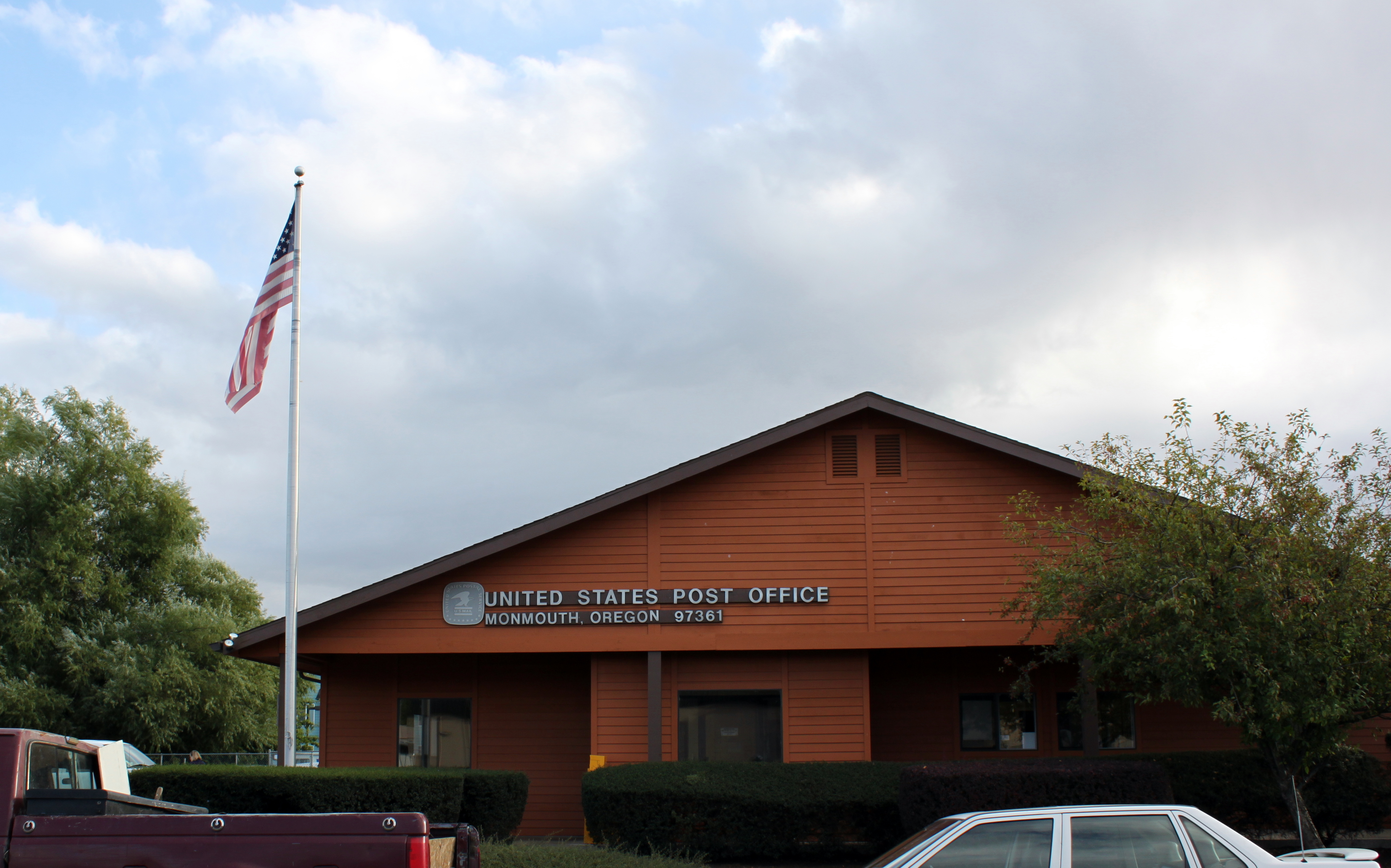
 Post office in Monmouth
As of the census[1] of 2000, there were 7,741 people, 2,757 households, and 1,488 families residing in the city. The population density was 4,004.3 people per square mile (1,548.6/km²). There were 2,934 housing units at an average density of 1,517.7 per square mile (587.0/km²). The racial makeup of the city was 85.67% White, 0.92% African American, 1.05% Native American, 2.04% Asian, 0.74% Pacific Islander, 6.21% from other races, and 3.37% from two or more races. Hispanic or Latino of any race were 9.73% of the population.
There were 2,757 households out of which 26.6% had children under the age of 18 living with them, 41.7% were married couples living together, 9.4% had a female householder with no husband present, and 46.0% were non-families. 24.4% of all households were made up of individuals and 7.5% had someone living alone who was 65 years of age or older. The average household size was 2.50 and the average family size was 3.03.
In the city the population was spread out with 19.5% under the age of 18, 35.9% from 18 to 24, 21.2% from 25 to 44, 14.5% from 45 to 64, and 8.9% who were 65 years of age or older. The median age was 23 years. For every 100 females there were 86.9 males. For every 100 females age 18 and over, there were 81.3 males.
The median income for a household in the city was $32,256, and the median income for a family was $48,600. Males had a median income of $33,500 versus $25,185 for females. The per capita income for the city was $14,474. About 7.1% of families and 24.6% of the population were below the poverty line, including 14.1% of those under age 18 and 5.6% of those age 65 or over.
Economy
Monmouth's economy has long been driven by the university and by agriculture.[citation needed] In recent years, however, Monmouth has increasingly become a bedroom community for Salem, Corvallis, and even Albany and Portland.
Parks and recreation
Gentle Woods Park is located near Highway 99W in north Monmouth. It offers play space, a new play structure, and a large covered picnic area. Ash Creek flows through the park. Gentle Woods Park hosts the city-sponsored Easter Egg Hunt each spring.
Main Street Park is nearly a full block in size, and is located in the heart of downtown. It features a fountain, gazebo, and play structures. The city has adopted a park master plan that includes the development of a performance space.
The southeast section of the city features Madrona Park. Largely undeveloped as of 2010, the master plan calls for the development of an arboretum, walking and running trails, and a dual use youth soccer/baseball field. A small performance space is also planned for this park.
Education
Monmouth is served by the Central School District and is the home of Western Oregon University.
See also
References
- ^ a b "American FactFinder". United States Census Bureau. http://factfinder.census.gov. Retrieved 2008-01-31.
- ^ "US Board on Geographic Names". United States Geological Survey. 2007-10-25. http://geonames.usgs.gov. Retrieved 2008-01-31.
- ^ McArthur, Lewis A.; Lewis L. McArthur (2003) [1928]. Oregon Geographic Names (Seventh Edition ed.). Portland, Oregon: Oregon Historical Society Press. ISBN 0-87595-277-1.
- ^ Richard, Terry (July 3, 2005). "Family adventure; Stage-struck". The Oregonian: pp. TDNW1.
- ^ a b c d Jansson, Kyle R.. "The Changing Climate of Oregon's Driest Town: Monmouth's Prohibition Ordinances." Oregon Historical Quarterly 102, no. 3 (2001): 336-351. www.jstor.org (accessed January 30, 2011).
- ^ "US Gazetteer files: 2010, 2000, and 1990". United States Census Bureau. 2011-02-12. http://www.census.gov/geo/www/gazetteer/gazette.html. Retrieved 2011-04-23.
Further reading
- McArthur, Scott. Monmouth, Oregon: the Saga of a Small American Town. Rickreall, Oregon: Polk County History Museum, 2004
External links
 Media related to Monmouth, Oregon at Wikimedia Commons
- Entry for Monmouth in the Oregon Blue Book
- Historic photos of Monmouth from Salem Public Library
- Religious history of Monmouth from Northwest College of the Bible
Coordinates: 44°50′57″N 123°13′48″W / 44.849153°N 123.230004°W
Municipalities and communities of Polk County, Oregon Cities Dallas | Falls City | Independence | Monmouth | Salem‡ | Willamina‡
CDPs Eola | Grand Ronde | Rickreall
Unincorporated
communitiesAirlie | Ballston | Bethel | Bridgeport | Brunks Corner | Buena Vista | Lewisville | McCoy | Modeville | Pedee | Perrydale | Salt Creek | Valley Junction | Zena
Indian reservation Ghost towns Footnotes ‡This populated place also has portions in an adjacent county or counties
Categories:- Cities in Oregon
- Monmouth, Oregon
- Populated places established in 1853
- Salem, Oregon metropolitan area
- Populated places in Polk County, Oregon


Wikimedia Foundation. 2010.