- Outagamie County, Wisconsin
-
Outagamie County, Wisconsin 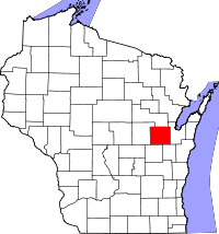
Location in the state of Wisconsin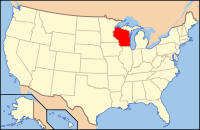
Wisconsin's location in the U.S.Founded 1850 Seat Appleton Area
- Total
- Land
- Water
644 sq mi (1,668 km²)
640 sq mi (1,658 km²)
4 sq mi (10 km²), 0.63%Population
- (2000)
- Density
160,971
251/sq mi (97/km²)Website www.co.outagamie.wi.us Outagamie (
 /ˌaʊtəˈɡæmi/) is a county in the northeast region of the U.S. state of Wisconsin. Its county seat is Appleton.[1] As of the 2009 census estimate, its population was 177,155.[2]
Outagamie County, along with neighboring Calumet County, forms the Appleton, Wisconsin, Metropolitan Statistical Area. Outagamie County is also part of the Appleton-Neenah-Oshkosh Combined Statistical Area, along with adjacent Winnebago County.
Contents
History
"Outagamie," an Anishinaabe term for the Meskwaki (Fox) Indians, translates to "dwellers of other shore" or "dwellers on the other side of the stream."[3]
Geography
According to the U.S. Census Bureau, the county has a total area of 644 square miles (1,668 km2), of which 640 square miles (1,658 km2) is land and 4 square miles (10 km2) is water.
Major highways
 U.S. Highway 41
 U.S. Highway 45
 Wisconsin Highway 15
 Wisconsin Highway 29
 Wisconsin Highway 32
 Wisconsin Highway 47
 Wisconsin Highway 54
Demographics
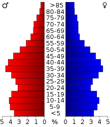 2000 Census Age Pyramid for Outagamie County.
Historical populations Census Pop. %± 1900 46,247 — 1910 49,102 6.2% 1920 55,113 12.2% 1930 62,790 13.9% 1940 70,032 11.5% 1950 81,722 16.7% 1960 101,794 24.6% 1970 119,356 17.3% 1980 128,799 7.9% 1990 140,510 9.1% 2000 160,971 14.6% 2010 176,695 9.8% WI Counties 1900-1990 As of the census[4] of 2000, there were 160,971 people, 60,530 households, and 42,189 families residing in the county. The population density was 251 per square mile (97 /km2). There were 62,614 housing units at an average density of 98 per square mile (38 /km2). The racial makeup of the county was 93.87% White, 0.54% Black or African American, 1.54% Native American, 2.23% Asian, 0.03% Pacific Islander, 0.81% from other races, and 0.98% from two or more races. 1.99% of the population were Hispanic or Latino of any race. 47.7% were of German, 9.4% Dutch, 6.2% Irish and 5.2% American ancestry according to Census 2000.
Of the 60,530 households, 36.00% had children under the age of 18 living with them, 58.90% were married couples living together, 7.60% had a female householder with no husband present, and 30.30% were non-families. 24.20% of all households were made up of individuals and 8.40% had someone living alone who was 65 years of age or older. The average household size was 2.61 and the average family size was 3.14.
By age, 27.70% of the population was under 18, 8.90% from 18 to 24, 31.90% from 25 to 44, 20.70% from 45 to 64, and 10.90% were 65 or older. The median age was 34 years. For every 100 females there were 99.50 males. For every 100 females age 18 and over, there were 96.90 males.
Cities, Villages, and Towns
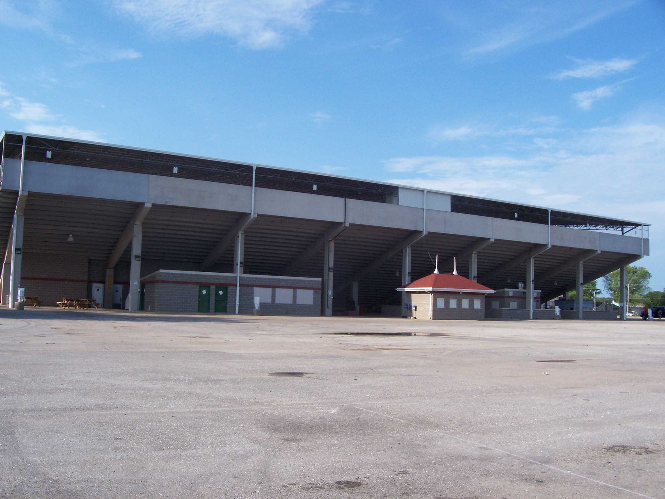
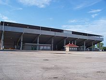 Outagamie County Fairgrounds grandstands in Seymour
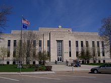 Outagamie County Courthouse
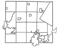 Municipality Boundaries in Outagamie County, Wisconsin
- Cities
- Appleton - County Seat
- Kaukauna
- New London
- Seymour
- Villages
- Bear Creek
- Black Creek
- Combined Locks
- Hortonville
- Howard
- Kimberly
- Little Chute
- Nichols
- Shiocton
- Wrightstown
- Ghost Towns
- Grand Chute
- Lawesburg
- Lime Rock
- Wakefield
- Towns
- Unincorporated Communities
- Apple Creek
- Binghamton
- Center Valley
- Chicago Corners
- Dale
- Darboy
- Five Corners
- Freedom
- Greenville
- Hamples Corner
- Isaar
- Leeman
- Mackville
- Medina
- Murphy Corner
- Oneida
- Stephensville
- Sugar Bush
- Twelve Corners
- Native American Communities
Adjacent counties
- Shawano County - north
- Brown County - east
- Calumet County - southeast
- Winnebago County - southwest
- Waupaca County - west
See also
References
- ^ "Find a County". National Association of Counties. http://www.naco.org/Counties/Pages/FindACounty.aspx. Retrieved 2011-06-07.
- ^ http://factfinder.census.gov/servlet/SAFFPopulation?_event=Search&geo_id=05000US55009&_geoContext=01000US%7C04000US55%7C05000US55009&_street=&_county=Outagamie+County&_cityTown=Outagamie+County&_state=04000US55&_zip=&_lang=en&_sse=on&ActiveGeoDiv=geoSelect&_useEV=&pctxt=fph&pgsl=050&_submenuId=population_0&ds_name=null&_ci_nbr=null&qr_name=null®=null:null&_keyword=&_industry=
- ^ Dictionary of Wisconsin History
- ^ "American FactFinder". United States Census Bureau. http://factfinder.census.gov. Retrieved 2008-01-31.
External links
- Outagamie County government
- Outagamie County entry on Wisconsin Online
- Commemorative Biographical Record of the Fox River Valley Counties of Brown, Outagamie and Winnebago
Appleton/ Fox Cities Metropolitan Area, Wisconsin Central Cities 
Largest Municipalities
Over 10,000 in 2000Grand Chute* | Kaukauna (City)° | Little Chute‡ | Menasha (City)° | Menasha (Town)* | Neenah (City)°Municipalities
Under 10,000 in 2000Apple Creek§ | Buchanan* | Center* | Clayton* | Combined Locks‡ | Darboy§ | Freedom* | Greenville* | Harrison* | Hortonville‡ | Kaukauna (Town)* | Kimberly‡ | Mackville§ | Neenah (Town)* | Sherwood‡ | Vandenbroek* | Woodville*Counties *town ‡village °city §unincorporated community Municipalities and communities of Outagamie County, Wisconsin County seat: Appleton Cities Appleton‡ | Kaukauna | New London‡ | Seymour

Villages Bear Creek | Black Creek | Combined Locks | Hortonville | Howard‡ | Kimberly | Little Chute | Nichols | Shiocton | Wrightstown‡
Towns Black Creek | Bovina | Buchanan | Center | Cicero | Dale | Deer Creek | Ellington | Freedom | Grand Chute | Greenville | Hortonia | Kaukauna | Liberty | Maine | Maple Creek | Oneida | Osborn | Seymour | Vandenbroek
CDP Unincorporated
communitiesApple Creek | Binghamton | Center Valley | Chicago Corners | Darboy‡ | Five Corners | Freedom | Greenville | Hamples Corner | Isaar | Leeman | Mackville | Medina | Murphy Corner | Oneida | Stephensville | Sugar Bush | Twelve Corners
Indian Reservation Ghost towns Grand Chute | Lawesburg | Lime Rock | Wakefield
Categories:- Wisconsin counties
- Outagamie County, Wisconsin
- 1850 establishments in the United States


Wikimedia Foundation. 2010.