- Menominee County, Wisconsin
-
Menominee County, Wisconsin 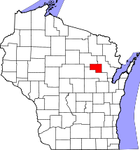
Location in the state of Wisconsin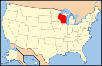
Wisconsin's location in the U.S.Founded July 3, 1959 Seat Keshena Area
- Total
- Land
- Water
365 sq mi (945 km²)
358 sq mi (927 km²)
7 sq mi (18 km²), 1.93%Population
- (2000)
- Density
4,562
13/sq mi (5/km²)Menominee County is a county in the U.S. state of Wisconsin. In 2000, the population was 4,562. Its county seat is Keshena.[1]
The county was created on July 3, 1959, in anticipation of the termination of the Menominee Indian Reservation in 1961. The reservation status was restored in 1973, and is now co-extensive with the county. Most of the land within the county boundary is under Federal Trust for the exclusive use by enrolled Menominee Indians. Scattered parcels that were purchased during Termination, as well as many lots around the Legend Lake area in the southeastern part of the county, are the only parts of the county that are privately-owned by non-Indians.
Most of Menominee County's population consists of Menominees.
Contents
Geography
According to the U.S. Census Bureau, the county has a total area of 365 square miles (950 km2), of which 358 square miles (930 km2) is land and 7 square miles (18 km2) (1.93%) is water.
Adjacent counties
- Oconto County - east
- Shawano County - south
- Langlade County - northwest
Major highways
 Highway 47 (Wisconsin)
 Highway 55 (Wisconsin)
Demographics
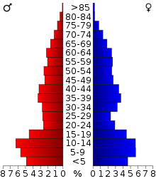 2000 Census Age Pyramid for Menominee County.
Historical populations Census Pop. %± 1970 2,607 — 1980 3,373 29.4% 1990 3,890 15.3% 2000 4,562 17.3% 2010 4,232 −7.2% WI Counties 1900-1990 At the 2000 census[2], there were 4,562 people, 1,345 households and 1,065 families residing in the county. This total makes it the least-populous county in the state. The population density was 13 per square mile (5/km²). There were 2,098 housing units at an average density of 6 per square mile (2/km²). The racial makeup of the county was 11.57% White, 0.07% Black or African American, 87.26% Native American, 0.02% Pacific Islander, 0.33% from other races, and 0.75% from two or more races. 2.67% of the population were Hispanic or Latino of any race. 5.0% were of German ancestry according to Census 2000. 89.8% spoke English, 7.0% Menominee and 1.6% Hmong as their first language.
There were 1,345 households of which 42.20% had children under the age of 18 living with them, 42.50% were married couples living together, 26.60% had a female householder with no husband present, and 20.80% were non-families. 16.50% of all households were made up of individuals and 6.40% had someone living alone who was 65 years of age or older. The average household size was 3.35 and the average family size was 3.66.
Age distribution was 38.90% under the age of 18, 8.40% from 18 to 24, 24.70% from 25 to 44, 19.50% from 45 to 64, and 8.50% who were 65 years of age or older. The median age was 28 years. For every 100 females there were 97.30 males. For every 100 females age 18 and over, there were 92.30 males.
Towns
Menominee County is one of only two counties in Wisconsin with no incorporated communities, the other being Florence County.
- Menominee, town, co-extensive with county
Unincorporated communities

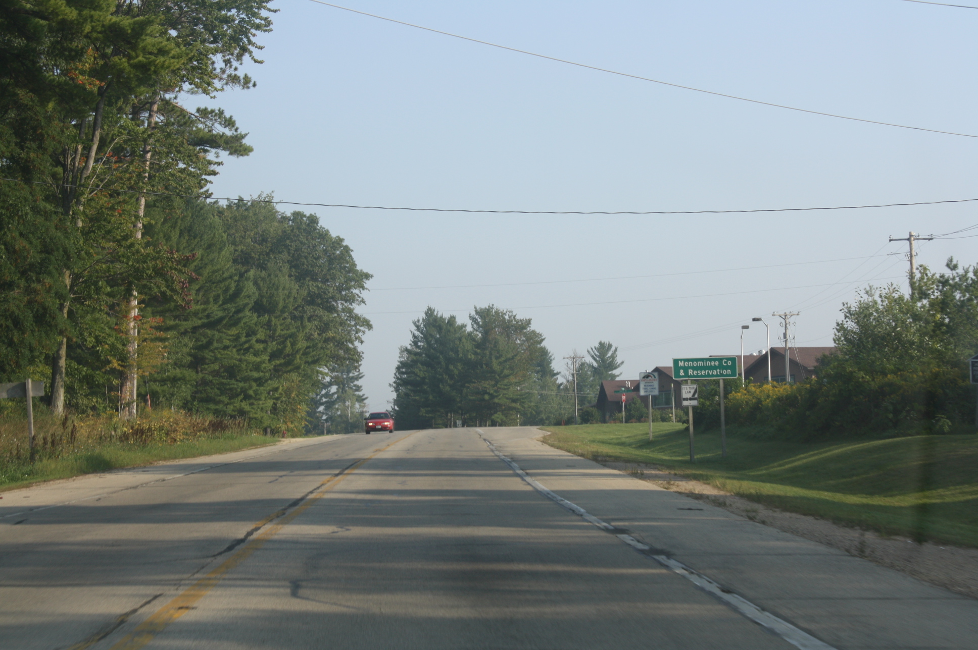
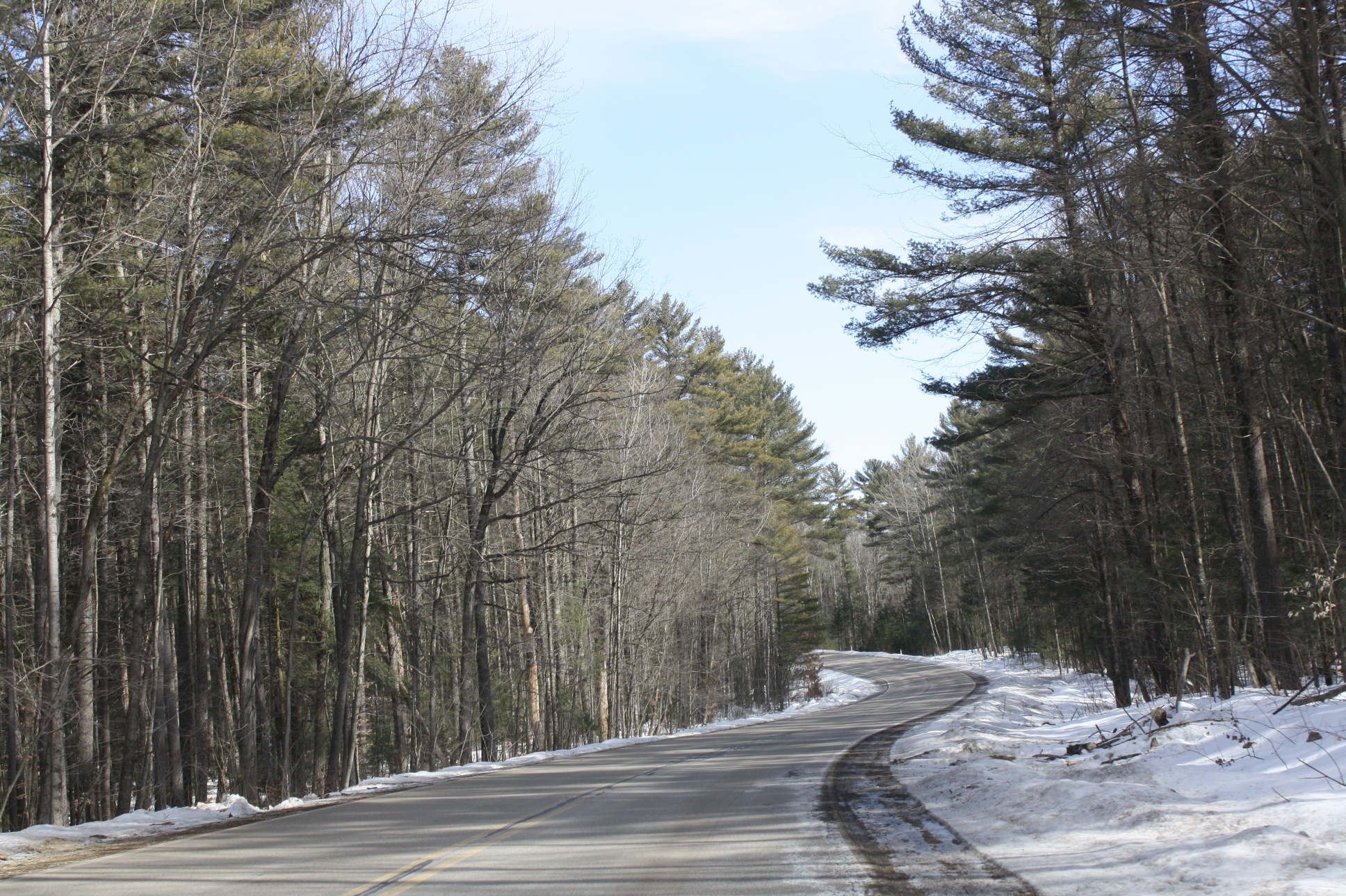
 Woods occupy most of Menominee County
- Keshena, CDP
- Keshena Falls, an unincorporated community
- Legend Lake, CDP
- Middle Village, CDP (partial)
- Neopit, CDP
- Zoar, CDP
Ghost towns
- Perote
See also
References
- ^ "Find a County". National Association of Counties. http://www.naco.org/Counties/Pages/FindACounty.aspx. Retrieved 2011-06-07.
- ^ "American FactFinder". United States Census Bureau. http://factfinder.census.gov. Retrieved 2008-01-31.
External links

Langlade County 
Oconto County  Menominee County, Wisconsin

Shawano County Municipalities and communities of Menominee County, Wisconsin Town 
CDPs Keshena | Legend Lake | Middle Village‡ | Neopit | Zoar
Unincorporated
communityKeshena Falls
Indian reservation Ghost town Perote
Footnotes ‡This populated place also has portions in an adjacent county or counties
Categories:- Wisconsin counties
- Menominee County, Wisconsin
- 1959 establishments
- Counties of the United States with Native American majority populations


Wikimedia Foundation. 2010.