- Keshena, Wisconsin
Infobox Settlement
official_name = Keshena, Wisconsin
settlement_type = CDP
nickname =
motto =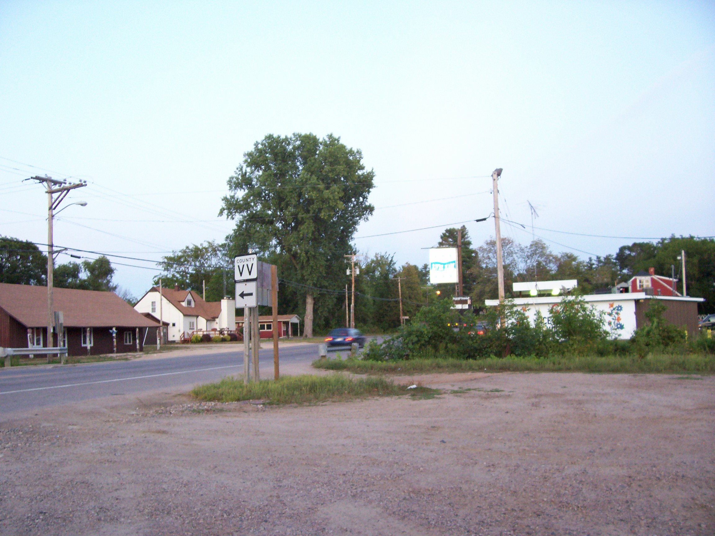
imagesize =
image_caption = Downtown Keshena
image_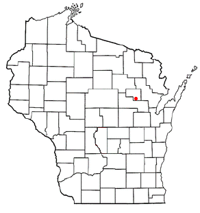
mapsize = 250px
map_caption = Location of Keshena, Wisconsin
mapsize1 =
map_caption1 =subdivision_type = Country
subdivision_name =United States
subdivision_type1 = State
subdivision_name1 =Wisconsin
subdivision_type2 = County
subdivision_name2 = Menomineegovernment_footnotes =
government_type =
leader_title =
leader_name =
leader_title1 =
leader_name1 =
established_title =
established_date =unit_pref = Imperial
area_footnotes =area_magnitude =
area_total_km2 = 21.9
area_land_km2 = 21.9
area_water_km2 = 0.0
area_total_sq_mi = 8.5
area_land_sq_mi = 8.5
area_water_sq_mi = 0.0population_as_of = 2000
population_footnotes =
population_total = 1394
population_density_km2 = 63.6
population_density_sq_mi = 164.7timezone = Central (CST)
utc_offset = -6
timezone_DST = CDT
utc_offset_DST = -5
elevation_footnotes = GR|3
elevation_m = 251
elevation_ft = 823
latd = 44 |latm = 52 |lats = 41 |latNS = N
longd = 88 |longm = 37 |longs = 44 |longEW = Wpostal_code_type =
postal_code = 54135
area_code =
blank_name = FIPS code
blank_info = 55-39250GR|2
blank1_name = GNIS feature ID
blank1_info = 1567430GR|3
website =
footnotes =Keshena is an
unincorporated community in theMenominee Indian Reservation in theU.S. state ofWisconsin . TheU.S. Census Bureau has defined an area around the community as acensus-designated place (CDP) for statistical purposes. It does not have any legal status as an incorporated municipality. The population was 1,394 at the 2000 census. It is thecounty seat of Menominee CountyGR|6.Geography
Keshena is located at coor dms|44|52|41|N|88|37|44|W|city (44.877932, -88.628781)GR|1.
According to the
United States Census Bureau , the CDP has a total area of 8.5square mile s (21.9km² ), of which, 8.5 square miles (21.9 km²) of it is land and 0.12% is water.Demographics
As of the
census GR|2 of 2000, there were 1,394 people, 353 households, and 296 families residing in the CDP. Thepopulation density was 164.7 people per square mile (63.5/km²). There were 376 housing units at an average density of 44.4/sq mi (17.1/km²). The racial makeup of the CDP was 3.08% White, 0.14% African American, 95.98% Native American, 0.07% Pacific Islander, 0.07% from other races, and 0.65% from two or more races. Hispanic or Latino of any race were 2.73% of the population.There were 353 households out of which 58.1% had children under the age of 18 living with them, 31.2% were married couples living together, 40.5% had a female householder with no husband present, and 16.1% were non-families. 13.9% of all households were made up of individuals and 6.5% had someone living alone who was 65 years of age or older. The average household size was 3.85 and the average family size was 4.07.
In the CDP the population was spread out with 46.1% under the age of 18, 9.3% from 18 to 24, 26.1% from 25 to 44, 13.2% from 45 to 64, and 5.3% who were 65 years of age or older. The median age was 20 years. For every 100 females there were 101.2 males. For every 100 females age 18 and over, there were 89.6 males.
The median income for a household in the CDP was $19,792, and the median income for a family was $20,526. Males had a median income of $22,115 versus $20,170 for females. The
per capita income for the CDP was $8,578. About 43.9% of families and 45.8% of the population were below thepoverty line , including 57.7% of those under age 18 and 32.1% of those age 65 or over.References
External links
Wikimedia Foundation. 2010.