- De Pere, Wisconsin
-
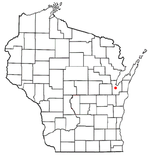
De Pere, Wisconsin — City —  Location of De Pere in Wisconsin
Coordinates: 44°26′46″N 88°4′27″W / 44.44611°N 88.07417°WCoordinates: 44°26′46″N 88°4′27″W / 44.44611°N 88.07417°W Country United States State Wisconsin County Brown Incorporated 1857 Government – Mayor Mike Walsh Area – Total 11.3 sq mi (29.3 km2) – Land 10.6 sq mi (27.5 km2) – Water 0.7 sq mi (1.8 km2) Elevation 600 ft (183 m) Population (2000) – Total 20,559 – Density 1,938.4/sq mi (748.2/km2) Time zone Central (UTC-6) – Summer (DST) CDT (UTC-5) Area code(s) 920 FIPS code 55-19775[1] GNIS feature ID 1563754[2] Website www.de-pere.org  City Hall
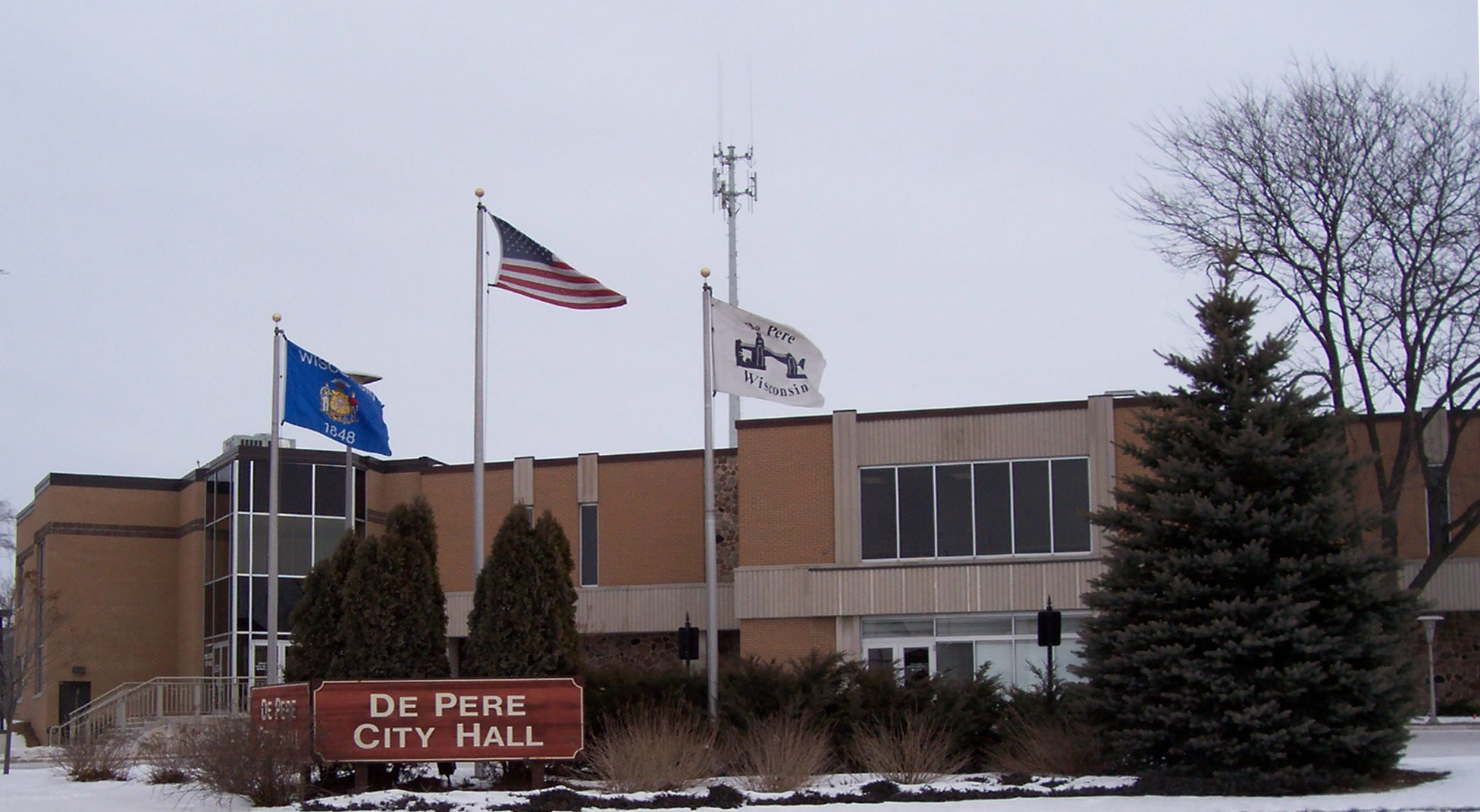
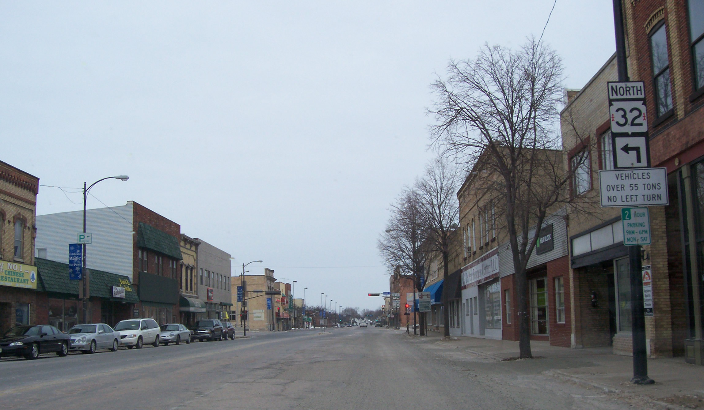
 Downtown De Pere
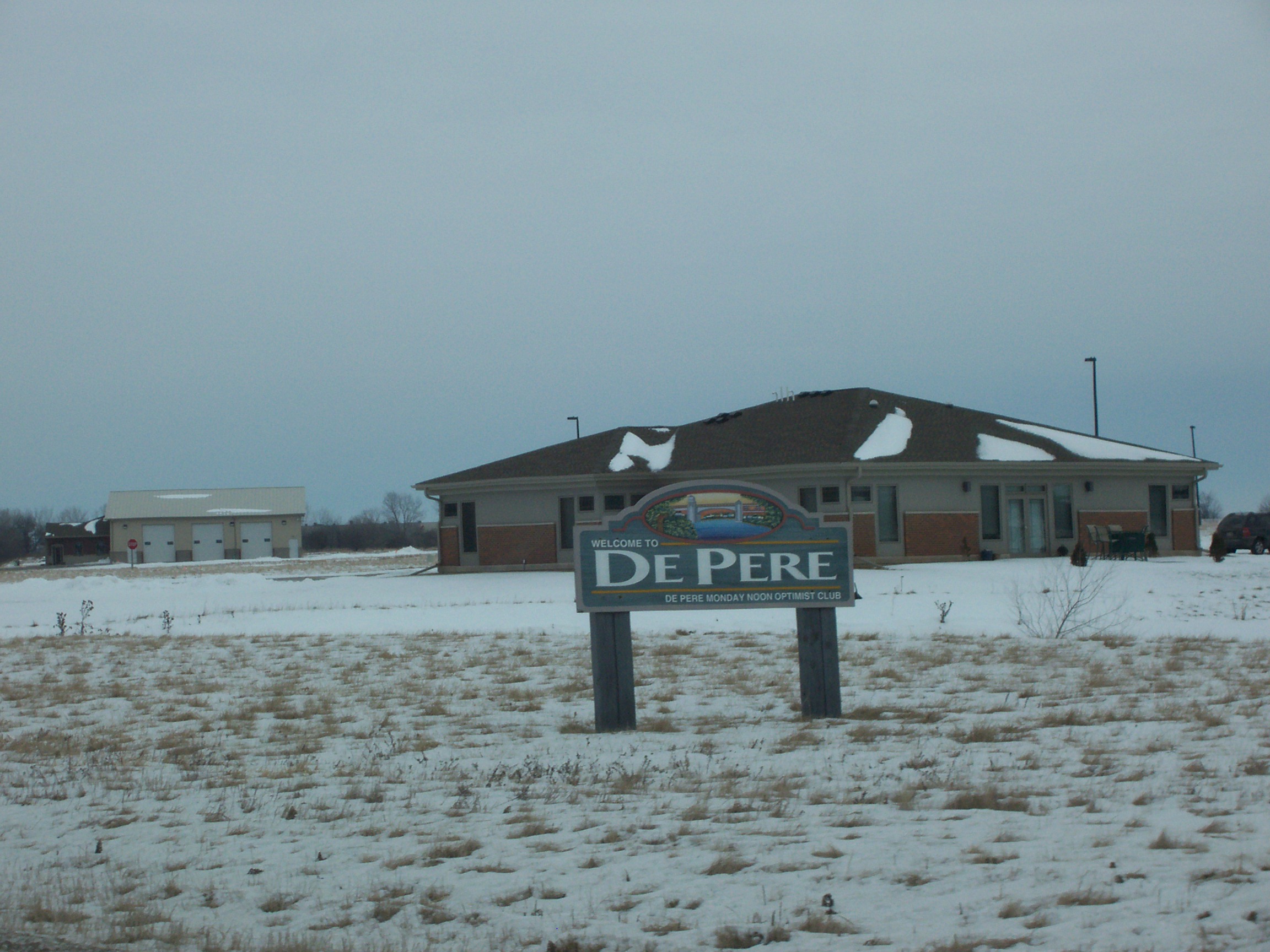
 Welcome sign
 A home the North Broadway Street Historic District in DePere, Wisconsin
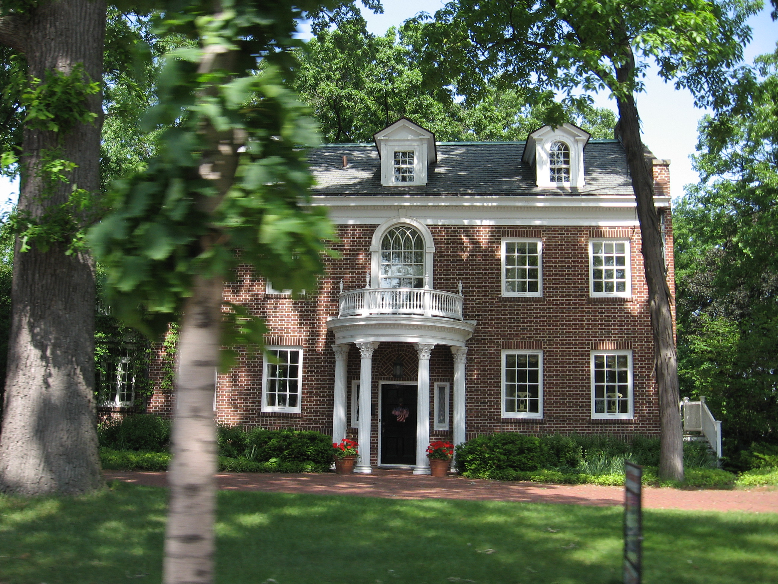
De Pere is a city located in Brown County, Wisconsin, United States. The population was 20,559 at the 2000 census. De Pere is a suburb of Green Bay and is part of the Green Bay Metropolitan Statistical Area.
Contents
Registered historic places
De Pere has two areas on the National Register of Historic Places. North Broadway Street Historic District is listed as #83003368. Large homes line Broadway, Ridgeway Blvd., Morris, Fulton, Franklin, Cass, Front, and Wisconsin Streets near the Fox River.[3]
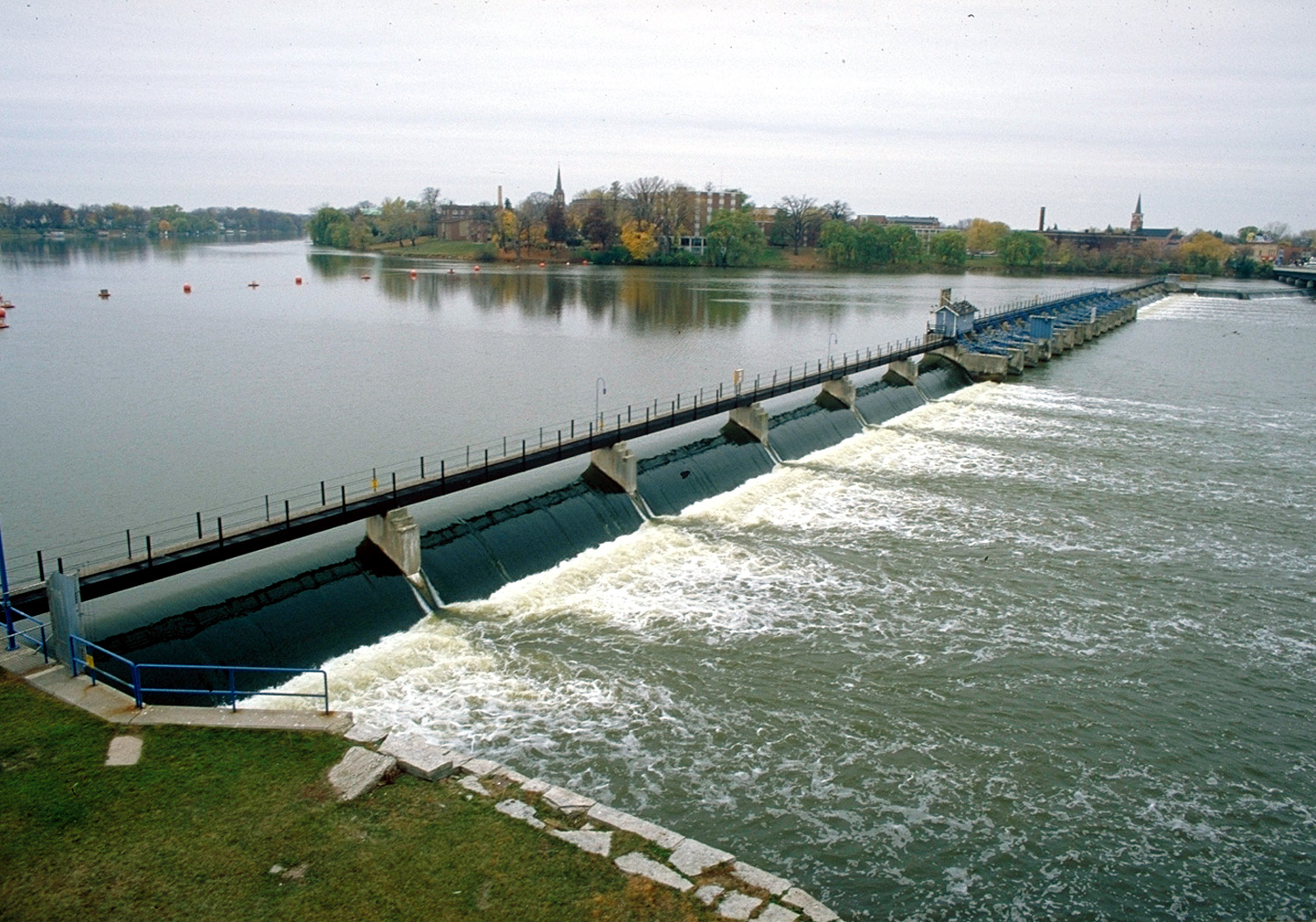
The De Pere Lock and Dam Historic District (#93001331) was added in 1993.[4]
History
In 1671 French Jesuit explorer Père Claude-Jean Allouez founded the St. Francis Xavier Mission at the last set of rapids on the Fox River before entering Lake Michigan. The site was known as Rapides Des Pères (rapids of the fathers) which became modern day De Pere.
Originally De Pere consisted of only the community on the east side of the river; however, in 1890 the City of West De Pere, on the west side of the river, consolidated with the city of De Pere to form one community.
St. Norbert College, which abuts the banks of the Fox River on the city's west side near the Claude Allouez Bridge, was founded by Norbertine Abbot Pennings in 1898.
Geography
De Pere is located at 44°26′46″N 88°4′27″W / 44.44611°N 88.07417°W (44.4460910,-88.0740510).[5]
According to the United States Census Bureau, the city has a total area of 11.4 square miles (29.3 km²), of which, 10.6 square miles (27.5 km²) of it is land and 0.7 square miles (1.8 km²) of it is water. The total area is 6.87% water.
Demographics
As of the census of 2000,[1] there were 20,559 people, 7,724 households, and 5,020 families reside in the city. The population density was 1,938.4 people per square mile (748.2/km²). There were 7,993 housing units at an average density of 753.6 per square mile (290.9/km²). The racial makeup of the city was 96.71% White, 0.54% African American, 0.92% Native American, 0.75% Asian, 0.03% Pacific Islander, 0.19% from other races, and 0.86% from two or more races. Hispanic or Latino of any race were 0.98% of the population.
There were 7,724 households out of which 33.9% had children under the age of 18 living with them, 54.2% were married couples living together, 7.7% had a female householder with no husband present, and 35.0% were non-families. 27.6% of all households were made up of individuals and 10.5% had someone living alone who was 65 years of age or older. The average household size was 2.46 and the average family size was 3.04.
In the city the population was spread out with 24.5% under the age of 18, 14.8% from 18 to 24, 30.8% from 25 to 44, 18.5% from 45 to 64, and 11.4% who were 65 years of age or older. The median age was 32 years. For every 100 females there were 93.6 males. For every 100 females age 18 and over, there were 89.6 males.
The median income for a household in the city was $50,282, and the median income for a family was $61,688. Males had a median income of $39,710 versus $27,166 for females. The per capita income for the city was $24,013. About 2.3% of families and 4.0% of the population were below the poverty line, including 3.2% of those under the age of 18 and 5.4% of those 65 and older.
Education
De Pere is the only city in the state of Wisconsin with two school districts. This is a hold over from when the communities on the east and west sides of the Fox River were indeed separate municipalities. While the city has been in its current form since 1890, the two original school districts remain.
The Unified School District of De Pere has the following schools:
- De Pere High School
- De Pere Middle School
- Foxview Intermediate School
- Dickinson Elementary School
- Heritage Elementary School
- Altmayer Elementary School
The School District of West De Pere has the following schools:
- West De Pere High School
- West De Pere Middle School
- Westwood Elementary School
- Hemlock Creek Elementary School
- Phantom Knight Charter School
The De Pere Private Schools:
- Notre Dame of De Pere
- Our Lady of Lourdes
- Wisconsin International School - an independent school at http://www.wiseducation.org
De Pere is also home to St. Norbert College, a private Roman Catholic liberal arts college.
Syble Hopp is a secondary school in De Pere which serves children who have special needs. [6]
Religion
The National Shrine of Saint Joseph is located at Saint Norbert Abbey.
Transportation
U.S. Highway 41 travels north-south on the west side of De Pere. Wisconsin Highway 32/Wisconsin Highway 57 enter De Pere from the south and split in the middle of De Pere. WIS 32 heads east/west through De Pere before turning north. WIS 57 continues straight north. There is limited transit service operated by Green Bay Metro and the CN provides freight railroad service. The Fox River is navigable for boat/canoe traffic with the exception of a dam.
Notable residents
- Arthur J. Altmeyer - Social Security commissioner
- Jason Berken - pitcher for the Baltimore Orioles
- Robert John Cornell - Roman Catholic priest, former member of the United States House of Representatives
- Paul Gigot - Pulitzer Prize-winning journalist
- Ed Glick - NFL player
- Mark Andrew Green - U.S. diplomat
- Robert J. Havighurst - physicist
- Shaun Herock - NFL executive
- James F. Hughes - U.S. Representative
- Thadeus Jackson - NFL assistant coach
- Greg Jennings - NFL player
- Joseph Konopka - incarcerated terrorist known as "Dr. Chaos"
- Joe LaFleur - NFL player
- Scott McCurley - NFL assistant coach
- Terry Anne Meeuwsen - Miss America 1973, Miss Wisconsin 1972, co-host of the "700 Club", born in De Pere
- Edward A. Seymour - Wisconsin State Assemblyman
- Alexander Hanchett Smith - noted mycologist
- Gale Staley - MLB player
References
- ^ a b "American FactFinder". United States Census Bureau. http://factfinder.census.gov. Retrieved 2008-01-31.
- ^ "US Board on Geographic Names". United States Geological Survey. 2007-10-25. http://geonames.usgs.gov. Retrieved 2008-01-31.
- ^ "WISCONSIN - Brown County - Historic Districts", Retrieved June 5, 2007
- ^ "WISCONSIN - Brown County - Vacant / Not In Use", Retrieved June 5, 2007
- ^ "US Gazetteer files: 2010, 2000, and 1990". United States Census Bureau. 2011-02-12. http://www.census.gov/geo/www/gazetteer/gazette.html. Retrieved 2011-04-23.
- ^ http://www.co.brown.wi.us/Handicapped_School/
External links
- City of De Pere
- De Pere.com
- School District of West De Pere
- Unified School District of De Pere
- The Wisconsin International School
- De Pere Historical Society (synopsis of De Pere's history)
Green Bay Metropolitan Area, Wisconsin Central City 
Largest Municipalities
Over 10,000 in 2000Municipalities
Under 10,000 in 2000Counties Municipalities and communities of Brown County, Wisconsin Cities De Pere | Green Bay

Villages Allouez | Ashwaubenon | Bellevue | Denmark | Hobart | Howard‡ | Pulaski‡ | Suamico | Wrightstown‡
Towns Eaton | Glenmore | Green Bay | Holland | Humboldt | Lawrence | Ledgeview | Morrison | New Denmark | Pittsfield | Rockland | Scott | Wrightstown
CDPs Unincorporated
communitiesAnston | Askeaton | Bay Settlement | Benderville | Buckman | Champion | Fontenoy | Henrysville | Hollandtown | Humboldt | Kolb | Kunesh | Langes Corners | Lark | Little Rapids | Morrison | New Franken | Pine Grove | Pittsfield‡ | Poland | Red Banks | Shirley | Sugar Bush | Wayside | Wequiock
Indian reservation Footnotes ‡This populated place also has portions in an adjacent county or counties
Categories:- Cities in Wisconsin
- Populated places in Brown County, Wisconsin
- Green Bay metropolitan area
- Populated places established in 1857


Wikimedia Foundation. 2010.