- Wisconsin Highway 29
Infobox road
state=WI
type=WI
route=29
maint=WisDOT
length_mi=307.35
length_ref=cite web | author=United States Federal Highway Administration | title =The National Highway Planning Network | url =http://www.fhwa.dot.gov/planning/nhpn/ | accessdate =2007-09-02]
length_round=2
direction_a=West
direction_b=East
starting_terminus=jct|state=WI|US|10 in Prescott
junction=jct|state=WI|WI|25 in Menomonie
jct|state=WI|I|94 near Elk Mound
jct|state=WI|US|53 in Lake Hallie
jct|state=WI|US|51 in Wausau
jct|state=WI|WI|22 near Shawano
jct|state=WI|US|41 in Green Bay
ending_terminus=jct|state=WI|WI|42 in Kewaunee
ending_terminus=jct|state=WI|WI|42 in Kewaunee
previous_type=WI
previous_route=28
next_type=WI
next_route=30
commons=category: "For the pre-1926 Highway 29, see
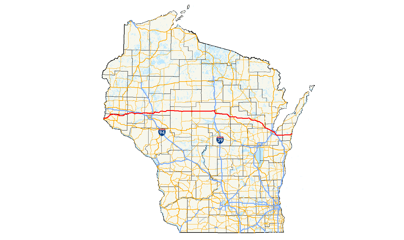
Highway 29 (Wisconsin 1917) .State Trunk Highway 29 (often called Highway 29, STH 29 or WIS 29) is a state highway running east–west across central
Wisconsin . It is a major east–west corridor connecting the Twin Cities with Wausau and Green Bay. A multi-year project to upgrade the corridor to a four-lanefreeway /expressway from Elk Mound to Green Bay was recently completed in 2005. The expansion served to improve safety on the route, which was over capacity as a two-lane road. The remainder of WIS 29 is two-lane surface road or urban multi-lane elsewhere.Route description
Green Bay to Kewaunee
Jctint
state=WI
county=Brown
cspan=5
location=Green Bay
lspan=1
type=mplex
road=jct|state=WI|US|141|WI|54|WI|57|dir1=North
notes=WIS 29 East follow US 141 SouthJctint
state=WI
county=
cspan=
location=Bellevue
lspan=2
type=noaccess
road=jct|state=WI|I|43
notes=I-43 access via US 141 SouthJctint
state=WI
county=
cspan=
location=
lspan=
type=mplex
road=jct|state=WI|US|141|dir1=South
notes=WIS 29 West follow US 141 NorthJctint
state=WI
county=
cspan=
location=Poland
lspan=1
type=
road=jct|state=WI|CTH|T
notes=Jctint
state=WI
county=
cspan=
location=Henrysville
lspan=1
type=
road=jct|state=WI|CTH|P
notes=Jctint
state=WI
county=Kewaunee
cspan=2
location=Pilsen
lspan=1
type=
road=jct|state=WI|CTH|V
notes=Jctint
state=WI
county=
cspan=
location=Kewaunee
lspan=1
type=
road=jct|state=WI|WI|42
notes=WIS 29 eastern terminusFuture plans
WisDOT is studying options for Highway 29 conversions to Interstate standards in three sections.
The section between I-94 and County Highway X's eastern exit is already designated as a
freeway by WisDOT - despite the existence of several at-grade intersections between U.S. Highway 53 and I-94. WisDOT is studying options for upgrade of these intersections as part of the study. In addition, upgrades to the I-94 interchange with Highway 29 are also being considered. WisDOT is also studying options for upgrades to the highway to a freeway further east to Bruce Mound Ave. in Clark County.The second section - between Wittenberg (U.S. Highway 45) and Green Bay (U.S. Highway 41) is also undergoing a study for planned upgrades of the highway to freeway standards. As it stands now, the Shawano bypass is the only section that is a freeway. The study is geared toward upgrading the rest of the section to
Interstate standards .cite web | author=Wisconsin Department of Transportation | title =Project Newsletter - Wis 29 Preservation Plan: Wittenberg to Green Bay | year=2005 | month=September | format=PDF | url =http://www.dot.wisconsin.gov/projects/docs/wis29news0806.pdf | accessdate = 2007-06-10]The third section - between Ringle (County Highway Q) and Wittenberg (U.S. Highway 45) is at the preliminary stages for freeway upgrades. WisDOT is currently focusing on preserving right of way access for future ugrades.cite web | author=Wisconsin Department of Transportation | title =WisDOT schedules WIS 29 public information meeting | url =http://www.dot.state.wi.us/news/2006/nc-wis29pim2.htm | accessdate = 2007-06-10]
To date, WisDOT has no published plans for the segments from Bruce Mound Ave. to Abbotsford (Badger Ave.) and from Abbotsford to Wausau (72nd Ave.)
Bannered routes
WIS 29 has four
business route s:* Business WIS 29 in Chippewa Falls
* Business WIS 29 in Abbotsford
* Business WIS 29 in Wittenberg
* Business WIS 29 in ShawanoReferences
Wikimedia Foundation. 2010.