- Combined Locks, Wisconsin
-
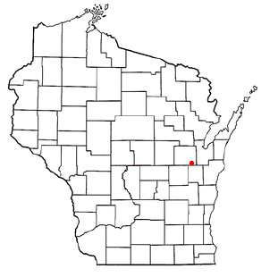
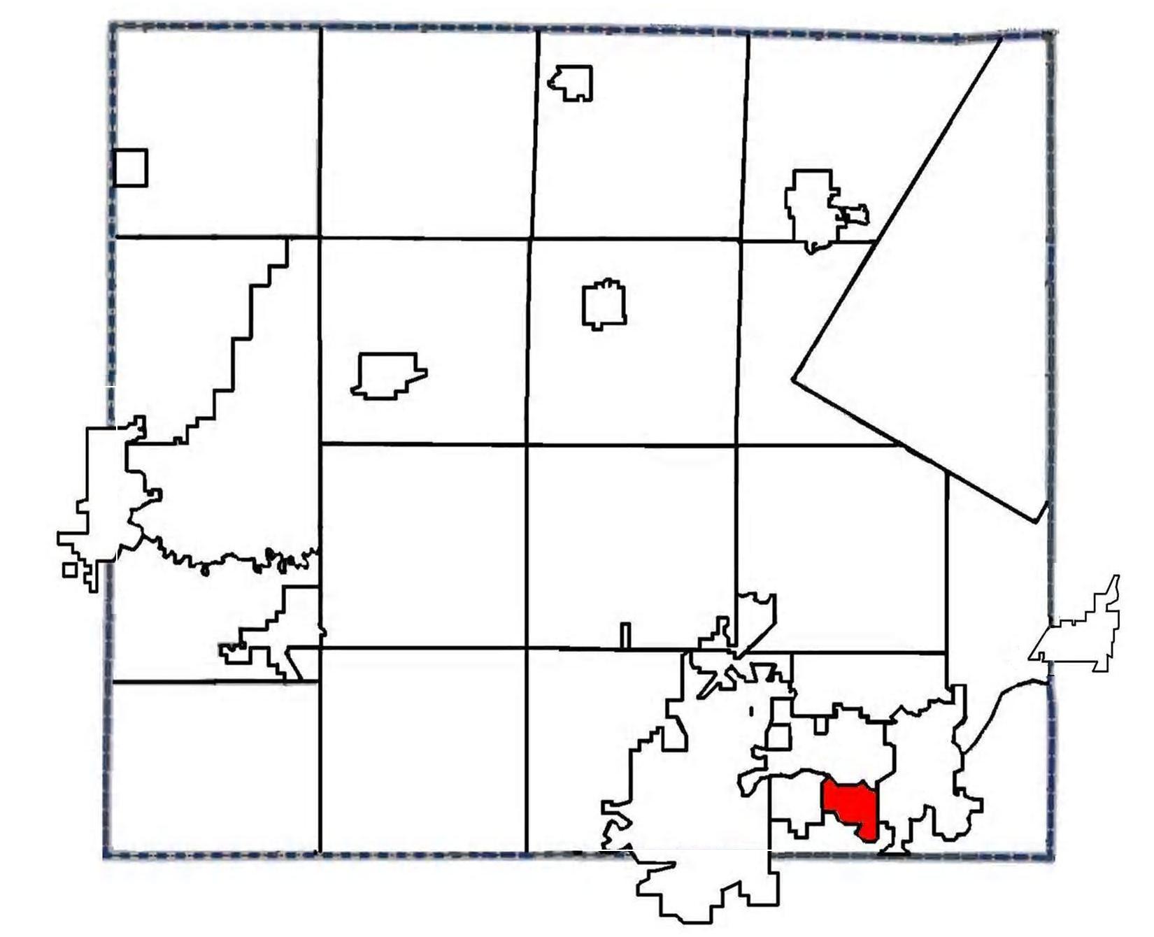
Combined Locks, Wisconsin — Village — Location of Combined Locks, Wisconsin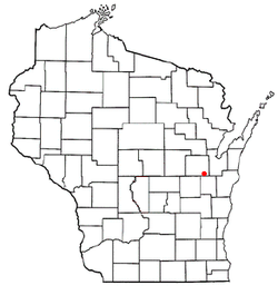 Location of Combined Locks, Wisconsin in Outagamie County
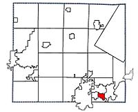
Coordinates: 44°16′N 88°19′W / 44.267°N 88.317°WCoordinates: 44°16′N 88°19′W / 44.267°N 88.317°W Country United States State Wisconsin County Outagamie Area - Total 1.7 sq mi (4.4 km2) - Land 1.5 sq mi (3.9 km2) - Water 0.2 sq mi (0.5 km2) Elevation[1] 725 ft (221 m) Population (2000) - Total 2,422 - Density 1,591.3/sq mi (614.4/km2) Time zone Central (CST) (UTC-6) - Summer (DST) CDT (UTC-5) FIPS code 55-16500[2] GNIS feature ID 1563292[1] Website http://www.combinedlocks.org/ Combined Locks is a village in Outagamie County, Wisconsin, United States. The population was 2,422 at the 2000 census.
Contents
Geography
Combined Locks is located at 44°16′N 88°19′W / 44.267°N 88.317°W (44.2649, -88.3120)[3].
According to the United States Census Bureau, the village has a total area of 1.7 square miles (4.4 km²), of which 1.5 square miles (3.9 km²) is land and 0.2 square mile (0.5 km²) (11.11%) is water.
Demographics
As of the census[2] of 2000, there were 2,422 people, 884 households, and 716 families residing in the village. The population density was 1,591.3 people per square mile (615.2/km²). There were 903 housing units at an average density of 593.3 per square mile (229.4/km²). The racial makeup of the village was 98.27% White, 0.17% African American, 0.41% Native American, 0.45% Asian, 0.25% from other races, and 0.45% from two or more races. Hispanic or Latino of any race were 1.24% of the population.
There were 884 households out of which 37.1% had children under the age of 18 living with them, 72.7% were married couples living together, 6.0% had a female householder with no husband present, and 18.9% were non-families. 15.6% of all households were made up of individuals and 5.8% had someone living alone who was 65 years of age or older. The average household size was 2.74 and the average family size was 3.06.
In the village the population was spread out with 27.8% under the age of 18, 6.1% from 18 to 24, 31.6% from 25 to 44, 24.2% from 45 to 64, and 10.3% who were 65 years of age or older. The median age was 36 years. For every 100 females there were 101.2 males. For every 100 females age 18 and over, there were 98.8 males.
The median income for a household in the village was $53,125, and the median income for a family was $56,131. Males had a median income of $42,135 versus $25,583 for females. The per capita income for the village was $24,090. About 0.5% of families and 0.8% of the population were below the poverty line, including none of those under age 18 and 4.8% of those age 65 or over.
References
- ^ a b "US Board on Geographic Names". United States Geological Survey. 2007-10-25. http://geonames.usgs.gov. Retrieved 2008-01-31.
- ^ a b "American FactFinder". United States Census Bureau. http://factfinder.census.gov. Retrieved 2008-01-31.
- ^ "US Gazetteer files: 2010, 2000, and 1990". United States Census Bureau. 2011-02-12. http://www.census.gov/geo/www/gazetteer/gazette.html. Retrieved 2011-04-23.
External links
Appleton/ Fox Cities Metropolitan Area, Wisconsin Central Cities 
Largest Municipalities
Over 10,000 in 2000Grand Chute* | Kaukauna (City)° | Little Chute‡ | Menasha (City)° | Menasha (Town)* | Neenah (City)°Municipalities
Under 10,000 in 2000Apple Creek§ | Buchanan* | Center* | Clayton* | Combined Locks‡ | Darboy§ | Freedom* | Greenville* | Harrison* | Hortonville‡ | Kaukauna (Town)* | Kimberly‡ | Mackville§ | Neenah (Town)* | Sherwood‡ | Vandenbroek* | Woodville*Counties Municipalities and communities of Outagamie County, Wisconsin Cities Appleton‡ | Kaukauna | New London‡ | Seymour

Villages Bear Creek | Black Creek | Combined Locks | Hortonville | Howard‡ | Kimberly | Little Chute | Nichols | Shiocton | Wrightstown‡
Towns Black Creek | Bovina | Buchanan | Center | Cicero | Dale | Deer Creek | Ellington | Freedom | Grand Chute | Greenville | Hortonia | Kaukauna | Liberty | Maine | Maple Creek | Oneida | Osborn | Seymour | Vandenbroek
CDP Unincorporated
communitiesApple Creek | Binghamton | Center Valley | Chicago Corners | Darboy‡ | Five Corners | Freedom | Greenville | Hamples Corner | Isaar | Leeman | Mackville | Medina | Murphy Corner | Oneida | Stephensville | Sugar Bush | Twelve Corners
Indian Reservation Ghost towns Grand Chute | Lawesburg | Lime Rock | Wakefield
Categories:- Populated places in Outagamie County, Wisconsin
- Villages in Wisconsin


Wikimedia Foundation. 2010.