- Kaukauna (town), Wisconsin
Infobox Settlement
official_name = Kaukauna, Wisconsin
settlement_type =Town
nickname =
motto =
imagesize =
image_caption =
image_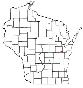
mapsize = 250px
map_caption = Location of the town of Kaukauna, Wisconsin
mapsize1 =
map_caption1 =subdivision_type = Country
subdivision_name =United States
subdivision_type1 = State
subdivision_name1 =Wisconsin
subdivision_type2 = County
subdivision_name2 = Outagamiegovernment_footnotes =
government_type =
leader_title =
leader_name =
leader_title1 =
leader_name1 =
established_title =
established_date =unit_pref = Imperial
area_footnotes =area_magnitude =
area_total_km2 = 46.8
area_land_km2 = 46.0
area_water_km2 = 0.8
area_total_sq_mi = 18.1
area_land_sq_mi = 17.8
area_water_sq_mi = 0.3population_as_of = 2000
population_footnotes =
population_total = 1142
population_density_km2 = 24.8
population_density_sq_mi = 64.3timezone = Central (CST)
utc_offset = -6
timezone_DST = CDT
utc_offset_DST = -5
elevation_footnotes = GR|3
elevation_m = 207
elevation_ft = 679
latd = 44 |latm = 19 |lats = 53 |latNS = N
longd = 88 |longm = 13 |longs = 28 |longEW = Wpostal_code_type =
postal_code =
area_code =
blank_name = FIPS code
blank_info = 55-38825GR|2
blank1_name = GNIS feature ID
blank1_info = 1583464GR|3
website =
footnotes =Kaukauna is a town in Outagamie County,
Wisconsin ,United States . The population was 1,142 at the 2000 census. In1885 , the adjacent City of Kaukauna was removed from the town when it incorporated. OnFebruary 28 ,2002 , parts of the town were annexed byWrightstown, Wisconsin . [http://www.legis.state.wi.us/lrb/bb/05bb/744-779.pdf]Geography
According to the
United States Census Bureau , in 2000 the town had a total area of 18.1 square miles (46.8 km²). 17.8 square miles (46.0 km²) of it is land and 0.3 square miles (0.8 km²) of it (1.66%) is water.Demographics
As of the
census of 2000, there were 1,142 people, 370 households, and 311 families residing in the town. Thepopulation density was 64.3 people per square mile (24.8/km²). There were 378 housing units at an average density of 8.2 persons/km² (21.3 persons/sq mi). The racial makeup of the town was 97.55% White, 0.09%African American , 1.93% Native American, 0.09%Asia n, 0.00% Pacific Islander, 0.00% from other races, and 0.35% from two or more races. 0.53% of the population wereHispanic orLatino of any race.There were 370 households out of which 44.1% had children under the age of 18 living with them, 75.9% were married couples living together, 4.3% have a woman whose husband does not live with her, and 15.9% were non-families. 12.4% of all households were made up of individuals and 3.5% had someone living alone who was 65 years of age or older. The average household size was 3.02 and the average family size was 3.32.
In the town the population was spread out with 31.1% under the age of 18, 6.5% from 18 to 24, 30.5% from 25 to 44, 22.4% from 45 to 64, and 9.5% who were 65 years of age or older. The median age was 36 years. For every 100 females there were 100.7 males. For every 100 females age 18 and over, there were 98.2 males.
The median income for a household in the town was $61,696, and the median income for a family was $63,625. Males had a median income of $41,010 versus $26,111 for females. The
per capita income for the town was $20,881. 1.7% of the population and 1.0% of families were below the poverty line. Out of the total people living in poverty, 2.7% are under the age of 18 and 0.0% are 65 or older.References
External links
* [http://www.townofkaukauna.org/ Town of Kaukauna]
Wikimedia Foundation. 2010.