- Monument Valley
-
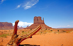
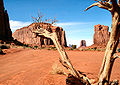
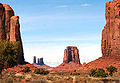
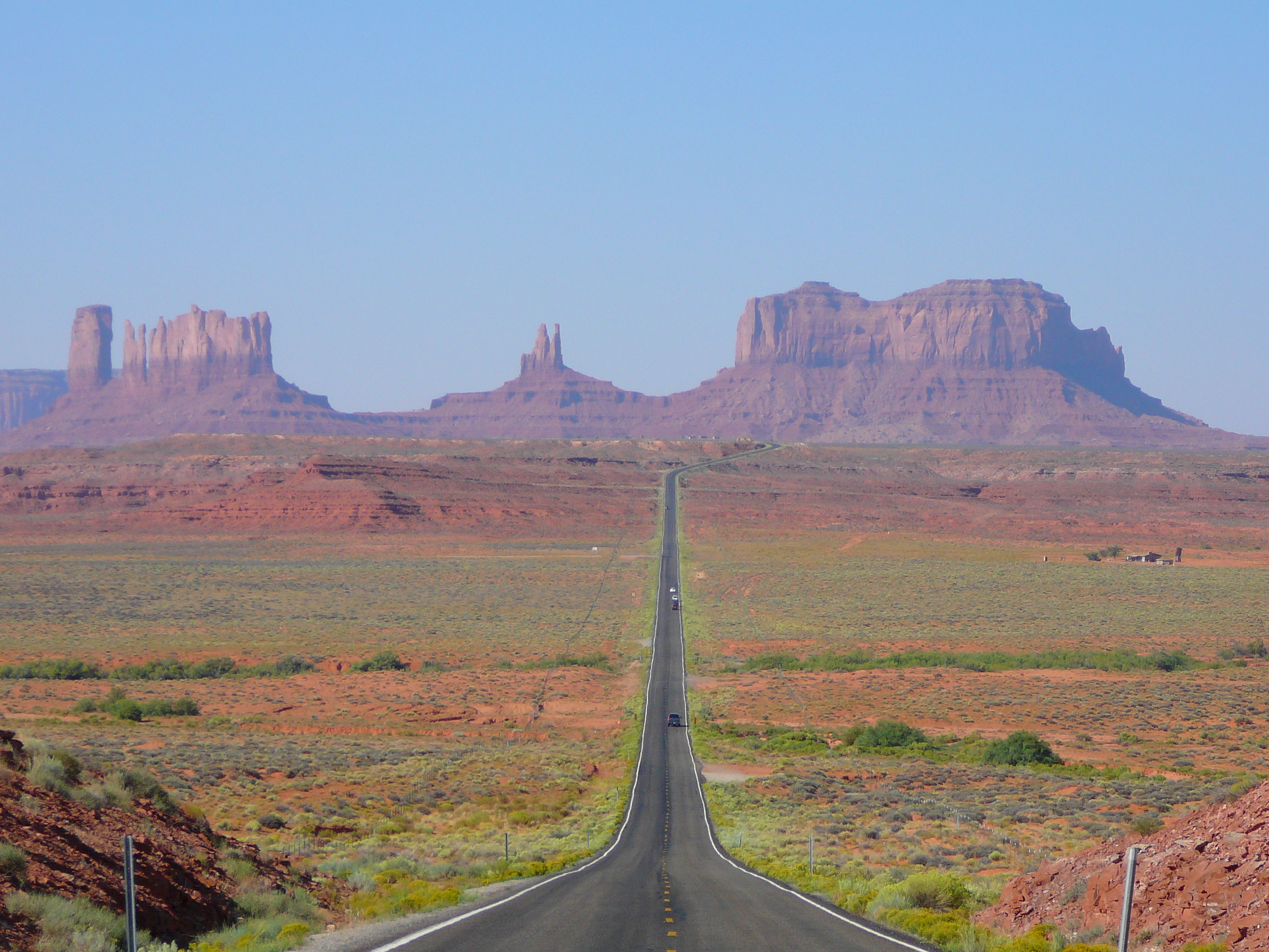
 View of Monument Valley in Utah, looking south on U.S. Route 163 from 13 miles north of the Arizona/Utah State line
Monument Valley (Navajo: Tsé Biiʼ Ndzisgaii, meaning valley of the rocks) is a region of the Colorado Plateau characterized by a cluster of vast sandstone buttes, the largest reaching 1,000 ft (300 m) above the valley floor. It is located on the northern border of Arizona with southern Utah (around 36°59′N 110°6′W / 36.983°N 110.1°W), near the Four Corners area. The valley lies within the range of the Navajo Nation Reservation, and is accessible from U.S. Highway 163.
Contents
Geography and Geology
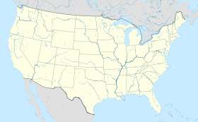
 Location of Monument Valley in the United States.
The area is part of the Colorado Plateau. The floor is largely siltstone of the Cutler Formation, or sand derived from it, deposited by the meandering rivers that carved the valley. The valley's vivid red color comes from iron oxide exposed in the weathered siltstone. The darker, blue-gray rocks in the valley get their color from manganese oxide.
The buttes are clearly stratified, with three principal layers. The lowest layer is Organ Rock shale, the middle de Chelly sandstone and the top layer is Moenkopi shale capped by Shinarump siltstone. The valley includes large stone structures including the famed Eye of the Sun.
Between 1948 and 1967, the southern extent of the Monument Upwarp was mined for uranium, which occurs in scattered areas of the Shinarump siltstone; vanadium and copper are associated with uranium in some deposits (see Uranium mining in Arizona).
In media
Main article: List of appearances of Monument Valley in the mediaMonument Valley has been featured in many forms of media since the 1930s. It is perhaps most famous for its use in many John Ford films, including Stagecoach and The Searchers. It has also been featured in the Robert Zemeckis film Forrest Gump and, most recently, was featured in the popular United Kingdom television show Doctor Who in the two episodes The Impossible Astronaut and Day of the Moon.
Tourism
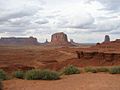
 Monument Valley from the valley floor
Monument Valley is officially a large area which includes much of the area surrounding Monument Valley Navajo Tribal Park, a Navajo Nation equivalent to a national park. Oljato, for example, is also within the area designated as Monument Valley.
Visitors can pay an access fee and drive through the park on a 17-mile (27 km) dirt road (a 2-3 hour trip). Tours are also available, and the fee varies between about $40 and $100 per person depending on the services provided and route. There are parts of Monument Valley which are only accessible by guided tour, such as Mystery Valley and Hunts Mesa.
Horseback rides are also available from various establishments both inside the park and in the general Monument Valley area, and rates vary widely depending on the length of the ride. Rides may be only an hour, or overnight camping trips. Additionally, hot air balloon flights are available May 1 through October 31, and small airplane flights are sometimes available.
Monument Valley is part of the Grand Circle, which includes the Grand Canyon, Mesa Verde, Bryce Canyon National Park, Zion Canyon National Park, Capitol Reef, Natural Bridges National Monument, Hovenweep, Arches National Park, and many other attractions.
Gallery
-

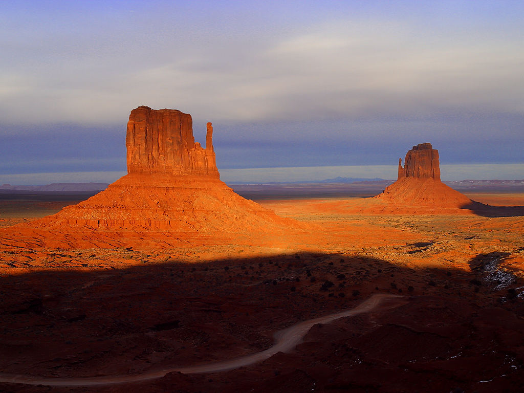
East Mitten and West Mitten Buttes
-
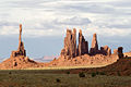
View from John Ford's Point
-
The North Window
-
The North Window
-
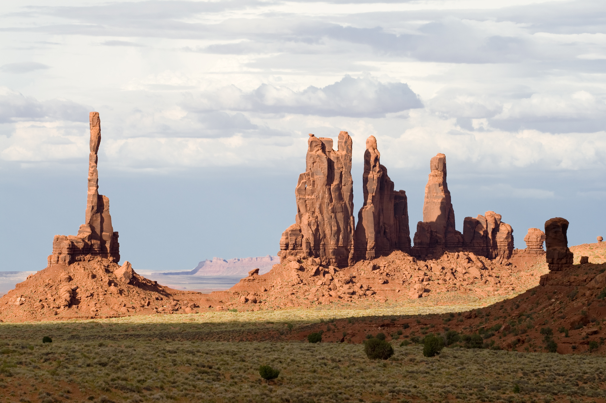
The Totem Pole
-
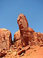
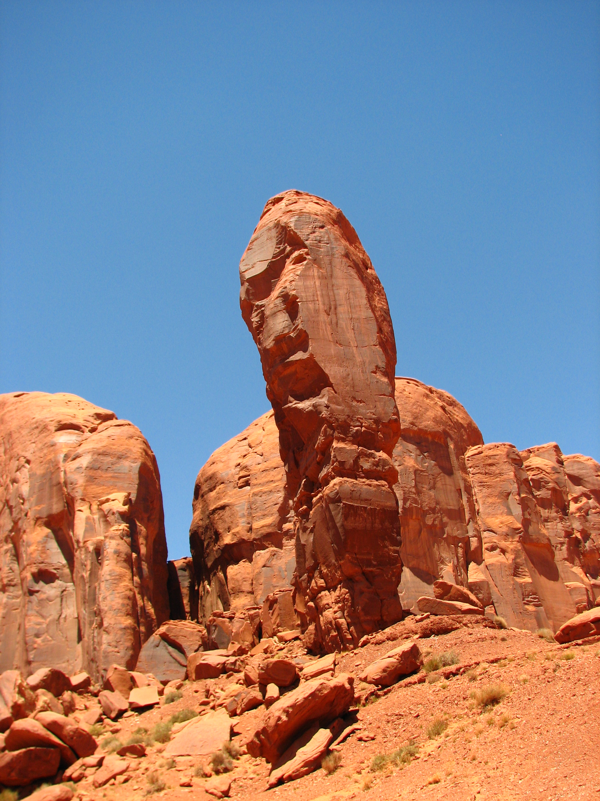
The Thumb
-
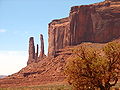
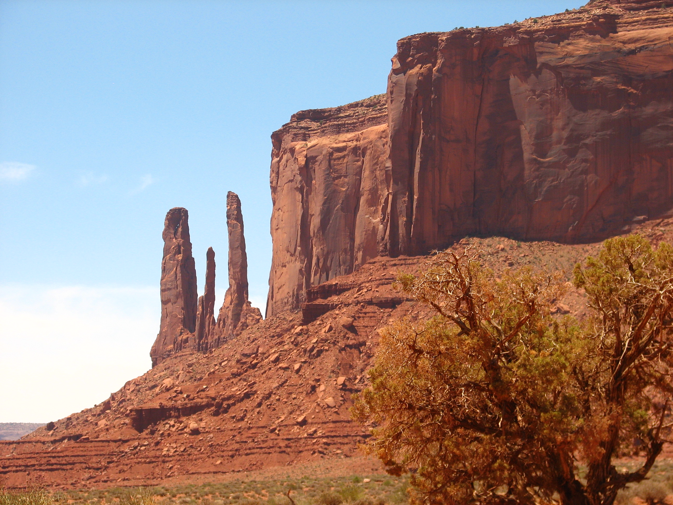
Three Sisters
-

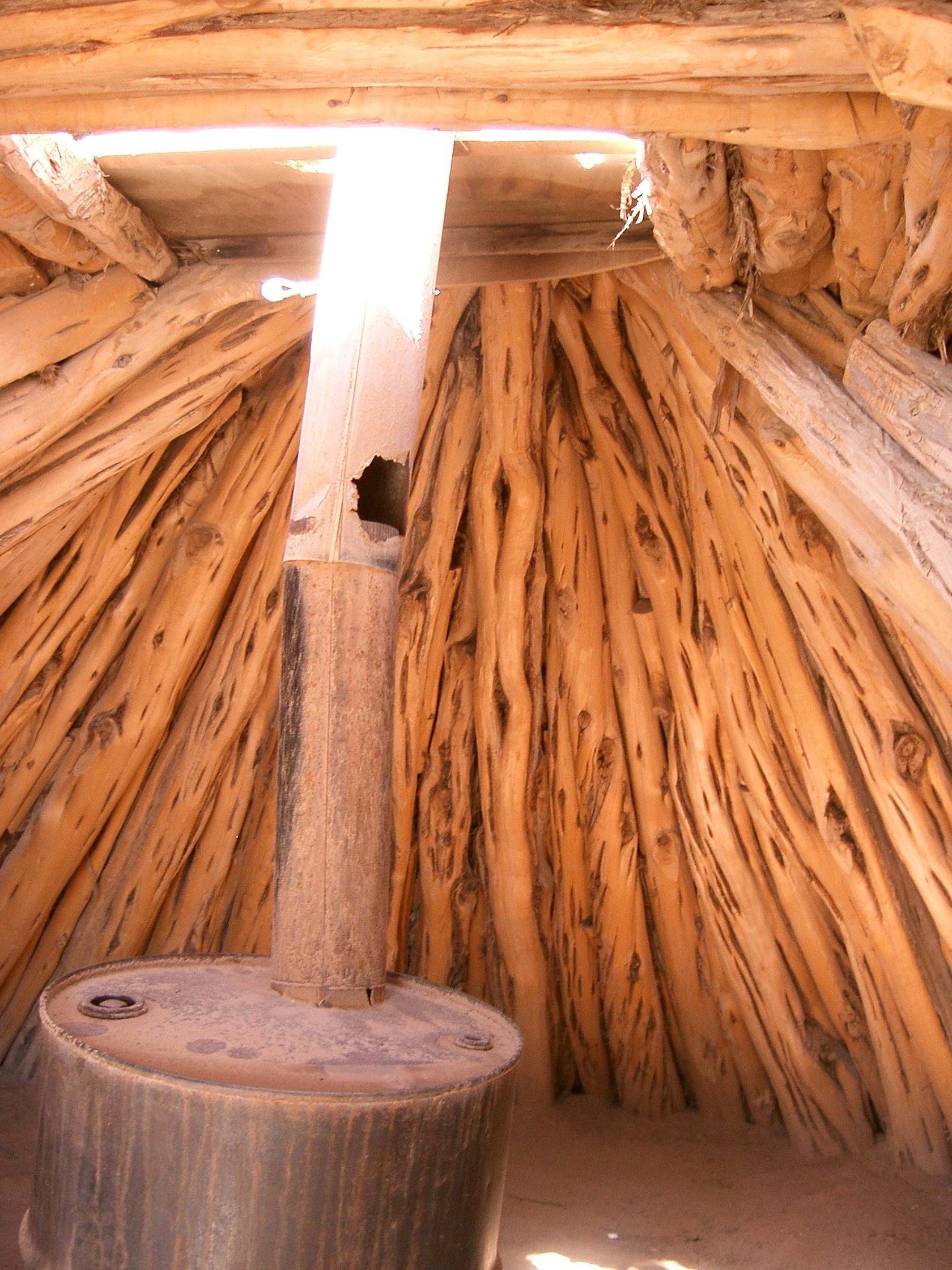
Interior of a "male" style Navajo hogan, with a stove made from a 55 gallon drum
Monument Valley panoramics
 Monument Valley panorama, taken from the Visitor Center and showing the "Mittens" and the road which makes a loop-tour through the Park
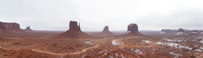 Panorama of Monument Valley in Winter
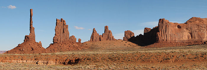 Totem Pole
See also
- Valley of the Gods
References
External links
- Monument Valley Navajo Tribal Park website
- Map of Monument Valley
- Los Angeles Times article about Monument Valley
- American Southwest Guide
- Energy Information Administration notes on uranium mining and its decommissioning
- IMDb list of movies and television shows with scenes in Monument Valley
- Column from PopMatters.com on Monument Valley in film
 State of Arizona
Topics - Index
- Climate
- Delegations
- Geography
- History
- Museums
- Music
- People
- Transportation
- Visitor Attractions
Society - Culture
- Demographics
- Economy
- Education
- Politics
Regions - Arizona Strip
- Arizona Sun Corridor
- Coconino Plateau
- Colorado Plateau
- Grand Canyon
- Kaibab Plateau
- Mogollon Plateau
- Mogollon Rim
- Mojave Desert
- Monument Valley
- North Central Arizona
- Northeast Arizona
- Northern Arizona
- Oak Creek Canyon
- Phoenix Metropolitan Area
- Safford area
- San Francisco Volcanic Field
- Sonoran Desert
- Southern Arizona
- Verde Valley
- White Mountains
Counties Cities  State of UtahSalt Lake City (capital)
Topics - Cities
- Congressional districts
- Counties
- Flag
- Geography
- Government
- Governors
- History
- People
- Portal
- Symbols
- Visitor Attractions
Society - Demographics
- Economy
- Politics
Regions Largest cities - American Fork
- Bountiful
- Cedar City
- Clearfield
- Cottonwood Heights
- Draper
- Holladay
- Kaysville
- Layton
- Lehi
- Logan
- Midvale
- Murray
- Ogden
- Orem
- Pleasant Grove
- Provo
- Riverton
- Roy
- St. George
- Salt Lake City
- Sandy
- South Jordan
- South Salt Lake
- Spanish Fork
- Springville
- Taylorsville
- Tooele
- West Jordan
- West Valley City
Counties Attractions Categories:- Buttes of the United States
- Landforms of Apache County, Arizona
- Landforms of Navajo County, Arizona
- Colorado Plateau
- Regions of Arizona
- Valleys of Arizona
- Rock formations in Arizona
- Valleys of Utah
- Rock formations in Utah
- Regions of Utah
- Landforms of San Juan County, Utah
- Film shooting locations
- Religious places of the indigenous peoples of North America
- Borders of Arizona
- Borders of Utah
- Protected areas of Apache County, Arizona
- Protected areas of Navajo County, Arizona
- Protected areas of San Juan County, Utah
- Geography of the Navajo Nation
-


Wikimedia Foundation. 2010.