- Kaysville, Utah
Infobox Settlement
official_name = Kaysville, Utah
settlement_type =City
nickname =
motto =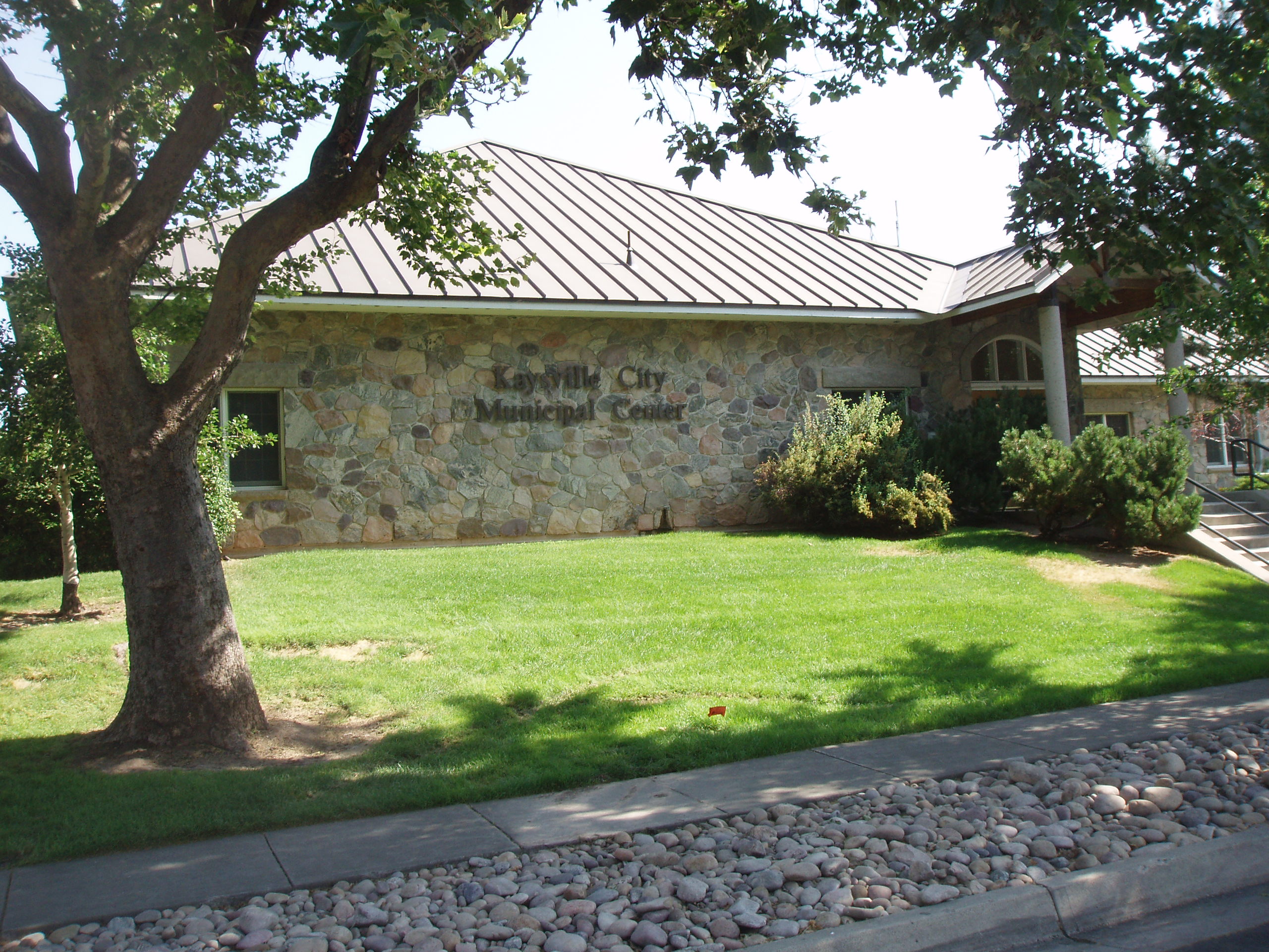
imagesize =
image_caption = Kaysville City Municipal Center
image_|pushpin_
pushpin_label_position =left
pushpin_map_caption =Location within the state of Utah
pushpin_mapsize =
|mapsize =
map_caption =
mapsize1 =
map_caption1 =subdivision_type = Country
subdivision_name =United States
subdivision_type1 = State
subdivision_name1 =Utah
subdivision_type2 = County
subdivision_name2 = Davisgovernment_footnotes =
government_type =
leader_title =
leader_name =
leader_title1 =
leader_name1 =
established_title =
established_date =unit_pref = Imperial
area_footnotes =
area_magnitude =
area_total_km2 = 26.1
area_land_km2 = 26.1
area_water_km2 = 0.0
area_total_sq_mi = 10.1
area_land_sq_mi = 10.1
area_water_sq_mi = 0.0population_as_of = 2000
population_footnotes =
population_total = 20351
population_density_km2 = 778.4
population_density_sq_mi = 2016.1timezone = Mountain (MST)
utc_offset = -7
timezone_DST = MDT
utc_offset_DST = -6
elevation_footnotes =
elevation_m = 1328
elevation_ft = 4357
latd = 41 |latm = 1 |lats = 59 |latNS = N
longd = 111 |longm = 56 |longs = 10 |longEW = Wpostal_code_type =
ZIP code
postal_code = 84037
area_code = 801
blank_name = FIPS code
blank_info = 49-40360GR|2
blank1_name = GNIS feature ID
blank1_info = 1442285GR|3
website =
footnotes =Kaysville is a city in Davis County,
Utah ,United States . It is part of the Ogden–Clearfield, Utah Metropolitan Statistical Area. The population was 20,351 at the 2000 census.History
The Kaysville area was originally settled by Hector Haight shortly after Mormon pioneers arrived in 1847. He had been sent north to find feed for the stock and soon thereafter constructed a cabin and brought his family to settle the area.
Farmington, Utah , also claims Hector Haight as its original settler. Two miles north of Haight's original settlement, Samuel Holmes built a cabin in 1849 and was soon joined by other settlers from Salt Lake, namely Edward Phillips, John Green, and William Kay. [ [http://www.kaysvillecity.com/about.history.html Kaysville history] . - City of Kaysville]Although settlement began in the 1840s, the name of Kaysville connects with the fact that in 1851 William Kay was made the bishop in the vicinity by
Brigham Young andHeber C. Kimball .After the move south in 1858 (see
Utah War ) there was an attempt to rename the community Freedom, but Brigham Young convinced the residents to retain the old name.In 1868 Kaysville became the first city incorporated in Davis County.
An adobe meetinghouse was built in 1863. It was replaced by the Kaysville Tabernacle in 1914. In 1930 Kaysville had 992 people. They all were in the Kaysville Ward which also covered most of the rest of the Kaysville Precinct. [Jenson, Andrew. "Encyclopedic History of The Church of Jesus Christ of Latter-day Saints", p. 394-395]
By 2008 there were seven stakes in Kaysville. [ [http://www.lds.org/units/find/search/1,16055,2311-1,00.html LDS Church website list of Kaysville stakes] , accessed May 3rd, 2008]
Geography
Kaysville is located at coor dms|41|1|59|N|111|56|10|W|city (41.033141, -111.936235)GR|1.
According to the
United States Census Bureau , the city has a total area of 10.1square mile s (26.1km² ), all of it land.Demographics
As of the
census GR|2 of 2000, there were 20,351 people, 5,496 households, and 4,814 families residing in the city. Thepopulation density was 2,016.1 people per square mile (778.7/km²). There were 5,638 housing units at an average density of 558.5/sq mi (215.7/km²). The racial makeup of the city was 96.57% White, 0.31% African American, 0.28% Native American, 0.66% Asian, 0.18% Pacific Islander, 0.90% from other races, and 1.10% from two or more races. Hispanic or Latino of any race were 2.98% of the population.There were 5,496 households out of which 57.5% had children under the age of 18 living with them, 77.6% were married couples living together, 8.0% had a female householder with no husband present, and 12.4% were non-families. 11.1% of all households were made up of individuals and 5.8% had someone living alone who was 65 years of age or older. The average household size was 3.69 and the average family size was 4.02.
In the city the population was spread out with 40.6% under the age of 18, 9.7% from 18 to 24, 27.2% from 25 to 44, 15.7% from 45 to 64, and 6.8% who were 65 years of age or older. The median age was 25 years. For every 100 females there were 99.2 males. For every 100 females age 18 and over, there were 92.7 males.
The median income for a household in the city was $60,383, and the median income for a family was $64,818. Males had a median income of $50,414 versus $27,653 for females. The
per capita income for the city was $17,652. About 4.2% of families and 4.7% of the population were below thepoverty line , including 5.6% of those under age 18 and 6.8% of those age 65 or over.Points of interest
* City Hall
* Cherry Hill Resort
* Davis High School
* [http://www.davis.k12.ut.us/kjh/ Kaysville Junior High]
* Kaysville Library
* Kaysville Tabernacle
* Kaysville Theater
* Bowman's Grocery Store
* House whereJohn Taylor (1808-1887) died
*LeConte Stewart Artist Museum
* Governor Blood's Home Historic Monument
*Utah Botanical Center
*Kay's Cross
* Biker's EdgeNotable natives
*
Rob Bishop - A Republican representative in theUnited States House of Representatives .
*Henry H. Blood - Businessman and 7th governor of Utah
*Floyd Gottfredson - Cartoonist in The Will Eisner Award Hall of Fame
* Mike Jones - University of Utah Track and Field / Cross Country Coach - Several time recipient of the NCAA Coach of the Year AwardFact|date=August 2008References
External links
* [http://www.kaysvillecity.com/ Official Kaysville City Website]
* [http://www.davis.k12.ut.us/kjh/ Kaysville Junior High]

Wikimedia Foundation. 2010.