- City of Maribyrnong
-
City of Maribyrnong
Victoria
Map of Melbourne showing location of City of Maribyrnong.Population: 71,523(2009)[1] Established: 1994 Area: 31.2 km² (12.0 sq mi) Mayor: Sarah Carter(2010-11) Council Seat: Footscray Region: West Metropolitan Melbourne State District: Williamstown, Footscray Federal Division: Gellibrand 
LGAs around City of Maribyrnong: Brimbank Moonee Valley Moonee Valley Brimbank City of Maribyrnong Melbourne Hobsons Bay Hobsons Bay Melbourne The City of Maribyrnong is a Local Government Area located within the metropolitan area of Melbourne, Victoria, Australia. It comprises the inner western suburbs between 5 and 10 kilometres from the Melbourne city centre. It was formed in 1994 from the merger of the City of Footscray and part of the City of Sunshine.
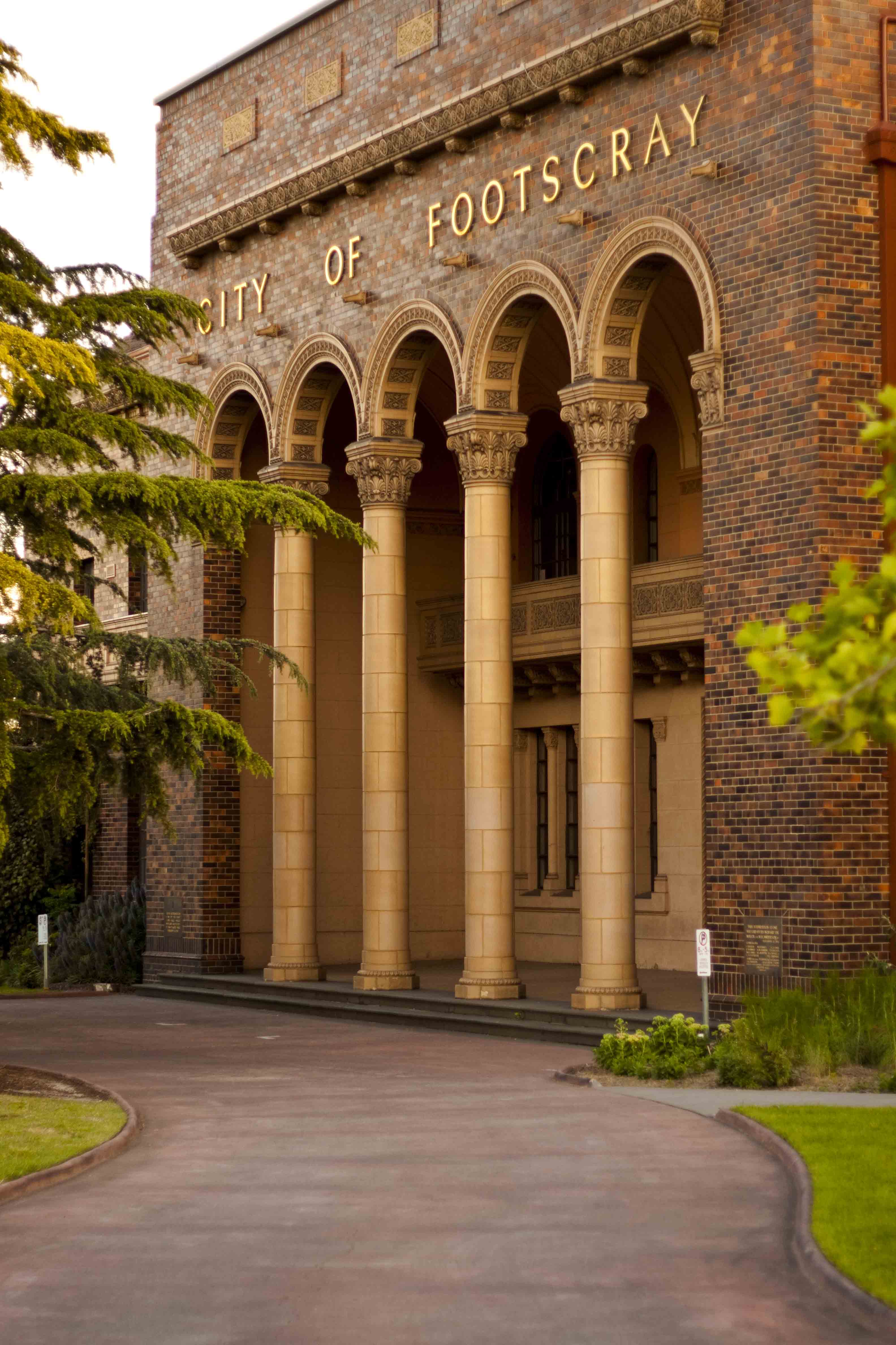
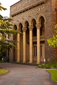 City of Footscray building, located corner of Napier and Hyde Street in Footscray
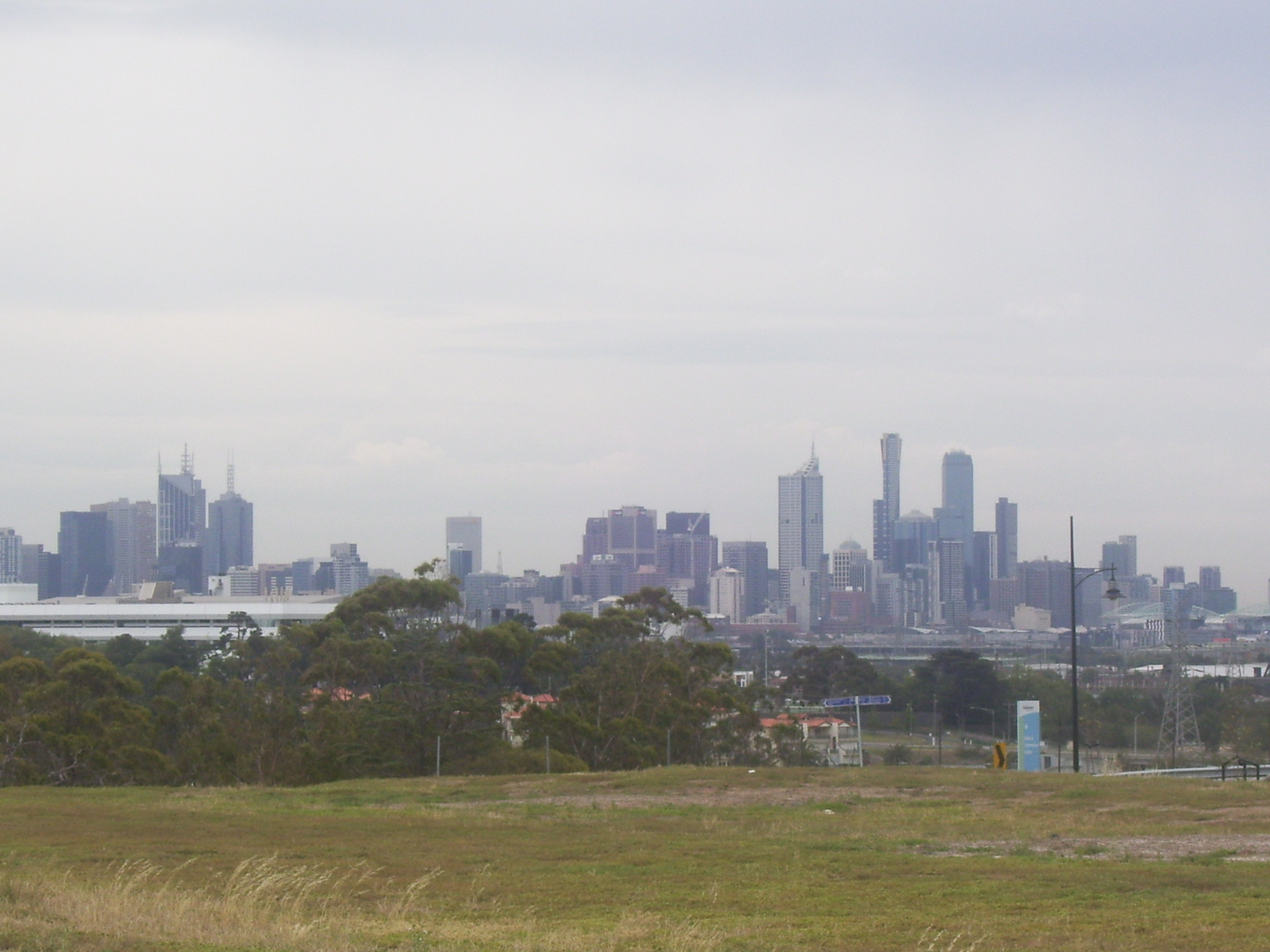
According to Local Government Victoria, Maribyrnong has the second most ethnically diverse population in Victoria, with 40% of residents born outside Australia. At the 2006 Census, Maribyrnong had a population of 63,141.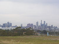 View of CBD Skyline from Gordon Street, Maribyrnong
The City of Maribyrnong is a place of diversity, opportunities and challenges. The level and type of development occurring over the past ten years, and likely to continue for the next ten to twenty years, is unique to inner Melbourne. Many of the City’s former industrial sites have been replaced by residential developments and for the first time in ten years we have witnessed population increases. This trend will continue and in the next twenty years we are expected to welcome an additional 16,000 residents.
The social character of the community is also changing. New residents are generally more educated and classified as higher income earners. The City also continues to attract new cultural groups. People are attracted by the close proximity to Melbourne CBD, period homes, public transport hubs, cultural diversity, and the natural environment of the Maribyrnong River.
Contents
Wards and Councillors
- Ironbark - Cr Sarah Carter (Mayor 2010-11) (First elected 2008) - Independent
- Sheoak - Cr Martin Zakharov (Deputy Mayor 2010-11) (First elected 2008) - Labor
- Bluestone - Cr Catherine Cumming (First elected 1997) - Independent
- River - Cr Dina Lynch (First elected 2005) - Independent
- Saltwater - Cr John Cumming (First elected 2008) - Labor
- Stony Creek - Cr Sel Sanli (First elected 2007) - Labor. *The VEC alleged Sanli breached the Electoral Act in 2009, but he refused to be interviewed by the commission.[2]
- Wattle - Cr Michael Clarke (First elected 2005) - Labor
Suburbs
Community Snapshot
Figures below are drawn from 2006 Census unless otherwise stated. For detailed demographics visit the City of Maribyrnong Community Profile.
- Population is 69,825 (ABS estimate, June 2008)
- 68% of all residents are aged 18–64 (4% above Melbourne average)
- Aboriginal and Torres Strait Islander residents increased by 9.6% since 2001 to 262 (0.4%) - slightly smaller than the Victorian average - with the highest concentration (68 persons or 1.0%) in Braybrook
- 24,487 (38.9%) residents were born overseas compared with 23,705 (39.9%) in 2001 and 25, 945 (44%) in 1996 - a small but steady decline – while averages remain higher than the Victorian and the Melbourne Statistical Divisions
- 21,535 (87.9%) residents born overseas were from non-English speaking countries - a small increase (.8%) since 2001
- 43% of residents spoke a language other than English (top languages: Vietnamese, Chinese, Greek, Italian, Macedonian)
- One in five overseas born persons (24%) do not speak English well or at all
- Indian born population increased by 165% and Chinese born increased by 70% in the past five years
- The City rates 3rd on SEIFA index of disadvantage (after Dandenong and Brimbank) - Braybrook is most disadvantaged while Maribyrnong is most advantaged
- Unemployment is high at 6.9% (December, 2008) compared to Greater Melbourne which averages 5.4%
- Employed residents number 28,246 - 18% work and live here
- 54% of households have no internet connection
- There is a large proportion (28.1%) of lone person households
- Average weekly household income is $932; (30.3% of men and 40.7% of women earn between $1–$400 per week while12.4% of women and 20.1% of men earn more than $1000 per week)
- 35% of all households rent either public or private accommodation
- 22.1% of households spend 30% or more of gross household income on rent or mortgage payments
- The median house price was $500,000 (compared to Western region $300,00) and the median apartment price was $350,00 (compared to $250,00 Western region)
- 24.4% of residents experience transport limitations
- 7.1% of residents experience food insecurity (i.e. not having access at all times to enough food for an active and healthy life).
Emerging Cultural Groups
Between 2003 and 2008, the City received a total of 4,769 new arrivals. The majority arrived as skilled migrants (46%), followed by family migration (33%), and humanitarian entrants (21%).
Key statistics:
- A large proportion of arrivals under humanitarian migration arrived with low to very poor English language skills
- The majority of new arrivals were in the 20-29 year age bracket, with the majority male
- Large percentages are new arrivals from India, China, Bangladesh and Pakistan are settling through skilled migration stream
- Over 90% of new arrivals from Burma and Sudan arrived in the City as humanitarian migrants
- Family migration is significant from Vietnam and the United Kingdom, with persons settling in communities
Business
The City of Maribyrnong is a dynamic economic entity. There are approximately 5,392 businesses employing in excess of 35,000 people, yet the resident workforce is only around 28,246. Manufacturing was the largest employer of Maribyrnong residents with 3,451 employees, followed by retail with 2,668, health care 2,576; scientific and technical services 2,185 and education with 2,145. Maribyrnong’s key employers include Victoria University, Western Health, Lonely Planet, Highpoint Shopping Centre, Western Bulldogs Football Club, Mobil Australia and Sugar Australia (CSR).
On average, 34% of the labour force has university qualifications, in some parts of the municipality the proportion is as high as 53%. The highest concentration of university qualified residents is in the Footscray, Seddon, Yarraville corridor.
Education
Tertiary
Victoria University has two principal campuses located in Footscray with a student population of around 15,000 and staff of almost 1,200. This represents the largest concentration of tertiary activity in Melbourne’s West. Victoria University is also Maribyrnong City Council’s largest employer, second only to Western Health.
Secondary
Maribyrnong’s five secondary schools employ approximately 530 staff and cater for over 4000 students. These figures are set to increase as Maribyrnong Secondary College completes its transformation into Victoria’s first public elite sports school.
Libraries
The library service run by the council has four branches: Footscray, Highpoint Shopping Centre, West Footscray, and Yarraville. Reflecting the multiculturalism of the community, the library service has a large amount of material in languages other than English.
See also
References
- ^ Australian Bureau of Statistics (30 March 2010). "Regional Population Growth, Australia, 2008–09". http://www.abs.gov.au/ausstats/abs@.nsf/Latestproducts/3218.0Main%20Features52008-09?opendocument&tabname=Summary&prodno=3218.0&issue=2008-09&num=&view=. Retrieved 4 June 2010.
- ^ http://news.smh.com.au/breaking-news-national/electoral-commission-abandons-alp-probe-20090918-fur5.html
External links
- Maribyrnong City Council
- Community Profile for the City of Maribyrnong
- Metlink local public transport map
- Link to Land Victoria interactive maps
Local Government Areas of Victoria Greater Melbourne Inner MelbourneMetropolitanBanyule · Bayside · Boroondara · Darebin · Glen Eira · Hobsons Bay · Kingston · Maribyrnong · Maroondah · Monash · Moonee Valley · Moreland · WhitehorseOuter MetropolitanBrimbank · Cardinia · Casey · Frankston · Greater Dandenong · Hume · Knox · Manningham · Melton · Mornington Peninsula · Nillumbik · Whittlesea · Wyndham · Yarra RangesSouthwest Central Highlands and Goldfields Goulburn Valley Northeast Gippsland Western District Wimmera The Mallee Categories:- Populated places established in 1994
- 1994 establishments in Australia
- Local Government Areas in Melbourne
- Local Government Areas of Victoria (Australia)
Wikimedia Foundation. 2010.