- Shire of Macedon Ranges
Infobox Australian Place | type = lga
name = Shire of Macedon Ranges
state = vic
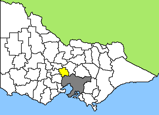
caption = Location in Victoria
pop = 38,360 (2006) [Census 2006 AUS|id=LGA24130|name=Macedon Ranges (S) (Local Government Area)|accessdate=2007-12-20|quick=on]
area = 1747
est = 1994
seat = Kyneton
mayor = Noel Harvey
region = Regional Victoria NW of Melbourne
url = http://www.macedon-ranges.vic.gov.au
stategov = Macedon
fedgov = Bendigo, McEwen
near-nw = Mount Alexander
near-n = Mitchell
near-ne = Mitchell
near-w = Hepburn
near-e = Mitchell
near-sw = Moorabool
near-s = Melton
near-se = HumeThe Shire of Macedon Ranges is a Local Government Area in Victoria,Australia , located in the central part of the state northwest ofMelbourne , the state capital. The shire has an area of 1,747square kilometre s, and the 2006 census reported its population as 38,360. The main shire offices are located in Kyneton.The shire was created in 1994 during statewide local government reform, as an amalgamation of the shires of Kyneton, Romsey, Gisborne and Newham and Woodend.
The major towns within the shire are Gisborne, Kyneton, Lancefield, Macedon, Malmsbury, Mount Macedon, Riddells Creek, New Gisborne, Romsey and Woodend.
Macedon Ranges was rated thirteenth of 590 Australian Local Government Areas (and the highest in Victoria outside Melbourne in the
BankWest Quality of Life Index 2008.cite web |url= http://www.bankwest.com.au/library/scripts/objectifyMedia.aspx?file=pdf/43/12.pdf&str_title=Complete%20Quality%20of%20Life%20Rankings%202008.pdf|title= BankWest Quality of Life Index 2008|accessdate= 2008-09-03|date= 2008-08-20|format= pdf|work= BankWest Quality of Life Index 2008|publisher= BankWest|pages= 8]References
External links
* [http://www.macedon-ranges.vic.gov.au Macedon Ranges Shire Council]
* [http://www.gisbornemountmacedon.org.au/ Gisborne & Mount Macedon Districts Historical Society]
Wikimedia Foundation. 2010.