- Malmsbury, Victoria
-
Malmsbury
Victoria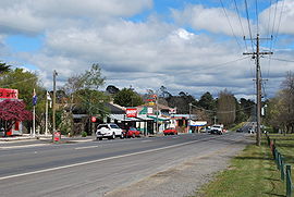
The Calder Highway at Malmsbury
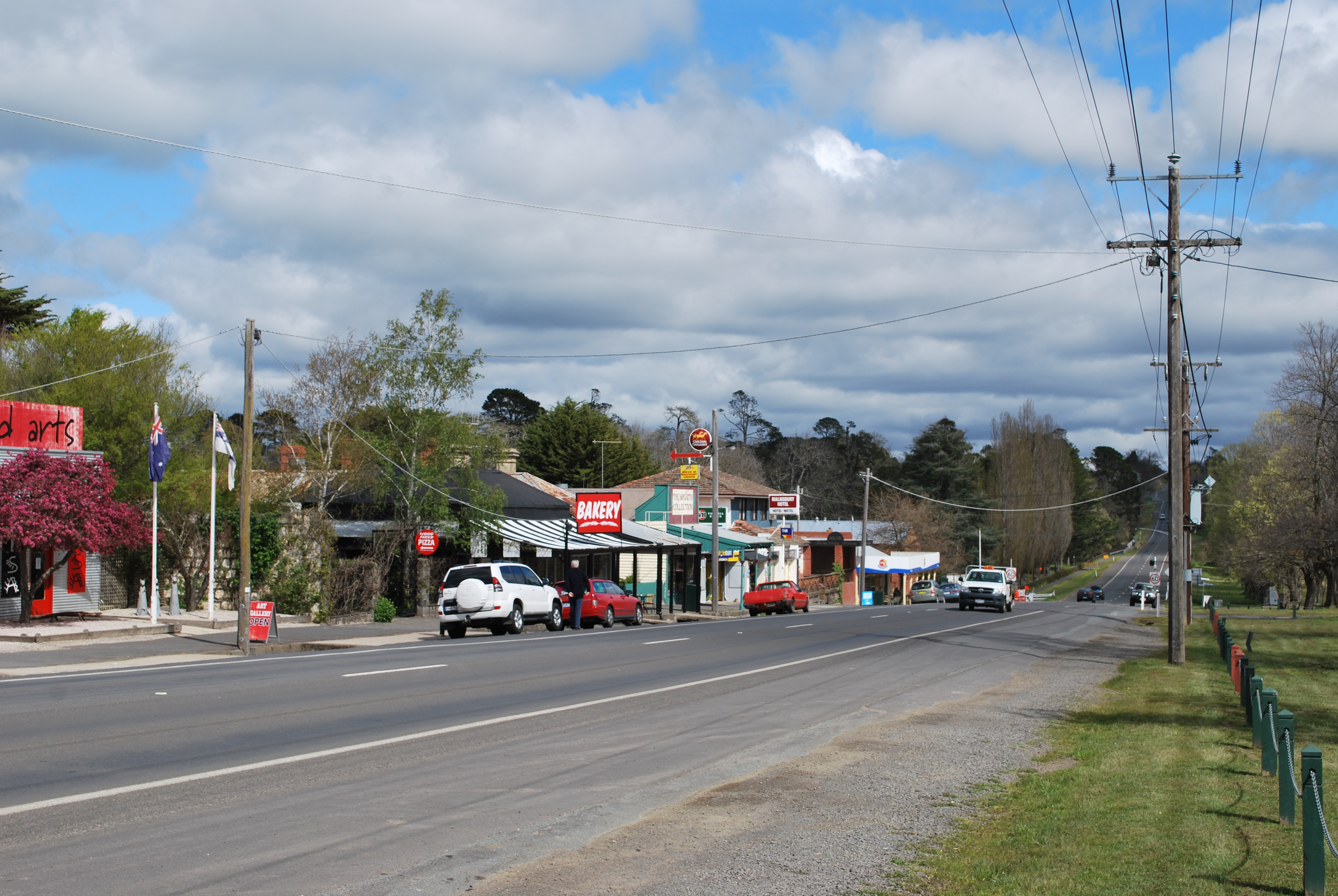
 Malmsbury
Population: 587 (2006)[1] Postcode: 3446 Elevation: 462 m (1,516 ft) Location: LGA: Shire of Macedon Ranges State District: Ballarat East Federal Division: Bendigo Localities around Malmsbury: Taradale Elphinstone Metcalfe Drummond North Malmsbury Kyneton Drummond Lauriston Kyneton 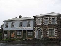
Malmsbury is a town in central Victoria, Australia. It lies on the Old Calder Highway (C794), 96 km north west of the state capital, Melbourne and 11 km north west of Kyneton. Situated close by the Coliban River, Malmsbury has a population of 587.[1] Malmsbury is in the north western area of the Shire of Macedon Ranges local government area.
The original inhabitants of the local area were the Dja Dja Wurrung people. European settlement began with squatters raising sheep and cattle. Gold was discovered in 1858 and the town became a service centre for diggers travelling to Bendigo and Castlemaine. Malmesbury [sic] Post Office opened on 9 November 1854, closed within two months, reopened in 1856, and was renamed Malmsbury around 1896[2], although the name Malmesbury remains in occasional use[3].
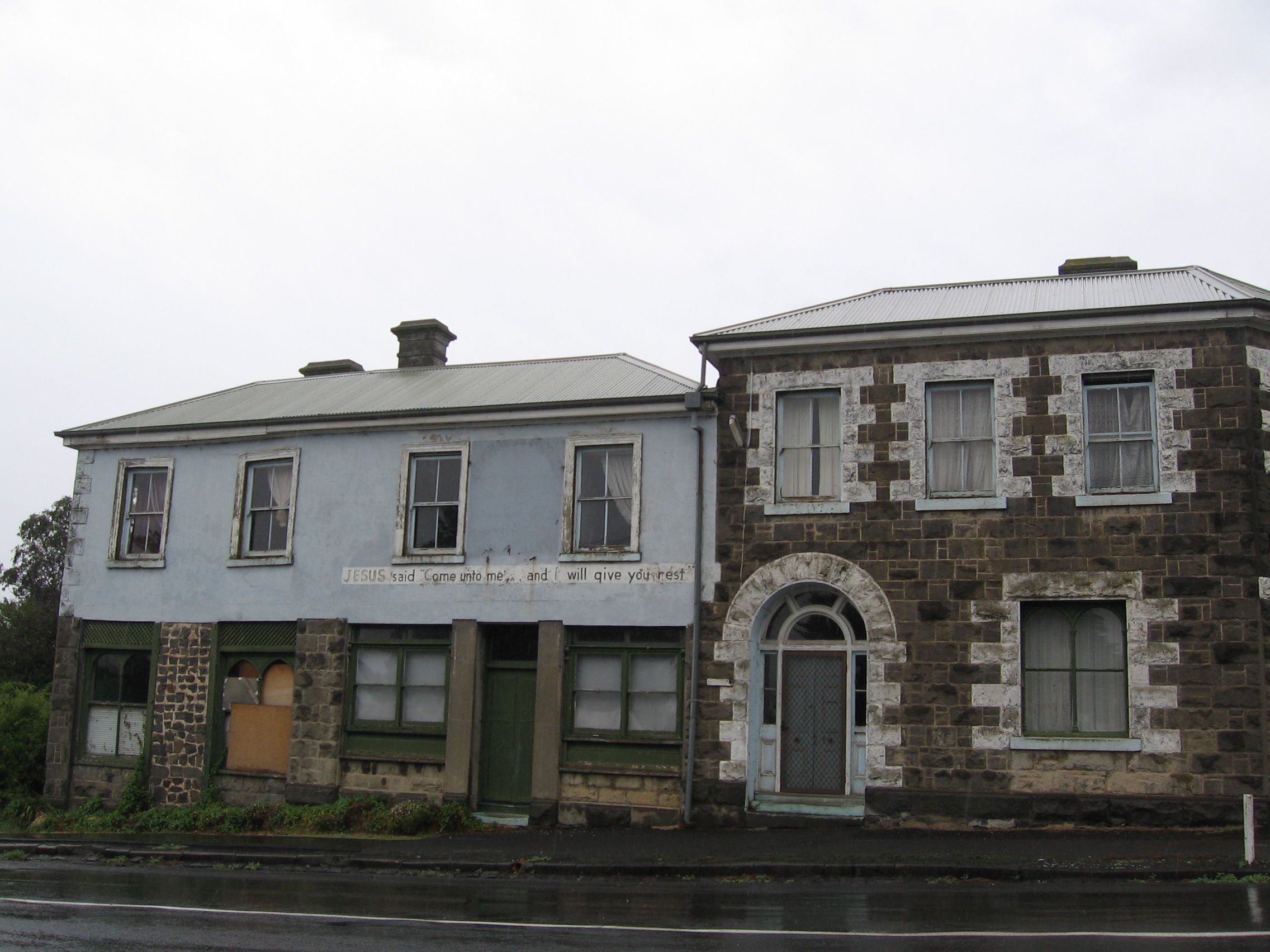
The Malmsbury area is known for its deposits of bluestone, used in the construction of notable buildings both locally and throughout the state. The town also houses the Malmsbury Youth Justice Centre, a custodial centre for young adult males aged 18-21 deemed too vulnerable for adult prison.
Malmsbury has a railway station on the Melbourne to Bendigo railway line. The railway viaduct over the Coliban River, constructed in 1859, is classified "A" by the National Trust. The town's school uses the viaduct as its emblem. A stretch of the Calder Freeway (M79) bypassing Malmsbury was officially opened on 12 April 2008, and the removal of heavy through traffic was celebrated eight days later by the holding of a "Monster Street Party" in the town.
References
- ^ a b Australian Bureau of Statistics (25 October 2007). "Malmsbury (L) (Urban Centre/Locality)". 2006 Census QuickStats. http://www.censusdata.abs.gov.au/ABSNavigation/prenav/LocationSearch?collection=Census&period=2006&areacode=UCL230800&producttype=QuickStats&breadcrumb=PL&action=401. Retrieved 2007-10-25.
- ^ Premier Postal History. "Post Office List". https://www.premierpostal.com/cgi-bin/wsProd.sh/Viewpocdwrapper.p?SortBy=VIC&country=. Retrieved 2008-04-11.
- ^ Priestly, Susan (1984). The Victorians: vol. III, Making Their Mark. McMahons Point, NSW: Fairfax, Syme & Weldon Associates. pp. 55, 75, 102. ISBN 0-949288-03-9.
External links
- Macedon Ranges Shire Council - Official site
- Visit Victoria: Malmsbury - Official Government tourism site.
- Geoscience Australia place names search: Malmsbury
Towns and localities in the Shire of Macedon Ranges
(major towns in bold)Ashbourne · Baynton · Bolinda · Bullengarook · Carlsruhe · Cherokee · Clarkefield · Cobaw · Darraweit Guim · Gisborne · Gisborne South · Hesket · Kerrie · Kyneton · Lancefield · Lauriston · Macedon · Malmsbury · Monegeetta · Monegeetta North · Mount Macedon · New Gisborne · Newham · Riddells Creek · Rochford · Romsey · Springfield · Tylden · Woodend · Woodend North
Categories:- Towns in Victoria (Australia)
- Victoria (Australia) geography stubs
- Mining towns in Victoria (Australia)
- Macedon Ranges

Wikimedia Foundation. 2010.