- Metcalfe, Victoria
-
Metcalfe
Victoria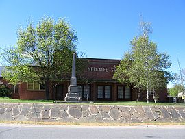
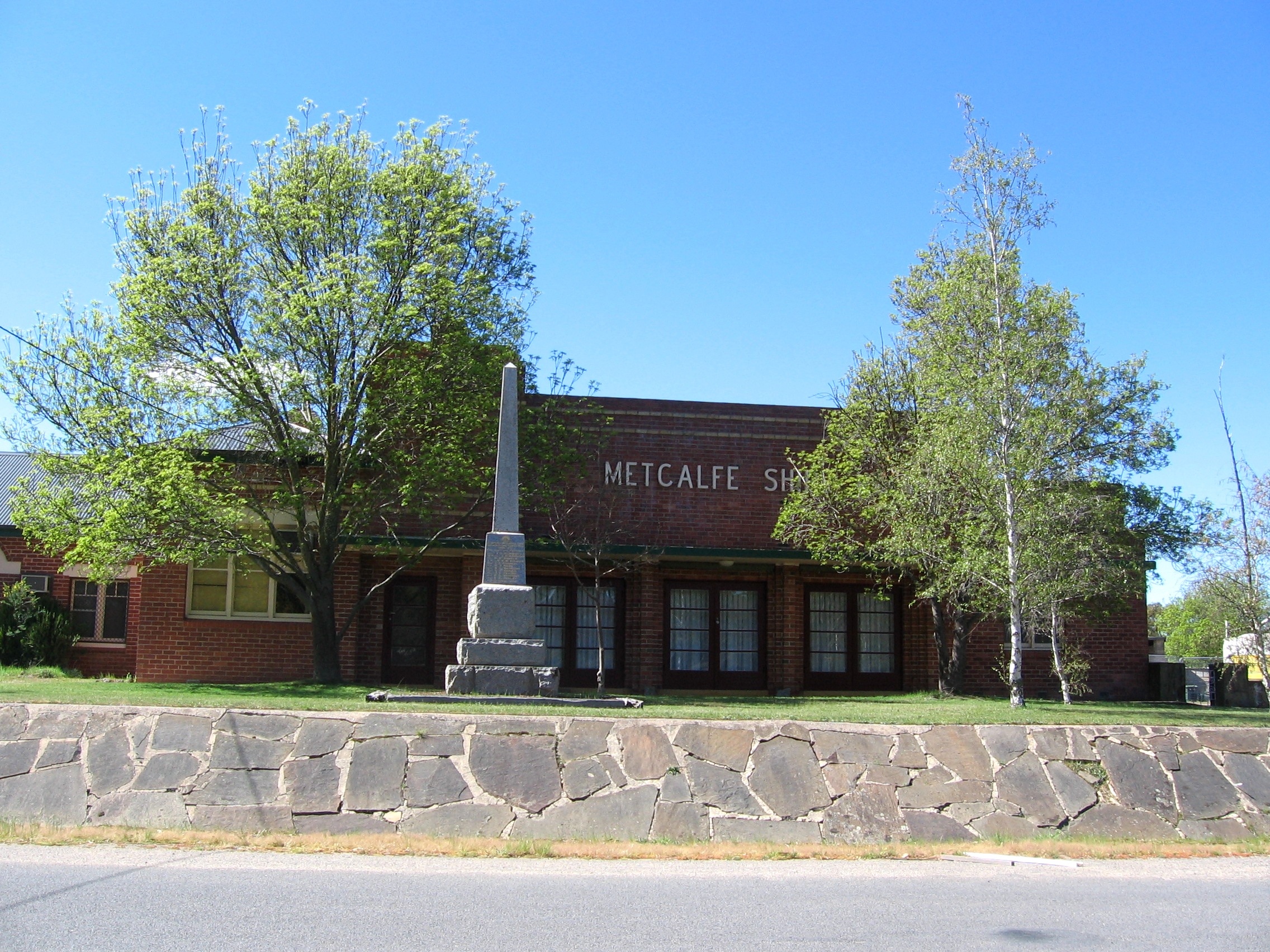
Former Shire Hall and Council chambers at Metcalfe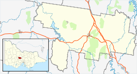
 Metcalfe
Population: 531(2006)[1] Postcode: 3448 Coordinates: 37°06′S 144°25′E / 37.1°S 144.417°ECoordinates: 37°06′S 144°25′E / 37.1°S 144.417°E Location: - 101 km (63 mi) from Melbourne
- 35 km (22 mi) from Bendigo
- 18 km (11 mi) from Kyneton
- 20 km (12 mi) from Castlemaine
LGA: Shire of Mount Alexander State District: Bendigo West Federal Division: Bendigo Localities around Metcalfe: Harcourt Eppalock Redesdale Barkers Creek Metcalfe Tooborac Elphinstone Kyneton Benloch Metcalfe is a small community in central Victoria, Australia. At the 2006 census, Metcalfe had a population of 531.[1]
Metcalfe Post Office opened on 13 December 1866. [2]
References
- ^ a b Australian Bureau of Statistics (25 October 2007). "Metcalfe (State Suburb)". 2006 Census QuickStats. http://www.censusdata.abs.gov.au/ABSNavigation/prenav/LocationSearch?collection=Census&period=2006&areacode=SSC26155&producttype=QuickStats&breadcrumb=PL&action=401. Retrieved 2007-10-01.
- ^ Premier Postal History, Post Office List, https://www.premierpostal.com/cgi-bin/wsProd.sh/Viewpocdwrapper.p?SortBy=VIC&country=, retrieved 2008-04-11
Cities, towns and localities in the Shire of Mount Alexander Cities: Townships: Barfold · Baringhup · Baringhup West · Barkers Creek · Bradford · Campbells Creek · Chewton · Elphinstone · Faraday · Fryerstown · Glenluce · Golden Point · Gower · Green Gully · Guildford · Harcourt · Irishtown · Joyces Creek · Langley · Maldon · McKenzie Hill · Metcalfe · Metcalfe East · Moonlight Flat · Muckleford · Muckleford South · Myrtle Creek · Neereman · Newstead · Nuggetty · Ravenswood South · Redesdale · Sandon · Strangways · Strathlea · Sutton Grange · Taradale · Tarilta · Tarrengower · Vaughan · Walmer · Welshmans Reef · Werona · Yandoit Hills · Yapeen
Categories:- Towns in Victoria (Australia)
- Victoria (Australia) geography stubs

Wikimedia Foundation. 2010.