- Chewton, Victoria
-
Chewton
Victoria
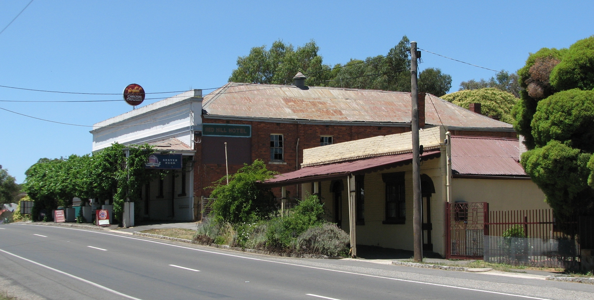
View towards Red Hill Hotel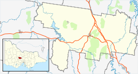
 Chewton
Population: 403[1] Postcode: 3451 Coordinates: 37°05′S 144°16′E / 37.083°S 144.267°ECoordinates: 37°05′S 144°16′E / 37.083°S 144.267°E Location: - 116 km (72 mi) north west of Melbourne
- 42 km (26 mi) S of Bendigo
- 5 km (3 mi) E of Castlemaine
LGA: Shire of Mount Alexander State District: Bendigo West Federal Division: Bendigo Chewton is a town in central Victoria, Australia. The town is located in the Shire of Mount Alexander Local Government Area, 116 kilometres north west of the state capital, Melbourne. At the 2006 census, Chewton had a population of 403.[1]
History
Prior to European settlement, the Chewton area was inhabited by the Dja Dja Wurrung Aboriginal people, part of the Kulin nation.[2] The first European in the area was the explorer Major Thomas Mitchell on his way to discovering "Australia Felix" in 1836-37. Not long after, a sheep station was established by William Campbell, which incorporated the current townsite.[3]
Gold was discovered by shepherds on Dr Barkers sheep run at nearby Barkers Creek in 1851, spawning a large gold rush. Over 30,000 diggers arrived at Chewton within three months, soon followed by prospectors from around the world, including many Chinese. The town was surveyed in 1854 with lots sold the following year. Chewton Post Office opened on 8 September 1857. A Forrest Creek Post Office had opened in 1852, which was replaced by Castlemaine in 1854.[4] The Red Hill Hotel, constructed in 1854 is still standing today. By the 1860s the alluvial gold had been exhausted and efforts turned to underground shafts in search of gold bearing quartz reefs.[3]
Underground mining saw the immigration of Welsh and Cornish miners and some mines were very successful. The Wattle Gully mine founded in 1876 is still operating today. As gold mining wound down, the population declined to 1,212 in 1891 and 454 in 1933.[3]
While close to Castlemaine the town maintains a distinct identity but is slowly becoming a suburb of greater Castlemaine.[3] Several historical buildings and sites, including the Chewton Town Hall (constructed in 1858) and the Post office (constructed in 1879) are now owned by the Chewton Domain Society, a community group established to manage the properties. The society also produces a monthly community newsletter.[5] For several years, Chewton was host to a folk music festival over the Australia Day long weekend. In 2007, the festival relocated to nearby Newstead.[6]
References
- ^ a b Australian Bureau of Statistics (25 October 2007). "Chewton (Urban Centre/Locality)". 2006 Census QuickStats. http://www.censusdata.abs.gov.au/ABSNavigation/prenav/LocationSearch?collection=Census&period=2006&areacode=UCL209300&producttype=QuickStats&breadcrumb=PL&action=401. Retrieved 2007-10-25.
- ^ "Chewton.net". http://www.chewton.net/. Retrieved 2007-06-09.
- ^ a b c d "Chewton". Sydney Morning Herald. 2004-02-08. http://www.smh.com.au/news/Victoria/Chewton/2005/02/17/1108500206310.html. Retrieved 2007-06-09.
- ^ Premier Postal History. "Post Office List". https://www.premierpostal.com/cgi-bin/wsProd.sh/Viewpocdwrapper.p?SortBy=VIC&country=. Retrieved 2008-04-11
- ^ "Chewton Domain Society". Australian Heritage. Hallmark edition. http://www.heritageaustralia.com.au/links.php?browse=c&id=2263#id. Retrieved 2007-06-11.
- ^ Ridnell, Johnathan; Printz, Jo (2006-10-16). "Chewton Folk Festival moving to Newstead?". Australian Broadcasting Corporation. http://www.abc.net.au/centralvic/stories/s1769709.htm. Retrieved 2007-06-09.[dead link]
External links
Cities, towns and localities in the Shire of Mount Alexander Cities: Townships: Barfold · Baringhup · Baringhup West · Barkers Creek · Bradford · Campbells Creek · Chewton · Elphinstone · Faraday · Fryerstown · Glenluce · Golden Point · Gower · Green Gully · Guildford · Harcourt · Irishtown · Joyces Creek · Langley · Maldon · McKenzie Hill · Metcalfe · Metcalfe East · Moonlight Flat · Muckleford · Muckleford South · Myrtle Creek · Neereman · Newstead · Nuggetty · Ravenswood South · Redesdale · Sandon · Strangways · Strathlea · Sutton Grange · Taradale · Tarilta · Tarrengower · Vaughan · Walmer · Welshmans Reef · Werona · Yandoit Hills · Yapeen
Categories:- Towns in Victoria (Australia)
- Mining towns in Victoria (Australia)

Wikimedia Foundation. 2010.