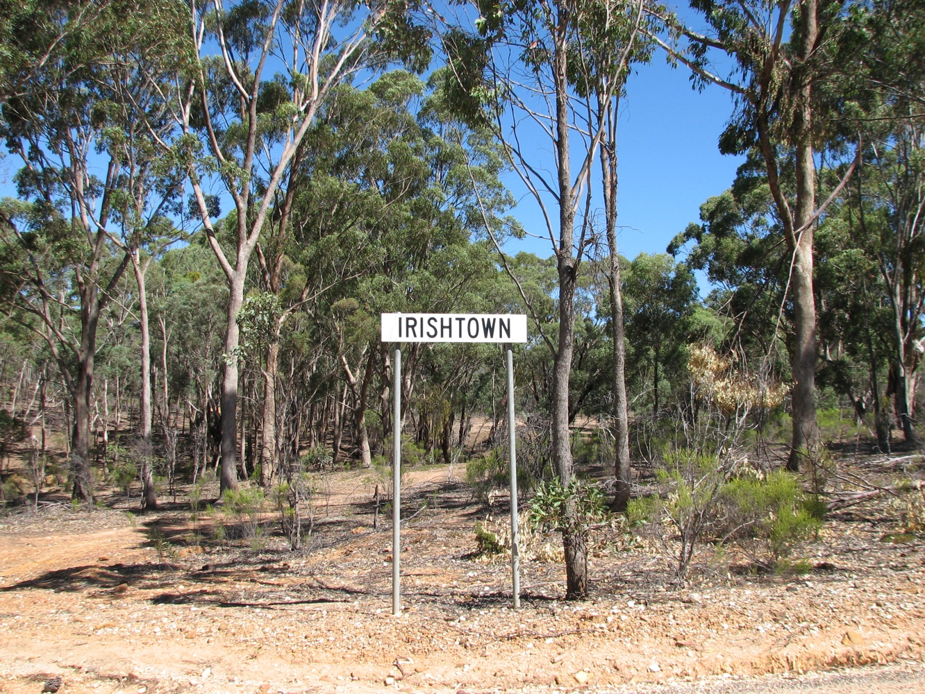
- Irishtown, Victoria
Infobox Australian Place | type = town
name = Irishtown
state = vic

caption =
lga = Shire of Mount Alexander
postcode = 3451 [cite web|title="Postcode Search|url=http://www1.auspost.com.au/postcodes/index.asp?Locality=Irishtown&sub=1&State=VIC&Postcode=&submit1=Search|publisher=Australia Post]
est =
pop =
elevation=
maxtemp =
mintemp =
rainfall =
stategov =
fedgov =
dist1 = 114
dir1 = NW
location1=Melbourne
dist2 = 13
dir2 = S
location2= Castlemaine
dist3 = 51
dir3 = S
location3= Bendigocite web|title=travelmate.com.au|url=http://www.travelmate.com.au/MapMaker/mapmaker.asp]
near-n = Fryerstown
near-ne = Fryerstown
near-e = Fryerstown
near-se = Glenluce
near-s = Glenluce
near-sw = Vaughan
near-w = Vaughan
near-nw = YapeenIrishtown is a locality near Castlemaine in Victoria,
Australia . It is noted for heritage sites associated with theVictorian Gold Rush , near or within the Castlemaine Diggings National Heritage Park. These include the Red Hill hydraulic gold sluicing site and the Burying Flat Cemetery, also known as Deadmans Gully Burial Ground. [cite web|title=Heritage Register|publisher=Heritage Victoria|url=http://www.heritage.vic.gov.au/index.asp| Victoria|accessdate=2008-03-29]A rush began to New Year's Flat on Fryers Creek on New Years Day, 1853. The rush was described by a digger as "the most animated sight of those stirring times that I ever witnessed". [cite web|title=Beneath our Feet - The Early Years|url=http://www.dpi.vic.gov.au/DPI/nrenmp.nsf/FID/-8B5B2CF1F7A00BBACA256CF00013AFE7?OpenDocument|publisher=Department of Primary Industries|accessdate=2008-03-30] The settlement arose nearby, and the Shamrock Hotel, an establishment reportedly frequented by "wild men" was subsequently built on the Vaughan Road.cite book|author=Brown, G.O.|title=Reminiscences of Fryerstown|year=1985] A Catholic Church was consecrated in 1865, the building existing until 1956 when it was demolished.
References
Wikimedia Foundation. 2010.
