- Taradale, Victoria
Infobox Australian Place | type = town
name = Taradale

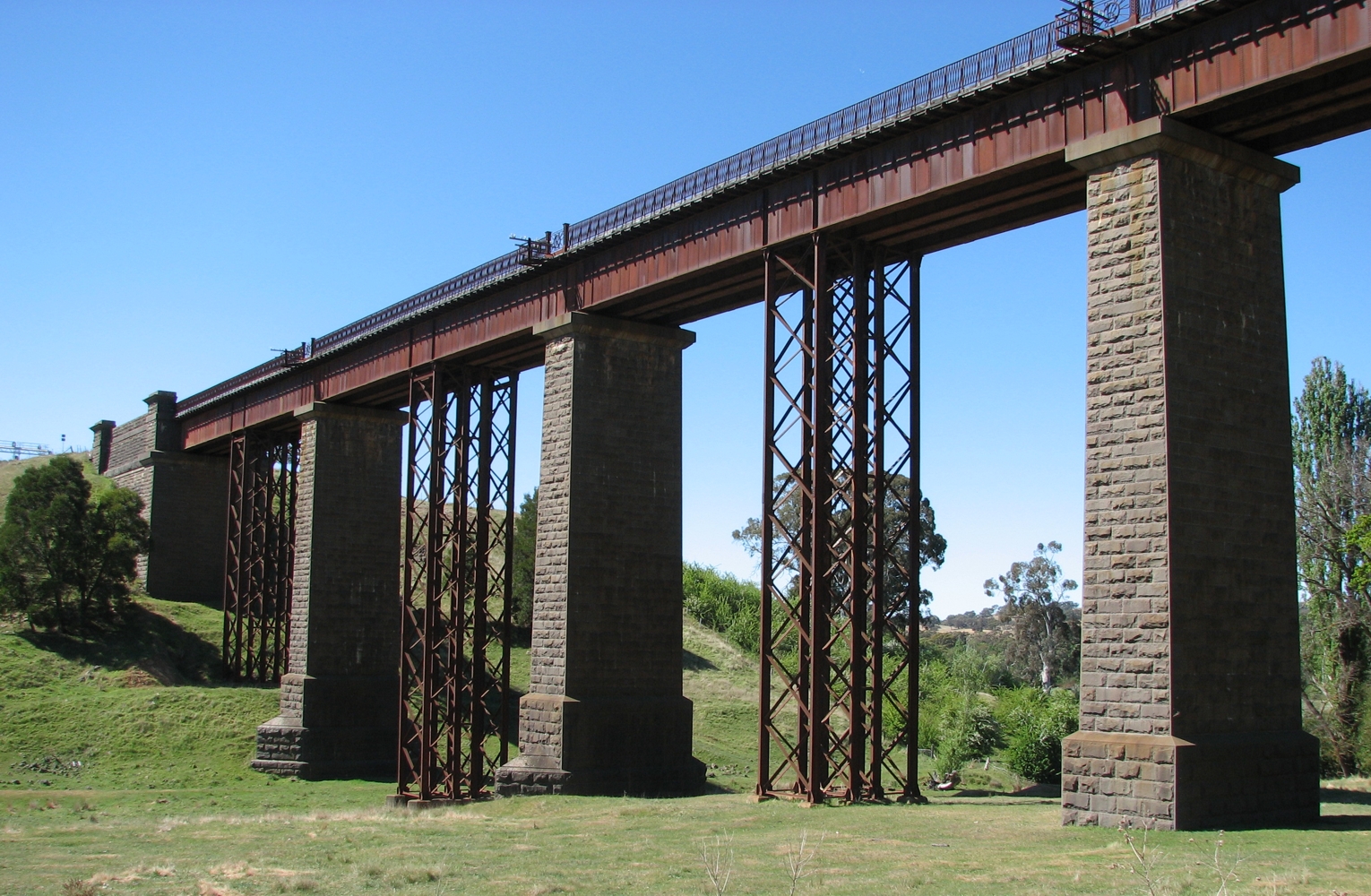
caption = Taradale Viaduct
state = vic
lga = Shire of Mount Alexander
city =
est = 1861
postcode = 3447
pop = 199 (2006) [Census 2006 AUS|id = SSC26729|name = Taradale|accessdate = 2007-06-30]
elevation = 384
propval = $200,000 [ [http://www.domain.com.au/public/suburbprofile.aspx?mode=buy&searchterm=3447 domain.com.au: Taradale] ]
stategov = Bendigo West
fedgov = Bendigo
dist1 = 103
dir1 = NW
location1=Melbourne
dist2 = 47
dir2 = SE
location2=Bendigo [ [http://www.doi.vic.gov.au/Doi/knowyour.nsf/webPageSummaries/NEWTON-Taradale-All Department of Sustainability and Environment: Know Your Area - Taradale] ]
dist3 = 18
dir3 = SE
location3= Castlemaine
dist4 = 17
dir4 = NW
location4= KynetonTaradale is a small town in Victoria,
Australia . It is located on theCalder Highway betweenMelbourne and Bendigo. Its local government area is theShire of Mount Alexander .The town is also located on the Melbourne to Bendigo Railway Line, although the station was closed in 1976. The Taradale Viaduct, which carries the railway 36 metres above Back Creek, was built between 1858 and 1862.
Taradale Post Office opened on 1 March 1856. Citation
last = Premier Postal History | title = Post Office List | url = https://www.premierpostal.com/cgi-bin/wsProd.sh/Viewpocdwrapper.p?SortBy=VIC&country= | accessdate = 2008-04-11 ]
Taradale has now been bypassed by the
Calder Freeway .References
External links
* [http://www.ga.gov.au/bin/gazd01?rec=255723 Geoscience Australia place names search: Taradale]
Wikimedia Foundation. 2010.
