- Cherokee, Victoria
-
Cherokee
Victoria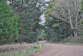
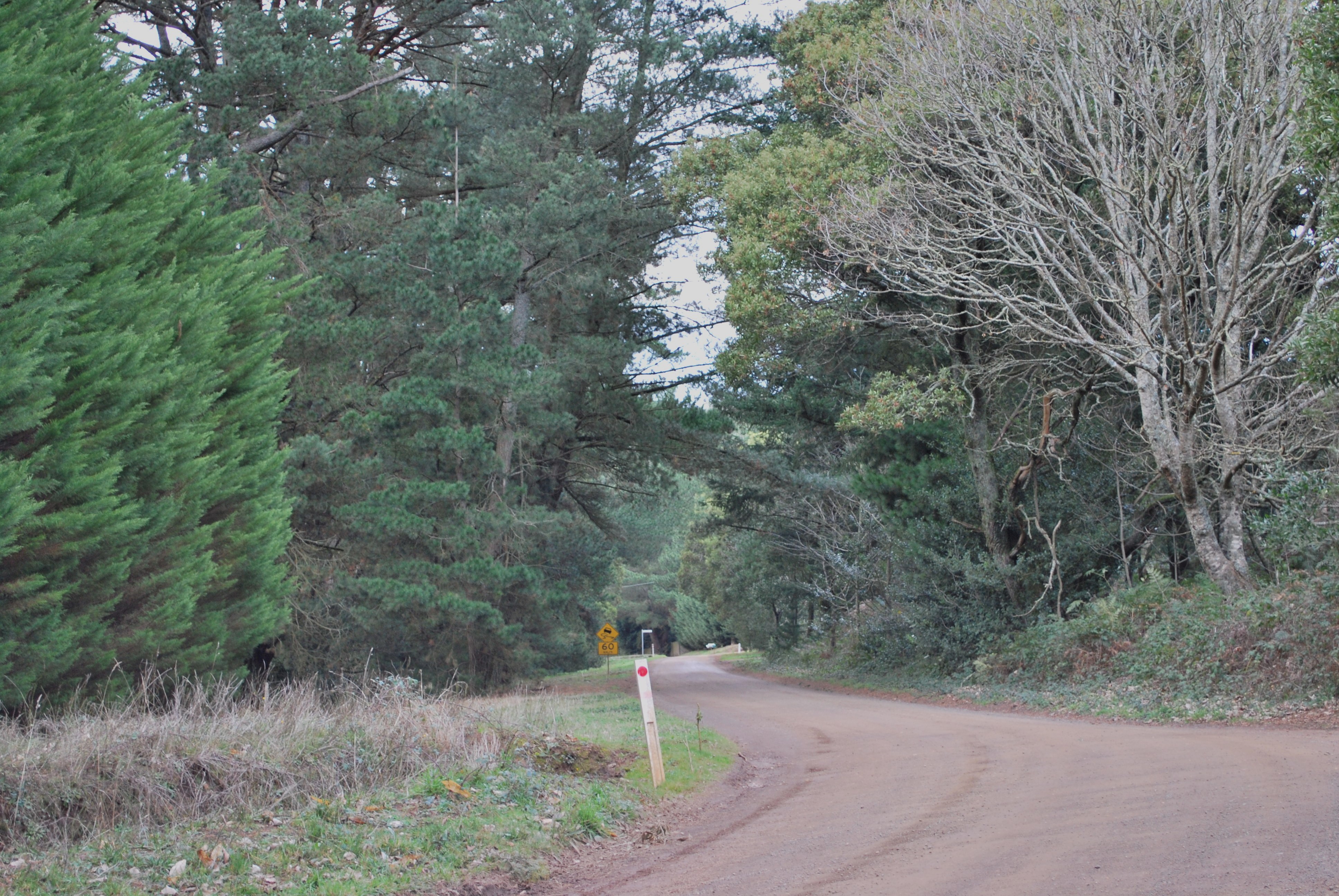
Gap Road at Cherokee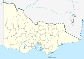
 Cherokee
Established: 1880 Postcode: 3434 Coordinates: 37°23′21″S 144°38′15″E / 37.389254°S 144.63754°ECoordinates: 37°23′21″S 144°38′15″E / 37.389254°S 144.63754°E Elevation: 730 m (2,395 ft) LGA: Shire of Macedon Ranges State District: Macedon Federal Division: McEwen Localities around Cherokee: Hesket Hesket Kerrie Mount Macedon Cherokee Kerrie Barringo Riddells Creek Riddells Creek Cherokee (pronounced /ˈtʃɛrəki/) is a very small town situated in the Macedon Ranges Shire, in Victoria, Australia. The town is located 73 kilometres (45 mi) north of the state capital, Melbourne.
The settlement as it appears today was created by land subdivision around 1880–1881, although the area was occupied by Europeans before this date. Timber mills and a school were operating by 1865, possibly earlier, in response to the demand for timber created by the Victorian gold rush.[1]
Cherokee Post Office opened on 1 July 1927 and closed in 1955.[2]
References
- ^ Smith, Gavin (1994). All Wild and Lonely Bush. Romsey: Shire of Romsey Book Committee. pp. 22 and 37. ISBN 0-646-238345.
- ^ Premier Postal History. "Post Office List". https://www.premierpostal.com/cgi-bin/wsProd.sh/Viewpocdwrapper.p?SortBy=VIC&country=. Retrieved 2008-04-11
Towns and localities in the Shire of Macedon Ranges
(major towns in bold)Ashbourne · Baynton · Bolinda · Bullengarook · Carlsruhe · Cherokee · Clarkefield · Cobaw · Darraweit Guim · Gisborne · Gisborne South · Hesket · Kerrie · Kyneton · Lancefield · Lauriston · Macedon · Malmsbury · Monegeetta · Monegeetta North · Mount Macedon · New Gisborne · Newham · Riddells Creek · Rochford · Romsey · Springfield · Tylden · Woodend · Woodend North
Categories:- Towns in Victoria (Australia)
- Macedon Ranges
- Victoria (Australia) geography stubs

Wikimedia Foundation. 2010.