- National Register of Historic Places listings in Hillsborough County, New Hampshire
-
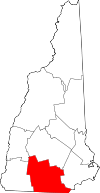 Location of Hillsborough County in New Hampshire
This is a list of the National Register of Historic Places listings in Hillsborough County, New Hampshire.
This is intended to be a complete list of the properties and districts on the National Register of Historic Places in Hillsborough County, New Hampshire, United States. Latitude and longitude coordinates are provided for many National Register properties and districts; these locations may be seen together in a Google map.[1]
There are 102 properties and districts listed on the National Register in the county, including 2 National Historic Landmarks.
Contents: Counties in New Hampshire Belknap - Carroll - Cheshire - Coos - Grafton - Hillsborough - Merrimack - Rockingham - Strafford - Sullivan -
- This National Park Service list is complete through NPS recent listings posted November 10, 2011.[2]
Current listings
[3] Landmark name [4] Image Date listed Location City or town Summary 1 Abbot House 
April 17, 1980 1 Abbott Sq.
42°45′57″N 71°28′08″W / 42.765833°N 71.468889°WNashua 2 All Saints' Church December 1, 1980 51 Concord St.
42°52′50″N 71°56′48″W / 42.880556°N 71.946667°WPeterborough 3 Amherst Village Historic District 
August 18, 1982 NH 101 and NH 122
42°51′46″N 71°37′37″W / 42.862778°N 71.626944°WAmherst 4 Ash Street School May 30, 1975 Bounded by Ash, Bridge, Maple, and Pearl Sts.
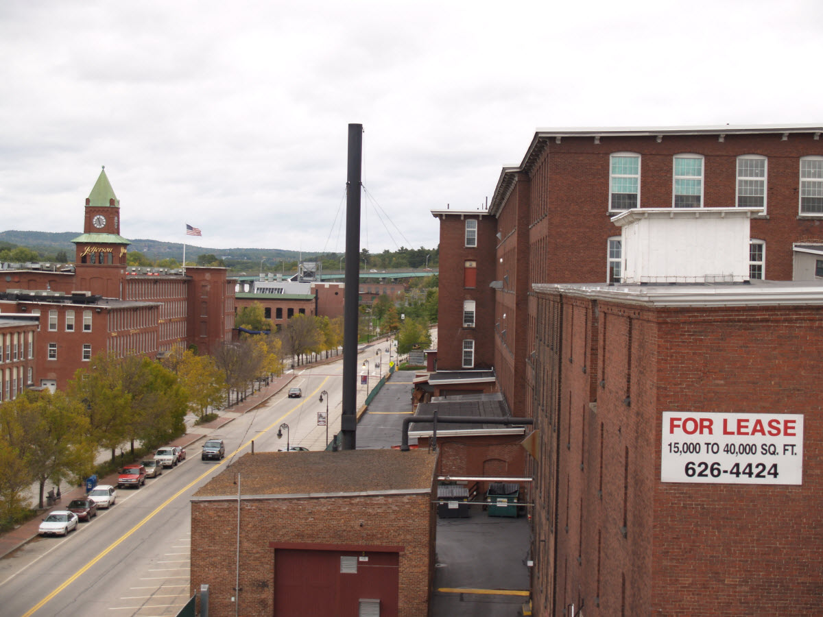
42°59′46″N 71°27′17″W / 42.996111°N 71.454722°WManchester 5 Athens Building May 30, 1975 76-96 Hanover St.
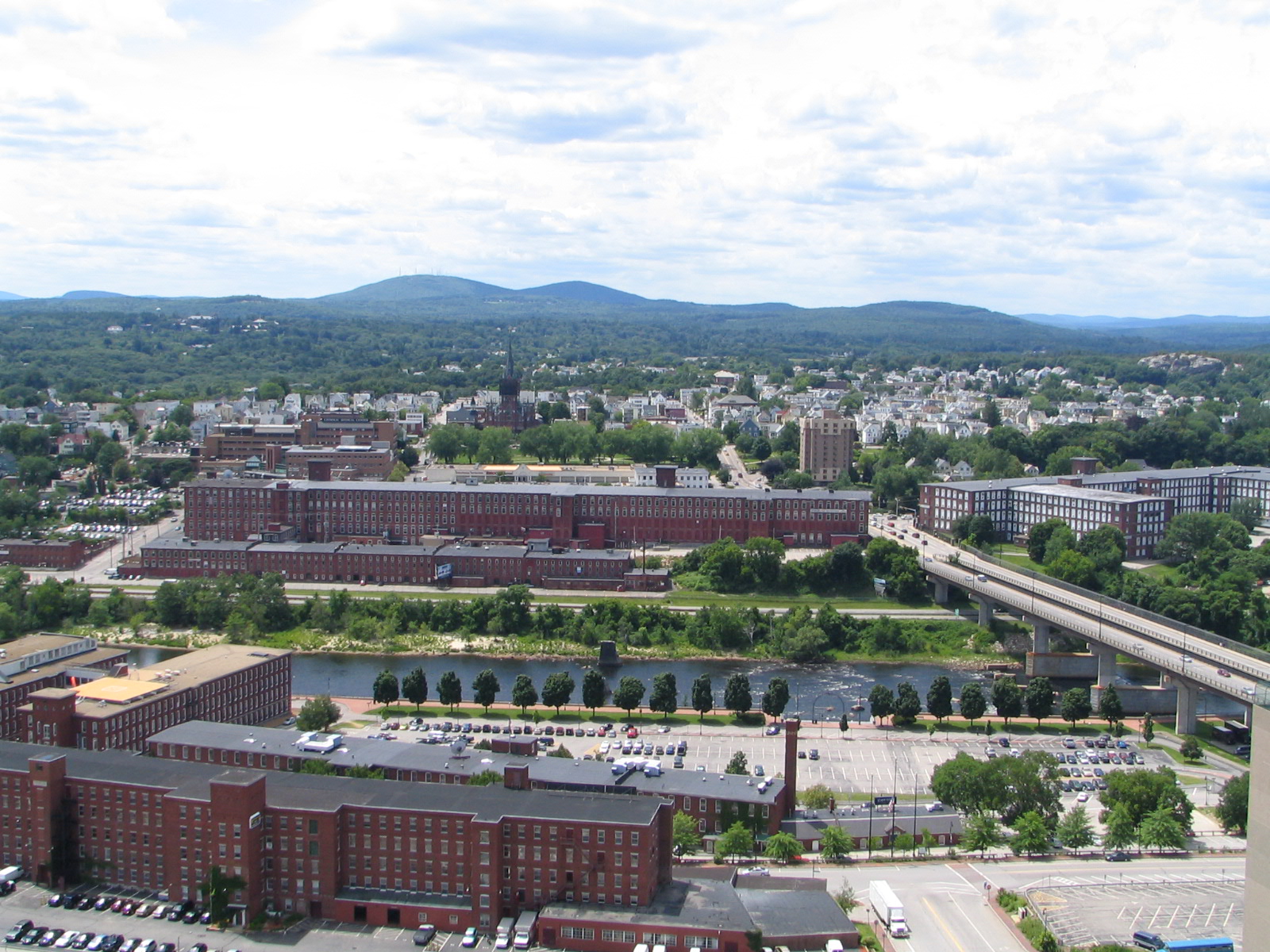
42°59′29″N 71°27′43″W / 42.991389°N 71.461944°WManchester 6 Jonathan Barnes House March 1, 1982 North Rd.
43°08′51″N 71°56′02″W / 43.1475°N 71.933889°WHillsborough Center 7 Bedford Presbyterian Church June 12, 2007 4 Church Rd.
42°56′42″N 71°31′12″W / 42.945°N 71.52°WBedford 8 Bedford Town Hall December 13, 1984 70 Bedford Center Rd.
42°56′47″N 71°30′57″W / 42.946389°N 71.515833°WBedford 9 Bennington Village Historic District April 19, 2010 Antrim Rd, Main St, School St, Cross St, Grancestown Rd, South Bennington Rd, Acre St, Old Stagecoach Rd, Starrett Rd.
43°00′11″N 71°55′28″W / 43.003053°N 71.924442°WBennington 10 Birchwood Inn June 6, 1985 NH 45
42°49′12″N 71°51′04″W / 42.82°N 71.851111°WTemple 11 Brick Schoolhouse September 14, 2002 432 NH 123
42°48′52″N 71°55′00″W / 42.814444°N 71.916667°WSharon 12 Building at 418-420 Notre Dame Ave. December 20, 1996 418-420 Notre Dame Ave.
42°59′35″N 71°28′34″W / 42.993056°N 71.476111°WManchester 13 Carpenter and Bean Block December 13, 2002 1382-1414 Elm St.
42°59′52″N 71°27′53″W / 42.997778°N 71.464722°WManchester 14 Frank Pierce Carpenter House March 17, 1994 1800 Elm St.
43°00′17″N 71°27′57″W / 43.004722°N 71.465833°WManchester 15 Amos Chase House and Mill March 12, 1992 Western side of NH 114, 1/8 mile south of its junction with NH 77
43°06′32″N 71°45′01″W / 43.108889°N 71.750278°WWeare 16 Citizens' Hall December 9, 1999 13-12 Citizens' Hall Rd.
42°52′44″N 71°47′05″W / 42.878889°N 71.784722°WLyndeborough 17 Contoocook Mills Industrial District June 10, 1975 Between Mill St. and the Contoocook River; also Mill St.
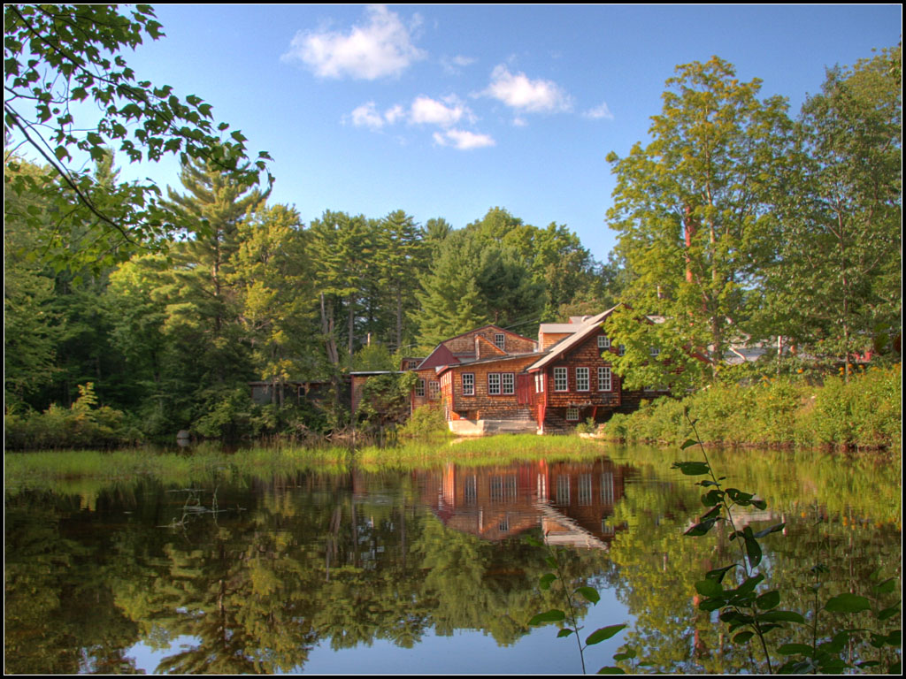
43°06′48″N 71°53′40″W / 43.113333°N 71.894444°WHillsborough Mill St. represents a boundary increase 18 County Farm Bridge May 14, 1981 Northwest of Wilton on Old County Farm Rd.
42°51′25″N 71°49′03″W / 42.856944°N 71.8175°WWilton 19 Daniel Cragin Mill 
March 23, 1982 West of Wilton at the junction of Davisville Rd. and the Burton Highway
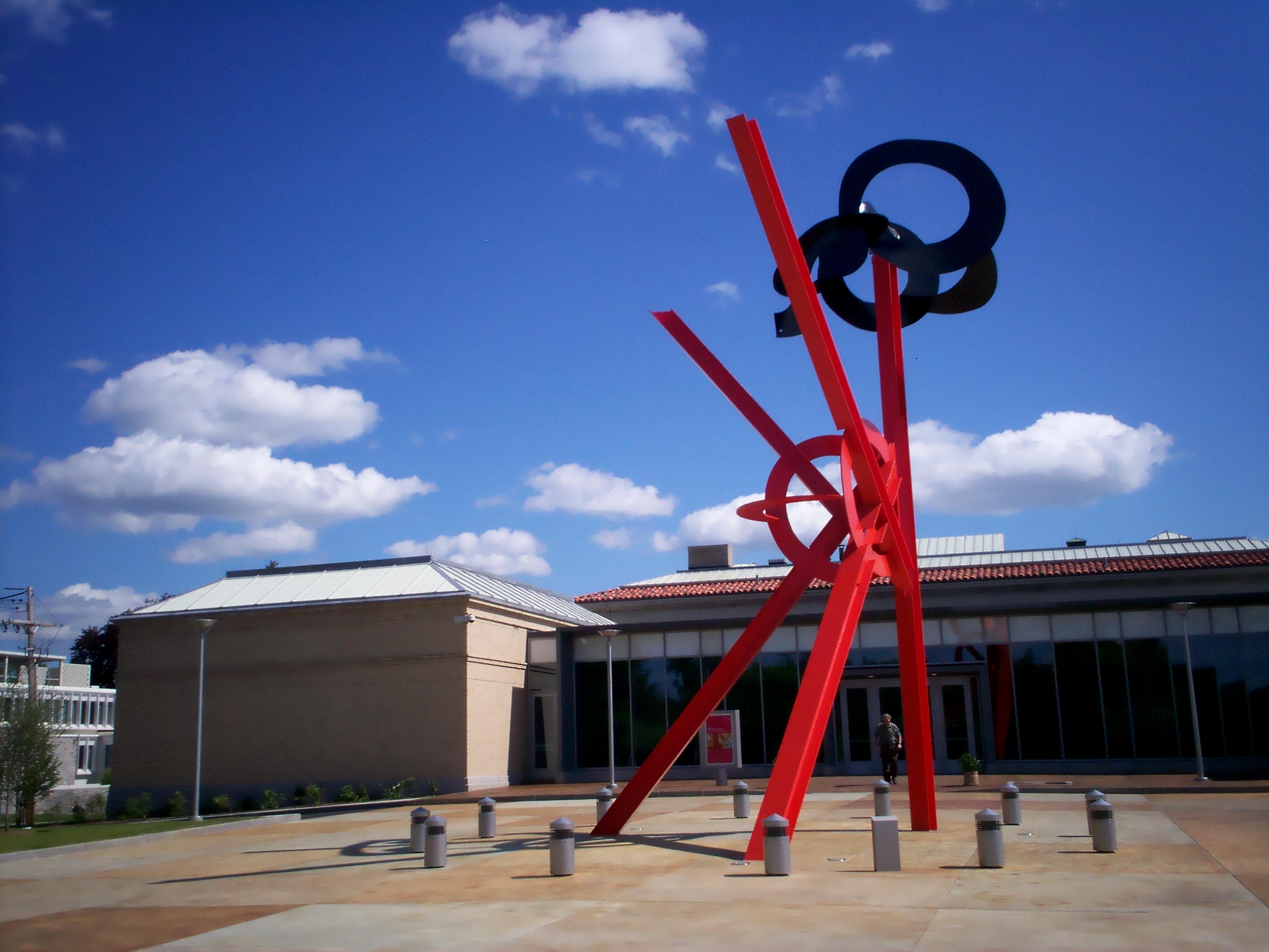
42°51′22″N 71°47′20″W / 42.856111°N 71.788889°WWilton Also known as Frye's Measure Mill 20 Currier Gallery of Art 
December 19, 1979 192 Orange St.
42°59′52″N 71°27′21″W / 42.997778°N 71.455833°WManchester 21 District A 
November 12, 1982 Bounded by Pleasant, State, Granite, and Bedford Sts.
42°59′14″N 71°28′05″W / 42.987222°N 71.468056°WManchester Portion of Amoskeag Millyard 22 District B 
November 12, 1982 Roughly bounded by Canal, Mechanic, Franklin, and Pleasant Sts.
42°59′25″N 71°27′57″W / 42.990278°N 71.465833°WManchester Portion of Amoskeag Millyard 23 District C 
November 12, 1982 Roughly bounded by N. Hampshire Lane, Hollis, Canal, and Bridge Sts.
42°59′43″N 71°27′55″W / 42.995278°N 71.465278°WManchester Portion of Amoskeag Millyard 24 District D 
November 12, 1982 Roughly bounded by Canal, Langdon, Elm, and W. Brook Sts.
42°59′57″N 71°27′59″W / 42.999167°N 71.466389°WManchester Portion of Amoskeag Millyard 25 District E 
November 12, 1982 258-322 McGregor St.
42°59′40″N 71°28′27″W / 42.994444°N 71.474167°WManchester Portion of Amoskeag Millyard 26 Dunlap Building June 9, 2004 967 Elm St.
42°59′30″N 71°27′48″W / 42.991667°N 71.463333°WManchester 27 The Flint Estate December 13, 1984 Old Keene and Old Center Rd.
43°05′04″N 71°58′40″W / 43.084444°N 71.977778°WAntrim 28 Francestown Meetinghouse June 14, 1999 NH 136
42°59′14″N 71°48′46″W / 42.987222°N 71.812778°WFrancestown 29 Alpheus Gay House March 9, 1982 184 Myrtle St.
42°59′53″N 71°27′25″W / 42.998056°N 71.456944°WManchester 30 Goffstown Congregational Church March 1, 1996 10 Main St.
43°01′10″N 71°36′03″W / 43.019444°N 71.600833°WGoffstown 31 Goffstown Covered Railroad Bridge June 18, 1975 NH 114 (Main St.) over the Piscataquog River
43°01′04″N 71°35′58″W / 43.017778°N 71.599444°WGoffstown 32 Goffstown High School December 19, 1997 12 Reed St.
43°01′10″N 71°35′54″W / 43.019444°N 71.598333°WGoffstown 33 Goffstown Main Street Historic District 
March 15, 2007 Selected buildings on Church St., Depot St., High St., Main St., and N. Mast St.
43°01′09″N 71°36′00″W / 43.019145°N 71.599896°WGoffstown 34 Goffstown Public Library 
December 7, 1995 2 High St.
43°01′14″N 71°36′01″W / 43.020556°N 71.600278°WGoffstown 35 Grasmere Schoolhouse #9 and Town Hall September 5, 1990 87 Center St.
43°01′18″N 71°32′46″W / 43.021667°N 71.546111°WGoffstown In village of Grasmere 36 Greenfield Meeting House December 8, 1983 Forest Rd.
42°57′03″N 71°52′21″W / 42.950833°N 71.8725°WGreenfield 37 Hamblet-Putnam-Frye House June 22, 2000 293 Burton Highway
42°51′23″N 71°47′28″W / 42.856389°N 71.791111°WWilton 38 Hancock Village Historic District March 8, 1988 Main St. roughly between Norway Pond La. and Old Dublin Rd., and Bennington and Norway Hill Rds.
42°58′22″N 71°58′59″W / 42.972778°N 71.983056°WHancock 39 Hancock-Greenfield Bridge 
May 5, 1981 Forest Rd.
42°57′25″N 71°56′08″W / 42.956944°N 71.935556°WHancock Over Contoocook River 40 Harrington-Smith Block January 28, 1987 18-52 Hanover St.
42°59′28″N 71°27′44″W / 42.991111°N 71.462222°WManchester 41 Hill-Lassonde House December 2, 1985 269 Hanover St.
42°59′27″N 71°27′21″W / 42.990833°N 71.455833°WManchester 42 Hills House 
April 8, 1983 211 Derry Rd.
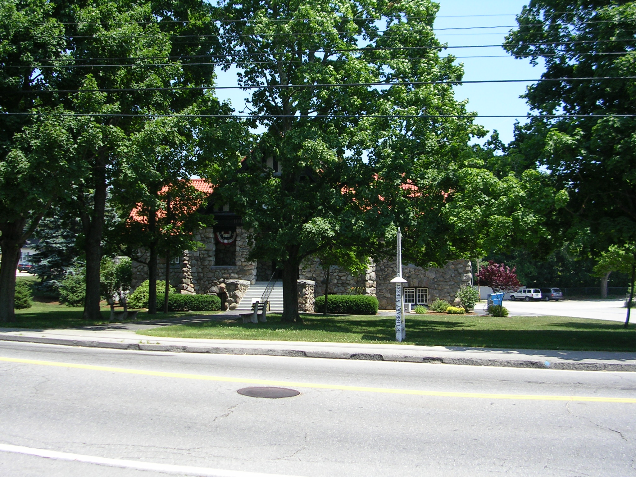
42°47′46″N 71°26′05″W / 42.796111°N 71.434722°WHudson 43 Hills Memorial Library 
June 7, 1984 16 Library St.
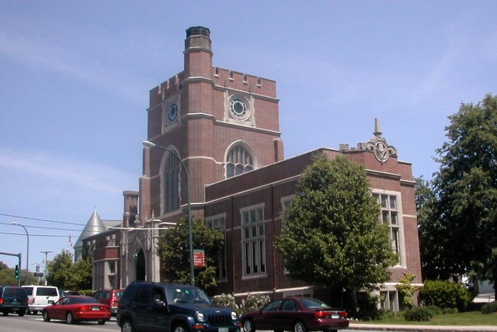
42°45′54″N 71°26′19″W / 42.765°N 71.438611°WHudson 44 Hillsborough County Courthouse 
June 6, 1985 19 Temple St.
42°45′41″N 71°27′54″W / 42.761389°N 71.465°WNashua 45 Hillsborough Railroad Bridge June 10, 1975 Spans the Contoocook River southwest of NH 149
43°06′48″N 71°53′44″W / 43.113333°N 71.895556°WHillsborough 46 Hollis Village Historic District 
March 2, 2001 Roughly parts of Ash St., Broad St., Cleasby Ln., Depot Rd., Main St., Monument Sq. and Silver Lake Rd.
42°44′17″N 71°35′05″W / 42.738056°N 71.584722°WHollis 47 Hoyt Shoe Factory November 7, 1985 477 Silver and 170 Lincoln Sts.
42°58′38″N 71°27′05″W / 42.977222°N 71.451389°WManchester 48 Thomas Russell Hubbard House March 8, 1988 220 Myrtle St.
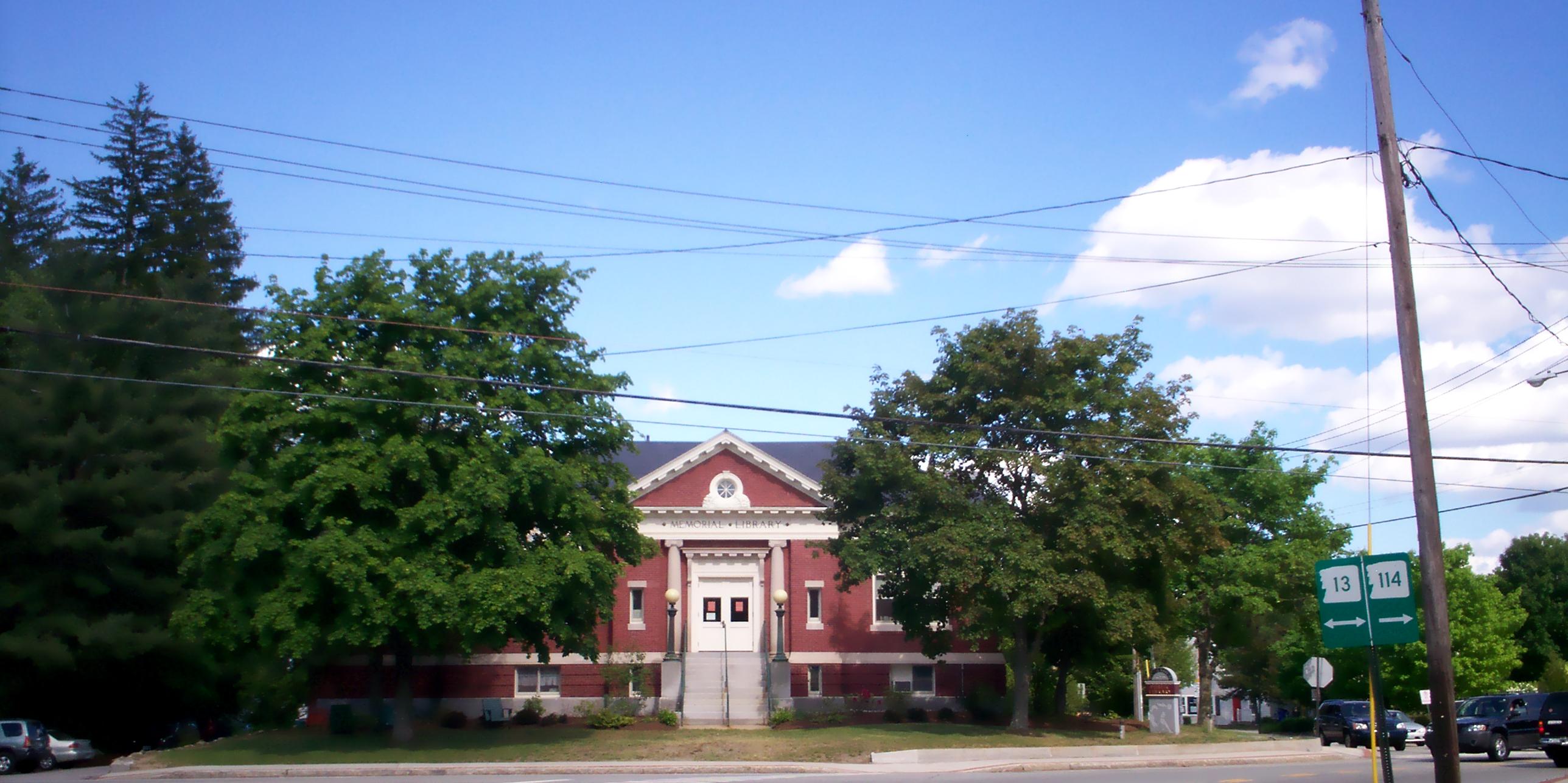
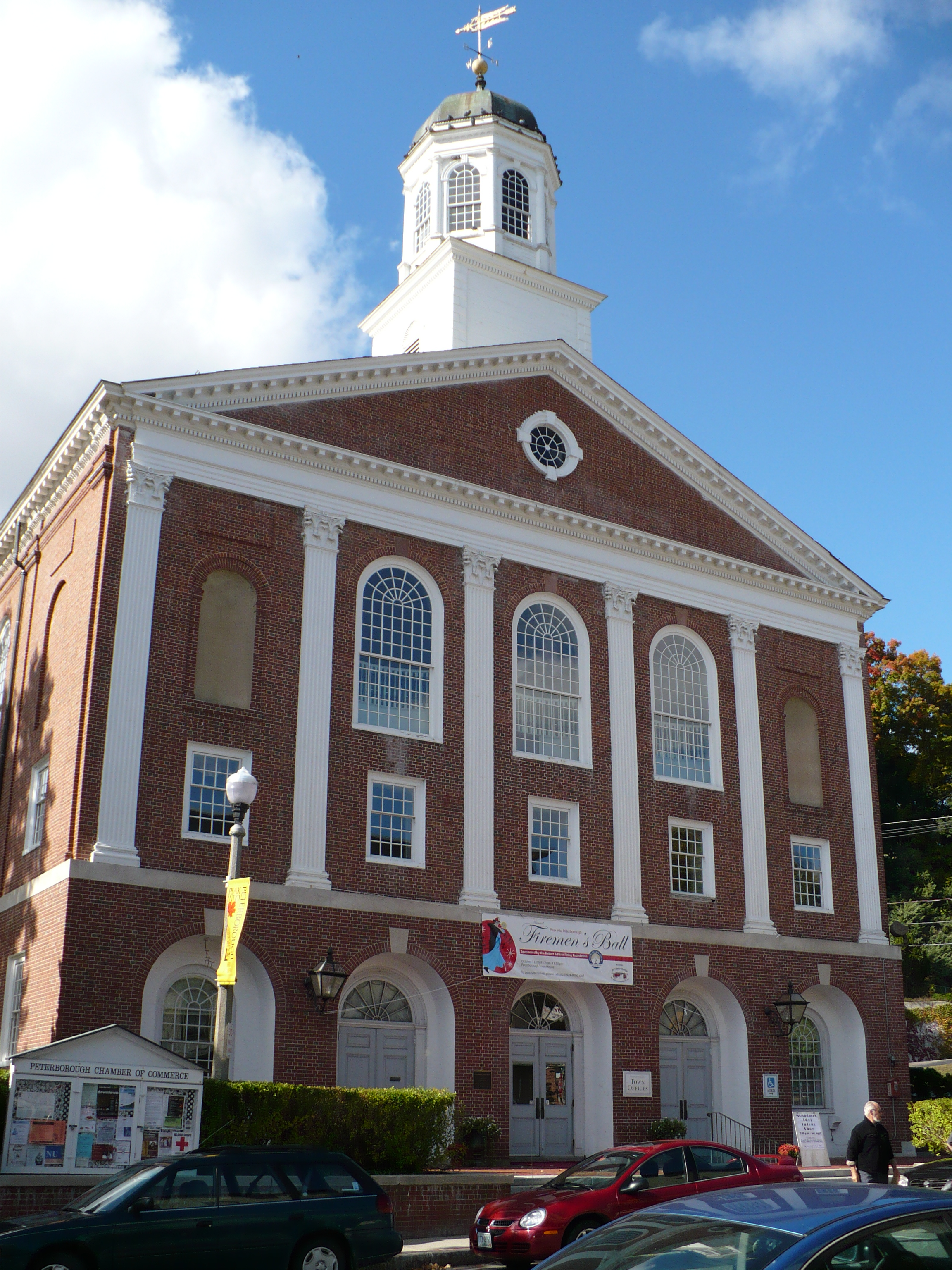
42°59′54″N 71°27′17″W / 42.998333°N 71.454722°WManchester 49 Hunt Memorial Library 
June 28, 1971 6 Main St.
42°45′23″N 71°27′50″W / 42.756389°N 71.463889°WNashua 50 Kennedy Hill Farm June 7, 1984 Kennedy Hill Rd.
42°59′47″N 71°32′21″W / 42.996389°N 71.539167°WGoffstown 51 Killicut-Way House December 1, 1989 2 Old House Ln.
42°43′55″N 71°28′15″W / 42.731944°N 71.470833°WNashua 52 Kimball Brothers Shoe Factory November 7, 1985 335 Cypress St.
42°58′55″N 71°26′22″W / 42.981944°N 71.439444°WManchester 53 Lamson Farm February 24, 1981 Lamson Rd.
42°55′17″N 71°41′07″W / 42.921389°N 71.685278°WMont Vernon 54 Lyndeborough Center Historic District June 7, 1984 Center Rd.
42°54′24″N 71°46′02″W / 42.906667°N 71.767222°WLyndeborough Center 55 MacDowell Colony October 15, 1966 West of U.S. Route 202
42°53′27″N 71°57′39″W / 42.890833°N 71.960833°WPeterborough An artists' colony. 56 Manchester City Hall June 13, 1975 908 Elm St.
42°59′28″N 71°27′50″W / 42.991111°N 71.463889°WManchester 57 McClure-Hilton House 
December 1, 1989 16 Tinker Rd.
42°48′40″N 71°31′45″W / 42.811111°N 71.529167°WMerrimack 58 The Meetinghouse March 11, 1982 Monument Sq.
42°44′22″N 71°35′18″W / 42.739444°N 71.588333°WHollis 59 Milford Cotton and Woolen Manufacturing Company August 18, 1982 2 Bridge St.
42°50′11″N 71°38′57″W / 42.836389°N 71.649167°WMilford 60 Milford Town House and Library Annex December 1, 1988 Nashua St.
42°50′08″N 71°38′58″W / 42.835556°N 71.649444°WMilford 61 Nashua Manufacturing Company Historic District 
September 11, 1987 Factory and Pine Sts.
42°45′35″N 71°28′22″W / 42.759722°N 71.472778°WNashua 62 Nashville Historic District 
December 13, 1984 Roughly centered on junction of Main, Amherst, and Concord Streets
42°46′08″N 71°27′59″W / 42.768889°N 71.466389°WNashua 63 New England Glassworks Site June 10, 1975 Address Restricted Temple 64 New Hampshire State Union Armory August 10, 1982 60 Pleasant St.
42°59′18″N 71°27′57″W / 42.988333°N 71.465833°WManchester 65 New Ipswich Center Village Historic District September 3, 1991 Roughly bounded by Turnpike Rd., Porter Hill Rd., Main St., NH 123A, Preston Hill, Manley, and King Rds.
42°45′10″N 71°51′22″W / 42.752778°N 71.856111°WNew Ipswich 66 New Ipswich Town Hall December 13, 1984 Main St.
42°44′53″N 71°51′17″W / 42.748056°N 71.854722°WNew Ipswich 67 Marion Nichols Summer Home December 10, 2003 56 Love Lane
42°44′04″N 71°36′02″W / 42.734444°N 71.600556°WHollis 68 North Weare Schoolhouse September 6, 1995 Northern side of Old Concord Stage Rd. east of its junction with NH 114
43°06′40″N 71°44′56″W / 43.111111°N 71.748889°WWeare 69 Old County Road South Historic District May 15, 1980 South of Francestown off NH 136
42°58′27″N 71°48′22″W / 42.974167°N 71.806111°WFrancestown 70 Old Post Office Block December 1, 1986 54-72 Hanover St.
42°59′28″N 71°27′44″W / 42.991111°N 71.462222°WManchester 71 Parker's Store May 14, 1980 West of Goffstown on NH 114
43°01′34″N 71°37′42″W / 43.026111°N 71.628333°WGoffstown 72 William Peabody House November 30, 1979 N. River Rd.
42°50′38″N 71°39′56″W / 42.843889°N 71.665556°WMilford 73 Pelham Library and Memorial Building April 15, 2011 5 Main St.
42°44′02″N 71°19′19″W / 42.733889°N 71.321944°WPelham 74 Peterborough Town House 
February 29, 1996 1 Grove St.
42°52′38″N 71°57′04″W / 42.877222°N 71.951111°WPeterborough 75 Peterborough Unitarian Church April 23, 1973 Main and Summer Sts.
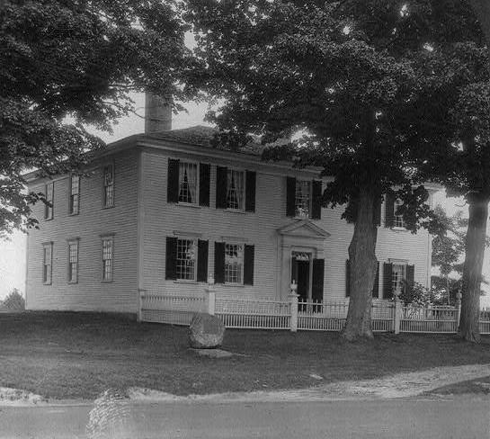
42°52′40″N 71°57′00″W / 42.877778°N 71.95°WPeterborough 76 Franklin Pierce Homestead 
October 15, 1966 3 mi (4.8 km) west of Hillsborough on NH 31
43°06′58″N 71°57′03″W / 43.116111°N 71.950833°WHillsborough Childhood home of U.S. President Franklin Pierce. 77 St. George's School and Convent September 12, 1985 12 Orange St.
42°59′49″N 71°27′36″W / 42.996944°N 71.46°WManchester 78 G.O. Sanders House 
February 27, 1986 10 Derry St.
42°45′57″N 71°26′26″W / 42.765833°N 71.440556°WHudson 79 Signer's House and Matthew Thornton Cemetery 
December 22, 1978 South of Merrimack on U.S. Route 3
42°50′23″N 71°29′30″W / 42.839722°N 71.491667°WMerrimack 80 Smith and Dow Block December 13, 2002 1426-1470 Elm St.
42°59′54″N 71°27′54″W / 42.998333°N 71.465°WManchester 81 Gov. John Butler Smith House September 14, 2002 62 School St.
43°06′59″N 71°53′47″W / 43.116389°N 71.896389°WHillsborough 82 Smyth Tower July 24, 1978 718 Smyth Rd.
43°00′44″N 71°26′35″W / 43.012222°N 71.443056°WManchester 83 Stark Park June 14, 2006 Bounded by N. River Rd., Park Ave., and the Merrimack River
43°00′52″N 71°28′17″W / 43.014444°N 71.471389°WManchester 84 Gen. George Stark House 
November 25, 1980 22 Concord St.
42°46′05″N 71°28′04″W / 42.768056°N 71.467778°WNashua 85 Gen. John Stark House June 29, 1973 2000 Elm St.
43°00′30″N 71°28′00″W / 43.008333°N 71.466667°WManchester 86 Stonyfield Farm August 3, 1983 Northwest of Wilton on Foster Rd.
42°52′00″N 71°47′24″W / 42.866667°N 71.79°WWilton 87 William Parker Straw House December 8, 1987 282 N. River Rd.
43°00′26″N 71°28′09″W / 43.007222°N 71.469167°WManchester 88 Roger Sullivan House March 10, 2004 168 Walnut St.
42°59′54″N 71°27′30″W / 42.998333°N 71.458333°WManchester 89 Temple Town Hall June 12, 2007 Main St., junction of NH 45 and the Gen. Miller Highway
42°49′12″N 71°51′08″W / 42.82°N 71.852222°WTemple 90 Union Chapel February 3, 2009 220 Sawmill Rd.
43°06′46″N 71°56′37″W / 43.112844°N 71.943678°WHillsborough 91 US Post Office-Peterborough Main July 17, 1986 23 Grove St.
42°52′36″N 71°57′04″W / 42.876667°N 71.951111°WPeterborough 92 Valley Cemetery September 10, 2004 Pine and Auburn Sts.
42°58′59″N 71°27′40″W / 42.983056°N 71.461111°WManchester 93 Varney School January 11, 1982 84 Varney St.
42°58′49″N 71°28′43″W / 42.980278°N 71.478611°WManchester 94 Victory Park Historic District June 3, 1996 405 Pine, 148 Concord, and 111 and 129 Amherst Sts.
42°59′32″N 71°27′37″W / 42.992222°N 71.460278°WManchester 95 Weare Town House December 2, 1985 NH 114
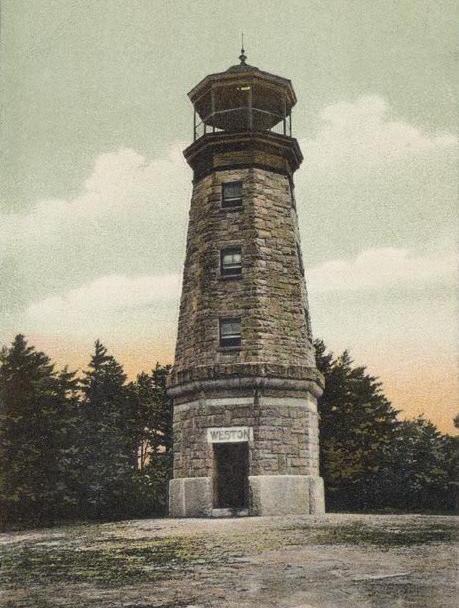
43°05′45″N 71°43′51″W / 43.095833°N 71.730833°WWeare 96 Weston Observatory 
May 28, 1975 Oak Hill, Derryfield Park
43°00′04″N 71°26′21″W / 43.001111°N 71.439167°WManchester 97 Oliver Whiting Homestead March 9, 1982 Old County Farm Rd.
42°51′18″N 71°49′21″W / 42.855°N 71.8225°WWilton 98 Caleb Whittaker Place August 3, 1983 Perkins Pond Rd.
43°02′46″N 71°44′29″W / 43.046111°N 71.741389°WWeare 99 Wilton Public and Gregg Free Library January 11, 1982 Forest St.
42°50′43″N 71°44′20″W / 42.845278°N 71.738889°WWilton 100 Wilton Town Hall 
April 20, 2009 42 Main St.
42°50′37″N 71°44′16″W / 42.843494°N 71.737639°WWilton 101 Levi Woodbury Homestead March 15, 2007 1 Main St.
42°59′14″N 71°48′48″W / 42.987222°N 71.813333°WFrancestown 102 Zimmerman House October 18, 1979 223 Heather St.
43°01′18″N 71°27′47″W / 43.021667°N 71.463056°WManchester See also
- List of National Historic Landmarks in New Hampshire
- National Register of Historic Places listings in New Hampshire
References
- ^ The latitude and longitude information provided in this table was derived originally from the National Register Information System, which has been found to be fairly accurate for about 99% of listings. For about 1% of NRIS original coordinates, experience has shown that one or both coordinates are typos or otherwise extremely far off; some corrections may have been made. A more subtle problem causes many locations to be off by up to 150 yards, depending on location in the country: most NRIS coordinates were derived from tracing out latitude and longitudes off of USGS topographical quadrant maps created under the North American Datum of 1927, which differs from the current, highly accurate WGS84 GPS system used by Google maps. Chicago is about right, but NRIS longitudes in Washington are higher by about 4.5 seconds, and are lower by about 2.0 seconds in Maine. Latitudes differ by about 1.0 second in Florida. Some locations in this table may have been corrected to current GPS standards.
- ^ "National Register of Historic Places: Weekly List Actions". National Park Service, United States Department of the Interior. Retrieved on November 10, 2011.
- ^ Numbers represent an ordering by significant words. Various colorings, defined here, differentiate National Historic Landmark sites and National Register of Historic Places Districts from other NRHP buildings, structures, sites or objects.
- ^ "National Register Information System". National Register of Historic Places. National Park Service. . http://nrhp.focus.nps.gov/natreg/docs/All_Data.html.
U.S. National Register of Historic Places Topics Lists by states Alabama • Alaska • Arizona • Arkansas • California • Colorado • Connecticut • Delaware • Florida • Georgia • Hawaii • Idaho • Illinois • Indiana • Iowa • Kansas • Kentucky • Louisiana • Maine • Maryland • Massachusetts • Michigan • Minnesota • Mississippi • Missouri • Montana • Nebraska • Nevada • New Hampshire • New Jersey • New Mexico • New York • North Carolina • North Dakota • Ohio • Oklahoma • Oregon • Pennsylvania • Rhode Island • South Carolina • South Dakota • Tennessee • Texas • Utah • Vermont • Virginia • Washington • West Virginia • Wisconsin • WyomingLists by territories Lists by associated states Other Municipalities and communities of Hillsborough County, New Hampshire Cities 
Towns Amherst | Antrim | Bedford | Bennington | Brookline | Deering | Francestown | Goffstown | Greenfield | Greenville | Hancock | Hillsborough | Hollis | Hudson | Litchfield | Lyndeborough | Mason | Merrimack | Milford | Mont Vernon | New Boston | New Ipswich | Pelham | Peterborough | Sharon | Temple | Weare | Wilton | Windsor
Villages East Merrimack | Grasmere | Pinardville
Categories:- National Register of Historic Places in New Hampshire by county
- Hillsborough County, New Hampshire
-


Wikimedia Foundation. 2010.