- Bennington, New Hampshire
Infobox Settlement
official_name = Bennington, New Hampshire
nickname =
motto =
image_
imagesize =
image_caption = Great Falls, Contoocook River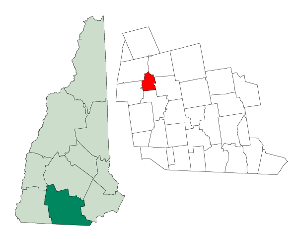
mapsize = 250px
map_caption = Location in Hillsborough County,New Hampshire
settlement_type = Town
mapsize1 =
map_caption1 =
subdivision_type = Country
subdivision_name =United States
subdivision_type1 = State
subdivision_name1 =New Hampshire
subdivision_type2 = County
subdivision_name2 = Hillsborough
government_type =
leader_title =Board of Selectmen
leader_name = Philip R. Germain, Chairman
James E. Trow
Joseph C. Cuddemi
established_title = Incorporated
established_date = 1842
area_magnitude = 1 E8
area_total_km2 = 29.3
area_total_sq_mi = 11.3
area_land_km2 = 28.6
area_land_sq_mi = 11.1
area_water_km2 = 0.7
area_water_sq_mi = 0.3
area_water_percent = 2.30
population_as_of = 2000
population_note =
population_total = 1401
population_density_km2 = 48.9
population_density_sq_mi = 126.7
timezone = Eastern
utc_offset = -5
timezone_DST = Eastern
utc_offset_DST = -4
latd = 43 |latm = 00 |lats = 11 |latNS = N
longd = 71 |longm = 55 |longs = 28 |longEW = W
elevation_m = 201
elevation_ft = 659
website = [http://www.townofbennington.com/ www.townofbennington.com]
postal_code_type =ZIP code
postal_code = 03442
area_code = 603
blank_name = FIPS code
blank_info = 33-04900
blank1_name = GNIS feature ID
blank1_info = 0873543
footnotes =Bennington is a town in Hillsborough County,
New Hampshire ,United States . The population was 1,401 at the 2000 census.History
Situated in an area once called Society Land, the town was formed from parts of Deering, Francestown, Greenfield and Hancock. It was named to commemorate the 1777
Battle of Bennington , a three-day battle fought inNew York near Bennington,Vermont . Bennington, Vermont in turn derived its name from colonial governorBenning Wentworth . The town was incorporated in 1842. The first census, taken in 1850, recorded 541 residents.Located at the Great Falls of the
Contoocook River , which drop convert|70|ft|m over convert|1.2|mi|km, Bennington providedwater power for mills. The firstgristmill was built in 1782, with acotton mill in 1810. A tannery and tool manufacturing industry would follow. A factory with paper-making machinery was established in 1835, located at or near the site of the present-day Monadnock Paper Mill. In 1858, the town's industries included acutlery manufacturer, a gristmill, 2 paper mills and asawmill . Bennington also had quite a number offarm s.Geography
According to the
United States Census Bureau , the town has a total area of convert|11.3|sqmi|km2, of which convert|11.1|sqmi|km2|abbr=on is land and convert|0.3|sqmi|km2|abbr=on is water, comprising 2.30% of the town. Bennington is drained by theContoocook River , which formsPowder Mill Pond on the southern boundary. The highest point in Bennington is convert|2020|ft|m abovesea level onCrotched Mountain , whose convert|2066|ft|m|adj=on summit lies just east in Francestown. Bennington lies fully within theMerrimack River watershed.cite book |title=Water Use in New Hampshire: An Activities Guide for Teachers |url=http://nh.water.usgs.gov/Publications/nh.intro.html |last=Foster |first=Debra H. |coauthors=Batorfalvy, Tatianna N.; and Medalie, Laura |publisher=U.S. Department of the Interior and U.S. Geological Survey |year=1995]Transportation
The town is crossed by U. S. Route 202 and state routes 31 and 47. It borders the towns of Deering to the northeast, Francestown to the east, Greenfield to the south, Hancock to the southwest, and Antrim to the west and north.
Demographics
As of the
census GR|2 of 2000, there were 1,401 people, 552 households, and 356 families residing in the town. Thepopulation density was 126.7 people per square mile (48.9/km²). There were 635 housing units at an average density of 57.4/sq mi (22.2/km²). The racial makeup of the town was 98.00% White, 0.07% African American, 0.14% Native American, 0.29% Asian, 0.07% Pacific Islander, 0.21% from other races, and 1.21% from two or more races. Hispanic or Latino of any race were 0.64% of the population.There were 552 households out of which 34.1% had children under the age of 18 living with them, 52.0% were married couples living together, 8.0% had a female householder with no husband present, and 35.5% were non-families. 26.8% of all households were made up of individuals and 5.4% had someone living alone who was 65 years of age or older. The average household size was 2.54 and the average family size was 3.18.
In the town the population was spread out with 28.6% under the age of 18, 7.0% from 18 to 24, 33.5% from 25 to 44, 22.8% from 45 to 64, and 8.1% who were 65 years of age or older. The median age was 35 years. For every 100 females there were 97.6 males. For every 100 females age 18 and over, there were 99.8 males.
The median income for a household in the town was $46,150, and the median income for a family was $52,153. Males had a median income of $34,063 versus $26,734 for females. The
per capita income for the town was $19,675. About 8.4% of families and 7.9% of the population were below thepoverty line , including 10.3% of those under age 18 and 13.2% of those age 65 or over.Economy
Bennington is the home of the [http://www.mpm.com Monadnock Paper Mills] .
References
* A. J. Coolidge & J. B. Mansfield, "A History and Description of New England", 1859; H. O. Houghton & Company, printers; Cambridge, Massachusetts
External links
* [http://www.townofbennington.com Town of Bennington, New Hampshire]
* [http://www.waymarking.com/waymarks/WM1H06 G. E. P. Dodge Library]
* [http://www.nh.gov/nhes/elmi/htmlprofiles/bennington.html New Hampshire Economic and Labor Market Information Bureau Profile]
Wikimedia Foundation. 2010.