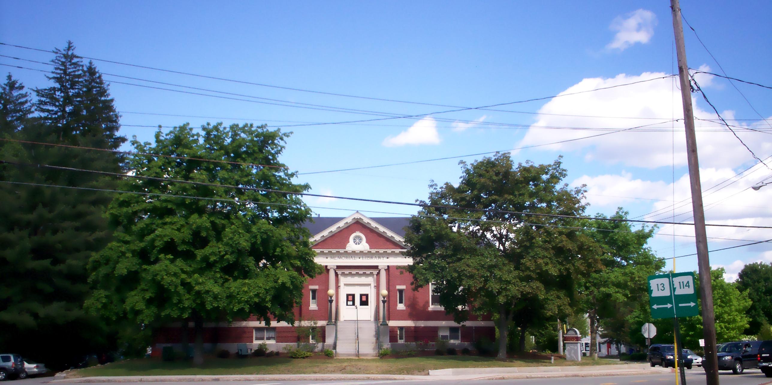
- New Hampshire Route 114
-
New Hampshire Route 114
Route information Maintained by NHDOT Length: 60.39 mi[1] (97.19 km) Major junctions South end:  NH 101 in Bedford
North end:  NH 10 in Grantham
Highway system ←  NH 113B
NH 114A  →
→New Hampshire Route 114 (abbreviated NH 114) is a 60.39-mile (97.19 km) long secondary north–south highway in central New Hampshire. The highway runs between Bedford, in Hillsborough County and Grantham, in Sullivan County.
The southern terminus of NH 114 is at New Hampshire Route 101 in Bedford. The northern terminus is at New Hampshire Route 10 in Grantham. The highway maintains a northwest-southeast alignment from Bedford northward.
Suffixed routes
New Hampshire Route 114A
Location: Goffstown-Manchester Length: 3.69 mi[1] (5.94 km) New Hampshire Route 114A (abbreviated NH 114A) is a 3.69-mile (5.94 km) long east–west highway in Hillsborough County in southeast New Hampshire. The highway connects Goffstown with downtown Manchester.
The eastern terminus of NH 114A is at U.S. Route 3 and New Hampshire Route 3A in Manchester on the west side of the Merrimack River. The western terminus is at the junction with New Hampshire Route 114 in Goffstown. The route maintains a northwest-southeast routing for its entire length.
References
Categories:- State highways in New Hampshire
- Transportation in Hillsborough County, New Hampshire
- Transportation in Sullivan County, New Hampshire
- New Hampshire road stubs

Wikimedia Foundation. 2010.