- List of sovereign states and dependent territories in Oceania
-
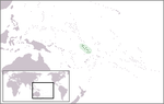
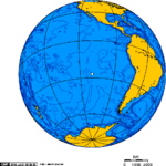
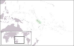
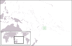
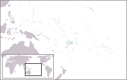
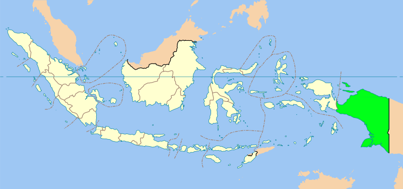
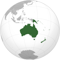 Geopolitical Oceania in green. Smaller islands are not visible
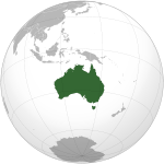
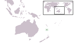
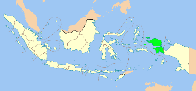
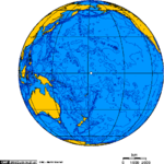
This is a list of sovereign states and dependent territories in Oceania. Although it is mostly ocean and spans many continental plates, Oceania is often defined as a continent. This list follows the boundaries of geopolitical Oceania, which includes Melanesia, Micronesia, Polynesia, and Australasia. The main continental landmass of Oceania is Australia,[1] with the second largest being Zealandia.
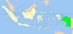
The division between Asia and Oceania is not clearly defined. The Malay Archipelago is sometimes included in a wider geographical definition of Oceania. By two other common divisions, due to the cultural Melanesian line and the ecological Wallace Line, the eastern half of Indonesia and East Timor are sometimes considered to be part of Oceania while the rest of the archipelago is in Asia. For political reasons, the United Nations considers the border is between the two regions to be the Indonesian–Papua New Guineaian border.[2] Papua New Guinea is occasionally considered Asian due to its virtue of neighbouring Indonesia, but this is rare, and it is generally accepted to be part of Oceania. If the entire Malay archipelago is included as part of Oceania, then Malaysia, Singapore, Brunei, Indonesia, the Philippines, and East Timor are also included.
Contents
Sovereign states
The following is a list of sovereign states which are usually considered to be Oceanian, and whom all have their capital city in Oceania. Of these, only Australia and New Zealand have territory outside of Oceania. All of these states are members of the Pacific Islands Forum except Fiji, which is suspended.
Flag Map English short and formal names
[3][4][5]Domestic short and formal names[3][4] Capital
[6][7][5]Population
[8]Area
[9]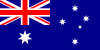
Australia[note 1]
Commonwealth of AustraliaEnglish: Australia — Commonwealth of Australia Canberra
English: Canberra21,766,711 7,741,220 km2 (2,988,902 sq mi) 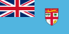
Fiji
Republic of the Fiji IslandsEnglish: Fiji —Republic of the Fiji Islands
Fijian: Viti — Matanitu ko VitiSuva
English: Suva
Fijian: Suva883,125 18,274 km2 (7,056 sq mi) 
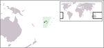
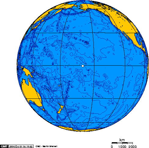
Kiribati
Republic of KiribatiEnglish: Kiribati — Republic of Kiribati
Gilbertese: Kiribati — Ribaberiki KiribatiTarawa
English: Tarawa
Bairiki
English: Bairiki100,743 811 km2 (313 sq mi) 
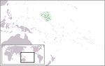
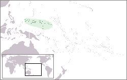
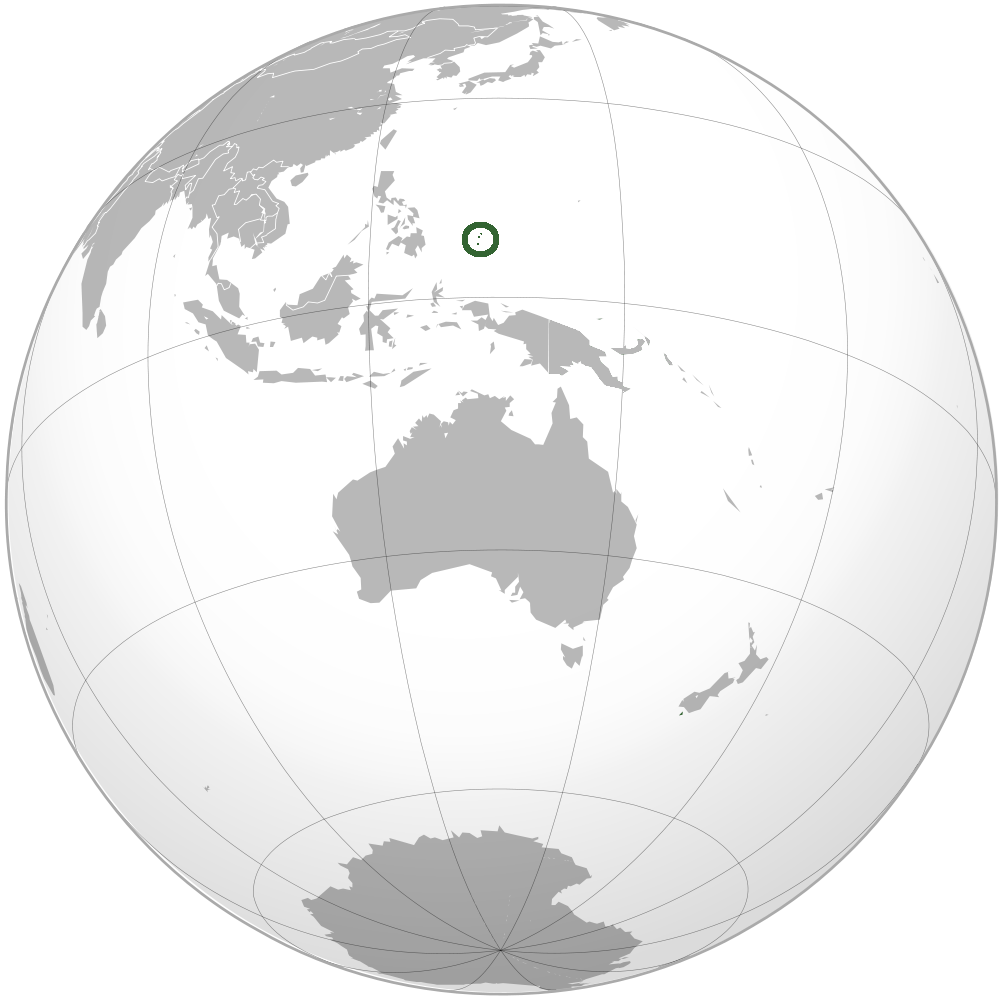
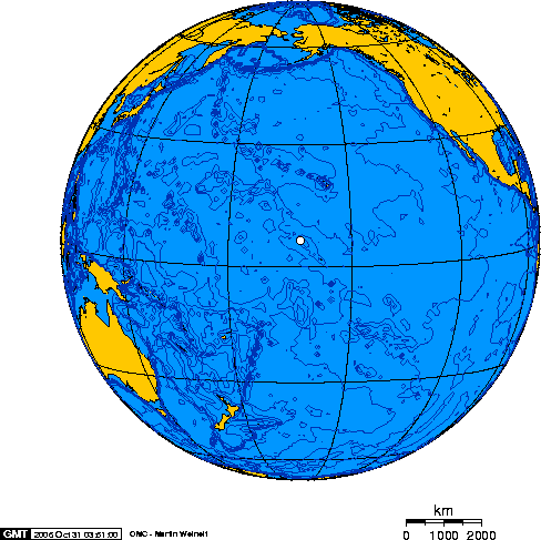
Marshall Islands
Republic of the Marshall IslandsEnglish: Marshall Islands — Republic of the Marshall Islands
Marshallese: Aelōn in ̄ Maje ̧ļMajuro
English: Majuro67,182 181 km2 (70 sq mi) 
Federated States of Micronesia / Micronesia English: Federated States of Micronesia Palikir
English: Palikir106,836 702 km2 (271 sq mi) 
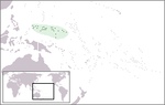
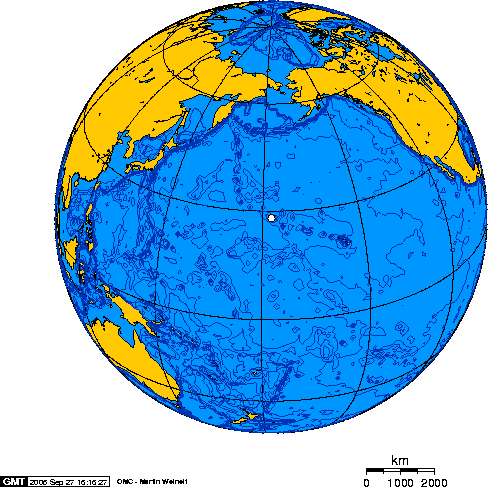
Nauru
Republic of NauruEnglish: Nauru — Republic of Nauru
Nauruan: NaoeroNo official Capital
Government offices are in Yaren9,322 21 km2 (8 sq mi) 
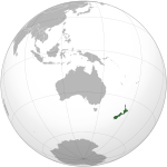
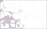
New Zealand[note 2] English: New Zealand
Māori: AotearoaWellington
English: Wellington4,290,347 267,710 km2 (103,363 sq mi) 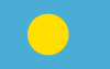

Palau
Republic of PalauEnglish: Palau — Republic of Palau
Palauan: Belau — Beluu er a BelauMelekeok
English: Melekeok
Palauan: Melekeok20,956 459 km2 (177 sq mi) 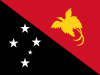
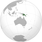
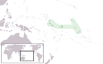
Papua New Guinea
Independent State of Papua New GuineaEnglish: Papua New Guinea — Independent State of Papua New Guinea
Tok Pisin: Papua Niugini — Independen Stet bilong Papua NiuginiPort Moresby
English: Port Moresby6,187,591 462,840 km2 (178,704 sq mi) 
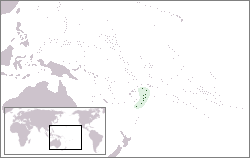
Samoa
Independent State of SamoaEnglish: Samoa — Independent State of Samoa
Samoan: Samoa — Malo Sa‘oloto Tuto'atasi o SamoaApia
English: Apia
Samoan: Apia193,161 2,831 km2 (1,093 sq mi) 
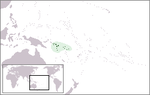
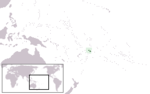
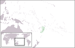
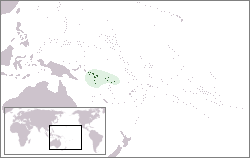
Solomon Islands English: Solomon Islands Honiara
English: Honiara571,890 28,896 km2 (11,157 sq mi) 
Tonga
Kingdom of TongaEnglish: Tonga — Kingdom of Tonga
Tongan: Tonga — Pule'anga TongaNukuʻalofa
English: Nuku'alofa
Tongan: Nuku'alofa105,916 747 km2 (288 sq mi) 
Tuvalu English: Tuvalu
Tuvaluan: TuvaluFunafuti
English: Funafuti10,544 26 km2 (10 sq mi) 

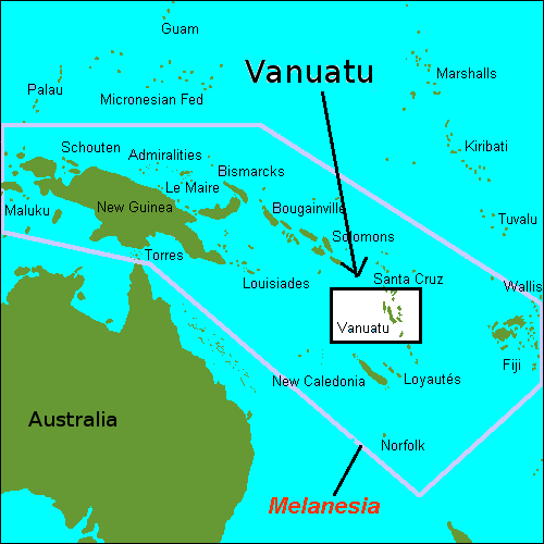
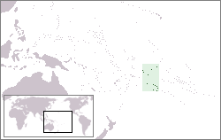
Vanuatu
Republic of VanuatuBislama: Vanuatu — Ripablik blong Vanuatu
English: Vanuatu — Republic of Vanuatu
French: Vanuatu — République de VanuatuPort Vila
Bislama: Port Vila
English: Port Vila
French: Port-Vila224,564 12,189 km2 (4,706 sq mi) Non-sovereign territories
The following are external territories considered to be within Oceania but are not considered sovereign states. It includes various political and administrative divisions, as well as dependencies.
Dependent territories and other territories
Flag Map English short and formal names[3] Status Domestic short and formal names Capital Population Area[9] 
American Samoa
Territory of American Samoa[5]Insular area of the United States English: American Samoa — Territory of American Samoa
Samoan: Amerika SāmoaPago Pago[6][5] 67,242[8] 199 km2 (77 sq mi) 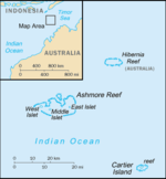
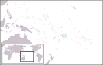
Ashmore and Cartier Islands
Territory of Ashmore and Cartier IslandsTerritory of Australia English: Ashmore and Cartier Islands Uninhabited Uninhabited 5 km2 (2 sq mi) 
Baker Island United States Minor Outlying Island English: Baker Island Uninhabited Uninhabited 129.1 km2 (49.8 sq mi) 
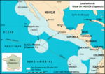
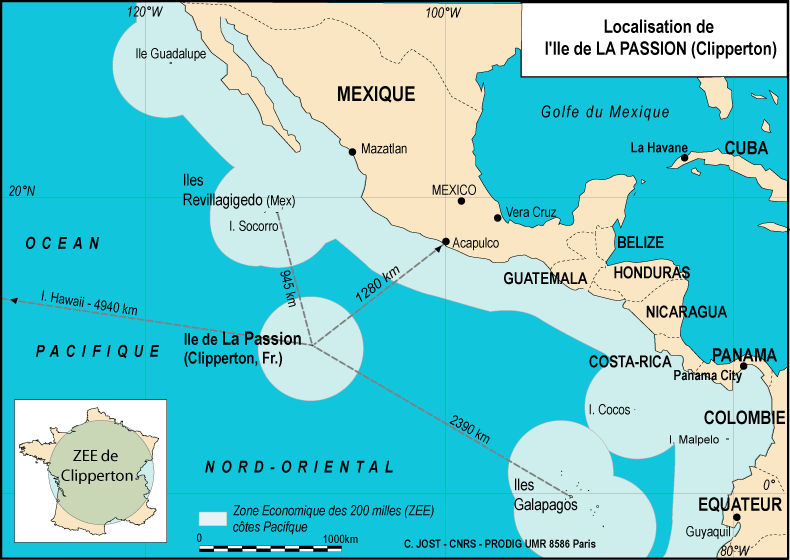
Clipperton Island[note 3] French state private property French: Île Clipperton[3] Uninhabited Uninhabited 6 km2 (2 sq mi) 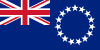
Cook Islands[5] Self-governing state in free association with New Zealand English: Cook Islands
Cook Islands Māori: Kūki 'ĀiraniAvarua[6][5] 11,124[8] 236 km2 (91 sq mi) 
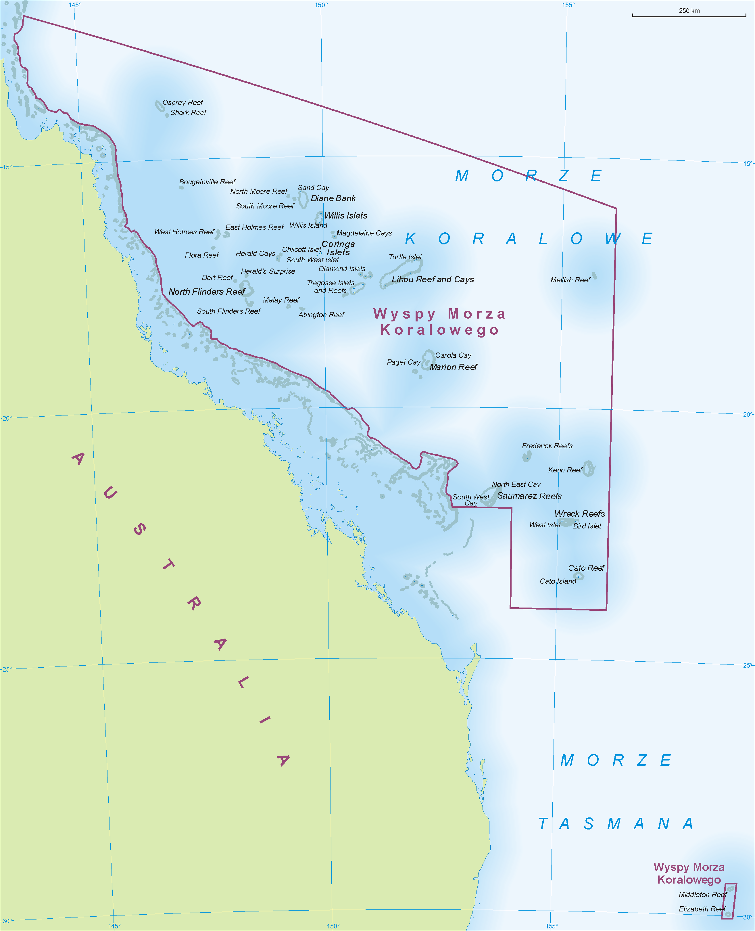
Coral Sea Islands
Coral Sea Islands TerritoryTerritory of Australia English: Coral Sea Islands — Coral Sea Islands Territory Uninhabited Uninhabited < 3 km2 (1 sq mi) 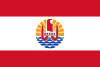
French Polynesia
Overseas Lands of French Polynesia[5]Overseas country of France French: Polynésie française — Pays d'outre-mer de la Polynesie Francaise [3] Papeete[6][5] 294,935[8] 4,167 km2 (1,609 sq mi) 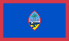
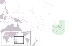
Guam
Territory of GuamInsular area of the United States English: Guam — Territory of Guam
Chamorro: Guahan[3]Hagåtña / Agaña[6][5] 183,286[10] 544 km2 (210 sq mi) 
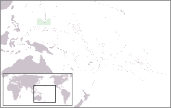
Howland Island United States Minor Outlying Island English: Howland Island Uninhabited Uninhabited 138.6 km2 (53.5 sq mi) 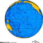
Jarvis Island United States Minor Outlying Island English: Jarvis Island Uninhabited Uninhabited 152 km2 (59 sq mi) 
Johnston Atoll United States Minor Outlying Island English: Johnston Atoll Uninhabited Uninhabited 276.6 km2 (106.8 sq mi) 
Kingman Reef United States Minor Outlying Island English: Kingman Reef Uninhabited Uninhabited 1,958.01 km2 (755.99 sq mi) 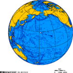
Midway Islands United States Minor Outlying Island English: Midway Islands Uninhabited Uninhabited 2,355.2 km2 (909.3 sq mi) 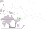
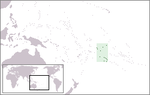
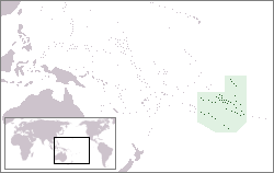
New Caledonia
Territory of New Caledonia and DependenciesSui generis collectivity of France[5] French: Nouvelle-Calédonie — Territoire des Nouvelle-Caledonie et Dependances[3] Nouméa[6][5] 256,275[8] 18,575 km2 (7,172 sq mi) 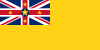

Niue[5] Self-governing state in free association with New Zealand Niuean: Niuē
English: NiueAlofi[6][5] 1,311[8] 260 km2 (100 sq mi) 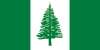
Norfolk Island
Territory of Norfolk Island[5]Self-governing integral Territory of Australia English: Norfolk Island — Territory of Norfolk Island
Norfuk: Norfuk AilenKingston[6][5] 2,169[8] 36 km2 (14 sq mi) 
Northern Mariana Islands
Commonwealth of the Northern Mariana Islands[5]Insular area of the United States English: Northern Mariana Islands — Commonwealth of the Northern Mariana Islands
Chamorro: Islas Mariånas — Sankattan Siha Na Islas MariånasSaipan[6][5] 46,050[8] 464 km2 (179 sq mi) 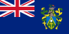
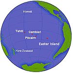
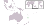
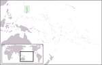
Pitcairn Islands
Pitcairn, Henderson, Ducie, and Oeno IslandsBritish overseas territory English: Pitcairn Islands — Pitcairn, Henderson, Ducie and Oeno Islands Adamstown[6][5] 48[8] 47 km2 (18 sq mi) 
Tokelau[5] Dependent territory of New Zealand Tokelauan: Tokelau
English: TokelauEach Atoll has its own administrative centre[6][5] 1,384[8] 12 km2 (5 sq mi) 
Wake Island United States Minor Outlying Island English: Wake Island Uninhabited Uninhabited 6.5 km2 (2.5 sq mi) 
Wallis and Futuna
Territory of the Wallis and Futuna IslandsOverseas collectivity of France French: Wallis et Futuna — Territoire des Iles Wallis et Futuna[3] Mata-Utu[6][5] 15,398[8] 142 km2 (55 sq mi) Other territories
The following are incorporated parts of a non-Oceanian state.
Flag Map English short and formal names Status Domestic short and formal names Capital 
Easter Island Special territory of Chile Spanish: Isla de Pascua
Rapa Nui: Rapa NuiHanga Roa 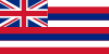

Hawaii
State of HawaiiState of the USA English: Hawaii — State of Hawaii
Hawaiian: Hawaiʻi — Mokuʻāina o HawaiʻiHonolulu 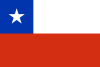
Juan Fernández Islands Special territory of Chile Spanish: Archipiélago Juan Fernández San Juan Bautista 
Marcus Island Part of Ogasawara village in Tokyo, Japan Japanese: 南鳥島 ( Minamitorishima)
Uninhabited 
Okinotori Islands Part of Ogasawara village in Tokyo, Japan Japanese: 沖ノ鳥島 Okinotorishima
Uninhabited 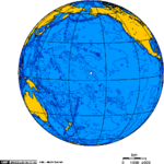
Palmyra Atoll[3] United States Minor Outlying Island English: Palmyra Atoll Uninhabited 
Papua Province of Indonesia Indonesian: Papua Jayapura 
West Papua Province of Indonesia Indonesian: Papua Barat Manokwari Notes
- ^ Australia contains 4 external territories not associated with Oceania, the Cocos (Keeling) Islands and Christmas Island in Asia, and the Heard and McDonald Islands and the claimed Australian Antarctic Territory in the Antarctic.
- ^ New Zealand also claims territory in the Antarctic as the Ross Dependency.
- ^ Clipperton Island is often associated with North America.
See also
References
- ^ http://www.dfat.gov.au/aib/island_continent.html
- ^ http://www.endpoverty2015.org/en/asia/news/marcos-diaz-crosses-oceania-asia-border-raise-awareness-mdgs/13/may/10
- ^ a b c d e f g h i "Field Listing :: Names". CIA. https://www.cia.gov/library/publications/the-world-factbook/fields/2142.html. Retrieved 15 August 2011.
- ^ a b "UNGEGN List of Country Names". United Nations Group of Experts on Geographical Names. 2007. http://unstats.un.org/unsd/geoinfo/UNGEGN/docs/9th-uncsgn-docs/UNGEGN%20WG%20Country%20Names%20Document%20-%20August%202009.pdf. Retrieved 15 August 2011.
- ^ a b c d e f g h i j k l m n o p q r s t u "List of countries, territories and currencies". Europa. 9 August 2011. http://publications.europa.eu/code/en/en-5000500.htm. Retrieved 23 August 2011.
- ^ a b c d e f g h i j k l "Field Listing :: Capital". CIA. https://www.cia.gov/library/publications/the-world-factbook/fields/2057.html. Retrieved 23 August 2011.
- ^ "UNGEGN World Geographical Names". United Nations Group of Experts on Geographical Names. 29 July 2011. http://unstats.un.org/unsd/geoinfo/geonames/. Retrieved 23 August 2011.
- ^ a b c d e f g h i j k "Country Comparison :: Population". CIA. https://www.cia.gov/library/publications/the-world-factbook/rankorder/2119rank.html. Retrieved 23 August 2011.
- ^ a b "Field Listing :: Area". CIA. https://www.cia.gov/library/publications/the-world-factbook/fields/2147.html. Retrieved 23 August 2011.
- ^ "Guam". CIA. https://www.cia.gov/library/publications/the-world-factbook/geos/gq.html. Retrieved 23 August 2011.
Countries and territories of Oceania Sovereign states Australia · Chile (Easter Island · Juan Fernández Islands) · East Timor (Timor-Leste) · Fiji · Indonesia · Kiribati · Marshall Islands · Federated States of Micronesia · Japan (Bonin Islands) · Nauru · New Zealand · Palau · Papua New Guinea · Samoa · Solomon Islands · Tonga · Tuvalu · United States (Hawaii · Palmyra Atoll) · Vanuatu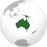
Dependencies and other territories AustraliaFranceNew ZealandUnited KingdomUnited StatesLists of sovereign states and dependent territories by continent Continents - Africa
- Antarctica
- Asia
- Europe
- North America
- Oceania
- South America
Supercontinents - Americas
- Eurasia
Categories:- Lists of countries by continent
- Oceanian countries
- Oceania-related lists


Wikimedia Foundation. 2010.