- Vale of Glamorgan
-
For other uses, see Vale of Glamorgan (disambiguation).
Vale of Glamorgan County Borough
Bwrdeistref Sirol Bro Morgannwg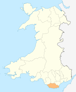
Geography Area
- Total
- % WaterRanked 15th
129 sq mi (335 km²)
NegligibleAdmin HQ Barry ISO 3166-2 GB-VGL ONS code 00PD Demographics Population:
- Total (2010 est.)
- Density
Ranked 12th
125,000
Ranked 10th
960/sq mi (373/km²)Ethnicity 97.0% White
1.4% S. Asian
1.1% BlackWelsh language
- Any skillsRanked 17th
16.9%Politics 
Vale of Glamorgan Council
http://www.valeofglamorgan.gov.uk/Control MPs The Vale of Glamorgan (Welsh: Bro Morgannwg) is a county borough in Wales; an exceptionally rich agricultural area, it lies in the southern part of Glamorgan, South Wales. It has a rugged coastline, but its rolling countryside is quite atypical of Wales as a whole.
The Vale also has many tourist attractions which attract many visitors every year, including Barry Island Pleasure Park, Vale of Glamorgan Railway, St Donat's Castle, Cosmeston Lakes Country Park and Cosmeston Medieval Village and many more. It is also the location of Atlantic College, one of the United World Colleges.
Contents
Geography
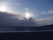
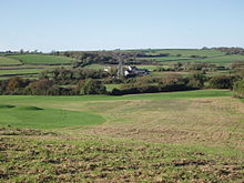 Looking across the Vale of Glamorgan on Brynhill Golf Course, Highlight Barry, Vale of Glamorgan
It has been a county borough (unitary authority) since 1996, previously being part of South Glamorgan county. The largest centre of population is Barry. Other towns include Cowbridge, Dinas Powys, Llantwit Major and Penarth which is the Vale's first Fairtrade town, but a large proportion of the population inhabits villages, hamlets and individual farms. The area is low-lying, with a greatest height of only 137 metres above sea level.
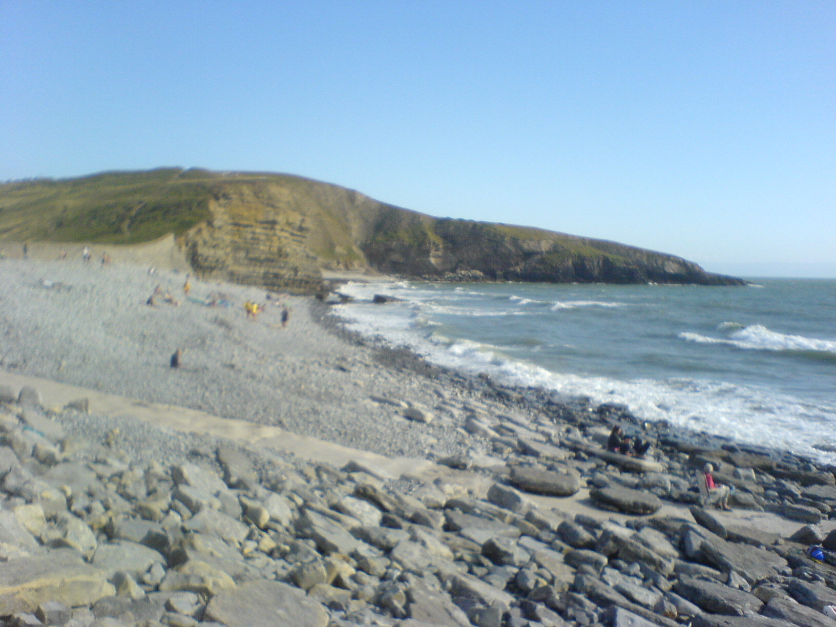
The yellow-grey cliffs on the Glamorgan Heritage Coast (which stretches between Llantwit Major to Ogmore-by-Sea) are unique on the Celtic Sea coastline (i.e. Cornwall, Wales, Ireland and Brittany) as they are formed of a combination of liassic limestone, shale and carboniferous sandstone/limestone. They were allegedly formed 200 million years ago when Wales (as well as Cornwall, Brittany and Ireland) lay underneath a warm, shallow, equatorial sea during the beginning of the Jurassic age. Today the cliffs contain elements of Jurassic age sea-creatures (although not land dinosaurs – what is now the Celtic Sea coastline was underneath the sea), such as ammonites. The stratification of overlapping shale, sandstone and limestone was caused by a geological upheaval known as the Variscan orogeny, which literally pushed the cliffs out of the sea, contorting them as they did so. (This stratification can also be found on other parts of the Celtic seaboard, such as Bude in Cornwall, across the Bristol Channel). As the cliffs and land contain elements of calcium carbonate found in the limestone, it allows farmers in the vale to grow crops which would be difficult elsewhere in Wales or the West country, such as Devon and Cornwall (whose soil is predominantly acidic as most of the west country is made of poor quality Devonian soils). The liassic limestone and carboniferous sandstone is also used in the vale for building materials; in previous centuries it was taken by sloops across the Bristol Channel to north Cornish ports such as Bude, Boscastle and Port Isaac to fertilise Cornwall's poor slate soils for the farming communities; while the hard Devonian slate of Cornwall was brought back as a roofing material for houses in the Vale.
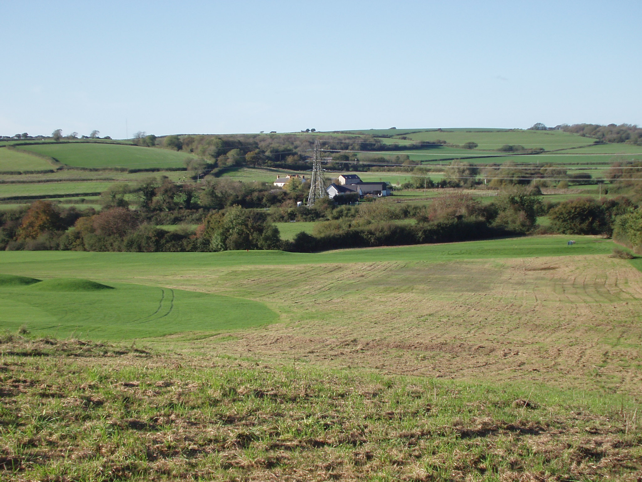
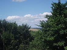 The rich countryside of the Vale of Glamorgan
As the Glamorgan Heritage Coast faces westwards out to the Atlantic, it bears the brunt of brutal on-shore (west, south-westerly) winds; ideal for surfing, but a nightmare for ships trying to sail up the Bristol Channel into Cardiff. Just like North Cornwall or South-West Ireland, the fierce Atlantic gales created ideal conditions for pre-meditated shipwrecking, which up until 100 years was very common along the coast (although shipwrecking was common across all the Celtic Sea). Nash Point, Southerndown and Ogmore-by-Sea have some of the highest shipwreck victims on the coast of Wales; as recently as 1962 an oil tanker, the BP Driver crashed into Nash Point during a violent westerly storm, was torn to shreds by the brutal reefs and eventually sank, although thanks to a courageous effort by various Bristol Channel lifeboats and helicopters the crew were saved.
The district borders Cardiff to the north east, Rhondda Cynon Taf to the north, Bridgend to the north west and the Bristol Channel to the south.
Government
The region is governed by the Vale of Glamorgan Council which is currently controlled by the Conservative Party. The Vale of Glamorgan parliamentary and assembly constituencies (which do not include Penarth and Sully which are in the constituency of Cardiff South and Penarth) sway between Labour control and Conservative Party control in both the National Assembly for Wales and in Westminster. This is supposedly because of the Labour supporters in the east of the constituency and in the town of Barry and then the Tory supporters in the west due to a large farming population.
International links
The Vale of Glamorgan is twinned with:
and has friendship agreements with:
Once every year, there is a twinning event in one of the Vale of Glamorgan's towns where representatives are invited from each of the twin cities. The event focuses on culture and economic regeneration.
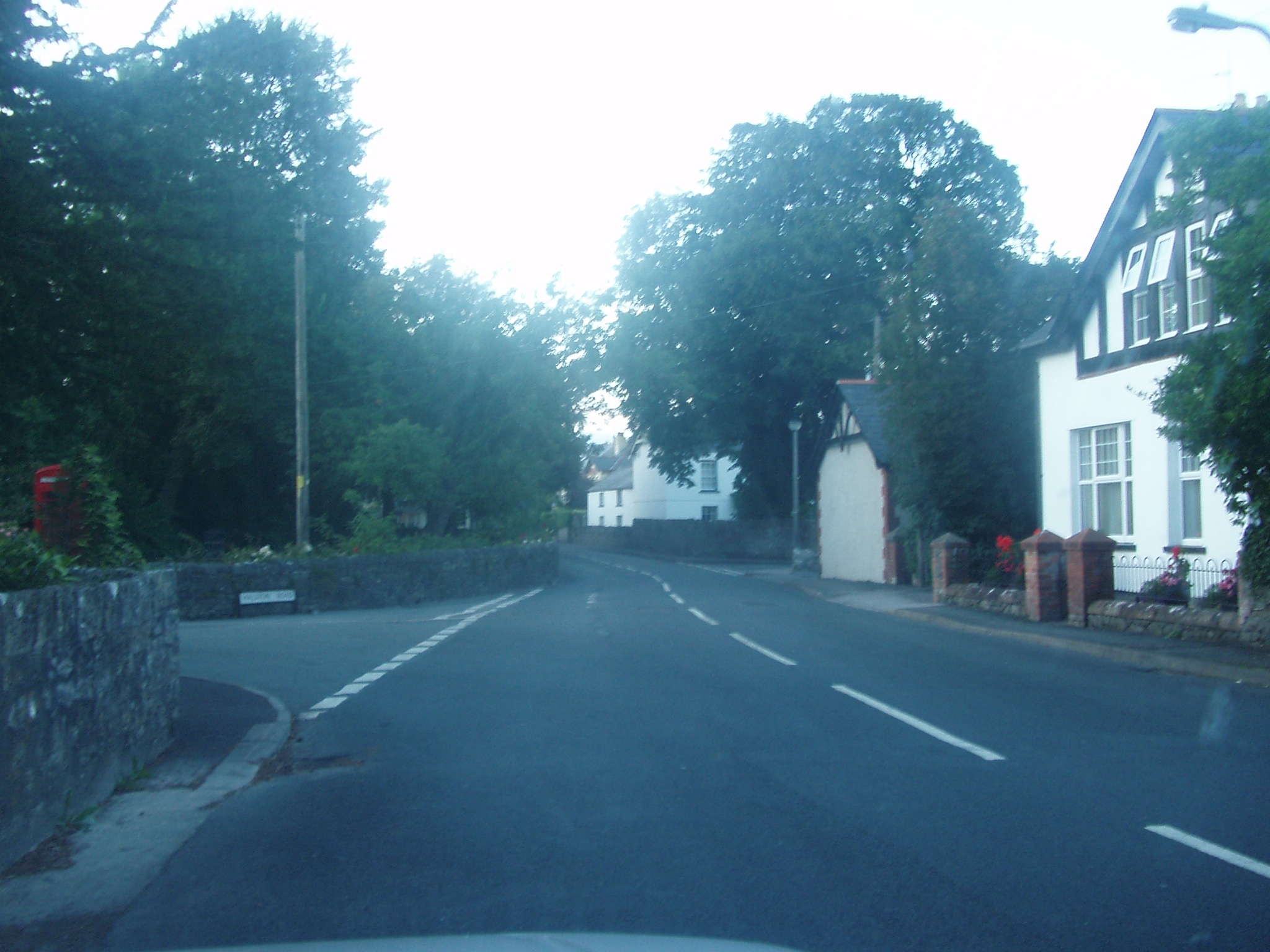
Villages
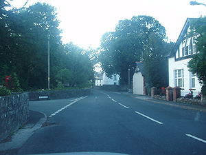 A typical village scene of the Vale in Wenvoe
 Southerndown beach
- Aberthaw
- Aberthin
- Bonvilston
- Boverton
- Cogan
- Colwinston
- Corntown
- Cosmeston Medieval Village
- Dinas Powys
- Ewenny
- Fontegary
- Lavernock
- Llanbethery
- Llancadle
- Llancarfan
- Llandough
- Llandow
- Llanmaes
- Llansannor
- Llantwit Major
- Moulton
- Michaelston-le-Pit
- Ogmore, Vale of Glamorgan
- Ogmore-by-Sea
- Pendoylan
- Penmark
- Peterston-super-Ely
- Rhoose
- Southerndown
- St Athan
- St Brides Major
- St Hilary
- St Donat's
- St. Andrews Major
- Sully
- Wenvoe
- Wick, Vale of Glamorgan
- Ystradowen
Landmarks
- see Listed buildings in the Vale of Glamorgan
Transport
Road
 Aberthaw railway station. Overview as 66101 waits to enter Power Station
The county borough is served by the M4 Motorway junctions 33 (Cardiff West) and 34 (Llantrisant). However the A48 trunk road cuts right through the county, linking it to Cardiff and Bridgend.
Rail
The county borough is served by the Vale of Glamorgan Line with services to Bridgend and Cardiff, with stations in Barry, Penarth and Llantwit Major, although the stations serving Pontyclun and Bridgend may be closer to some residents.
Bus
Barry, Wenvoe, Llantwit Major and Penarth are served by Cardiff Bus, who operate services within the towns and to Cardiff. First Cymru operates the X2 route along the A48 to Cardiff via Cowbridge, Bonvilston and St. Nicholas, however the county borough is well served by rural operators as well.
Air
Cardiff International Airport, the only international airport in Wales, is located in Rhoose in the south of the county borough.
See also
- List of places in Vale of Glamorgan for all villages and towns.
External links
Clwyd Dyfed Gwent Gwynedd Mid Glamorgan Powys South Glamorgan Cardiff • Vale of GlamorganWest Glamorgan Lliw Valley • Neath • Port Talbot • Swansea
Principal areas of Wales Anglesey • Blaenau Gwent • Bridgend • Caerphilly • Cardiff • Carmarthenshire • Ceredigion • Conwy • Denbighshire • Flintshire • Gwynedd • Merthyr Tydfil • Monmouthshire • Neath Port Talbot • Newport • Pembrokeshire • Powys • Rhondda Cynon Taf • Swansea • Torfaen • Vale of Glamorgan • Wrexham
Categories:- Counties of Wales
- Principal areas of Wales
- Vale of Glamorgan


Wikimedia Foundation. 2010.