Michaelston-le-Pit

Michaelston-le-Pit
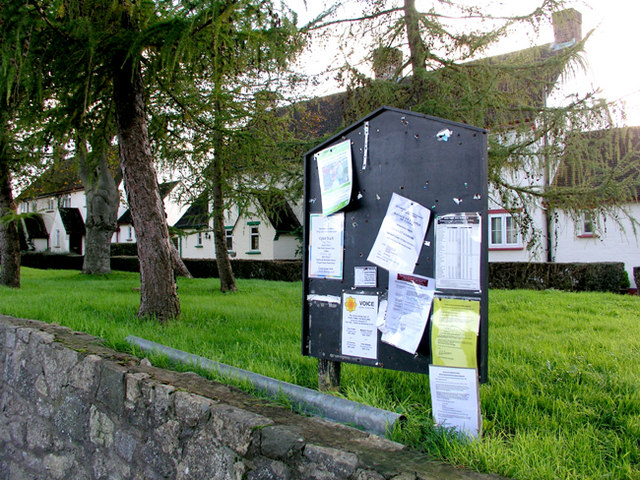
Michaelston-le-Pit Village Green

Michaelston-le-Pit (Welsh: Llanfihangel-y-pwll) is a village to the west of the city of Cardiff, Wales.

To the south lies Penarth, while to the south west lies the village of Dinas Powys.

The village is built near the coonfluence of two small streams, which join to form the Cadoxton River. The name is believed to be Norman. Llanfihangel-y-pwll means The Church of St Michael in the Pit, and indeed the local church is called St Michael's. It is not to be confused with Michaelston-super-Ely or Michaelstone-y-Fedw.

Notable people

Rev. Henry Holmes Stewart (1847–1937), who won the FA Cup with Wanderers in 1873, was rector at the parish church from 1925 to 1935.[1]

The village is the home to former Welsh Assembly leader Rhodri Morgan.[citation needed]

References

  1. ^ Stewart, Henry in Venn, J. & J. A., Alumni Cantabrigienses, Cambridge University Press, 10 vols, 1922–1958.

External links

Coordinates: 51°27′00″N 3°13′23″W / 51.450°N 3.223°W / 51.450; -3.223


Wikimedia Foundation. 2010.

Игры ⚽ Нужно решить контрольную?

Look at other dictionaries:

  • Dinas Powys — Coordinates: 51°26′N 3°13′W / 51.43°N 3.22°W / 51.43; 3.22 …   Wikipedia

  • Vale of Glamorgan — For other uses, see Vale of Glamorgan (disambiguation). Vale of Glamorgan County Borough Bwrdeistref Sirol Bro Morgannwg Geography Area …   Wikipedia

  • Drope — For other uses, see Drope (disambiguation). Coordinates: 51°28′29″N 3°17′11″W / 51.474722°N 3.286389°W / 51.474722; 3.286389 …   Wikipedia

  • Cowbridge — Coordinates: 51°27′38″N 3°26′53″W / 51.4605°N 3.4480°W / 51.4605; 3.4480 …   Wikipedia

  • Rhodri Morgan — Infobox First Minister honorific prefix = The Right Honourable name=Hywel Rhodri Morgan honorific suffix = AM order=2nd First Minister for Wales term start =16 October, 2000 (First Secretary since February 9, 2000) term end = deputy=Mike German… …   Wikipedia

  • Ogmore, Vale of Glamorgan — For other places, see Ogmore (disambiguation). Ogmore (Welsh: Ogwr) is a village in the Vale of Glamorgan, Wales on the River Ogmore. It grew around the now ruined Ogmore Castle, built by the Normans. The village does not lie in the parliamentary …   Wikipedia

  • Cosmeston Medieval Village — is a living history medieval village near Lavernock in the Vale of Glamorgan not far from Penarth and Cardiff in south Wales. Based upon remains discovered during a 1980s archaeological dig in the grounds of Cosmeston Lakes Cou …   Wikipedia

  • Colwinston — Coordinates: 51°28′07″N 3°31′34″W / 51.46853°N 3.52599°W / 51.46853; 3.52599 …   Wikipedia

  • Ogmore-by-Sea — For other places, see Ogmore (disambiguation). Coordinates: 51°27′52″N 3°38′07″W / 51.46435°N 3.63526°W / 51.46435; 3.63526 …   Wikipedia

  • Corntown — Coordinates: 51°29′06″N 3°33′41″W / 51.4849°N 3.5615°W / 51.4849; 3.5615 …   Wikipedia

Share the article and excerpts

Direct link
Do a right-click on the link above
and select “Copy Link”