- Cwm Talwg
-
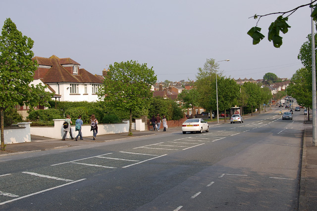
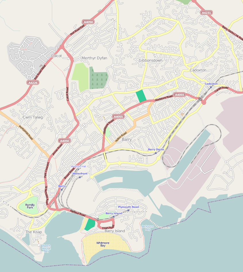
Cwm Talwg — District of Barry — Pontypridd Road. The estate is off to the left.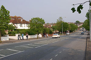 Location in Barry
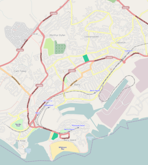
 Cwm TalwgLocation in the Vale of Glamorgan
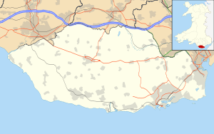 Cwm Talwg
Coordinates: 51°24′28″N 3°17′17″W / 51.40778°N 3.28806°W Country United Kingdom Region Wales County Vale of Glamorgan Town Barry Time zone GMT (UTC+0) Cwm Talwg is a north-western district and large housing estate complex within the town of Barry in the Vale of Glamorgan ten miles outside Cardiff in south Wales.
It is on the outskirts of the main town and links to Pontypridd Road and the A4050 road out of Barry. Prior to the housing development of Cwm Talwg, it was a pig farm; cows, pigs and sheep roamed freely. Cwm Talwg still hosts two small forests which are maintained by a the woodland volunteers and have paths leading from Usk Way to Severn Avenue or Elan Close to Highlight Park. Community walks are often organised through the Cwm Talwg woods.
Coordinates: 51°24′28″N 3°17′17″W / 51.40778°N 3.28806°W
Categories:- Barry, Vale of Glamorgan
- Glamorgan geography stubs


Wikimedia Foundation. 2010.