- Oregon Dunes National Recreation Area
-
Oregon Dunes National Recreation Area IUCN Category V (Protected Landscape/Seascape)

Location Oregon, USA Nearest city North Bend, Oregon Coordinates 43°43′27″N 124°10′39″W / 43.72417°N 124.1775°WCoordinates: 43°43′27″N 124°10′39″W / 43.72417°N 124.1775°W Area 27,212 acres (110.12 km2) Established March 23, 1972 Visitors roughly 1,500,000 (in 2005) Governing body United States Forest Service The Oregon Dunes National Recreation Area (or NRA) is located on the Oregon Coast, stretching approximately 40 miles north from the Coos River in North Bend, to the Siuslaw River, in Florence. The NRA is part of Siuslaw National Forest and is administered by the United States Forest Service. The dunes adjoin Honeyman State Park.
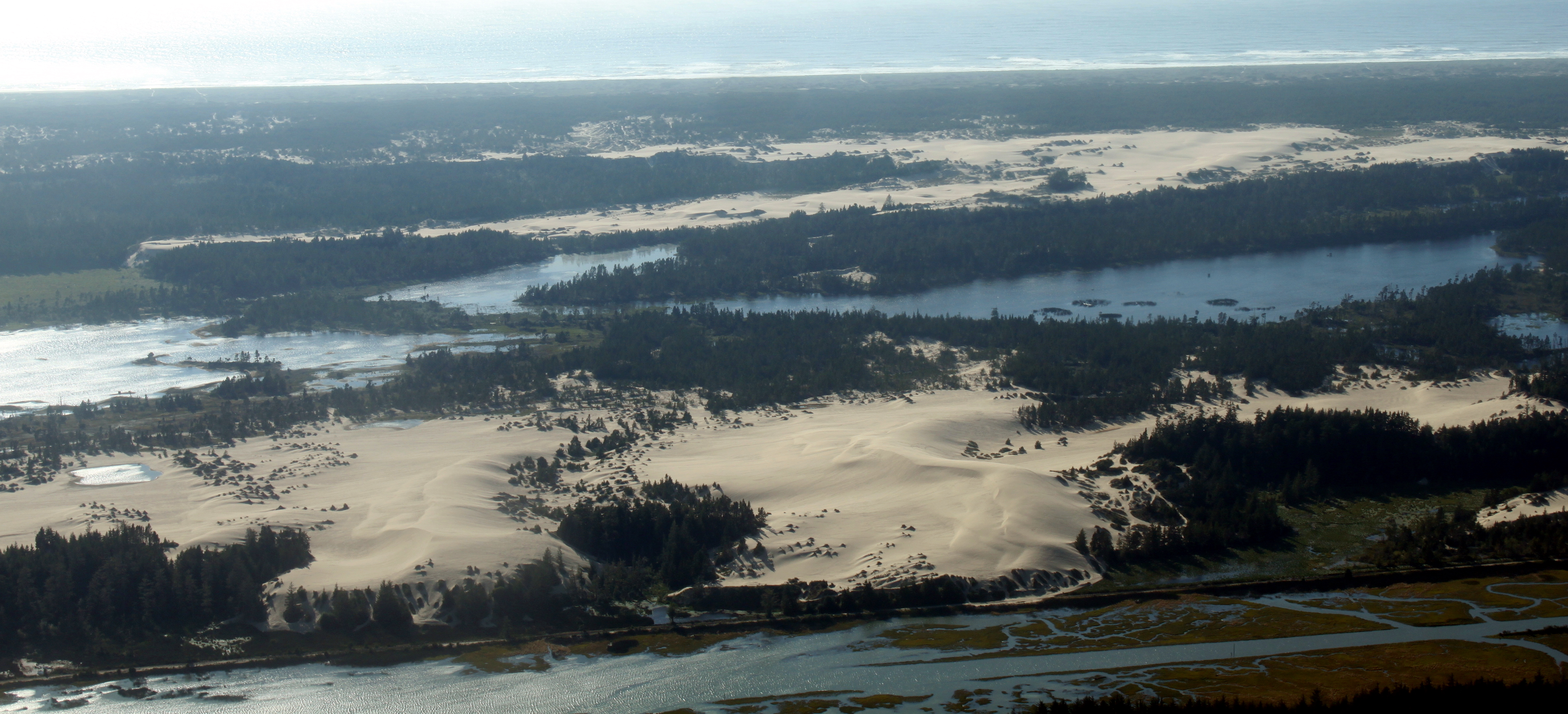
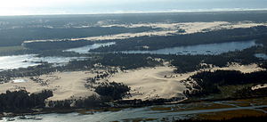 An aerial view of the dunes near Coos Bay.
The Oregon Dunes are a unique area of windswept sand that is the result of millions of years of wind, sun, and rain erosion on the Oregon Coast. These are the largest expanse of coastal sand dunes in North America. Some dunes tower up to 150 meters above sea level, providing numerous recreational opportunities including off-road vehicle use, hiking, photography, fishing, canoeing, horseback riding, and camping. The Carter Dunes Trail and Oregon Dunes Day Use provide disabled access for forest visitors.
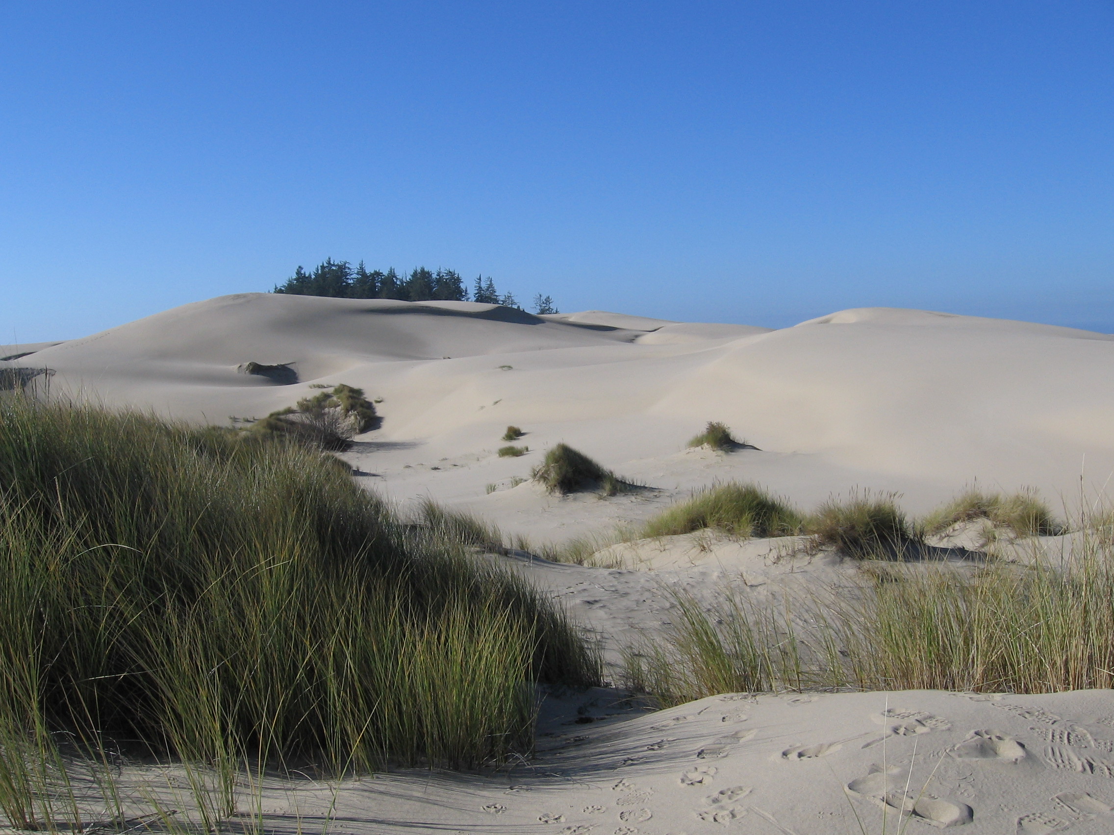
 Sand dunes at the Oregon Dunes National Recreation Area, just outside Reedsport
In 1963, Congressman Robert B. Duncan introduced a bill to establish a National Park at the Oregon Dunes. It passed the Senate Interior Committee unanimously. Senator Wayne Morse opposed provisions of the bill that would have interfered with property owners' rights.[1]
Author Frank Herbert was inspired (in part) to write the famous science fiction novel Dune based on his research about the dunes of this area.[2]
References
- ^ "Solons pass Dunes bill". The Oregonian. November 22, 1963.
- ^ The Road to Dune (2005), p. 264, letter by Frank Herbert to his agent Lurton Blassingame outlining "They Stopped the Moving Sands."
External links
- Official Forest Service Site
- Oregon Dunes Guide
- Coos Bay Dune Guide
- Florence Dune Guide
- Winchester Bay Dune Guide
- Coos Bay Trip Report
National Recreation Areas of the United States Administered by the
National Park ServiceAmistad • Big South Fork • Bighorn Canyon • Boston Harbor Islands • Chattahoochee River • Chickasaw • Curecanti • Delaware Water Gap • Gateway • Gauley River • Glen Canyon • Golden Gate • Lake Chelan • Lake Mead • Lake Meredith • Lake Roosevelt • Mississippi • Ross Lake • Santa Monica Mountains • Whiskeytown-Shasta-TrinityAdministered by
other agenciesAllegheny • Angel Peak • Arapaho • Datil Well • Flaming Gorge • Grand Island • Hells Canyon • Land Between The Lakes • Moosalamoo • Mount Baker • Mount Rogers • Oregon Dunes • Orilla Verde • Pine Ridge • Rattlesnake • Sawtooth • Smith River • Spring Mountains • Spruce Knob-Seneca Rocks • Valley of Fires • White Mountains • White Rocks • Wild Rivers • Winding Stair MountainProtected Areas of Oregon Federal State Arcadia Beach • Bob Straub • Bradley • Cape Kiwanda • Cape Lookout • Cape Meares • Clay Myers at Whalen Island • Del Rey Beach • Ecola • Elmer Feldenheimer • Fishing Rock • Fort Stevens • Gearhart Ocean • Haystack Hill • Hug Point • John Yeon • Manhattan Beach • Munson Creek Falls • Neahkahnie–Manzanita • Nehalem Bay • Oceanside Beach • Oswald West • Rockaway Beach • Sunset Beach • Sunset Highway Forest • Symons • Tolovana Beach • Tolovana Beach • Twin Rocks • Wilson River Highway Forest
Agate Beach • Alsea Bay • Beachside • Beaver Creek • Beverly Beach • Boiler Bay • Carl G. Washburne • Collins Creek • D River • Darlingtonia • Devils Lake • Devils Punch Bowl • Driftwood Beach • Ellmaker • Fogarty Creek • Gleneden Beach • Governor Patterson • H.B. Van Duzer • Heceta Head Lighthouse • Jessie M. Honeyman • Joaquin Miller Forest • L. Presley & Vera C. Gill • Lost Creek • Muriel O. Ponsler • Neptune • Neskowin Beach • Ona Beach • Otter Crest • Pritchard • Roads End • Rocky Creek • San Marine • Seal Rock • Smelt Sands • South Beach • Stonefield Beach • Tokatee Klootchman • W. B. Nelson • Whale Watching • Yachats • Yachats Ocean Road • Yaquina Bay
Albert H. Powers • Alfred A. Loeb • Arizona Beach • Bandon • Bolon Island Tideways • Bullards Beach • Cape Arago • Cape Blanco • Cape Sebastian • Conde B. McCullough • Coquille Myrtle Grove • Crissey Field • Elk Creek Tunnel Forest • Face Rock • Floras Lake • Geisel Monument • Golden and Silver Falls • Harris Beach • Hoffman • Humbug Mountain • Hutchinson • Maria C. Jackson • McVay Rock • Ophir • Otter Point • Paradise Point • Pistol River • Port Orford Cedar Forest • Port Orford Heads • Samuel H. Boardman • Seven Devils • Shore Acres • Sisters Rock • Sunset Bay • Sweet Myrtle • Umpqua • Umpqua Lighthouse • Umpqua Myrtle • William M. Tugman • Winchuck • Yoakam Point
Banks–Vernonia • Bonnie Lure • Government Island • L. L. "Stub" Stewart • Mary S. Young • Milo McIver • Tryon Creek • Willamette Stone
Ainsworth • Benson • Bonneville • Bridal Veil Falls • Crown Point • Dabney • Dalton Point • George W. Joseph • Guy W. Talbot • Historic Columbia River Highway • John B. Yeon • Koberg Beach • Lang Forest • Lewis and Clark • Lindsey Creek • Mayer • McLoughlin • Memaloose • Multnomah Falls • Portland Women's Forum • Rocky Butte • Rooster Rock • Seneca Fouts • Shepperd's Dell • Sheridan • Starvation Creek • Viento • Vinzenz Lausmann • Wyeth • Wygant
Alderwood • Bald Peak • Blachly Mountain Forest • Bowers Rock • Cascadia • Champoeg • Detroit Lake • Dexter • Elijah Bristow • Erratic Rock • Fall Creek • Fort Yamhill • Holman • Jasper • Lowell • Luckiamute • Maples • Maud Williamson • Molalla River • North Santiam • Sarah Helmick • Silver Falls • State Capitol • Thompson's Mills • Washburne • Willamette Mission
Ben Hur Lampman • Canyon Creek Forest • Casey • Collier Memorial • Illinois River Forks • Jackson F. Kimball • Joseph H. Stewart • Klamath Falls – Lakeview Forest • OC&E Woods Line • Prospect • Rough and Ready Forest • Stage Coach Forest • TouVelle • Tub Springs • Valley of the Rogue • Wolf Creek Inn
Cline Falls • Deschutes River • Dyer • Elliott Corbett • La Pine • Ochoco • Peter Skene Ogden • Pilot Butte • Prineville Reservoir • Redmond–Bend Juniper • Sisters • Smith Rock • The Cove Palisades • Tumalo • White River Falls
Bates • Battle Mountain Forest • Blue Mountain Forest • Booth • Catherine Creek • Chandler • Clyde Holliday • Crooked Creek • Deadman's Pass • Emigrant Springs • Farewell Bend • Fort Rock • Fort Rock Cave • Frenchglen Hotel • Goose Lake • Hat Rock • Hilgard Junction • Kam Wah Chung • Lake Owyhee • Minam • Ontario • Pete French Round Barn • Red Bridge • Succor Creek • Sumpter Valley Dredge • Ukiah–Dale Forest • Unity Forest • Unity Lake • Wallowa Lake • Wallowa Lake Highway Forest • Wallowa River
Bridge Creek • Dean Creek • Denman • E.E. Wilson • Elkhorn • Fern Ridge • Irrigon • Jewell Meadows • Klamath • Ladd Marsh • Lower Deschutes • Phillip W. Schneider • Prineville • Riverside • Sauvie Island • Snake River Islands • Summer Lake • Wenaha • White River • Willow Creek
Regions Portland metroBlue Lake • Cooper Mountain • Glendoveer • Howell • Oregon Zoo • Oxbow • Smith and Bybee • Mount Talbert
Cities PortlandForest Park • Washington Park
Heritage registers: National Register of Historic Places • National Historic Landmarks • National Natural Landmarks • World Network of Biosphere Reserves Categories:- IUCN Category V
- National Recreation Areas of the United States
- Protected areas of Lane County, Oregon
- Protected areas of Douglas County, Oregon
- Protected areas of Coos County, Oregon
- Oregon Coast
- Dunes of the United States
- Protected areas of Oregon
- Sandboarding locations
- Oregon geography stubs
- Western United States protected area stubs

Wikimedia Foundation. 2010.