- Tramlink
-
Tramlink (originally and sometimes still called Croydon Tramlink) is a tramway system in south London in the United Kingdom which began operation in May 2000. The service is operated by London Tramlink,[1] part of Transport for London (TfL).
Tramlink serves seven National Rail stations but has only one interchange with the London Underground (at Wimbledon station for the District Line) and one with London Overground (at West Croydon for the East London Line); one of the factors leading to its creation was that the area around Croydon has no Underground service.
Tramlink runs on a mixture of street track shared with other traffic, dedicated track in public roads, and off-street track consisting of new rights-of-way, former railway lines, and one section of alignment, though not track, shared with a third rail electrified Network Rail line.
Contents
History
Main article: Trams in LondonConstruction
In 1990 Croydon Council with the then London Regional Transport (LRT) put the project to Parliament and the Croydon Tramlink Act 1994 resulted which gave LRT the legal power to build and run Tramlink.[2]
In 1996 Tramtrack Croydon Limited (TCL) won a 99 year Private Finance Initiative (PFI) contract to design, build, operate and maintain the Tramlink system. Under this contract Tramtrack Croydon Ltd kept the revenue generated by Tramlink and LRT had to pay compensation to TCL for any changes to the fares and ticketing policy introduced later.[3]
TCL subcontracted the operation of the tram system to CentreWest Buses, now part of First London. TCL was a partnership comprising First Group, Bombardier Transportation (the builders of the system's tramcars), Sir Robert McAlpine and Amey Construction Ltd (who built the system), and Royal Bank of Scotland and 3i (who arranged the finances).
Former lines re-used
 Gauntlet track near Mitcham
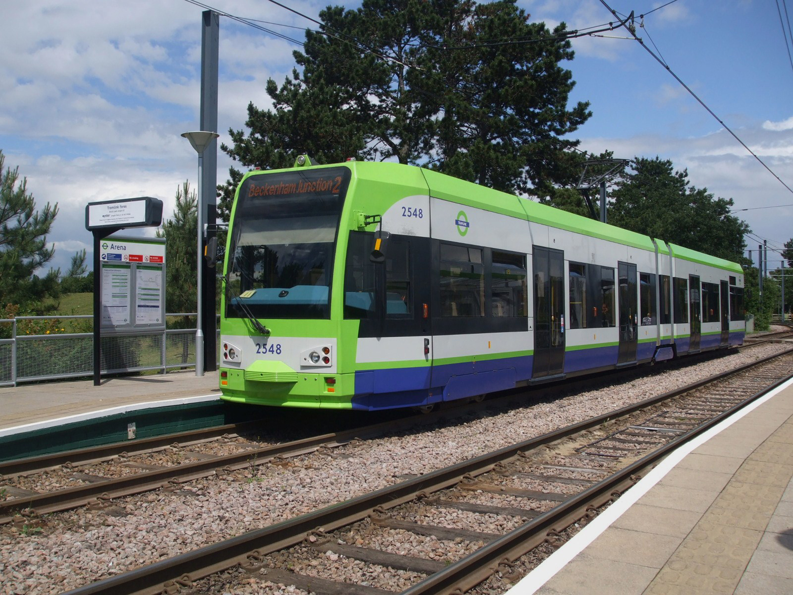
There are three routes on the tram link, detailed in a later section: Route 1 – Elmers End to Croydon; Route 2 – Beckenham Junction to Croydon; and Route 3 – New Addington to Wimbledon.
Route 2 runs parallel to the Crystal Palace to Beckenham Junction line of the Southern network between Birkbeck and Beckenham Junction, the National Rail track had been singled some years earlier.[4]
From Elmers End to Woodside route 1, and also route 2 from Arena, take part of the former British Rail branch line to Addiscombe then diverges to reach Addiscombe tram stop which is 500 metres west of the now demolished railway station. At Woodside, the old station buildings still stand disused, and the original platforms have been replaced by accessible low platforms.
From Woodside to near Sandilands (routes 1 & 2) and from near Sandilands almost to Lloyd Park (route 3) Tramlink follows the former Woodside and South Croydon Railway, including the Park Hill (or Sandilands) tunnels.
The section of Route 3 between Wimbledon and West Croydon follows the old single-track British Rail route for the most part, which was closed on 31 May 1997 so that it could be converted for Tramlink.[5] Within this section, from near Phipps Bridge to near Reeves Corner, route 3 follows the Surrey Iron Railway. This gives Tramlink a claim to the world's oldest aligned trackbed. Tramway Path beside Mitcham tram stop had its name long before Tramlink. A partial obstruction of the route near this point has necessitated the use of gauntlet track.
A Victorian footbridge beside Waddon New Road was dismantled to make way for the flyover[6] that takes Tramlink over the West Croydon to Sutton railway line. The footbridge has been re-erected at Corfe Castle station on the Swanage Railway (although alternative evidence suggests that this was, in fact, a similar footbridge removed from the site of the former Merton Park Railway Station[7][8].)
Buyout by Transport for London
In March 2008 TfL announced that it had reached agreement to buy Tramtrack Croydon Limited (TCL) for £98m. The purchase was finalised on 28 June 2008.[9] The background to this purchase relates to the requirement that TfL (who took over from London Regional Transport in 2000) compensates TCL for the consequences of any changes to the fares and ticketing policy introduced since 1996. In 2007 that payment was £4m, with an annual increase in rate.[3]
In October 2008 TfL introduced a new colour scheme to the vehicles, using the blue, white and green of the routes' symbol on TfL maps, to distinguish the trams from its buses operating in the area.[10]
Current system
Stops
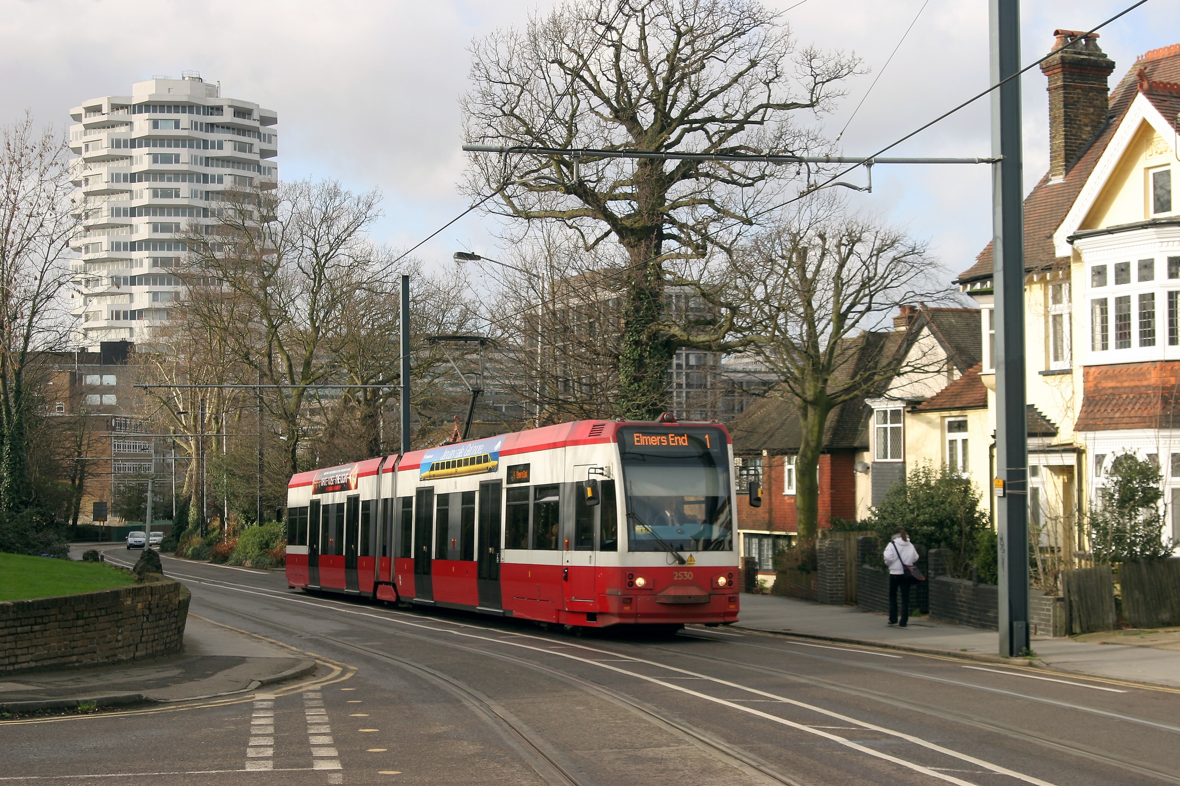
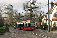 Tram 2530 in the second livery on 24 August 2004, leaving Croydon on an Elmers End service
The tram stops have low platforms, 35 cm (14 in) above rail level. Stops are un-staffed and have automated ticket machines for ticket sales. In general, access between the platforms involves crossing the tracks by pedestrian level crossing. There are 39 tram stops, most being 32.2 m (106 ft) long. They are virtually level with the doors and are all wider than 2 m (6 ft 7 in). This allows for wheelchairs, prams, pushchairs and the elderly to board the tram easily with no steps. In street sections, the pavement is integrated with the tram stop.
Tramlink uses some former main-line stations on the Wimbledon–West Croydon and Elmers End–Coombe Road stretches of line that were taken over. The railway platforms have been demolished and rebuilt to Tramlink specifications, except at Elmers End and Wimbledon where the track level was raised to meet the higher platforms, to enable cross-platform interchange.
Thirty eight stops opened as part of the phased introduction of tram services in May 2000. Centrale tram stop in Tamworth Road opened on 10 December 2005, increasing journey times slightly. As turnround times are already quite tight this raised the issue of buying an extra tram to maintain punctuality. Partly for this reason, but also to take into account the planned restructuring of services (subsequently introduced in July 2006), TfL had issued tenders for a new tram. However, nothing resulted from this.
All stops have disabled access, raised paving, CCTV, a Passenger Help Point, a Passenger Information Display (PID), litter bins, a ticket machine, a noticeboard and lamp-posts, and most also have seats and a shelter.
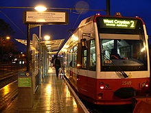
The PIDs display the destination and expected arrival times of the next two trams. They can also display any message the controllers want to display, such as information on delays or even direct instructions to vandals to stop placing objects on the track.
Routes
Tramlink is not shown on the standard tube map, but is shown on the "London Connections" map. The original route structure was Line 1 Wimbledon to Elmers End, Line 2 Croydon to Beckenham Junction, and Line 3 Croydon to New Addington.[11] On 23 July 2006 the route network was restructured, with route 1 from Elmers End to Croydon and route 2 from Beckenham Junction to Croydon, running every 10 minutes Monday – Saturday daytime, every 30 minutes at other times, and route 3 from New Addington to Wimbledon every 7.5 minutes Monday – Saturday daytime, every 15 minutes at other times.
Since being taken over by TfL all routes have a maximum service interval of fifteen minutes service during all operational hours.
Route 1 (lime)
Main article: Tramlink route 1Route 1 - Terminus: Elmers End

- Arena
- Woodside
- Blackhorse Lane
- Addiscombe
- Sandilands
- Lebanon Road
- East Croydon
 Trains to Gatwick and Luton
 - George Street
- Church Street
- Centrale
- West Croydon
- Wellesley Road
Then to East Croydon and back as Route 2 to Beckenham Junction

Route 2 (lime)
Main article: Tramlink route 2Route 2 - Terminus: Beckenham Junction
- Beckenham Road
- Avenue Road
- Birkbeck
- Harrington Road
- Arena
- Woodside
- Blackhorse Lane
- Addiscombe
- Sandilands
- Lebanon Road
- East Croydon
Trains to Gatwick and Luton - George Street
- Church Street
- Centrale
- West Croydon
- Wellesley Road
Then to East Croydon and back as Route 1 to Elmers End
Route 3 (green)
Main article: Tramlink route 3Route 3 - Terminus: New Addington
- King Henry's Drive
- Fieldway
- Addington Village
- Gravel Hill
- Coombe Lane
- Lloyd Park
- Sandilands
- Lebanon Road
- East Croydon
Trains to Gatwick and Luton - George Street
- Church Street
- Wandle Park
- Waddon Marsh (for Purley Way retail parks)
- Ampere Way (for Valley Park retail park)
- Therapia Lane
- Beddington Lane
- Mitcham Junction
- Mitcham
- Belgrave Walk
- Phipps Bridge
- Morden Road
- Merton Park
- Dundonald Road
- Wimbledon

Then back to Wandle Park
Then to East Croydon and back to New Addington
Change in Route Colours
When Transport for London took over operation and ownership a new network map was designed, combining Routes 1 and 2 as one service, coloured "Trams Green" (lime). (Originally, Line 1 was coloured yellow, Line 2 was red, and Line 3 was a darker (District line) green.[11]) However, the distinction is still made in practice, as trams from Elmers End on Route 1 change their numbers in central Croydon to Route 2 (Beckenham Junction) and do the reverse when working in the other direction.
Fares and ticketing
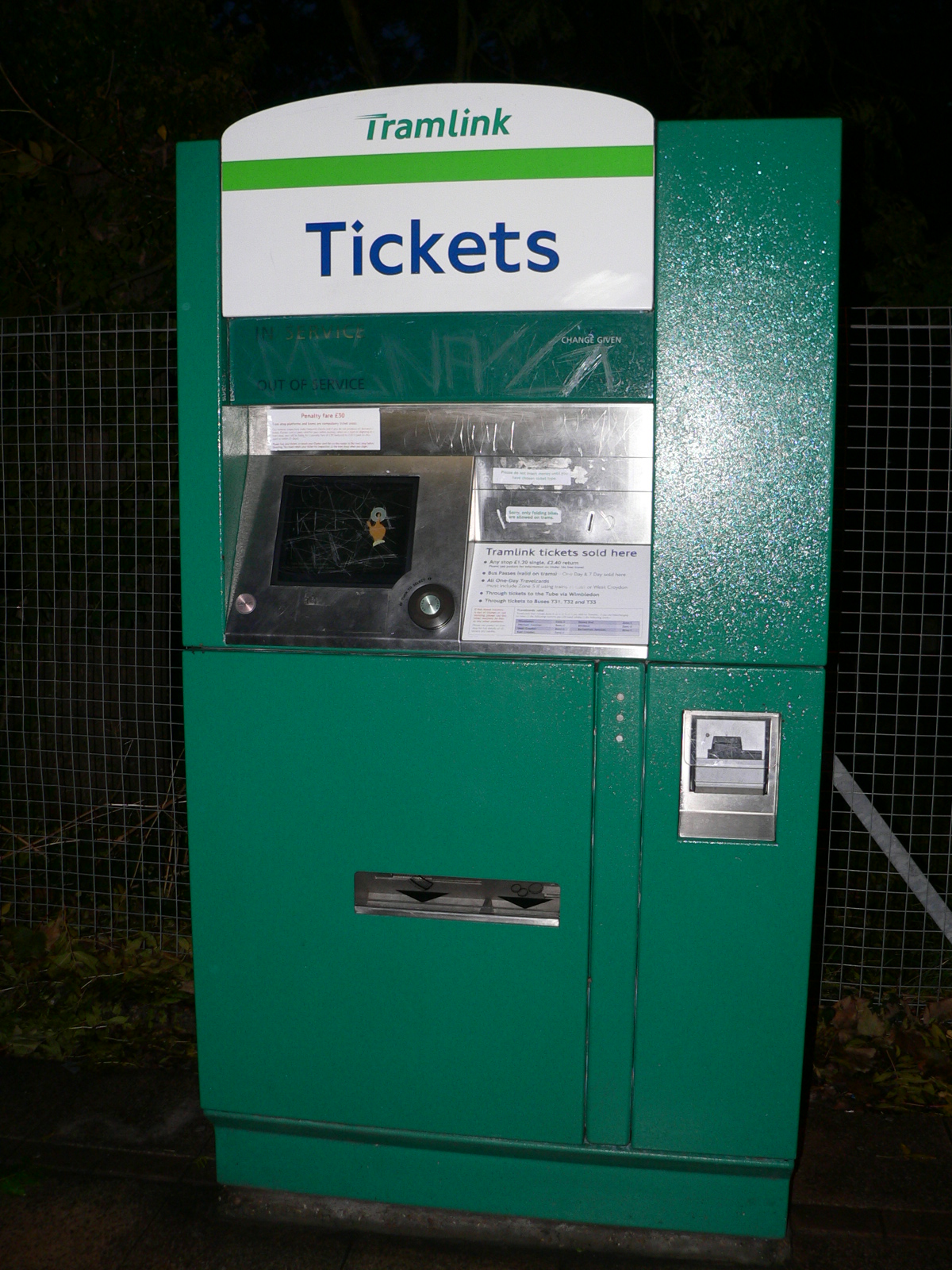
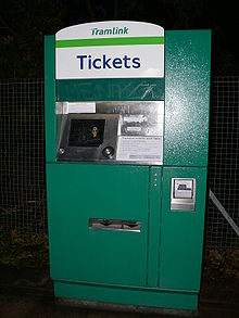 A Tramlink Ticket Machine
As part of the TfL network, all TfL Bus Passes are valid on Tramlink – as are Travelcards that include any of zones 3, 4, 5 and 6.
Cash fares and pay-as-you-go Oyster Card fares are the same as on London Buses, although special fares may apply when using Tramlink feeder buses.
When using Oyster Cards, passengers must touch in on the platform before boarding the tram. Special arrangements apply at Wimbledon station, where the Tramlink stop is located within the National Rail and London Underground station.
Rolling stock
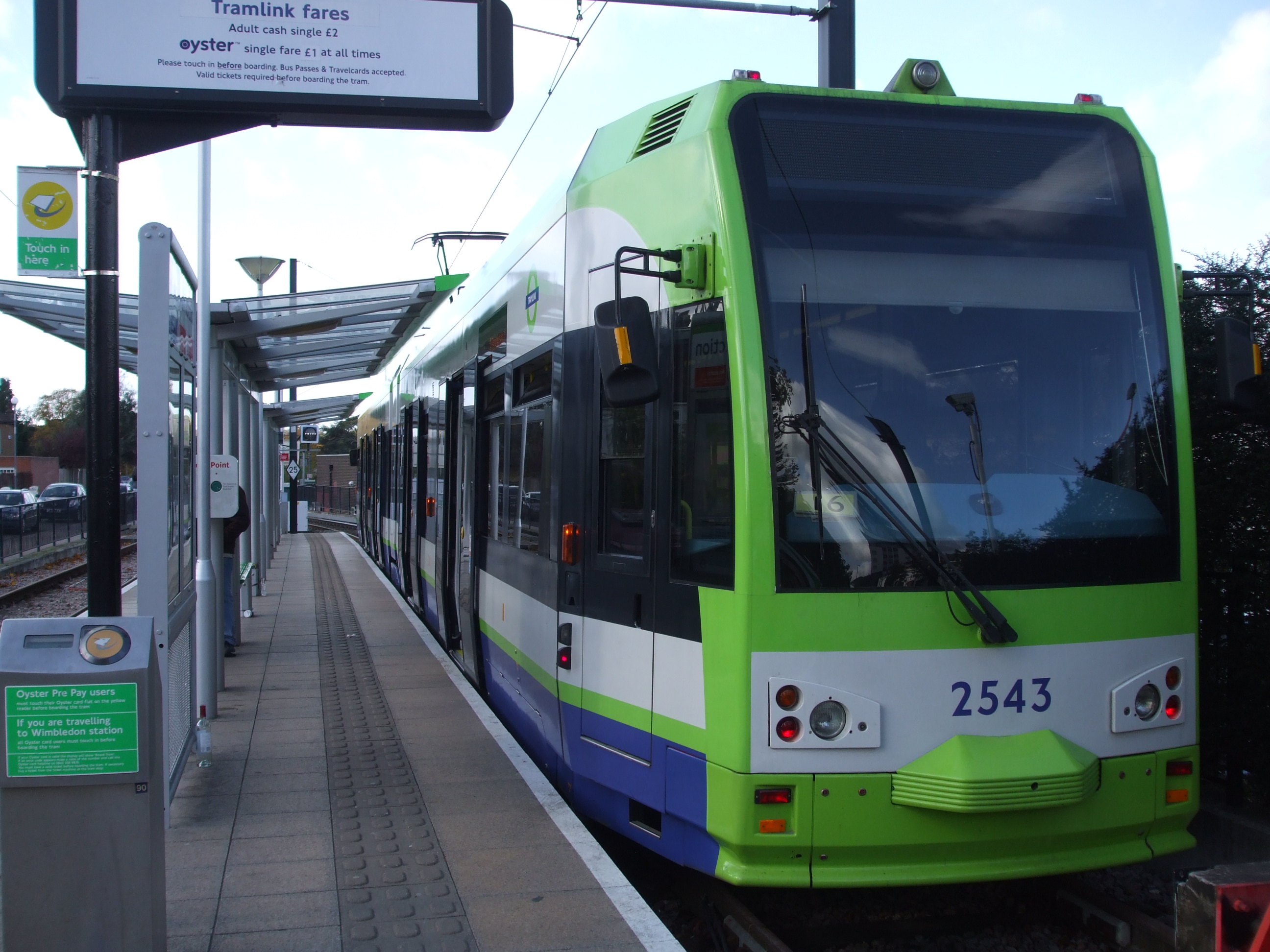
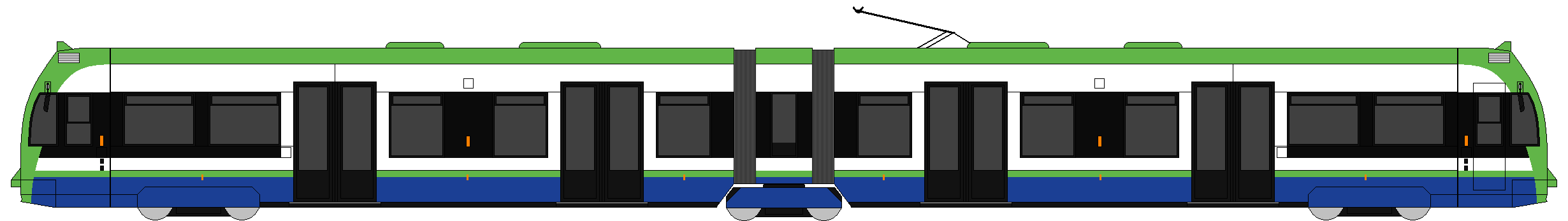
Main article: CR4000Tramlink is operated with 24 articulated low floor Flexity Swift CR4000 trams built by Bombardier Transportation in Vienna. The trams are numbered beginning at 2530, continuing from the highest-numbered tram, number 2529 on London's former tram network, which closed in 1952.
All trams have now been refurbished, including a repaint into a new livery.[12]
As of September 2009[update], it was reported that four more trams were planned, and to avoid the extra costs of a short production run, Tramlink was seeking to lease these from Edinburgh Trams, where the construction of new track and depot is facing long delays, but the rolling stock was due for delivery from early in 2010.[13] The Edinburgh Tram will be manufactured by CAF of Spain.[14] To accommodate the extra capacity, some sections of single-track line may be doubled.[15]
In January 2011 Tramtrack Croydon began tendering for the supply of an additional 10 new or second-hand trams for Tramlink to be supplied from the end of summer 2011.[16] The trams will be used between Therapia Lane and Elmers End.[17][18]
On 18 August 2011 TfL announced that Stadler Rail had won a £16 million contract to supply six Variobahn trams similar to vehicles used by Bybanen in Bergen, Norway.[18] They are to enter service in spring 2012.[18]
Class Image Top speed Number Built mph km/h CR4000 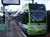
50 80 24 1998–2000 Variobahn 50 80 6 2011-2012 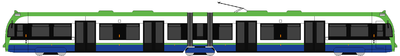
Future Developments
Projected extensions
The Mayor's Transport Strategy for London states that extensions to the Tramlink network could be developed at relatively modest cost where there is potential demand from existing and new development to support concentrated passenger movements, and where Tramlink technology might be cost effective. Proposal 4D7 says that "The Mayor will explore the potential for extending the Tramlink network where doing so could help meet the objectives of the Transport Strategy cost effectively"[19] and sought initial views on the viability of a number of extensions by summer 2002.
An initial review of potential Tramlink extensions has been prepared and discussed with interested parties. TfL now wishes to carry out initial development and evaluation work on the following routes:
Extension Route Sutton Town Centre/Station – Wimbledon Through St Helier, Morden and Morden Road (including via St. Helier Hospital and direct routes and routing variants within Sutton Town Centre) Sutton – Tooting Through St Helier and Mitcham (including routing variants via Mitcham Junction and direct) Mitcham Junction – Mitcham town centre Through Mitcham Common Central Croydon – Coulsdon Through Purley/Purley Station and could involve a Park and Ride scheme Central Croydon – Brixton Through Thornton Heath, Norbury, Streatham and Streatham Hill as well as past Mayday Hospital Harrington Road/Beckenham Junction – Crystal Palace Various route options including (below) - from Harrington Road and Birkbeck
- from Church Street and Wellesey Road
- from Reeves Corner and West Croydon
- Thornton Heath Pond
- Norbury
- Streatham (connection with Thameslink)
- Streatham Hill (connection with Southern)
- Brixton (connection with Victoria Line)
- from Wimbledon (follows Thameslink to Sutton)
- Wimbledon Chase
- South Merton
- Morden South
- St Helier
- Sutton Common
- West Sutton
- Sutton
- Mitcham (intersection at current stop)
- Tooting (connection with Thameslink)
- Tooting Broadway (connection with Northern line)
Other extension proposals include Lewisham, Bromley town centre, Biggin Hill Airport/Village and a local spur/loop to penetrate further into Purley Way retail/industrial park.
Starting in the west, there are two corridors that suggest bringing Tramlink to Sutton town centre. The first of these, proposing operations principally between Wimbledon and Sutton, has been in view even before Tramlink opened. Indeed, presumptuously, the trams were delivered with destination displays for this as “line 4” already included on blind sets.
Extension D / Route 4
 Tramlink rail lines across South Norwood Country Park
Route 4 (proposed) - Beckenham Junction
- Beckenham Road
- Avenue Road
- Birkbeck
- Penge Road
- Anerley Road
- Crystal Palace
- Crystal Palace Parade
Then back to Penge Road
- Harrington Road
- Arena
- Woodside
- Blackhorse Lane
- Addiscombe
- Sandilands
- Lebanon Road
- East Croydon (Trains to Gatwick and Luton)
- George Street
- Church Street
- Centrale
- West Croydon
- Wellesley Road
Then to East Croydon and back to Beckenham Junction or Crystal Palace
Tramlink route 4, was the only extension being formally developed. The proposed route linked Harrington Road stop with Crystal Palace, and Crystal Palace directly with Beckenham Junction, both terminating at Crystal Palace Parade. There were three options on how to get to the Parade: on-street, off-street and a mixture of the two.[20] Following recent consultation the off-street option is favoured, with trams running along existing railway as far as Crystal Palace Station, and then running round the western edge of Crystal Palace Park (within the current park's perimeter) to the bus terminus near the parade. TfL have currently stated that due to lack of funding the plans for this extension will not be taken forward,[21] but also say that they are committed to including new proposals for extensions to the tram as part of a future bid to Government.
Extension A
The Sutton to Wimbledon proposal utilises the existing Tramlink infrastructure between Wimbledon and Morden Road stop. The cramped tram terminus inside Wimbledon station is barely adequate for its present function. If another service is to arrive at Wimbledon a new terminus will need to be created. Diverging from the present Croydon route the Sutton line might adopt segregated alignment within the highway along Morden Road, serving Morden station interchange. It would probably use Aberconway Road to reach Morden Hall Road before using the spacious St Helier Avenue as the direct route to St Helier, Rose Hill. St Helier Hospital is an important local traffic objective that Tramlink ought to serve, despite the need to deviate from the direct route into Sutton via Angel Hill. A number of variants in Sutton Town centre are to be examined to see how the shopping centre, station and office complex can be accessed. The alignment is presently served by a number of busy bus services and if built, would give Tramlink patrons direct interchange with the Northern Line at Morden. A south-to-east curve may also be considered at Morden Road to permit direct operations that link St Helier to Mitcham and Croydon.[22]
Extension B
The other Sutton proposal – to Tooting – is more ambitious and undoubtedly contains many more challenges than Sutton/Wimbledon link. Apart from workshop/depot facilities and a curve required to link the line into the existing system, this extension would share no infrastructure with the existing Tramlink. Were “line 4” to be realised ahead of this proposal, the Tooting line would of course then have the St Helier to Sutton section in common. North of St Helier, the alignment is likely to fit across parkland and open space to take in the Willow Lane Industrial Estate before serving Mitcham town centre. Some commonality would be enjoyed here with the short separate proposal to provide a spur from Mitcham Junction to Mitcham town centre. From here, the Tooting projection would seek to use the pedestrianised town centre section before sharing carriageway with all traffic in the part of London Road south of Figge’s Marsh, with room for segregation beyond the junction with Streatham Road. The most difficult leg arises immediately the Merton/Wandsworth boundary is crossed and the most effective way of reaching Tooting Broadway from this point will stir much debate.
North and south from Croydon
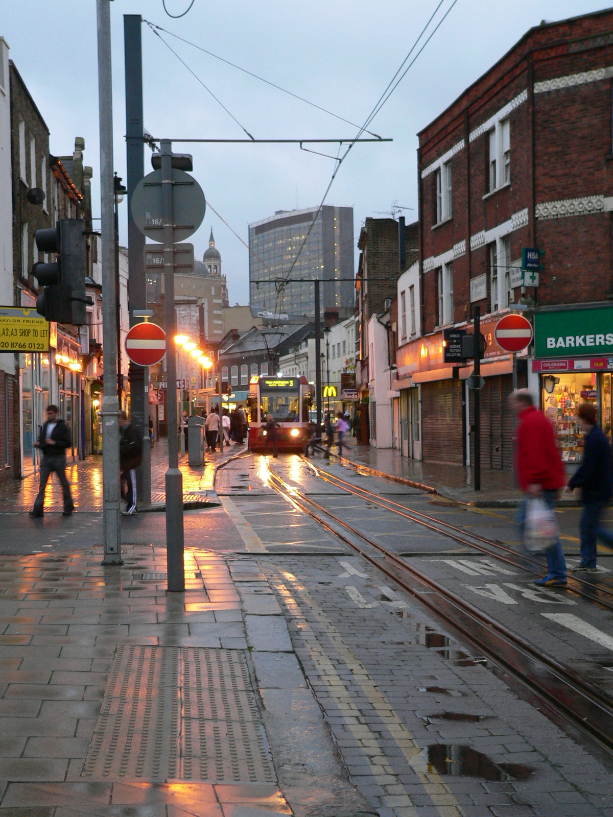
 A tram travelling on Church Street, Croydon
To the north and south of Croydon are some busy bus corridors, which themselves derive from earlier tram routes. These include the Purley – Croydon – Streatham corridor, which is proposed for conversion to tram operation.[23][24]
To the south of Croydon, the proposal is for the new route to diverge from the existing central Croydon loop and use a highway alignment, probably using South End and Brighton Road, to Purley. Beyond Purley, an extension to Coulsdon will be investigated. As this would be close to the M23 motorway, a possibility would be the construction of a park and ride site. However, finding a good alignment will be more difficult south of Purley, where Brighton Road carries the heavy traffic of the A23 trunk road.[24]
To the north of Croydon, it is again proposed to use a highway alignment based on London Road. To the south of Thornton Heath Pond, the use of a shared carriageway is a possibility. North of this point, the road becomes the A23 again, but there are likely to be some opportunities for trambaan type segregation to Norbury and between Norbury and Streatham, although Norbury itself is a pinch point. The proposal is to terminate the line at Streatham railway station, providing an interchange to the extended East London Line.[24]
Other extensions
Work currently commissioned will also check out proposals to extend Tramlink to Biggin Hill, Bromley town centre, Lewisham, and Purley Way. If initial examination shows promise, further work could follow to firm up more detailed routings for these proposals.[25]
Accidents and incidents
- On 7 September 2008 a bus operating on route 468 was involved in a collision with tram 2534 in George Street, Croydon. One person was killed in the accident.[26] A BMW car was also involved in the accident. The victim was thought to have been a pedestrian waiting to cross the road,[27] but it later transpired that he was in fact a passenger thrown through the upper front window of the bus. The driver of the bus was later convicted of causing death by dangerous driving.[28][29]
- On 15 November 2010, a boy of 7 was hit by a tram at Fieldway tram stop, whilst crossing over the tracks on the way to school.[30] He was taken to St George's Hospital with serious leg injuries.
- On 5 April 2011, a woman tripped over and was dragged under a moving tram. She was taken to hospital in a serious condition. The woman is believed to have been running to catch the tram outside East Croydon Station when she tripped and fell.[31]
- On 8th August 2011, sections of the track and overhead line equipment between Reeves Corner and Church Street were severely damaged by fire when the House of Reeves store 40 metres away was set alight during the riots in London. Tramlink services were suspended when rioting and looting began in the area at around 21:30. The fire was at a junction of tram points between the lines running to Reeves Corner, Church Street and Centrale tram stops, meaning that all trams were blocked from getting into Croydon from the west of the line.
Onboard announcements
The onboard announcements in a male voice are made by BBC news reader (and tram enthusiast) Nicholas Owen.[32] The Announcer system is as follows: This tram is for Wimbledon, The next stop will be Merton Park
See also
References
- ^ "Transport for London -London Tramlink". Tfl.gov.uk. 30 May 2000. http://www.tfl.gov.uk/corporate/modesoftransport/1566.aspx. Retrieved 9 May 2010.
- ^ "Croydon Tramlink Act". 1994. http://www.opsi.gov.uk/acts/localact1994/ukla_19940011_en_2#pt1-l1g4.
- ^ a b "TfL announces plans to take over Tramlink services". Transport for London. Archived from the original on 12 April 2008. http://web.archive.org/web/20080412011803/http://www.tfl.gov.uk/corporate/media/newscentre/archive/7741.aspx. Retrieved 18 March 2008.
- ^ "Map of current system using existing and former British rail lines". This is Local London. http://www.railway-technology.com/projects/croydon/croydon1.html. Retrieved 16 November 2007.
- ^ Railway Magazine (IPC Media) 148: 51. 2002. ISSN 0033-8923.
- ^ "Flyover 1". Transport-of-delight.com. http://www.transport-of-delight.com/Tramlink/Pages/TramsinAction/Flyover-1.htm. Retrieved 9 May 2010.
- ^ Wright, Andrew. "PRESTIGIOUS NATIONAL AWARD PLAQUE INSTALLED AT CORFE CASTLE ON 26th OCTOBER 2008". Swanage Railway. http://www.swanagerailway.co.uk/news482.htm. Retrieved 31 August 2011.
- ^ Wright, Andrew. "EX-STRATEGIC RAIL AUTHORITY CHAIRMAN OFFICIALLY OPENS CORFE CASTLE'S HISTORIC VICTORIAN RAILWAY FOOTBRIDGE ON 28th APRIL 2007". Swanage Railway. http://www.swanagerailway.co.uk/news363.htm. Retrieved 31 August 2011.
- ^ "Statement of Accounts for the Year Ending 31 March 2008". Transport for London. 25 June 2008. p. 71, para. 30. c). http://www.tfl.gov.uk/assets/downloads/6-Statement-of-Acounts-2008.pdf. Retrieved 27 June 2008.[dead link]
- ^ Kottegoda, Maheesha (9 October 2008). "It's green for go at Tramlink". Croydon Advertiser. http://www.thisiscroydontoday.co.uk/latestnews/s-green-Tramlink/article-385546-detail/article.html. Retrieved 10 October 2008.
- ^ a b Tramlink: Your top 10 questions answered… Poster, 1995.
- ^ "End of an era as Croydon's last red tram turns green". http://www.thisiscroydontoday.co.uk/news/Exclusive-End-era-Croydon-s-red-tram-turns-green/article-869210-detail/article.html.
- ^ Truman, Peter (9 September 2009). "Scottish trams diverted to Croydon". Croydon Guardian. http://www.croydonguardian.co.uk/news/4587166.Scottish_trams_diverted_to_Croydon/. Retrieved 10 September 2009.
- ^ "Preparation and Procurement...Tram Vehicles". Edinburgh Trams: The story so far. Transport Initiatives Edinburgh. http://www.edinburghtrams.com/index.php/story_so_far/view_details/21/. Retrieved 10 September 2009.
- ^ Staff writer (1 April 2009). "Hunt for trams in Europe as passenger numbers soar". Railnews. http://www.railnews.co.uk/news/metro/2009/04/01-tfl-croydon-tramlink.html. Retrieved 2 April 2009.
- ^ "London Tramlink seeks bids for additional trams". Railway Gazette International. 31 January 2011. http://www.railwaygazette.com/nc/news/single-view/view/london-tramlink-seeks-bids-for-additional-trams.html.
- ^ Rail Magazine page 16, 'News In Brief – New Trams for Croydon' Issue 663, 9th – 22 February 2011
- ^ a b c "Stadler wins London Tramlink tram order". Railway Gazette International. 18 August 2011. http://www.railwaygazette.com/nc/news/single-view/view/stadler-wins-london-tramlink-tram-order.html.
- ^ London Dockland and Croydon Tramlink Extensions[dead link]
- ^ Crystal Palace extension options to reach the Parade PDF
- ^ Tramlink extension to Crystal Palace[dead link]
- ^ Proposals to extend the Tramlink system Always Touch Out
- ^ "South London Trams – Transport for Everyone – The case for extensions to Tramlink" (PDF). South London Partnership. http://www.tramlink.co.uk/extensions/SLTBrochure.pdf. Retrieved 2 September 2008.
- ^ a b c "Tramlink Extensions". Croydon Tramlink – The Unofficial Site. http://www.tramlink.co.uk/extensions/index.shtml. Retrieved 2 September 2008.
- ^ "Tram network prepares to spread its wings across southern region". This is Local London. http://www.thisislocallondon.co.uk/misc/print.php?artid=572767. Retrieved 16 November 2007.
- ^ "Man killed in bus and tram crash". BBC. 7 September 2008. http://news.bbc.co.uk/1/hi/england/london/7602748.stm. Retrieved 8 September 2008.
- ^ "Man dies after horrific bus and tram pile-up". The Daily Mail. UK. http://www.mailonsunday.co.uk/news/article-1053231/Man-dies-horrific-bus-tram-pile-up.html. Retrieved 8 September 2008.
- ^ "Bus driver charged over Croydon death crash with tram". thisiscroydontoday.co.uk. http://www.thisiscroydontoday.co.uk/news/Bus-driver-charged-Croydon-death-crash-tram/article-720999-detail/article.html. Retrieved 9 December 2009.
- ^ Wilson, Cherry (2 December 2009). "Bus driver found guilty of causing passenger's death". Croydon Advertiser. http://www.thisiscroydontoday.co.uk/news/Breaking-news-Bus-driver-guilty-causing-passenger-s-death/article-1569170-detail/article.html. Retrieved 7 June 2010.
- ^ [1]
- ^ [2] Croydon_woman_dragged_under_tram_in_serious_condition
- ^ "Tramlink celebrates its seventh birthday". http://www.yourlocalguardian.co.uk/news/1407400.tramlink_celebrates_its_seventh_birthday/. Retrieved 3 February 2009.
External links
- "London Trams". Transport for London. http://www.tfl.gov.uk/modalpages/2674.aspx. Retrieved 11 July 2008.
- Parascandolo, Stephen. "Croydon Tramlink – The Unofficial Website". http://www.croydon-tramlink.co.uk. Retrieved 11 July 2008.
- "London Croydon Tramlink Underground Real Distance Map". City Rail Transit. http://www.cityrailtransit.com/maps/london_map.htm. Retrieved 11 July 2008.
- Current network map
Tramlink 
Tramlink route 1 Addiscombe • Arena • Blackhorse Lane • Centrale • Church Street • East Croydon • Elmers End • George Street • Lebanon Road • Sandilands • Wellesley Road • West Croydon • Woodside
Tramlink route 2 Tramlink route 3 Addington Village • Ampere Way • Beddington Lane • Belgrave Walk • Centrale • Church Street • Coombe Lane • Dundonald Road • East Croydon • Fieldway • George Street • Gravel Hill • King Henry's Drive • Lebanon Road • Lloyd Park • Merton Park • Mitcham Junction • Mitcham • Morden Road • New Addington • Phipps Bridge • Reeves Corner • Sandilands • Therapia Lane • Waddon Marsh • Wandle Park • Wellesley Road • West Croydon • Wimbledon Tramlink route 4
(Proposed)Addiscombe • Anerley Road • Arena • Avenue Road • Beckenham Junction • Beckenham Road • Birbeck • Blackhorse Lane • Centrale • Church Street • Crystal Palace • Crystal Palace Parade • East Croydon • George Street • Harrington Road • Lebanon Road • Penge Road • Sandilands • Wellesley Road • West Croydon • WoodsideFuture Tramlink Stations Anerley Road • Crystal Palace Parade • Penge Road Map of proposed extensionFuture Proposals Since 2008, TfL proposals for an extension to Tramlink route 4 have been put on hold until after Crossrail Line 1 in 2018.Rolling Stock CR4000 (New Livery in 2009)Tramlink Network Map Tramlink • Transport for London
UK light rail systems Tramways CurrentFutureEdinburgh TramsProposedCancelledBristol Supertram · CITI Belfast · Cross River Tram · Leeds Supertram · Merseytram · Penistone Line Tram-Train · West London Tram
Metro CurrentProposedNorth and West London Light Railway · West London OrbitalPreserved Black Country Living Museum · East Anglia Transport Museum · Heaton Park Tramway · National Tramway Museum · Seaton Tramway · Wirral Transport Museum · Wirral TramwayUK light rail vehicles Tram HeritageSecond generationCR4000 (Croydon) · Citytram · Edinburgh Tram · Flexity 2 (Blackpool) · Incentro AT6/5 (Nottingham) · M5000 (Manchester) · Supertram (Sheffield) · T-68 (Manchester) · T-69 (Midlands) FamiliesFlexity Swift · Flexity 2 · Incentro Metro CurrentB90/B92/B2K (Docklands) · B07 (Docklands) · London Underground · Tyne and Wear Metro (Class 994) WithdrawnTram-train DieselTransport in London Companies and
organisationsBuses · Coaches · Crossrail (under construction) · Cycle Hire · Dial-a-Ride · Docklands Light Railway · London Overground · London Underground · London Rail · River · Source London · Streets · Taxis · TramlinkBus operatorsAbellio · Arriva London · Arriva East Herts & Essex · Arriva Southern Counties · CT Plus · First London · Go-Ahead London · London Sovereign · London United · Metrobus · Metroline · Quality Line · Stagecoach London · UnoTrain operatorsc2c · Chiltern Railways · East Coast · East Midlands Trains · Eurostar · First Capital Connect · First Great Western · First Hull Trains · First ScotRail (Sleeper) · Gatwick Express · Grand Central · Heathrow Connect · Heathrow Express · London Midland · London Overground · National Express East Anglia · South West Trains · Southeastern · Southern · Stansted Express · Virgin TrainsOtherAirports MainOtherMajor stations OtherClapham Junction · East Croydon · Heathrow Stations · Stratford · Wimbledon · Surbiton · All stations by fare zoneRoads MotorwaysRing roadsChargingOlympic Transport Emirates Air Line (cable car) (under construction) · Southeastern Olympic JavelinTicketing Categories:- Transport in Croydon
- Light rail in the United Kingdom
- Trams in London
- Tramlink
- Tram transport in England
- Croydon 2020
- Railway lines opened in 2000
- Proposed public transport in the United Kingdom
- Modes of transport in London
- Electric railways in the United Kingdom
- Standard gauge railways in England
- Terminus: Elmers End


Wikimedia Foundation. 2010.