- Mitcham Junction station
-
Mitcham Junction 


 Mitcham Junction
Location of Mitcham Junction in Greater LondonLocation Mitcham Local authority London Borough of Merton Managed by Southern Station code MIJ Number of platforms 4 Accessible  [1]
[1]Fare zone 4 National Rail annual entry and exit 2004-05 0.174 million[2] 2005-06 0.175 million[2] 2006-07 0.278 million[2] 2007-08 0.324 million[2] 1 October 1868 Opened 31 May 1997 West Croydon to Wimbledon Line Closed 2000 Tramlink opened List of stations Underground · National Rail External links Departures • Layout Facilities • Buses Coordinates: 51°23′35″N 0°09′27″W / 51.393°N 0.1576°W
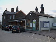
Mitcham Junction is a National Rail station served by First Capital Connect and Southern trains, and a Tramlink stop. It is in the London Borough of Merton and is in Travelcard Zone 4.
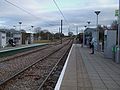
The station opened on 1 October 1868.[3] Despite its name, Mitcham Junction no longer has a junction: one of the two lines that crossed here (the West Croydon to Wimbledon Line) has become a grade-separated Tramlink route. The other line is used by services between Sutton and London Victoria, or London Blackfriars and beyond. This line still has sharp curves at either end of the station where the junctions were located and speed is limited to 20 miles per hour (32 km/h).
Mitcham Junction is not in the centre of Mitcham but is near the historic Cricket Green Conservation Area, across Mitcham Common. The nearest mainline railway station to the commercial centre of Mitcham is Mitcham Eastfields located between Mitcham Junction and Streatham which opened on 2 June 2008.
As part of a programme of improvements being run by Southern, the office and yard which were once adjacent to the northern platform were levelled in early 2010. In addition, the station is now open for about 19 hours per day. Work continues on the improvement of the station buildings.
Contents
Services
The typical off-peak train service per hour is:
- 2tph (trains per hour) to St Albans via Herne Hill and London Blackfriars
- 2tph to London Victoria via Clapham Junction
- 2tph to Wimbledon via Sutton
- 2tph to Epsom via Hackbridge and Sutton
The typical off-peak tram service per hour is:
- 8tph to Wimbledon
- 8tph to New Addington
Transport links
London bus routes 127, S1 pass the station and route 264 9mins walk to the station.
Layout
Tram stop
Side Platform Eastbound Route 3 towards New Addington Westbound Route 3 towards Wimbledon Side Platform References
- ^ "London and South East". Rail Map for People with Reduced Mobility. National Rail. September 2006. http://www.nationalrail.co.uk/system/galleries/download/mobility_maps/LondonSouthEast.pdf. Retrieved 1 January 2010.
- ^ a b c d "Station usage". Rail statistics. Office of Rail Regulation. 30 April 2010. http://www.rail-reg.gov.uk/server/show/nav.1529. Retrieved 17 January 2011. Please note: Some methodology may vary year on year.
- ^ Butt, R.V.J. (1995). The Directory of Railway Stations. Yeovil: Patrick Stephens Ltd. p. 161. ISBN 1 85260 508 1. R508.
Gallery
-

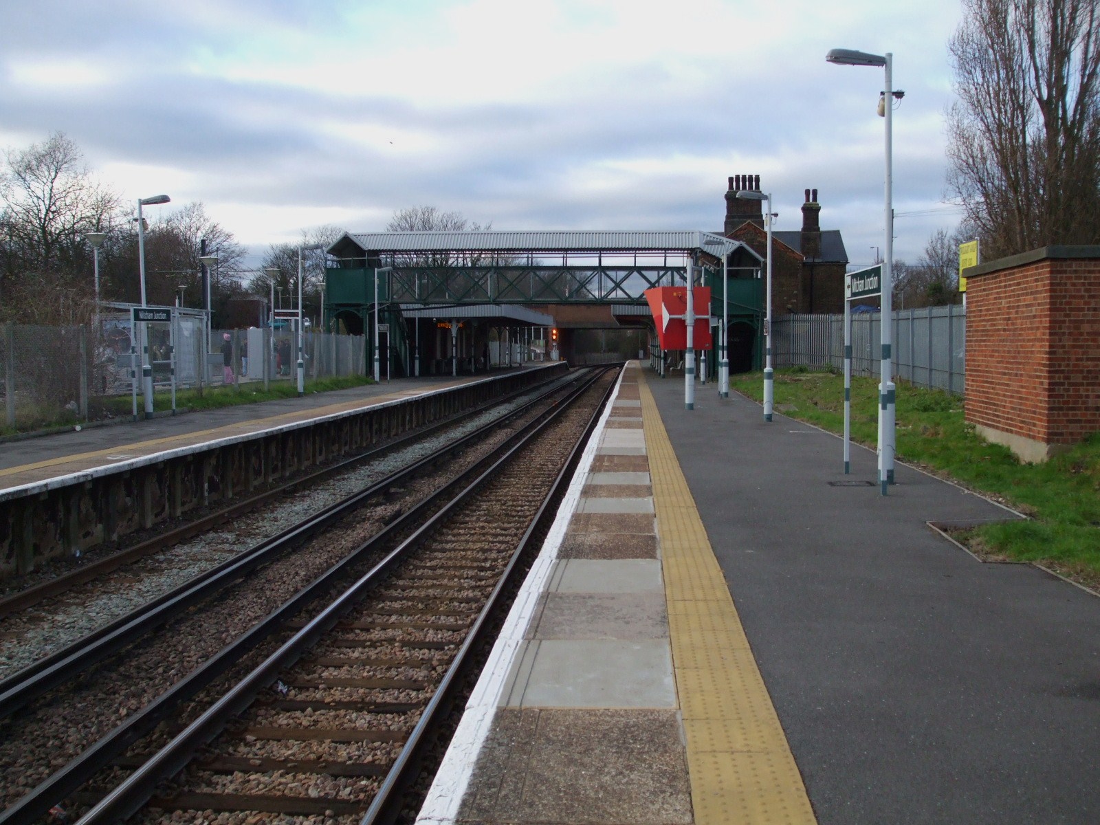
Main line station looking west (actually northbound here)
-
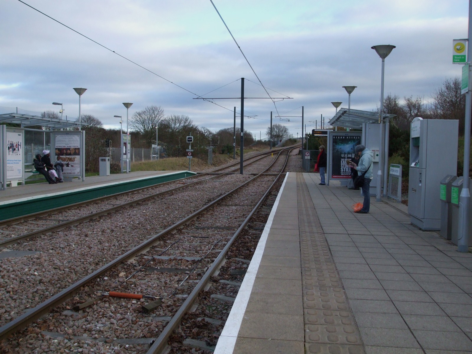
Tram stop looking east
-
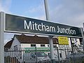
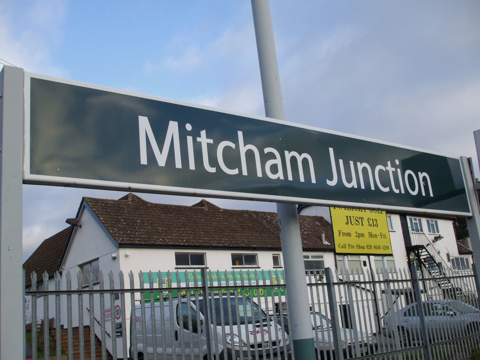
Main line station platform signage
-
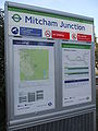
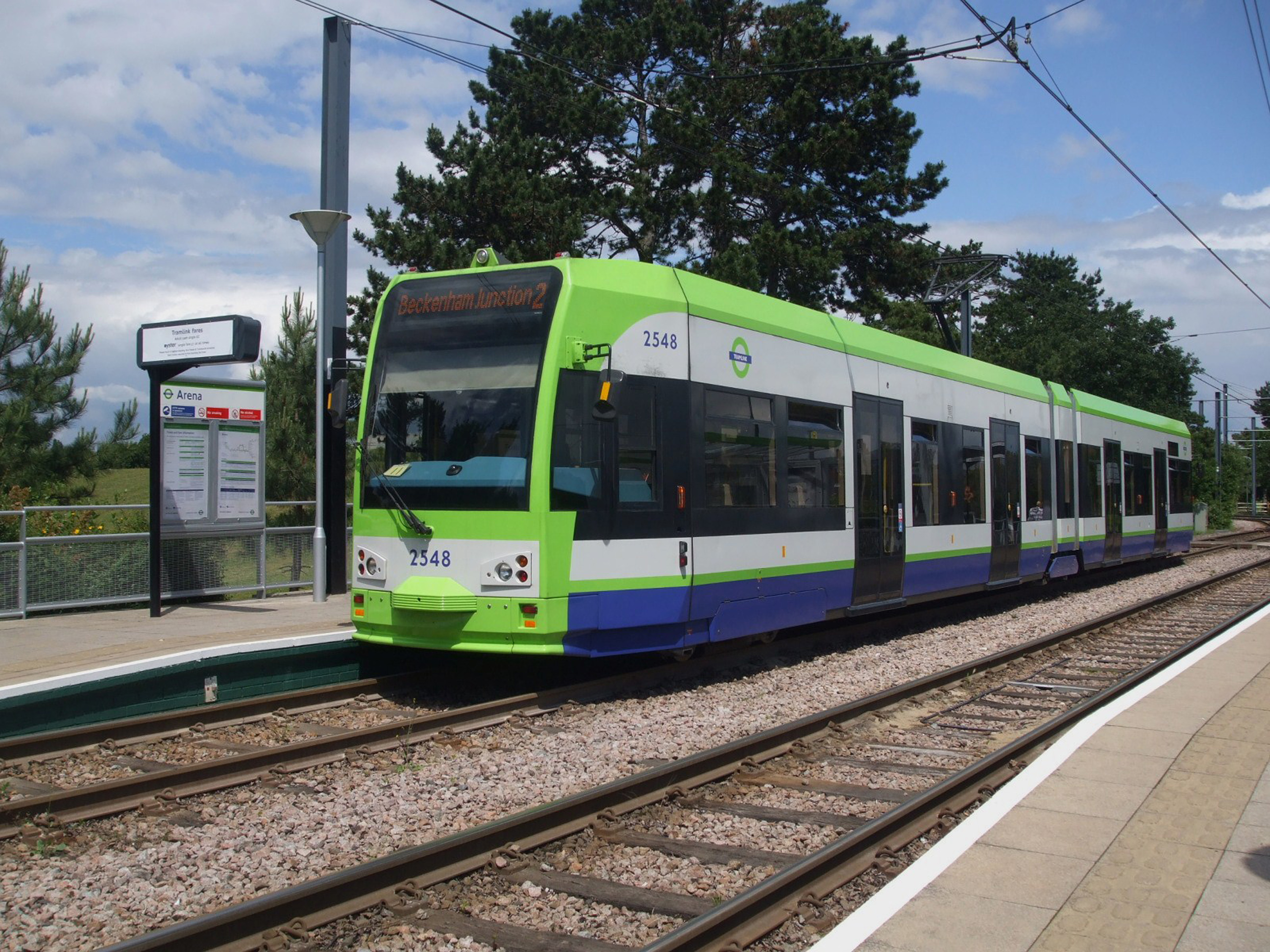
Tram stop signage
Preceding station  National Rail
Following station Mitcham Eastfields Southern
Sutton & Mole Valley LinesHackbridge First Capital Connect
Sutton LoopPreceding tram stop  Tramlink
Following tram stop towards WimbledonRoute 3 towards New AddingtonDisused railways Mitcham Network SouthEast
West Croydon to Wimbledon LineBeddington Lane Transport in London Companies and
organisationsBuses · Coaches · Crossrail (under construction) · Cycle Hire · Dial-a-Ride · Docklands Light Railway · London Overground · London Underground · London Rail · River · Source London · Streets · Taxis · TramlinkBus operatorsAbellio · Arriva London · Arriva East Herts & Essex · Arriva Southern Counties · CT Plus · First London · Go-Ahead London · London Sovereign · London United · Metrobus · Metroline · Quality Line · Stagecoach London · UnoTrain operatorsc2c · Chiltern Railways · East Coast · East Midlands Trains · Eurostar · First Capital Connect · First Great Western · First Hull Trains · First ScotRail (Sleeper) · Gatwick Express · Grand Central · Heathrow Connect · Heathrow Express · London Midland · London Overground · National Express East Anglia · South West Trains · Southeastern · Southern · Stansted Express · Virgin TrainsOtherAirports MainOtherMajor stations OtherClapham Junction · East Croydon · Heathrow Stations · Stratford · Wimbledon · Surbiton · All stations by fare zoneRoads MotorwaysRing roadsChargingOlympic Transport Emirates Air Line (cable car) (under construction) · Southeastern Olympic JavelinTicketing 
This UK Tram-related article is a stub. You can help Wikipedia by expanding it.


