- City Thameslink railway station
-
City Thameslink 
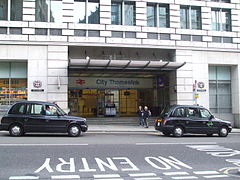
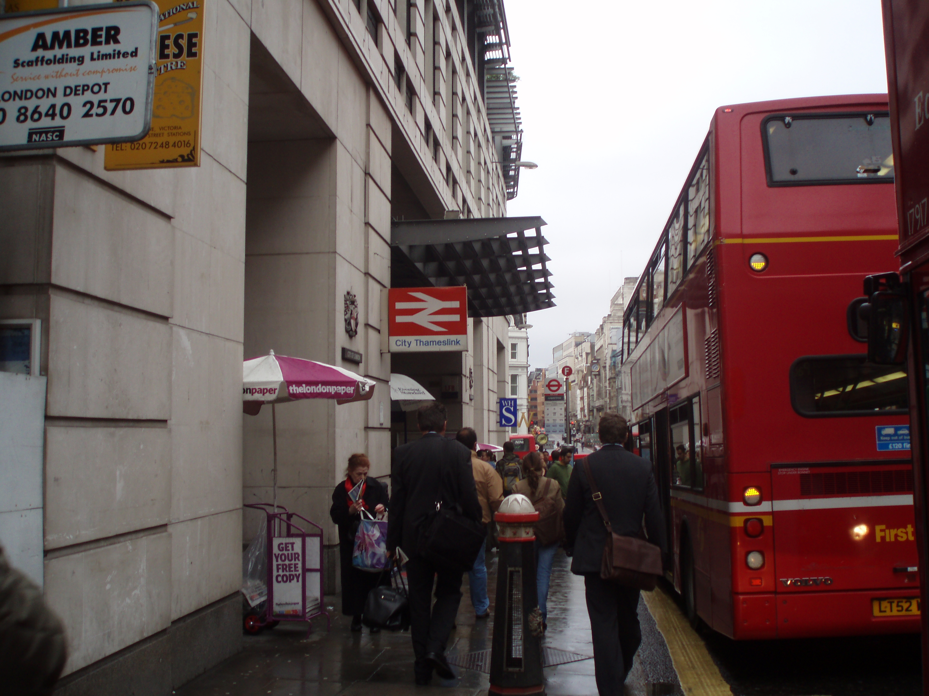
Southern entrance on Ludgate Hill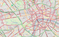
 City Thameslink
Location of City Thameslink in Central LondonLocation Holborn Viaduct / Ludgate Circus Local authority City of London Managed by First Capital Connect Owner Network Rail Station code CTK Number of platforms 2 Accessible  [1]
[1]Fare zone 1 National Rail annual entry and exit 2004-05  4.010 million[2]
2005-06 4.645 million[2]2006-07 5.479 million[2]2007-08  5.370 million[2]
2008-09 5.294 million[2]1990 Opened List of stations Underground · National Rail External links Departures • Layout Facilities • Buses Coordinates: 51°30′59″N 0°06′13″W / 51.5163°N 0.1037°W
Changes in 1990[3][4] Legend

Snow Hill tunnel 


Smithfield Sidings 


Holborn Viaduct 

Holborn Viaduct Low Level 
City Thameslink 

Ludgate Hill 


Blackfriars 
Mainline railways around the South Bank LegendIf display breaks, try Hide/Show. 
Charing Cross 


Hungerford Bridge across River Thames 


Waterloo International (1994-2007) 


◄ SWML &c. Waterloo 
Waterloo East 
Blackfriars Road (1864-1868) 


◄ Thameslink and to Sevenoaks 

Elephant & Castle 


♦ / B'friars / City Tlk. TLK ► 


(♦, above, was B'friars Bdg [1864-85]) 

Cannon Street 

London Bridge 
River Thames Brighton and SE Main Lines City Thameslink is a National Rail station in the City of London, England. The platforms are underground, with a southern entrance on Ludgate Hill just off Ludgate Circus, and a northern entrance on Holborn Viaduct. It is in Zone 1, between Blackfriars and Farringdon, on the Thameslink route. It was the intended location of Ludgate Circus station on the Fleet Line (now Jubilee Line) until that project was abandoned in the late 1970s. Although a through station, for ticketing purposes it is considered a central London railway terminus for journeys to and from the south.[5]
Contents
History
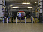 Station ticket barrier, looking towards the Ludgate Hill exit
The station opened on 29 May 1990 as St Paul's Thameslink. The name was changed in 1991, apparently to avoid confusion with St. Paul's London Underground station (Central Line), which is several hundred yards away on the other side of St Paul's Cathedral.
When Thameslink first opened, trains used the approach viaduct for Holborn Viaduct station to reach the Snow Hill tunnel. In preparation for that station's closure on 26 January 1990, a new line between Blackfriars station and the tunnel was constructed, this time on a different alignment slightly to the west and at a lower elevation, allowing buildings to be constructed on top. City Thameslink was built on the line as a replacement for Holborn Viaduct station.[4]
Due to the planned routing of the Fleet Line under the site, part of the station was built to allow a future interchange. This can be seen in the wide spaces on the Ludgate end of the station, where large doors open on to a corridor intended to lead to escalators to a Underground concourse level. It is still known today as the LUL corridor by staff.
When the Thameslink franchise was taken over by First Capital Connect on 1 April 2006 the name "Thameslink" was dropped from the branding of this group of services, but the name of City Thameslink station was not changed. Following criticism of the loss of a useful and distinctive name, FCC has somewhat relented and now refers to this group of services as its "Thameslink route".[6]
As part of the Thameslink Programme, an upgrade of City Thameslink station was completed in October 2010. The platforms were made ready for future 12-car trains, and the passenger information system improved. New lighting and ticket gates were installed.[7]
Services
The station is served by trains on the Thameslink route, whose franchise has been operated by First Capital Connect since 2006. There are two main service patterns: fast trains on the Brighton to Bedford service, and stopping trains between St Albans or Luton and Wimbledon or Sutton. All trains in both categories call at all stations on the central cross-London core of the Thameslink route, including City Thameslink. (However, at present there are no services on most weekends.)
There are also a few terminating peak-hour services from Kent provided by Southeastern and these are turned round in Smithfield sidings just north of the station. This practice will cease once the new Blackfriars station is completed under the Thameslink Programme.
After the bay platforms at London Blackfriars closed in March 2009 Southeastern services which previously terminated at Blackfriars were extended to Kentish Town, St Albans, Luton or Bedford and call at this station.[8] Train services south of Blackfriars are operated by Southeastern, north of Blackfriars by First Capital Connect. Both Southeastern and FCC drivers work the route between Sevenoaks and Bedford. This station is now served by 10 trains per hour in each direction throughout the off-peak, instead of the previous eight.
Transport connections
London Buses routes 4, 11, 15, 17, 23, 26, 76, 100, 172 and night bus routes N11, N15, N21, N26, N47 and N76 serve the Ludgate Hill entrance to the station. Routes 8, 25, 242, 521 and night bus route N8 serve the Holborn Viaduct entrance.
Service patterns
Preceding station  National Rail
Following station FarringdonFirst Capital Connect London BlackfriarsFarringdonFirst Capital Connect Bedford-SevenoaksLondon BlackfriarsTerminus Southeastern City Thameslink-SevenoaksLondon BlackfriarsFuture
There are occasionally suggestions to link the station to the Tube network by providing pedestrian links to an existing station or even a new Ludgate Circus station on a potential extension to the Docklands Light Railway from Bank station to Charing Cross via Aldwych. If built, this extension would be entirely underground and would run along part of the originally intended route of the Jubilee line when it was known as the Fleet Line.
References
- ^ "London and South East". Rail Map for People with Reduced Mobility. National Rail. September 2006. http://www.nationalrail.co.uk/system/galleries/download/mobility_maps/LondonSouthEast.pdf. Retrieved 1 January 2010.
- ^ a b c d e "Station usage". Rail statistics. Office of Rail Regulation. 30 April 2010. http://www.rail-reg.gov.uk/server/show/nav.1529. Retrieved 17 January 2011. Please note: Some methodology may vary year on year.
- ^ Catford, Nick (10 February 2006). "Snow Hill/Holborn Viaduct Low Level". http://www.subbrit.org.uk/sb-sites/stations/s/snow_hill/index.shtml. Retrieved 27 November 2009.
- ^ a b Holborn viaduct to Lewisham by Vic Mitchell & Keith Smith (Middleton press)
- ^ "Section A". National Fares Manual 98. Association of Train Operating Companies. http://www.atoc.org/retail/_downloads/NFM98/NFM98_Common_A.pdf. Retrieved 2 January 2010.[dead link]
- ^ "Train Times: 23 May to 11 September 2010". First Capital Connect. http://www.firstcapitalconnect.co.uk/static/timetables/timetable/FC10M_TLBOOK_All_Routes.v2.pdf. Retrieved 12 November 2010.
- ^ "£4.5m upgrade of City Thameslink complete" (Press release). First Capital Connect. 15 October 2010. http://www.thameslinkprogramme.co.uk/news/news_items/view/62.
- ^ "Train times 22 March - 16 May 2009 Thameslink route". First Capital Connect. http://www.firstcapitalconnect.co.uk/content/doc/timetables/tttl_book_pdf_ontime_final_ver.pdf. Retrieved 20 March 2009.[dead link]
External links
- Train times and station information for City Thameslink railway station from National Rail
Gallery
-
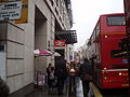
Another view of the Ludgate Hill entrance
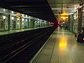
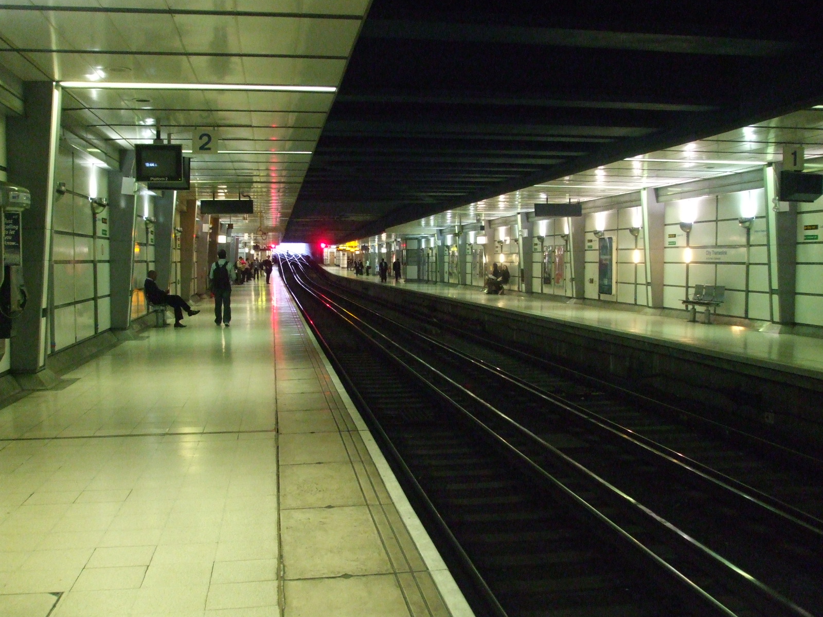
-

Looking southwards
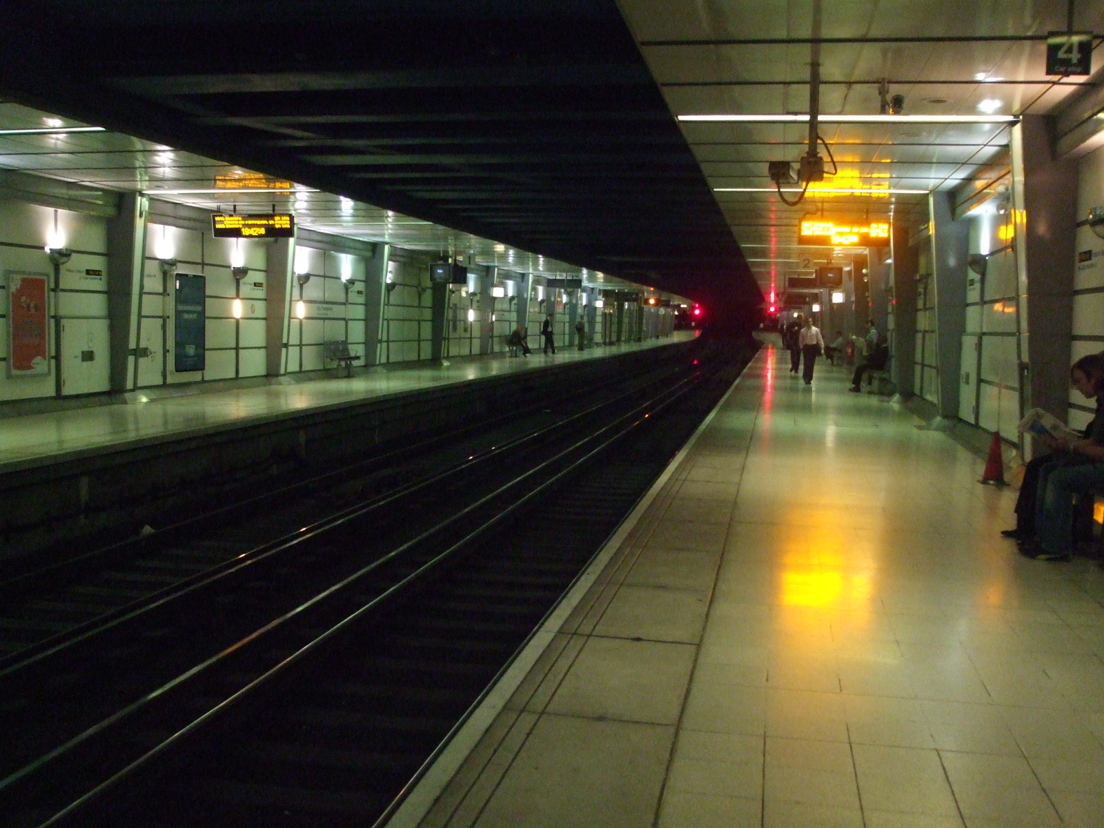
-
Looking northwards
-

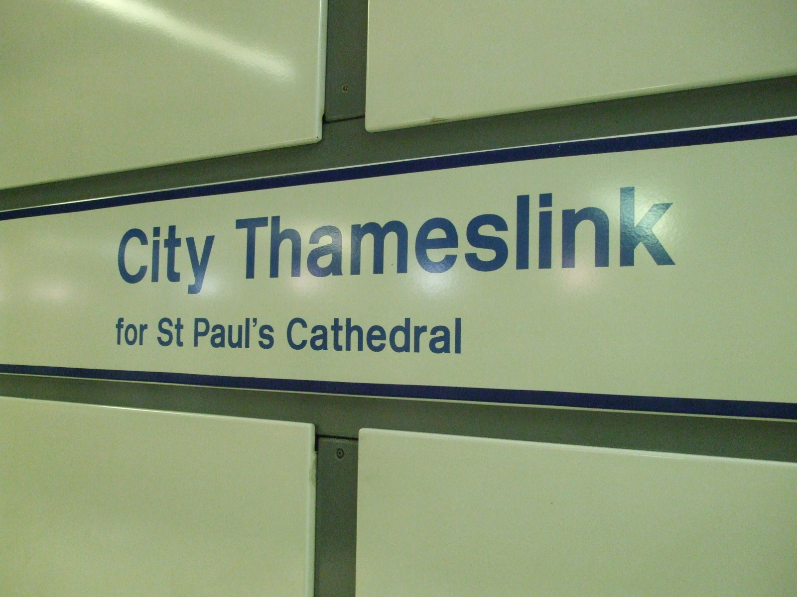
Signage on southbound platform, indicating proximity to St. Paul's Cathedral
Major railway stations in Britain Managed by Network Rail: Managed by train operator: Brighton • Bristol Parkway • Bristol Temple Meads • Cardiff Central • Cardiff Queen Street • Crewe • Doncaster • Glasgow Queen Street • Manchester Victoria • Newcastle • Nottingham • Reading • Sheffield • Southampton • YorkRailway stations of London: Central area | Greater London Managed by Network Rail: Managed by train operator: Blackfriars • Clapham Junction • City Thameslink • Marylebone • Moorgate • Stratford • Waterloo EastCategories:- Rail transport stations in London fare zone 1
- Railway stations in the City of London
- Railway stations opened in 1990
- Railway stations opened by British Rail
- Railway stations served by Southeastern
- DfT Category C1 stations


Wikimedia Foundation. 2010.