- Glasgow Queen Street railway station
Infobox UK station
name = Glasgow Queen Street
other_name = Sràid na Banrighinn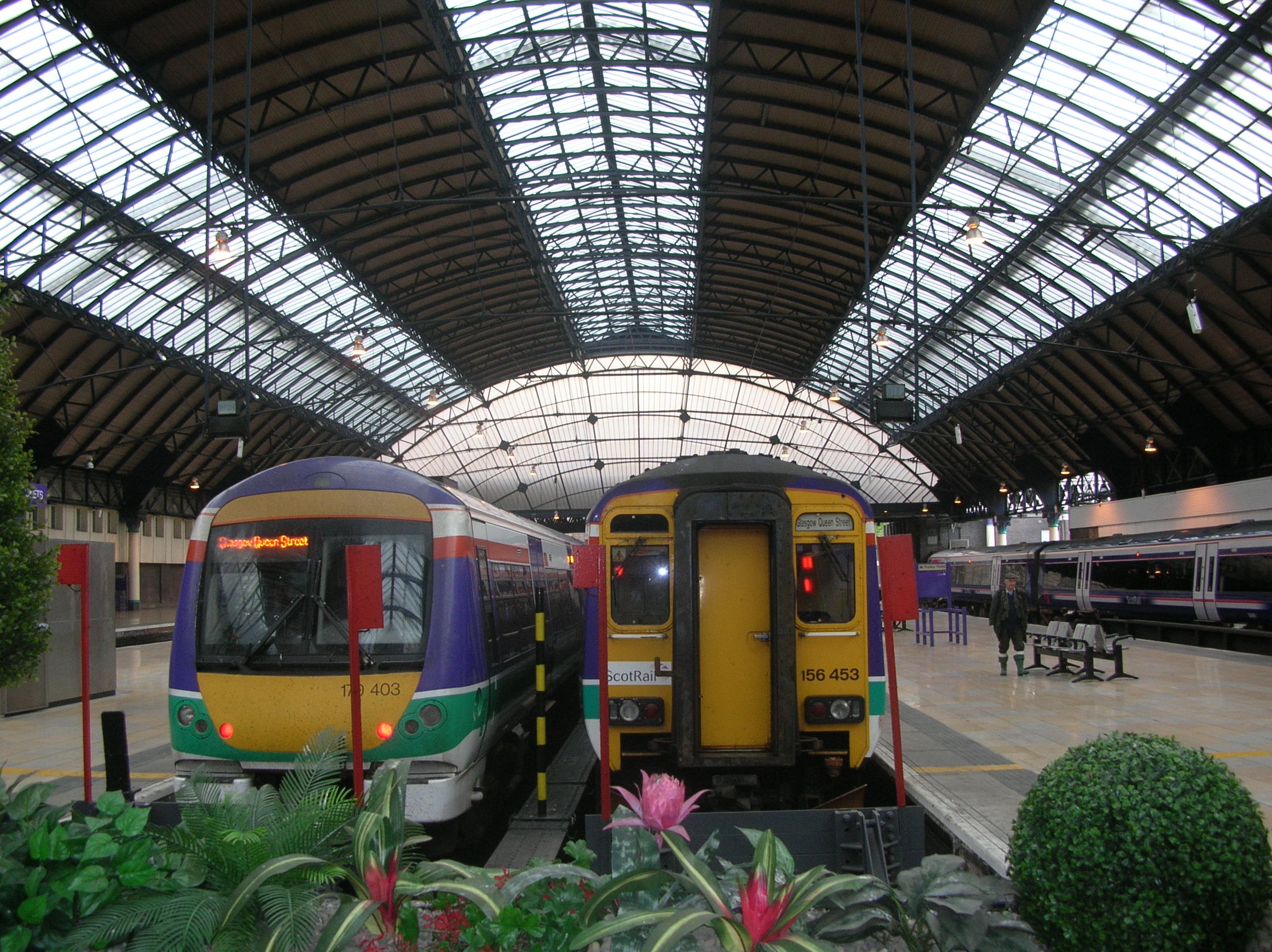
caption = Glasgow Queen Street high level platforms
code = GLQ
manager =First ScotRail
locale =Glasgow
borough =Glasgow
pte = SPT
latitude = 55.8622
longitude = -4.2512
usage0203 = 2.029
usage0405 = 3.731
usage0506 = 3.735
usage0607 = 14.053
platforms = 9 (2 on low level)
years = 21 February 1842
events = High Level Station opened
years1 = 15 March 1886
events1 = Low Level Station opened
years2 =
events2 =Glasgow Queen Street ("Glaschu Sràid na Banrighinn" in Gaelic) is a
railway station inGlasgow ,Scotland , and is one of the city's town centre termini. The station—the third busiest station in Scotland [ [http://www.rail-reg.gov.uk/server/show/nav.1529| Office of Rail Regulation, Station Usage] ] —is situated between George Street to the south and Cathedral Street Bridge to the north, at the northern end of Queen Street adjacent to George Square. [ [http://maps.google.co.uk/maps?f=q&hl=en&geocode=&q=queen+street+station+glasgow&sll=53.800651,-4.064941&sspn=12.687488,28.300781&ie=UTF8&ll=55.863127,-4.251237&spn=0.011752,0.027637&z=15 Google Maps listing] .]ervices
Glasgow Queen Street is a key city centre terminus, serving northern and eastern Scotland—including Edinburgh Waverley—from its high level platforms. The station is managed by
First ScotRail who operate all of the passenger services including the flagshipGlasgow toEdinburgh shuttle. Queen Street's platforms are situated over two floors, with each serving different routes:High Level
The high level station is the upper, and largest, floor of the complex, and serves as the terminus for routes through eastern and northern Scotland:
*Edinburgh Waverley: link to capital in around 45 minutes; connecting with onward services to
Fife .
*Aberdeen railway station . (This route also serves Perth andDundee railway station .)
*Inverness railway station .
*Highland Main Line ("West Highland line") to Fort William, Mallaig, and Oban.First Scotrail dieseltrains serve the high level. The high level railway approaches the station building through the Queen Street Tunnel, which runs beneath theBuchanan Galleries shopping centre to the Sighthill area northeast of the city centre whence the tracks converge from their various routes.Low Level
Queen Street low level is the smaller set of platforms of the station, and is accessed downstairs of the high level. The low level is the most central city centre stop for the
North Clyde Line of the Glasgow suburban electric network. Trains frequently run between Helensburgh, Balloch, and Milngavie on theFirth of Clyde , and Airdrie—on the edge of theGreater Glasgow conurbation, Drumgelloch, and Springburn.The low level, unlike the high level, is not a terminus, but rather an intermediate stop for the through line; it is, however, as heavily used as the high level. The line is also served by
Charing Cross railway station and byHigh Street railway station , both of which lie within Glasgow city centre.The stretch of this line between High Street, Queen Street and Charing Cross was in fact built before the
Glasgow Subway , making it the oldest piece of underground railway in the city.History
The station was originally built for the
Edinburgh and Glasgow Railway , opened on 18 February 1842. The climb through the tunnel to Cowlairs was at 1 in 42 and until 1909 trains were hauled up on a rope operated by astationary engine although experiments were carried out using banking engines between 1844/48. In 1945 there was a minorrailway accident when a train leaving the station slipped to a standstill and rolled back into another train. Modern diesel trains have no difficulty with the climb.The adjacent Buchanan Street station of the rival
Caledonian Railway was closed on 7 November 1966 as a result of theBeeching axe and its services toStirling , Perth,Inverness ,Dundee andAberdeen were transferred to Queen Street. This caused difficulties with longer trains, as Queen Street is in a confined position between George Square and the tunnel and barely takes six coaches. Current trains, however, are usually of two to four coaches, running more frequently.Queen Street
signal box , opened in 1881, was located on a gantry spanning the tracks close to the tunnel mouth. It closed on26 February 1967 when control of the High Level station was transferred to a panel in Cowlairs signal box. That box was superseded by the new Cowlairs signalling centre on28 December 1998 .The Low Level station had two signal boxes, 'Queen Street West' and 'Queen Street East'. Both boxes were situated over the tracks and both were closed on
8 February 1960 . The low level lines came under the control of Yoker Signalling Centre (IECC) on19 November 1989 .In early 2007, Network Rail began construction work on a new Glasgow Signalling Centre on the Cowlairs site which will ultimately replace signal boxes in the Glasgow area, north and south of the River Clyde.
Proposals
Various schemes to link Queen Street to Central Station have been considered over the years, as Glasgow's weakest link in railway terms is that passengers travelling from the north of Scotland to the south via Glasgow and vice-versa have to traverse the city centre by road via a shuttle bus, or on foot. Even the
Glasgow subway serves neither main line station, although Buchanan Street subway station is at least adjacent to Queen Street.The preferred solution to the problem is a Crossrail initiative which would use a disused freight line which links High Street to the Gorbals area. This initiative [http://www.spt.co.uk/microsites/Crossrail/] was recently awarded a grant from the
Scottish Government to investigate costs for possible link to be built between the two halves of the Glasgow rail network. A date of 2009 is estimated for completion of the project.In August 2006,
Network Rail revealed that it intends to redevelop Queen Street substantially, making use of the Hanover Street car park area to provide more retail space, and also to upgrade the station's entrances.The CRT screens which displayed train timetables and passenger information were replaced with new LED information boards similar, but smaller in size, to those in
Glasgow Central Station in January 2008.References
Notes
ources
*
*
*
* [http://www.hipkiss.org/cgi-bin/maps.pl?book=British%20Transport%20Commission%20Passenger%20Transport%20In%20Glasgow%20And%20District Glasgow and District Transport Plans - 1951] with details of Queen Street and proposed new stationrail line
previous=Glasgow High Street
next=Charing Cross
route=First ScotRail North Clyde Line
col=FF80C0rail line
previous=
next=Dalmuir
route=First ScotRail West Highland Line
col=FF80C0rail line
previous=
next=Bishopbriggs
route=First ScotRail Croy Line
col=FF80C0rail line
previous=
next=Springburn
route=First ScotRail Cumbernauld Line
col=FF80C0rail line
previous=
next=Ashfield
route=First ScotRail Maryhill Line
col=FF80C0rail line
previous=
next=Croy
route=First ScotRail Glasgow to Edinburgh via Falkirk Line
col=FF80C0rail line
next=Charing Cross
Line and Station open
previous=Glasgow High Street
Line and Station open
route=Glasgow City and District Railway North British Railway
col=8f691erail line
next=Cowlairs
Line open; Station closed
previous=
route=Edinburgh and Glasgow Railway North British Railway
col=8f691e
###@@@KEYEND@@@###
Wikimedia Foundation. 2010.